The best hikes from bus stations around Pallars Jussa
4.4
(2905)
21,946
hikers
15
hikes
Bus station hiking trails around Pallars Jussà are set within the diverse landscapes of the Catalan Pyrenees, characterized by high mountain terrain, deep gorges, and tranquil lakes. The region features a blend of rugged peaks, extensive forests, and dramatic cliffs, alongside rolling plains and agricultural areas. This varied topography includes the iconic Congost de Mont-rebei gorge, numerous glacial lakes in Vall Fosca, and the high-altitude environments of Aigüestortes and Estany de Sant Maurici National Park.
Best bus station hiking trails…
Last updated: September 26, 2026
4.5
(6)
55
hikers
8.55km
03:34
460m
460m
Moderate hike. Good fitness required. Mostly accessible paths. Sure-footedness required.
5.0
(1)
11
hikers
6.39km
01:59
170m
170m
Moderate hike. Great for any fitness level. Mostly accessible paths. Sure-footedness required.

5.0
(1)
11
hikers
13.3km
04:41
740m
740m
Moderate hike. Good fitness required. Mostly accessible paths. Sure-footedness required.
3.0
(1)
9
hikers
7.77km
02:03
70m
70m
Moderate hike. Good fitness required. Easily-accessible paths. Suitable for all skill levels.
10
hikers
Hard hike. Very good fitness required. Easily-accessible paths. Suitable for all skill levels.
Get access to more routes and recommendations from other explorers.
Already have an account?
Our route recommendations are based on thousands of hikes, rides, and runs completed by other people on komoot.
Start today with a free account
Your next adventure awaits.
Popular around Pallars Jussa
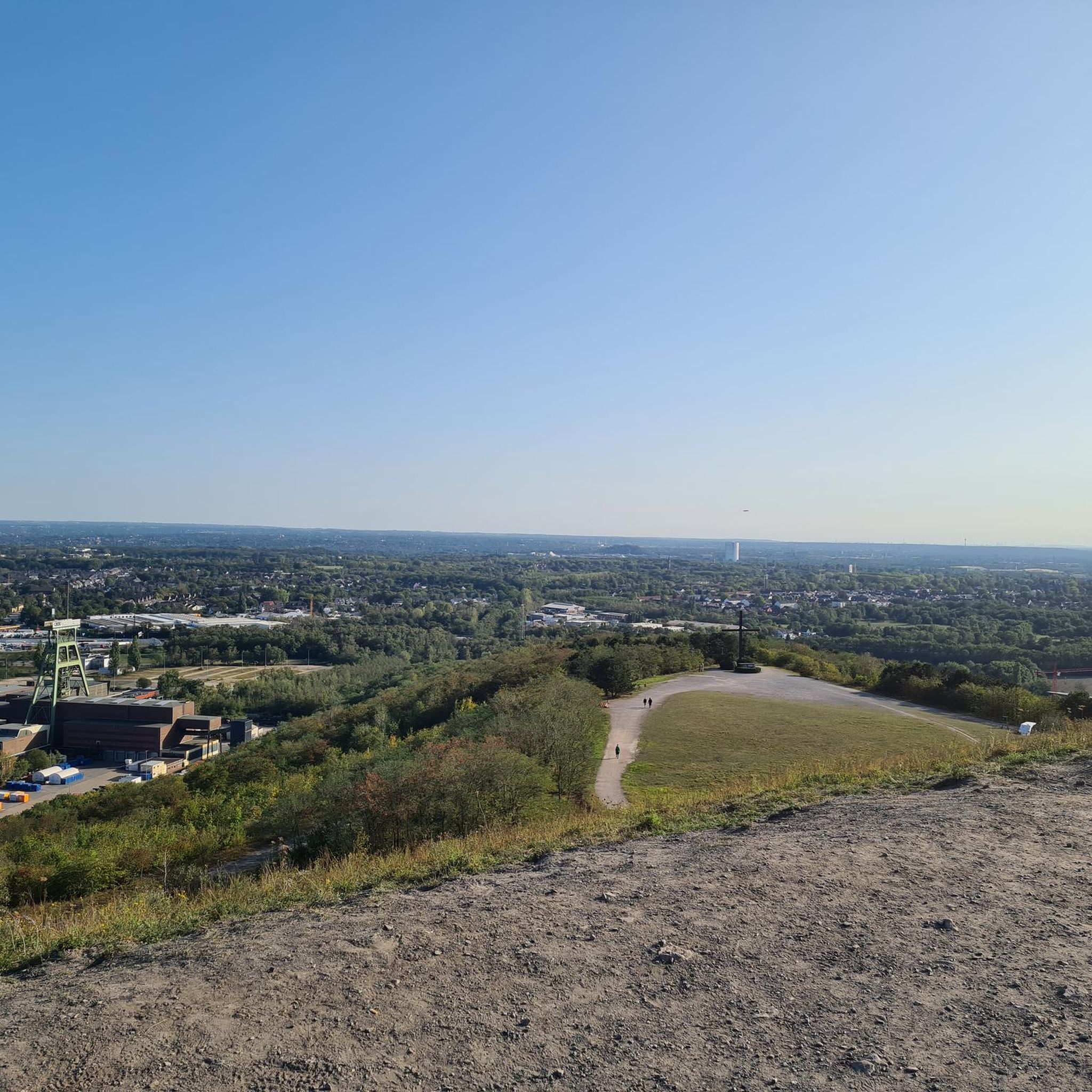
Hikes from bus stations around Estany de Saburó
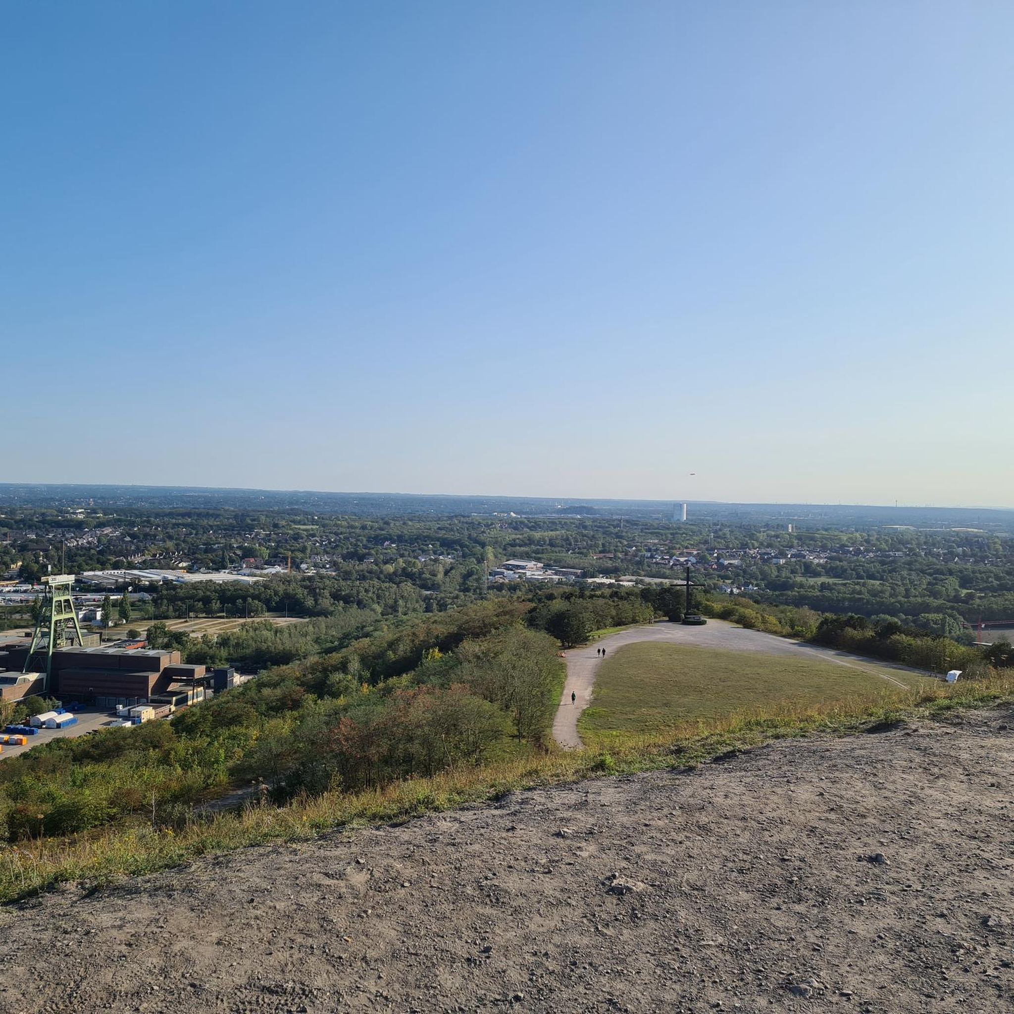
Hikes from bus stations around Estany de Mar

Hikes from bus stations around Pantà de Terradets

Hikes from bus stations around Embassament de Sallente

Hikes from bus stations around Estany Gento
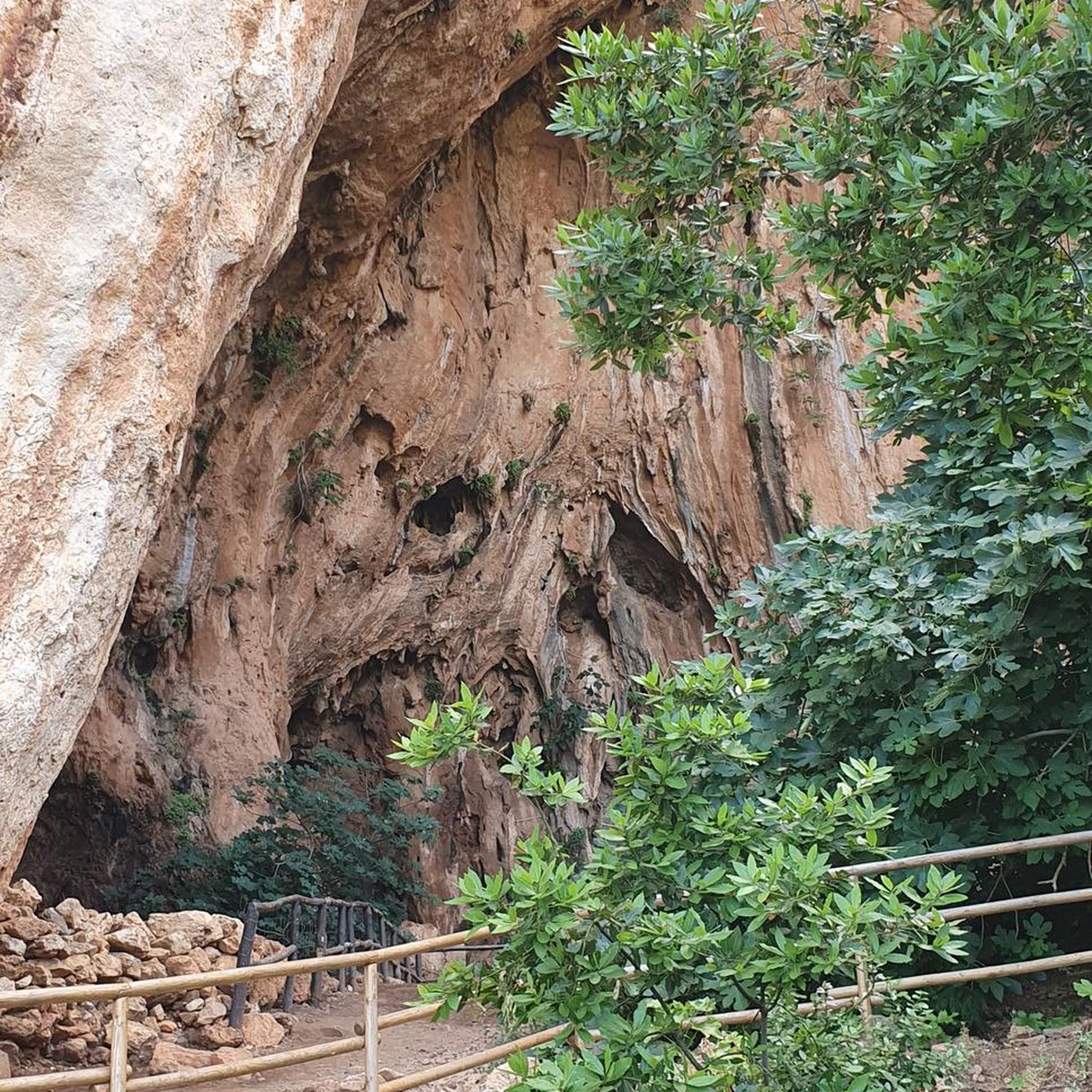
Hikes from bus stations around Pantà de Sant Antoni

Hikes from bus stations around Estany Fosser

Hikes from bus stations around Estany de Cubieso

Hikes from bus stations around Estany de la Colomina

Hikes from bus stations around Estany Tort
Other adventures around Pallars Jussa


Tips from the Community

When walking towards the river you will find the old mill connected to a canal that brings the water to it. Today it creates electricity.
0
0

The trail leads you through a tunnel of vegetation that meanders through the flora, creating an immersive and charming journey. It is a fun and unique experience, but it is important to be careful with the branches on the ground and tree roots to avoid any unforeseen events.
0
0


From this ridge, at about 1,500 meters above sea level, you can see the bare peaks that exceed 2,000 meters, the lush forest slopes, the grass meadows, and the valley.
0
0
Beranui is a beautiful mountain town in the Catalan Pyrenees. It is located on a promontory at 1000 meters above sea level and surrounded by mountains, which gives it spectacular views. Among its houses stands the tower of the church of San Juan Evangelista, from the 14th century.
1
0

Located at the confluence of the Sarroca and Flamicell rivers, Senterada is a good place to start the adventure through this region and the ascent to Lake Montcortès.
1
0

Great waterfall (but only one of many) with a natural pool in front, which is also good for cooling off
0
0

Nice waterfall that we can see from the trail.
0
0
Frequently Asked Questions
How many bus station hiking trails are available in Pallars Jussà?
Pallars Jussà offers a wide selection of hiking trails accessible directly from bus stations, with over 100 routes to explore. These routes cater to various fitness levels, including easy, moderate, and challenging options.
What types of landscapes can I expect on bus-accessible hikes in Pallars Jussà?
The region boasts incredibly diverse landscapes, even on trails accessible by bus. You can expect to traverse everything from agricultural plains and thick forests to dramatic cliff-tops and areas offering panoramic views of the Noguera Pallaresa basin. The Mont-rebei Gorge, for instance, offers spectacular trails carved into cliffs, while other routes might lead you through tranquil valleys or past historic sites.
Are there any easy, family-friendly bus station hikes in Pallars Jussà?
Yes, Pallars Jussà has several easy routes perfect for families. For example, the Hermitage and Castle of Oroners — La Noguera route is an easy 5.7 km hike with minimal elevation gain, offering a pleasant outing. Another great option is the Gerri de la Sal loop from Gerri de la Sal, which is just over 4 km and also considered easy.
Can I find circular hiking routes that start and end at a bus station?
Absolutely. Many of the bus-accessible trails in Pallars Jussà are designed as circular routes, allowing you to return to your starting point without needing additional transport. An example is the Río Noguera Pallaresa y Fontllonga i Ametlla — circular por la Sierra de Montsec d'Ares, which offers a challenging 20 km loop through diverse terrain.
What are some notable natural features or landmarks I can see on these bus-accessible trails?
Many trails accessible by bus pass by significant natural features and historical landmarks. You might encounter the dramatic Mont-rebei Gorge, the stunning Roca Regina and Barranc del Bosc, or even the serene Estany Gento. The region is also dotted with historic castles like Castell de Mur and Claverol Castle, some of which may be visible or accessible from certain routes.
What is the best season for hiking from bus stations in Pallars Jussà?
Pallars Jussà offers hiking opportunities year-round, but the best season largely depends on the specific area and desired experience. Spring and autumn generally provide pleasant temperatures and vibrant scenery. In the northern, higher-altitude areas like Vall Fosca, summer is ideal, while the southern parts (Conca de Tremp and Serra de Montsec) can be enjoyed in spring, autumn, and even mild winter days. Always check local weather conditions before heading out.
Are there any dog-friendly bus station hikes in Pallars Jussà?
Many trails in Pallars Jussà are dog-friendly, allowing you to enjoy the natural beauty with your canine companion. However, it's always recommended to keep your dog on a leash, especially in areas with livestock or wildlife, and to check specific trail regulations, particularly if entering protected areas like the Aigüestortes and Estany de Sant Maurici National Park. Always carry water for your dog and clean up after them.
What do other hikers enjoy most about bus-accessible trails in Pallars Jussà?
The komoot community highly rates the hiking experiences in Pallars Jussà, with an average score of 4.47 stars. Reviewers often praise the region's diverse landscapes, from dramatic gorges to tranquil lakes, and the well-maintained trails that offer stunning viewpoints. The convenience of accessing these natural wonders directly from bus stations is also frequently highlighted.
Are there viewpoints along the bus station hiking trails in Pallars Jussà?
Yes, many bus-accessible trails in Pallars Jussà lead to or pass by spectacular viewpoints. The region is known for its panoramic vistas of the Noguera Pallaresa basin, the Sant Antoni reservoir, and the surrounding mountains. Specific viewpoints like those at Llimiana, Claverol, Claret, and Obeix offer breathtaking photographic opportunities and are often integrated into hiking routes.
Can I find cafes or pubs near bus stations for refreshments after a hike?
Many towns and villages in Pallars Jussà that serve as bus station hubs for hiking trails offer local amenities, including cafes, restaurants, and small shops. These provide convenient spots for refreshments, a meal, or to pick up supplies before or after your hike. It's a good idea to check the specific village's offerings beforehand, especially in smaller, more remote locations.
What is the typical duration and elevation gain for moderate bus station hikes?
Moderate bus station hikes in Pallars Jussà vary significantly in duration and elevation gain, but generally offer a good challenge without being overly strenuous. For example, the I left Gerri – Gerri de la Sal loop from Gerri de la Sal is a moderate 12.1 km route with around 311 meters of elevation gain, typically taking over 3 hours to complete. Another moderate option, the Refugio de Colobor – Refugio de Colobor loop from Àger, covers 14.3 km with about 711 meters of ascent, requiring a longer duration.
Most popular routes around Pallars Jussa
Most popular attractions around Pallars Jussa

Get inspired with the komoot mobile app


Didn’t find what you were looking for?
Check out more Hikes throughout Pallars Jussa below and find the perfect route in your destination.
Explore more
Browse the best Hikes in other regions.
