The best hikes from bus stations around Cerdanya
4.5
(3351)
29,502
hikers
28
hikes
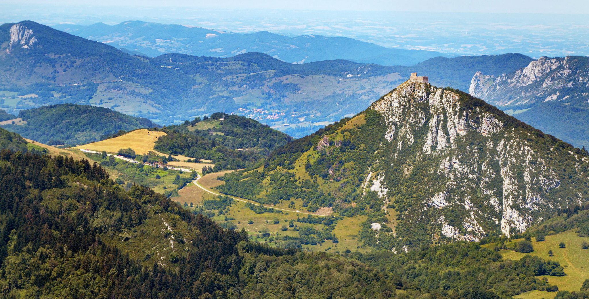
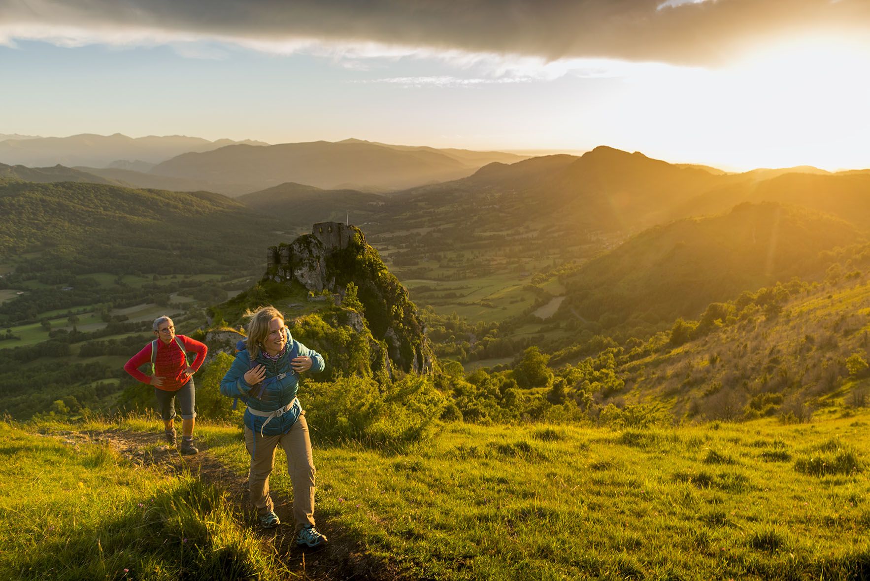
Hiking around Cerdanya offers diverse natural landscapes within the Pyrenees, characterized by rugged mountains, verdant valleys, and glacial lakes. The region features high peaks, including Puigpedrós and Puigmal, alongside extensive forests and dramatic geological formations. This varied topography supports a rich mosaic of ecosystems, providing a wide range of terrain for bus station hiking trails. The Cerdanya valley itself is a prominent feature, embraced by the Serra del Cadí and the Cadí-Moixeró Natural Park.
Best bus station hiking trails around…
Last updated: November 20, 2026
5.0
(3)
36
hikers
19.2km
05:40
560m
560m
Hard hike. Very good fitness required. Easily walkable paths.
4.4
(5)
39
hikers
13.3km
04:38
490m
490m
Moderate hike. Good fitness required. Mostly walkable paths. Sure-footedness required.

4.0
(5)
25
hikers
13.7km
04:36
590m
590m
Moderate hike. Good fitness required. Mostly walkable paths. Sure-footedness required.
15
hikers
19.8km
06:40
740m
740m
Hard hike. Very good fitness required. Mostly walkable paths. Sure-footedness required.
34
hikers
8.56km
02:19
110m
110m
Moderate hike. Good fitness required. Easily walkable paths.
Get access to more routes and recommendations from other explorers.
Already have an account?
Our route recommendations are based on thousands of hikes, rides, and runs completed by other people on komoot.
Start today with a free account
Your next adventure awaits.

Other adventures around Cerdanya


Tips from the Community

Viewpoint with beautiful views. It is worth stopping to contemplate the landscape.
0
0
Small refuge located in a beautiful place. The climb through the Vall de l'Ingla is quite tough, about 14km and 800m of elevation gain. From the refuge you can go to Coll de Pendis.
0
0

Small Romanesque church located on a plateau with open views of the Cadí and the Segre valley. It retains its original structure and exudes a beautiful simplicity, surrounded by meadows and silence. It is a perfect place to take a break and feel the calm of the mountain. By mountain bike, access is by track with some rocky sections but without excessive difficulty. Tip: take the opportunity to have a drink or take a photo before facing the next climb; the morning light here is especially beautiful.
0
0
Aransa is a small town in the municipality of Lles de Cerdanya, located at an altitude of about 1,550 meters at the foot of the Cadí massif. Known for its natural environment and Nordic ski slopes, the town maintains its mountain architecture with stone houses and open views over the valley. It is a point of passage for hiking, mountain biking and e-bike routes, with paths that connect to the Fornell refuge, the Pera lakes or the Trava pass. The accesses have unevenness and sections of forest track, but are cycleable with adequate preparation. Good place to take a break, fill up with water and enjoy the Pyrenean landscape before continuing the route.
0
0

The chapel of Sant Cosme is part of the group of hermitages and wayside chapels, whose function was to protect travelers from dangers. It is located at a strategic point on the road that connects Lles with Arànser. The remains that are preserved are from the modern period.
0
0
The Cerdanya 8 Trail that follows the old path from Músser to Arànser is a charming itinerary that stands out for the tranquility and beauty of the route. Ideal for nature lovers, this route crosses a dense and shady forest, offering a serene and relaxing experience. The path begins with a steep slope that winds through the middle of the forest. This more demanding but very well-laid out section allows you to gain altitude progressively thanks to the tight curves, offering a dynamic walk surrounded by vegetation. It is perfect for enjoying the silence and freshness that the forest provides. After the initial climb, the path becomes flatter with longer loops that keep the route pleasant and less demanding. This part invites you to walk calmly and admire the beauty of the pine forests. The path is well defined and easy to follow, making it suitable for hikers with an average physical condition.
1
0

very beautiful chapel. unfortunately closed.
1
0

Frequently Asked Questions
How many bus-accessible hiking trails are available in Cerdanya?
There are over 25 bus-accessible hiking trails in Cerdanya, offering a diverse range of experiences from easy strolls to challenging mountain ascents. This guide features 27 routes that start conveniently from bus stations.
Are there any easy, family-friendly bus station hikes in Cerdanya?
Yes, Cerdanya offers several easy routes perfect for families. For instance, the Horses in Talló – Information point loop from Bellver de Cerdanya is an easy 6.3 km hike with minimal elevation gain, ideal for a relaxed outing.
What kind of landscapes can I expect on bus station hikes in Cerdanya?
Cerdanya's bus-accessible trails traverse a rich variety of landscapes. You'll find routes leading through lush valleys, dense coniferous forests, and diverse Alpine meadows. The region is nestled in the Pyrenees, offering views of majestic peaks and, on some trails, glimpses of picturesque glacial lakes.
Are there any circular bus station hikes in Cerdanya?
Many of the bus-accessible routes in Cerdanya are circular, allowing you to start and end your hike at the same bus station without needing additional transport. Examples include the moderate Main square – Bellver de Cerdanya loop from Bellver de Cerdanya and the more challenging Horses in Talló – Cortals de l'Ingla Refuge loop from Bellver de Cerdanya.
What do other hikers enjoy most about bus station hikes in Cerdanya?
The komoot community highly rates hiking in Cerdanya, with an average score of 4.6 stars. Reviewers often praise the region's stunning and diverse natural landscapes, the convenience of accessing trails directly from bus stops, and the well-maintained paths that cater to various fitness levels.
Are there any challenging bus station hikes for experienced hikers?
Absolutely. For experienced hikers seeking a challenge, Cerdanya offers several difficult bus-accessible routes. The Cortals de l'Ingla Refuge – Font Freda loop from Bellver de Cerdanya is a demanding 19.7 km trail with significant elevation gain, providing a rewarding experience amidst the Pyrenean scenery.
Can I find any mountain huts or refuges along bus-accessible trails in Cerdanya?
Yes, some bus-accessible routes can lead you near or past mountain huts. For example, the Cortals de l'Ingla Refuge is accessible on certain routes, offering a potential stop or overnight stay. Other notable refuges in the wider Cerdanya area include Prat d'Aguiló Refuge and Cap del Rec Refuge.
Are there any scenic viewpoints or notable peaks accessible from bus stations?
While direct bus access to the highest peaks is limited, many trails offer stunning panoramic views of the Cerdanya valley and surrounding mountains. You might encounter viewpoints with vistas towards prominent summits like Puigpedrós or Puigmal. The region's diverse topography ensures picturesque scenery throughout your hike.
What is the best time of year to go hiking from bus stations in Cerdanya?
Cerdanya benefits from over 3,000 hours of sunshine annually, making it an appealing destination throughout the year. Spring and autumn offer pleasant temperatures and vibrant colors, while summer is ideal for higher-altitude routes. Winter can be beautiful for snowshoeing, but some trails may require specific gear or be inaccessible due to snow.
Are there any moderate bus station hikes in Cerdanya?
Yes, Cerdanya offers a good selection of moderate bus-accessible hikes. The Pont del Diable – Prat de les Basses loop from Martinet is a moderate 13.6 km route that provides a balanced challenge with beautiful scenery, perfect for those looking for more than an easy stroll but less than a difficult ascent.
Most popular routes around Cerdanya
Most popular attractions around Cerdanya

Get inspired with the komoot mobile app


Explore more
Browse the best Hikes in other regions.
