The best hikes from bus stations around Segovia
4.5
(2279)
16,223
hikers
216
hikes
Bus station hiking trails around Segovia offer access to a diverse range of landscapes, from the dramatic peaks of the Sierra de Guadarrama National Park to the deep limestone gorges of Hoces del Duratón. The region is characterized by pine forests, river valleys like the Eresma and Clamores, and impressive granite rock formations. Hikers can explore trails that wind past historic sites, including the Roman aqueduct and the Alcázar, integrating natural beauty with rich cultural heritage.
Best bus station hiking…
Last updated: August 6, 2026
4.8
(9)
53
hikers
9.62km
02:59
360m
360m
Hike the moderate Pingarrón - Camino las Vueltas Loop Trail in Sierra de Guadarrama National Park, covering 6.0 miles with mountain views.
5
hikers
7.80km
01:59
20m
20m
Hike the easy 4.8-mile (7.8 km) Vía Verde del Eresma Trail, exploring diverse landscapes and old railway history near Hontanares de Eresma.

Sign up for free
4.8
(47)
627
hikers
7.27km
02:49
400m
400m
Moderate hike. Good fitness required. Mostly accessible paths. Sure-footedness required.
4.6
(32)
281
hikers
11.4km
04:08
310m
310m
Moderate hike. Good fitness required. Mostly accessible paths. Sure-footedness required.
4.7
(39)
232
hikers
Moderate hike. Good fitness required. Easily-accessible paths. Suitable for all skill levels.
Get access to more routes and recommendations from other explorers.
Sign up for free
Already have an account?
Our route recommendations are based on thousands of hikes, rides, and runs completed by other people on komoot.
Start today with a free account
Your next adventure awaits.
Login or Signup
Popular around Segovia
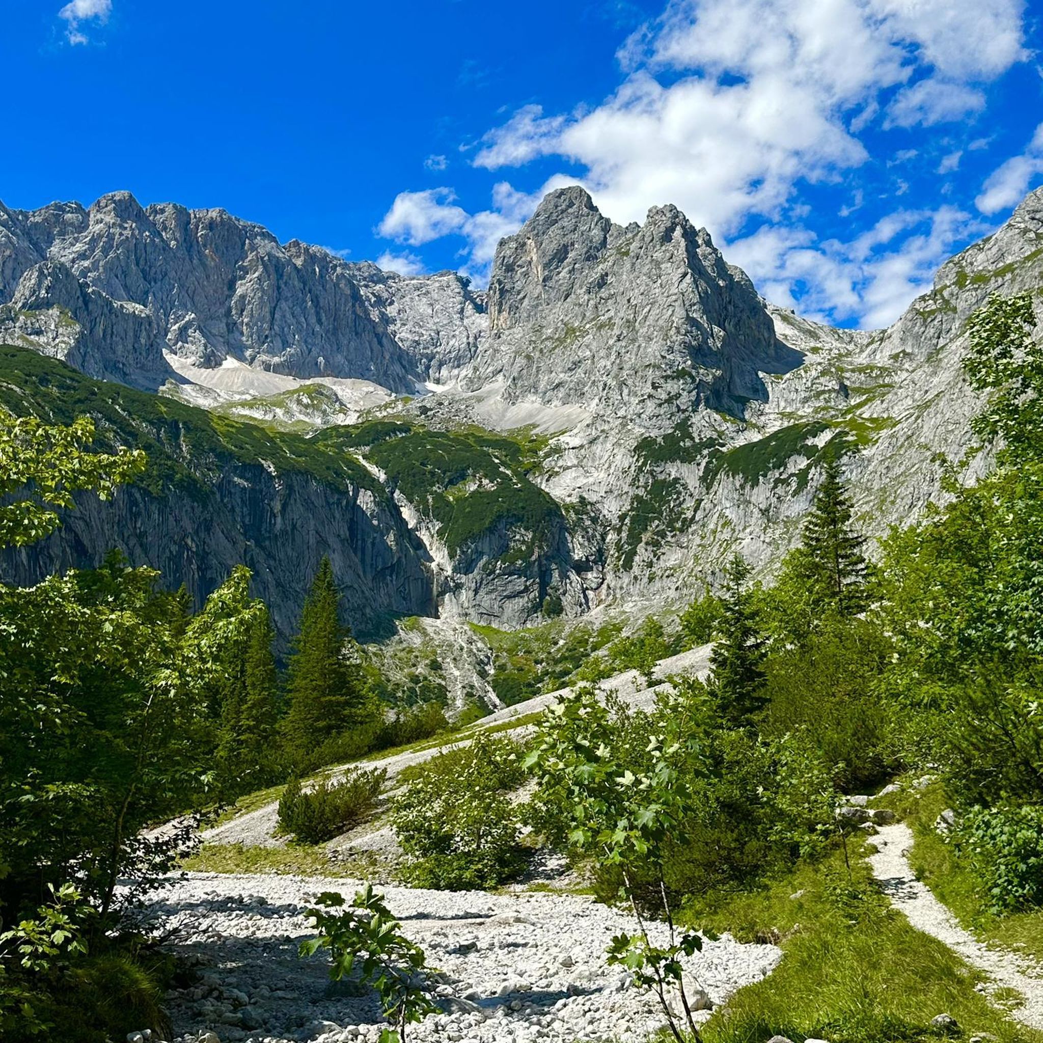
Hikes from bus stations in Sierra Norte De Guadarrama

Hikes from bus stations around Embalse del Pontón Alto

Hikes from bus stations in Bosque De Riofrío
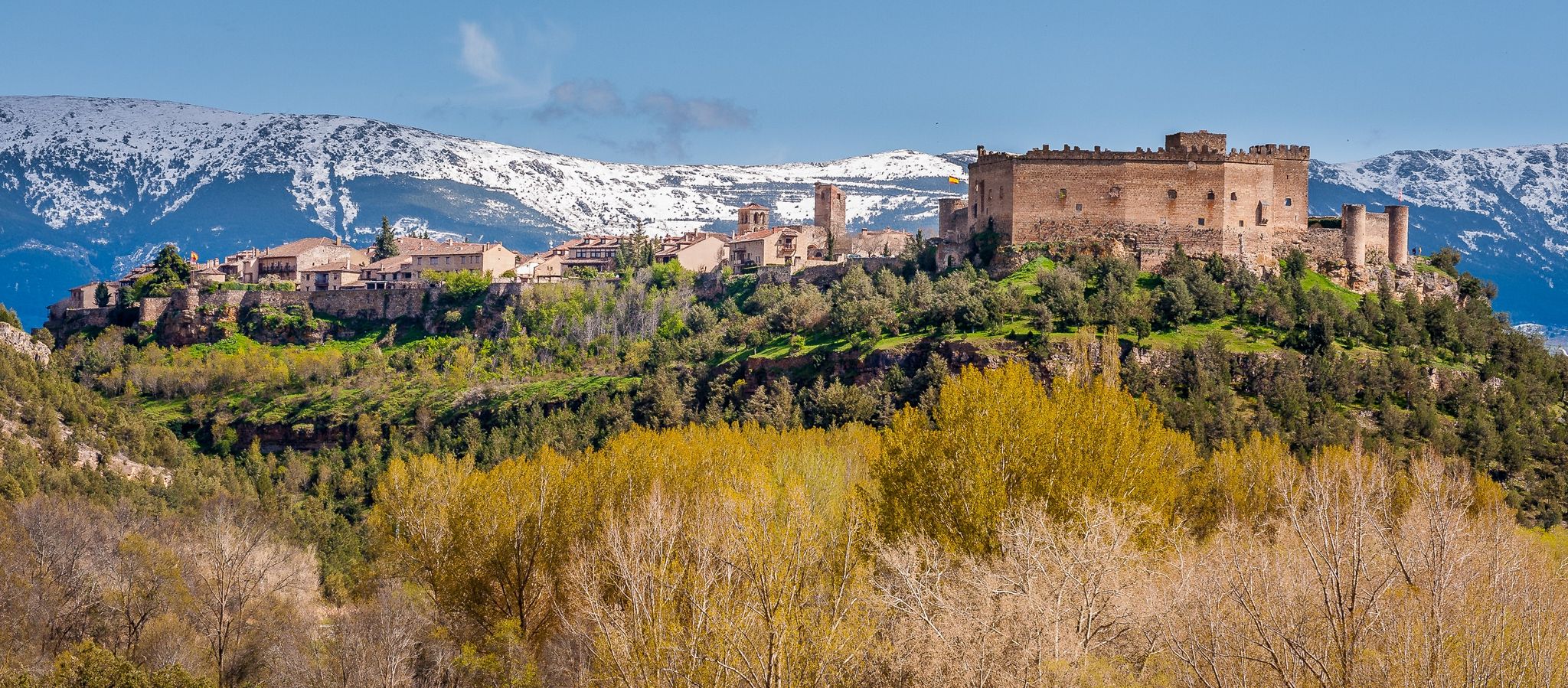
Nature, history and tradition – Segovia Trail (GR 88)

The treasures of Guadarrama – on foot along the GR 10 in Madrid

Height Challenges — Ports in Castilla y León
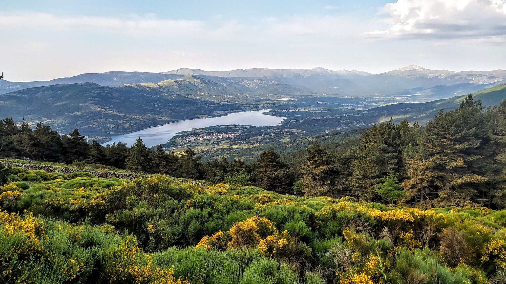
Forests and palaces – Tour of the Sierra de Guadarrama Mountain Range on MTB
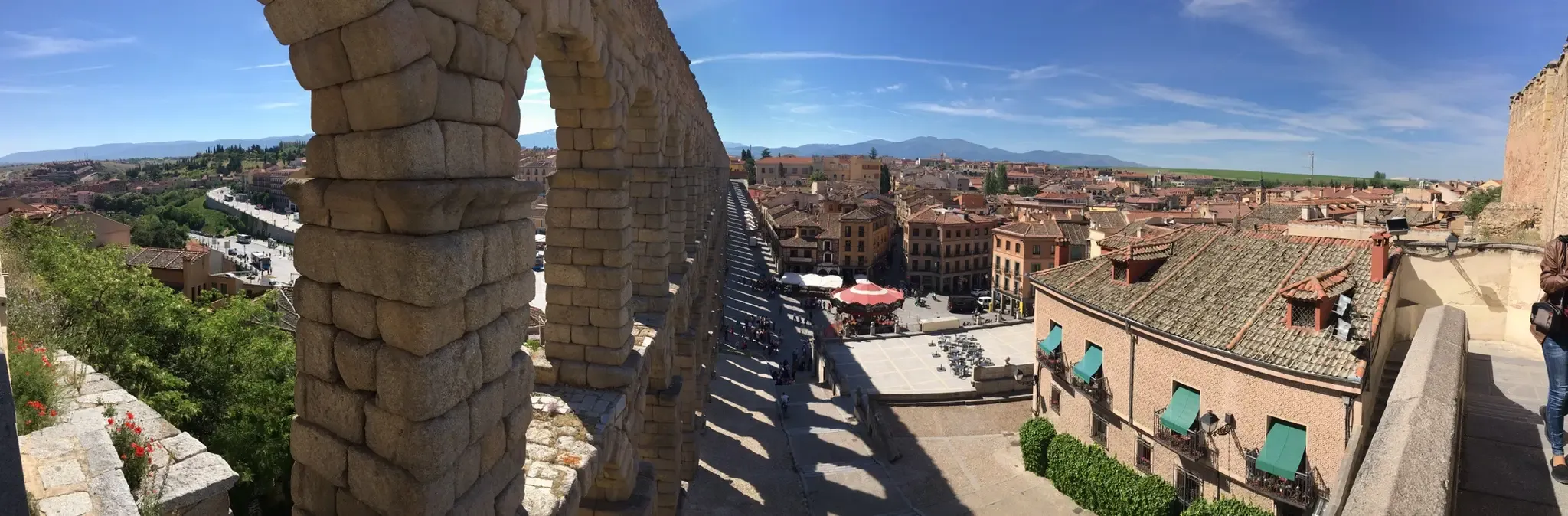
Riding through Spain’s Segovian countryside — Eresma Valley Greenway
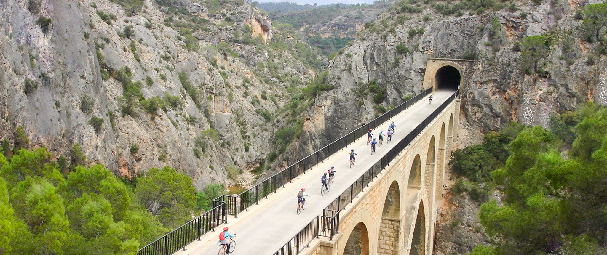
Vías Verdes – traffic-free cycling along railway history in Spain
Other adventures around Segovia


Tips from the Community

You can watch to get an idea https://youtu.be/FAiQJ5lAggg
0
0

Fork in the Schmid Trail
0
0

The Fuenfría Fountain is an iconic feature in the Fuenfría Valley, in the Sierra de Guadarrama, near Cercedilla (Madrid). It is important to note that the term "Fuenfría" often refers to both the fountain and the stream that flows from it, as well as the historic mountain pass. It is located in the upper reaches of the Fuenfría stream, which is one of the sources of the Guadarrama River. The Fuenfría spring gives its name to the entire valley and the mountain pass. "Fuenfría" comes from the word "cold fountain," referring to the low temperature of its waters. The Fuenfría area has historically been a crucial pass in the Sierra de Guadarrama, used since Roman times. The Fuenfría Roman Road, which linked Segovia with Titulcia, passed through this valley. Although the spring itself is not of Roman origin, the Fuenfría Pass and the presence of fresh water at this point have been of vital importance to travelers throughout the centuries. In fact, ancient "ventas" or inns, such as Venta de la Fuenfría or Fonfrida, were located at the Fuenfría Pass, offering shelter and supplies to hikers. The Fuenfría Valley is a valuable natural area, part of the Sierra de Guadarrama National Park. The spring and its surroundings are a point of interest on numerous hiking trails. It is important not to confuse it with other "Fuenfría Springs" that may exist in other provinces, such as Segovia or Málaga, as there are several spots with the same name due to the characteristics of their waters. The one in Cercedilla is the best known in the context of the Sierra de Guadarrama and the Roman road.
0
0
Choose if you want to go to Puerto de la Fuenfria, on the right, you have a fountain ahead, and on the left to Collado Ventoso, there is also a fountain
1
0
This section crosses a ski slope, in winter be very careful
0
0
Very special place in Spring.
0
0
I love this virgin. with her skies on her back.
0
1
a huge meadow to rest, although it is impossible to be there on the weekend, there are so many people.
0
0
Frequently Asked Questions
How many hiking trails are accessible directly from bus stations around Segovia?
There are nearly 200 hiking routes around Segovia that are easily accessible from various bus stations, offering a wide range of experiences for all skill levels. These trails allow you to explore the diverse landscapes of the region without needing a car.
What types of landscapes can I expect on bus-accessible hikes near Segovia?
The bus-accessible hikes around Segovia offer a rich variety of landscapes. You can expect trails winding through the pine forests and rocky ridges of the Sierra de Guadarrama National Park, dramatic limestone gorges carved by the Duratón River in the Hoces del Duratón Natural Park, and serene paths along the Eresma and Clamores Valleys, often with views of the city's historic landmarks.
Are there easy or family-friendly hiking options from Segovia's bus stations?
Yes, there are many easy and family-friendly options. For instance, the Vía Verde del Eresma Trail is an easy route along repurposed railway tracks, offering a gentle, flat path suitable for all ages. Overall, 44 of the bus-accessible routes are rated as easy.
Can I find challenging trails accessible by bus from Segovia?
Absolutely. For those seeking a challenge, there are 50 difficult routes accessible by bus. These often venture into the higher elevations of the Sierra de Guadarrama, offering more strenuous climbs and rewarding panoramic views. An example of a moderate route that offers a good workout is the Pingarrón - Camino las Vueltas Loop Trail, which includes significant elevation changes.
Are there circular hiking routes starting from bus stops in the Segovia region?
Yes, many of the trails are circular, allowing you to start and end your hike at the same bus stop. For example, the Navalacarreta Bridge – Puente de los Canales loop from Real Sitio de San Ildefonso is a moderate circular route that takes you through scenic areas.
What interesting landmarks or attractions can I see along these bus-accessible trails?
Many trails offer views of or pass by significant landmarks. You can often spot the iconic Alcázar of Segovia and the Cathedral. Some routes, like those near Real Sitio de San Ildefonso, might lead you close to the Royal Palace of La Granja de San Ildefonso. The Alcázar of Segovia and the charming village of Pedraza are popular highlights in the region.
Are there any natural monuments or features to explore on these hikes?
Yes, the region is rich in natural beauty. You can explore areas like the Boca del Asno Gorge and Waterfalls, or hike towards peaks like Seven Peaks and Alto de las Guarramillas (Bola del Mundo), which are part of the Sierra de Guadarrama National Park and offer stunning vistas.
What do other hikers enjoy most about the bus-accessible trails around Segovia?
The komoot community highly rates the trails around Segovia, with an average score of 4.5 stars. Hikers frequently praise the convenience of public transport access, the diverse and beautiful scenery ranging from mountain views to river valleys, and the opportunity to combine nature exploration with historical and cultural sights.
Is it possible to find dog-friendly hiking routes accessible by bus?
Many trails in the Segovia region are suitable for hiking with dogs, especially those in natural parks and rural areas. It's always recommended to keep your dog on a leash, especially in protected areas or near wildlife, and to check specific park regulations before you go. The Puente de los Canales – Navalacarreta Bridge loop from Valsaín is an example of a scenic route that can be enjoyed with a canine companion.
What is the best time of year to hike these trails?
Spring and autumn are generally considered the best times for hiking around Segovia, offering pleasant temperatures and vibrant landscapes. Spring brings wildflowers, while autumn showcases beautiful fall foliage. Summer can be hot, especially at lower elevations, so early mornings or higher mountain trails are preferable. Winter offers unique snowy landscapes in the Sierra de Guadarrama, but requires appropriate gear and caution.
Are there any wild swimming spots near Segovia accessible by bus?
While the region is known for its rivers like the Eresma and Duratón, designated wild swimming spots directly accessible by bus might be limited. The Hoces del Duratón Natural Park has calm waters suitable for kayaking, but specific swimming areas would require local knowledge or further research. Always prioritize safety and respect local regulations if considering swimming in natural waters.
Most popular routes around Segovia
Most popular attractions around Segovia

Get inspired with the komoot mobile app


Didn’t find what you were looking for?
Check out more Hikes throughout Segovia below and find the perfect route in your destination.
