The best traffic-free bike rides around Gravière De Munchhausen
4.5
(340)
4,673
riders
32
rides
No traffic road cycling routes around Gravière De Munchhausen are characterized by the flat, tranquil landscapes of the Bas-Rhin department in France, near the German border. The region features a natural reserve and is defined by its river plains and rural roads, offering a generally low-gradient cycling experience. While the immediate area is known for its natural beauty and wildlife, the surrounding network provides accessible routes for road cyclists.
Best no traffic road cycling routes around Gravière De Munchhausen
- The…
Last updated: November 6, 2026
3.0
(1)
11
riders
42.1km
01:45
280m
280m
Easy road ride. Mostly well-paved surfaces and easy to ride.
4.0
(1)
14
riders
73.3km
03:21
700m
700m
Moderate road ride. Good fitness required. Some segments of this route may be unpaved and difficult to ride.

8
riders
24.2km
01:01
190m
190m
Easy road ride. Mostly well-paved surfaces and easy to ride.
4.7
(17)
355
riders
57.9km
02:26
120m
120m
Moderate road ride. Good fitness required. Some segments of this route may be unpaved and difficult to ride.
16
riders
48.5km
02:11
340m
340m
Moderate road ride. Good fitness required. Some segments of this route may be unpaved and difficult to ride.
Get access to more routes and recommendations from other explorers.
Already have an account?
Our route recommendations are based on thousands of hikes, rides, and runs completed by other people on komoot.
Start today with a free account
Your next adventure awaits.
Popular around Gravière De Munchhausen

Tips from the Community


The Rhine itself is not directly visible here, but rather a harbor basin or an old Rhine arm. The Rhine is not far away, however.
1
1

The Rhine is one of the most important rivers in Europe and has a length of approximately 1,233 km. Its source lies in the Swiss Alps, where it originates from several mountain streams. From there, it first flows through Switzerland and then partly forms the border between Germany and France, before continuing through Germany and finally the Netherlands. Near Rotterdam, the Rhine divides into several distributaries and finally reaches the North Sea. Its drainage basin is very large (approx. 185,000 km²) and includes many tributaries such as the Moselle, Main, or Neckar. The Rhine has great importance for Europe: Shipping: One of the most important waterways in the world for trade and transport Economy: Connection of many industrial and port cities Nature: Habitat for numerous animal and plant species Energy: Utilization through hydropower in the Alpine regions Due to its location and use, the Rhine is considered one of the most important lifelines of Central Europe.
1
0


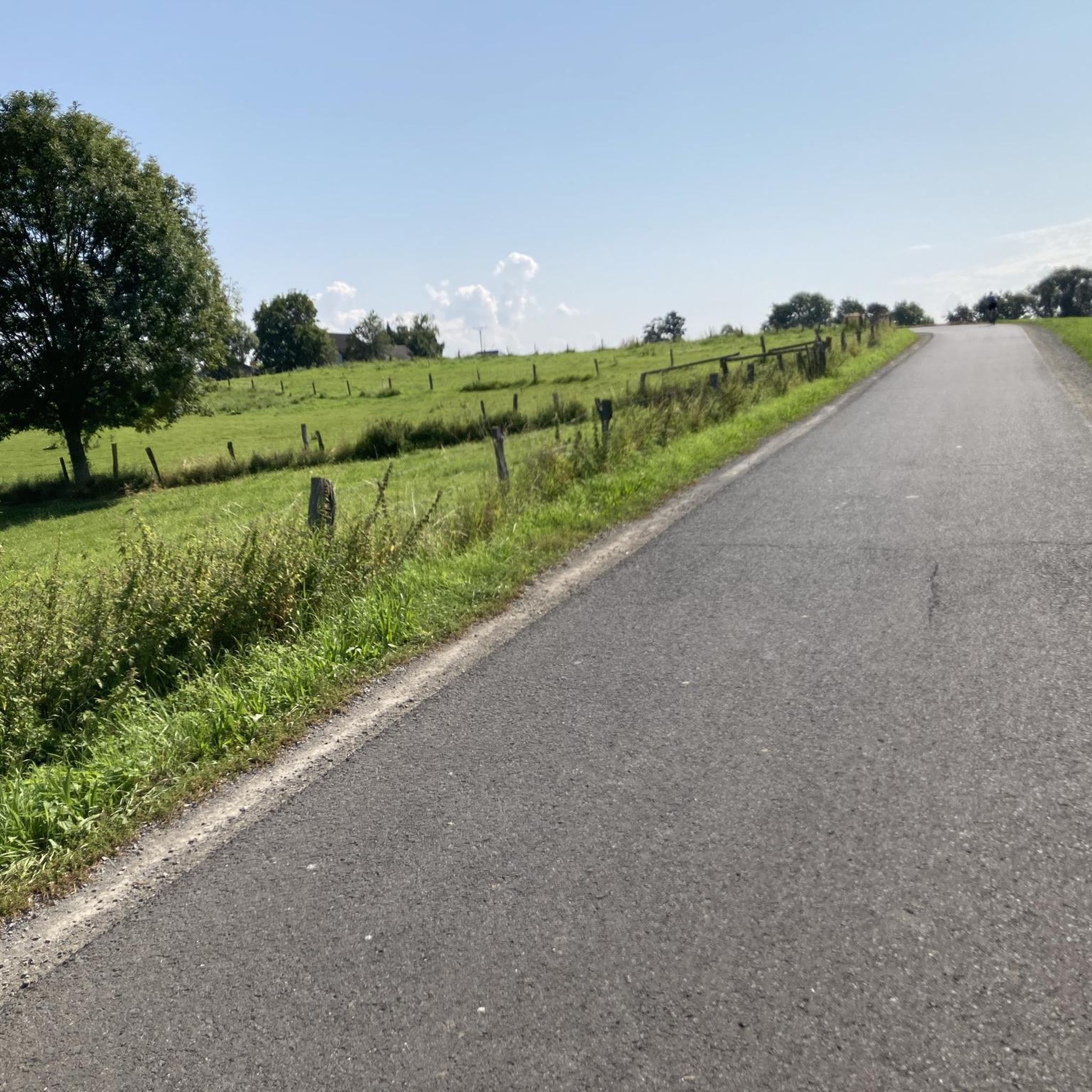
The road from the Förcher Kreisel to Ebersteinburg is still closed. You can get through the village or the construction site by bike. You should take advantage of it and ride up while it's still closed and there are no cars.
0
0


Frequently Asked Questions
How many no-traffic road cycling routes are available around Gravière De Munchhausen?
There are over 35 dedicated no-traffic road cycling routes around Gravière De Munchhausen, ranging from easy to moderate difficulty. This includes 17 easy routes and 18 moderate routes, offering a variety of options for different skill levels.
What kind of terrain can I expect on the no-traffic road cycling routes near Gravière De Munchhausen?
The routes in this region are generally flat or feature gentle ascents, making them suitable for road cycling. The broader area, including routes like the 'Route Bois de Munchhausen' mentioned in regional research, is known for its relatively flat profile, providing a pleasant experience for cyclists looking to avoid significant climbs.
Are there any family-friendly no-traffic road cycling routes?
Yes, Gravière De Munchhausen offers several easy, no-traffic road cycling routes perfect for families. An example is the Wintersdorf Rhine Bridge – Beinheim ⟷ Selz loop from Munchhausen, which is 25.75 km long with minimal elevation gain, providing a relaxed ride for all ages.
What can I see along the no-traffic road cycling routes around Gravière De Munchhausen?
The routes often pass through serene landscapes and natural areas. You can expect to see the Rhine and its flood plains, and potentially observe local wildlife like birds, butterflies, and dragonflies. The Ornithologische Station is another point of interest for nature lovers.
Are there any circular no-traffic road cycling routes?
Yes, many of the no-traffic road cycling routes around Gravière De Munchhausen are designed as loops. For instance, the Hermerswiller – Seebach Town Hall loop from Munchhausen offers a substantial 69 km ride, while the Route d'Eberbach loop from Schaffhouse-près-Seltz provides a shorter 24 km option.
What do other road cyclists enjoy most about cycling in Gravière De Munchhausen?
The area is highly rated by the komoot community, with an average score of 4.57 stars from over 310 ratings. Reviewers often praise the tranquil, no-traffic roads, the beautiful natural scenery, and the relatively flat terrain which makes for enjoyable and accessible road cycling.
Are there any longer, more challenging no-traffic road cycling routes?
For those seeking a longer ride, the Beinheim ⟷ Selz – Wintersdorf Rhine Bridge loop from Munchhausen is a moderate route spanning over 73 km with a total elevation gain of nearly 700 meters, offering a good endurance challenge on quiet roads.
Is there a route with newly paved asphalt for a smoother ride?
Yes, you can find routes that feature new asphalt. The Secondary route with new asphalt – Seebach Town Hall loop from Rastatter Rheinaue is a moderate 52 km route specifically highlighted for its fresh paving, ensuring a very smooth cycling experience.
What is the best time of year for no-traffic road cycling in Gravière De Munchhausen?
While specific seasonal data isn't provided, the region's natural beauty and tranquil environment suggest that spring, summer, and early autumn would be ideal. These seasons typically offer pleasant weather for enjoying the flat, no-traffic roads and observing the local flora and fauna.
Are there any specific viewpoints or natural features to look out for?
Beyond the general beauty of the Rhine flood plains, the area is a natural reserve known for its rich diversity of wildlife. Keep an eye out for various bird species, butterflies, and dragonflies, especially near the Gravière De Munchhausen itself and the Willersinn Gravel Pit.
Can I find cafes or restaurants near the no-traffic road cycling routes?
While specific establishments are not listed, the presence of towns and villages along the routes, such as Munchhausen, Beinheim, and Seebach, suggests that you will find opportunities for refreshments and meals. It's always a good idea to check local listings for current operating hours before your ride.
Most popular routes around Gravière De Munchhausen
Most popular attractions around Gravière De Munchhausen

Get inspired with the komoot mobile app


Explore more
Browse the best Road cycling routes in other regions.
