The best traffic-free bike rides around Ambt Montfort
4.5
(248)
2,679
riders
133
rides
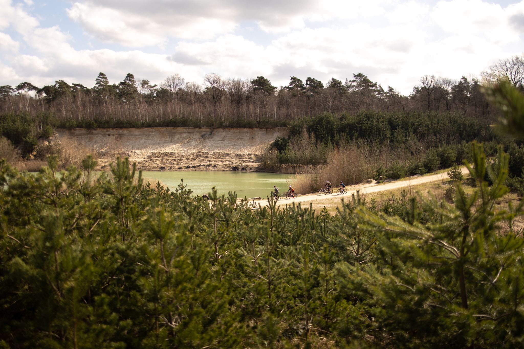
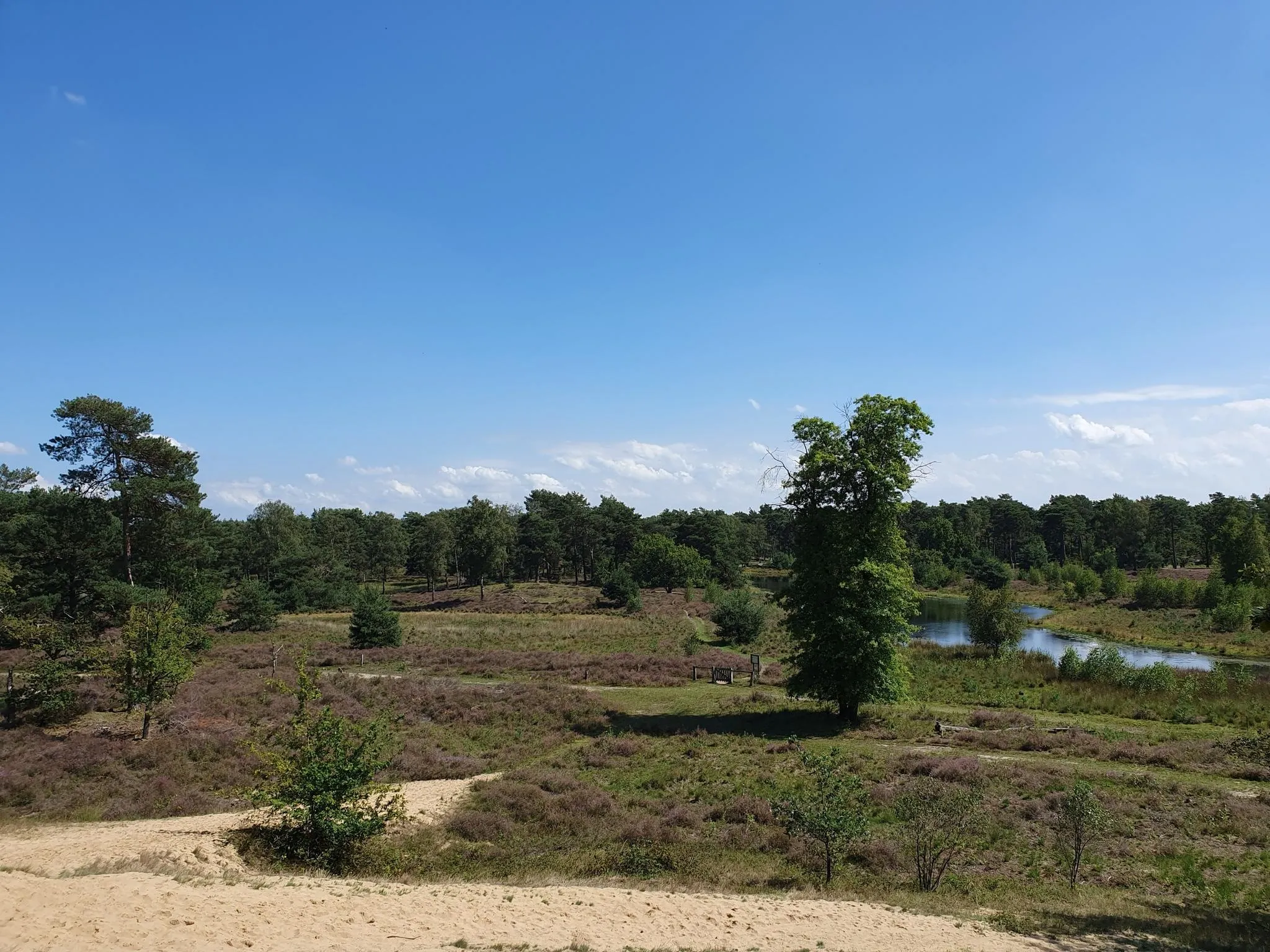
Gravel biking around Ambt Montfort, located in the Limburg province of the Netherlands, offers diverse landscapes for cycling. The region features varied terrain, including forests, sand dunes, and heathland, particularly within nature reserves like 't Sweeltje. Unlike flatter parts of the Netherlands, Ambt Montfort presents hills and rougher gravel roads, which can include rocky paths due to sand erosion. This dynamic environment provides a range of no traffic gravel bike trails.
Best no traffic gravel bike trails around Ambt Montfort
…Last updated: October 24, 2026
5.0
(5)
101
riders
53.0km
03:14
220m
220m
Hard gravel ride. Good fitness required. You may need to push your bike for some segments of this route.
4.8
(10)
51
riders
43.5km
02:49
80m
80m
Hard gravel ride. Good fitness required. You may need to push your bike for some segments of this route.

4.2
(9)
62
riders
60.5km
03:54
200m
200m
Moderate gravel ride. Good fitness required. Mostly paved surfaces.
4.0
(4)
45
riders
81.4km
04:45
310m
310m
Moderate gravel ride. Good fitness required. Mostly paved surfaces.
4.7
(10)
68
riders
42.8km
02:25
140m
140m
Moderate gravel ride. Good fitness required. Mostly paved surfaces.
Get access to more routes and recommendations from other explorers.
Already have an account?
Our route recommendations are based on thousands of hikes, rides, and runs completed by other people on komoot.
Start today with a free account
Your next adventure awaits.
Popular around Ambt Montfort


Other adventures around Ambt Montfort


Tips from the Community

The Rur is a river approximately 165 kilometers long that rises in the Belgian High Fens and flows into the Meuse near Roermond. In the Heinsberg district, it flows for about 23 kilometers through the landscape near Hückelhoven, Heinsberg, and Wassenberg. Its course is characterized by wide meadows, floodplains, old river branches, and numerous rows of trees. In the past, the Rur powered numerous water mills, but it was straightened and embanked in the 20th century to prevent flooding. Today, its banks offer valuable habitats for kingfishers, waterfowl, and numerous plant species. The popular RurUfer cycle path follows the river and opens up the charming Lower Rhine landscape.
2
0
The Rurbrücke between Karken and Steinkirchen crosses the Rur in the wide river landscape, characterized by meadows and fields west of Wassenberg. It connects the two villages and is a popular crossing for cyclists and hikers. In the immediate vicinity, the RurUfer-Radweg runs through the Schwalm-Nette Nature Park. The area was also once the scene of smuggling across the nearby Dutch border. Especially after both World Wars, coffee, cigarettes, and other goods were secretly transported here. Today, the quiet river landscape invites you to take walks and go on bike rides.
1
0
niederrhein-maas.de The Raky-Weiher is located near Dalheim-Rödgen in the Schwalm-Nette Nature Park, directly below the medieval motte-and-bailey castle "Alde Berg". It was named after the engineer and deep-drilling pioneer Anton Raky (1868–1943), who had a spacious manor house built here at the end of the 19th century. The so-called Raky-Schlösschen was demolished in 1972 due to fears of mining damage. The picturesque gatehouse and some artificially created ruins have been preserved. The pond, surrounded by forest, is part of the Helpensteiner Bachtal nature reserve.
1
0

Great cycle paths, very idyllic but also very narrow.
0
0

A path with a lot of loose sand. Not good for cycling but it's fine for walking
2
0

Was here again yesterday and recommend the area to you
2
0
A real highlight in the region.
0
0

Cool winding path. The path is recommended!!!
0
0
Frequently Asked Questions
How many no-traffic gravel bike trails are available in Ambt Montfort?
Ambt Montfort offers a wide selection of traffic-free gravel bike trails. You'll find over 120 routes designed for various skill levels, ensuring a peaceful ride away from cars. Among these, 34 are considered easy, 65 moderate, and 30 difficult, providing options for every type of rider.
What kind of terrain can I expect on the gravel bike trails in Ambt Montfort?
The gravel trails in Ambt Montfort offer a diverse and often challenging terrain, setting it apart from flatter regions of the Netherlands. You'll encounter a mix of wider unpaved paths and flowy singletracks, with technical sections, twists, and turns. The region features notable elevation changes, including longer climbs and descents, which can lead to rocky paths where sand has washed away. Wider tires (40mm+) are often recommended for comfort and control.
Are there any family-friendly no-traffic gravel bike routes in Ambt Montfort?
While many routes in Ambt Montfort can be challenging, there are 34 easy-rated trails that could be suitable for families looking for a less strenuous experience. These routes often traverse scenic nature reserves, offering a pleasant and safe environment away from traffic. Always check the route details for specific difficulty and terrain before heading out with children.
What are some scenic highlights or natural attractions I can see along the trails?
Ambt Montfort's gravel trails often lead through beautiful natural areas. You can explore the tranquil Elmpter Schwalmbruch Nature Reserve, known for its picturesque scenery. Many routes also pass by the De Meinweg National Park, offering diverse landscapes. For a unique experience, look for trails near the Beaver wetland in the Schaagbach Valley, where you might spot wildlife.
Are there any circular gravel bike routes available?
Yes, many of the gravel bike routes in Ambt Montfort are designed as circular loops, allowing you to start and end at the same point. For example, the The Meinweg Heath – Dalheim Mill loop from Posterholt is a challenging circular route, and the Singletrack Along the Railway – Flow trail in the forest loop from Vlodrop offers a moderate circular option.
What is the best season for gravel biking in Ambt Montfort?
The diverse terrain of Ambt Montfort makes it enjoyable across multiple seasons. Spring and autumn offer pleasant temperatures and beautiful foliage. Summer is also great, especially when riding through shaded forest sections. Be mindful that during wet periods, some unpaved sections can become muddy, and rocky paths might be more challenging. Always check local weather and trail conditions before your ride.
Where can I find parking for gravel biking trailheads?
Many trailheads in Ambt Montfort offer convenient parking. For instance, the 't Sweeltje parking lot is a popular starting point for routes that traverse the 't Sweeltje nature reserve. Specific parking information is usually available in the detailed route descriptions on komoot, helping you plan your start point effectively.
Can I combine my gravel bike ride with a visit to historical sites?
Absolutely! Ambt Montfort offers a rich historical context. You can combine your ride with a visit to the impressive ruins of Kasteel Montfort (Montfort Castle), which dates back to 1260. The castle features restored towers, cellars, and a visitor center, offering a cultural dimension to your outdoor adventure.
What do other gravel bikers say about the trails in Ambt Montfort?
The komoot community highly rates the gravel biking experience in Ambt Montfort, with an average score of 4.6 stars. Riders often praise the challenging and varied terrain, the peacefulness of the no-traffic routes, and the beautiful natural surroundings, especially within the nature reserves. The well-maintained trails and diverse landscapes are frequently highlighted as key attractions.
Are there any routes that pass by lakes or waterways?
Yes, the region includes several beautiful lakes and waterways. The Rur River – De Meinweg National Park loop from Roermond is one such route that offers views of the Rur River. You can also find highlights like the Maasplassen and Rolvennen, which are often accessible via nearby trails, providing scenic water features along your ride.
Are there options for more advanced gravel bikers looking for a challenge?
Definitely. Ambt Montfort is known for its challenging gravel routes, with 30 trails rated as difficult. These routes often feature significant elevation changes, technical singletrack sections, and rougher gravel paths that require good bike handling skills. The 'MTB Route Montfort' is a prime example, offering around 185 meters of elevation gain over 18.6 kilometers, with extensive unpaved and singletrack sections designed to test experienced riders.
Most popular routes around Ambt Montfort
Most popular attractions around Ambt Montfort

Get inspired with the komoot mobile app


Explore more
Browse the best Gravel rides in other regions.
