The best traffic-free bike rides around Lempäälä
4.0
(169)
4,712
riders
6
rides
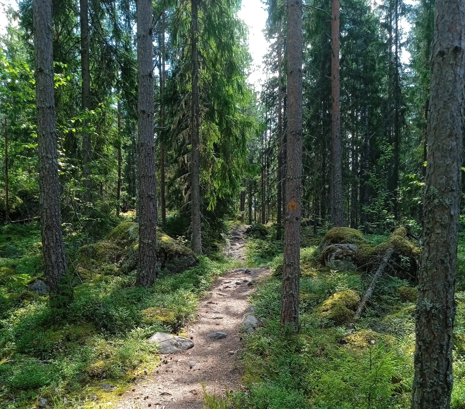
Road cycling around Lempäälä offers diverse no traffic road cycling routes through a landscape characterized by its extensive lake and forest scenery. The municipality is situated between two major lakes, Vanajavesi and Pyhäjärvi, with the Lempäälä Canal connecting them, providing serene waterfront views. Cyclists can expect varied terrain, including lakeside paths, quiet forest roads, and moderate hills, suitable for different skill levels. This combination of natural features creates an engaging backdrop for road cyclists.
Best no traffic road cycling routes…
Last updated: July 20, 2026
21
riders
33.7km
01:24
190m
190m
Easy road ride. Great for any fitness level. Mostly well-paved surfaces and easy to ride.
3.5
(2)
10
riders
Moderate road ride. Great for any fitness level. Some segments of this route may be unpaved and difficult to ride.

Sign up for free
4
riders
50.0km
02:04
260m
260m
Moderate road ride. Good fitness required. Some segments of this route may be unpaved and difficult to ride.
5
riders
5.06km
00:17
100m
100m
Easy road ride. Great for any fitness level. Mostly well-paved surfaces and easy to ride.
4
riders
18.6km
00:45
100m
100m
Easy road ride. Great for any fitness level. Mostly well-paved surfaces and easy to ride.
Our route recommendations are based on thousands of hikes, rides, and runs completed by other people on komoot.
Start today with a free account
Your next adventure awaits.
Login or Signup


Other adventures around Lempäälä

Tips from the Community

Skip the line if you only want tickets to go up; most people queue for drinks. A beautiful view from the tower for only €2.
0
0

Sightseeing spot with an old church, wooden tower, and a memorial for the Finnish Civil War of 1918. There's also a flea market next door.
0
0

riding on the highway suuuucks but at least you can connect through here without having to ride on it, a bit of everything with a bike path next to the highway in the north, then a very quiet side road, then a little bit of gravel road (ride via the highway junction if you prefer to stay on asphalt), a bike path tunnel across the highway and then a quiet side road with a bike path, also tunnels for crossing the highway at both ends
0
0


The 26 meter high red granite Pyynikki Observation Tower was built in 1929. From the platform above you can enjoy a fantastic view over Tampere and its surroundings. There is a cozy café on the ground floor where you can try the Finnish specialty "Munkki". The tower is open daily from 9 a.m. to 8 p.m. (until 9 p.m. in summer).
1
0
not much traffic, flat by the lakeside, tolerable asphalt (bike path onward to Toijala, okay in the outskirts, worse closer to town)
0
0
not too busy, winding and gently rolling, could use some new asphalt, no services en route
0
0
Frequently Asked Questions
How many no-traffic road cycling routes are available in Lempäälä?
There are currently 6 dedicated no-traffic road cycling routes around Lempäälä featured in this guide. These routes offer a mix of easy and moderate challenges, ensuring a pleasant ride away from vehicle traffic.
What kind of terrain can I expect on Lempäälä's no-traffic road cycling routes?
Lempäälä's routes often feature picturesque lakeside paths along Lake Pyhäjärvi and Lake Vanajavesi, as well as quiet forest roads. While some paths are flat and easy, others include moderate climbs, offering varied terrain for different fitness levels. You'll primarily find paved surfaces suitable for road cycling, with some segments potentially being well-maintained gravel.
Are there any easy, car-free road cycling routes suitable for beginners in Lempäälä?
Yes, Lempäälä offers several easy, car-free options. A great choice is the Lempäälä historic center – Café Siiri loop from Lempäälä, which is approximately 33.7 km long with gentle elevation changes. Another shorter, easy option is the Pyynikki Observation Tower loop from Tampere, at about 5.1 km.
What natural features or landmarks can I see along the no-traffic road cycling routes?
You'll encounter stunning lake and forest scenery, including views of Lake Pyhäjärvi and Lake Vanajavesi. The historic Lempäälä Canal and Kuokkalankoski Rapids are also prominent features. For cultural stops, consider routes that pass near landmarks like St. Birgitta's Church or the Hakkari Manor Area. Some routes also offer access to highlights like the Lakeside Path in Pispala.
Are there any circular no-traffic road cycling routes in Lempäälä?
Many of the no-traffic road cycling routes in Lempäälä are designed as loops, allowing you to start and end at the same point. For example, the Lempäälä historic center – Café Siiri loop from Lempäälä is a popular circular option, as is the Vehoniemi observation tower – Vehoniemi Automobile Museum loop from Kangasala.
What is the best time of year for no-traffic road cycling in Lempäälä?
The best time for road cycling in Lempäälä is typically from spring to autumn (May to September), when the weather is mild, and the natural scenery is at its most vibrant. During these months, you'll experience pleasant temperatures and fully accessible routes. Winter cycling is possible but requires appropriate gear and awareness of snow and ice conditions.
What do other road cyclists enjoy most about no-traffic road cycling in Lempäälä?
The komoot community highly rates the cycling experience in Lempäälä, with an average score of 4.3 stars. Reviewers often praise the serene lakeside views, the quiet forest roads, and the opportunity to explore the region's natural beauty away from traffic. The varied terrain and well-maintained paths are also frequently highlighted.
Are there any longer, more challenging no-traffic road cycling routes for experienced cyclists?
Yes, for those seeking a longer ride, the Sontulantie Lakeside Road – Kylmäkoski Rapids loop from Toijala offers a moderate challenge at approximately 50 km with significant elevation gain. Another moderate option is the Vehoniemi observation tower – Vehoniemi Automobile Museum loop from Kangasala, which is nearly 50 km long and features varied terrain.
Can I find places to rest or have a coffee along the no-traffic road cycling routes?
While specific amenities vary by route, Lempäälä's routes often pass through or near areas where you can find cafes or rest stops. The Lempäälä historic center – Café Siiri loop, for instance, suggests a stop at Café Siiri. Additionally, you might find campfire sites or shelters like Makkarajärvi Campfire Site or Ammejärvi Shelter along some paths, perfect for a break.
Is Lempäälä easily accessible by public transport for cyclists?
Lempäälä is well-connected within the Pirkanmaa region. While specific public transport options for carrying bikes should be checked with local providers, the municipality's proximity to major transport hubs like Tampere and its good road network suggest reasonable accessibility. Some routes may start from locations like Toijalan rautatieasema (Toijala railway station), which could offer public transport connections.
Are there any unique natural formations to look out for while cycling in Lempäälä?
Beyond the lakes and forests, Lempäälä is known for its 'Devil's fields' (pirunpellot), which are large stony areas formed by rocks and boulders. While these might be more for exploration on foot, they represent a unique geological feature of the region. The Lempäälä Canal and Kuokkalankoski Rapids also offer distinctive natural and historical elements to the landscape.
Most popular attractions around Lempäälä

Get inspired with the komoot mobile app


Explore more
Browse the best Road cycling routes in other regions.
