The best traffic-free bike rides around Ducey-Les-Chéris
4.6
(196)
3,982
riders
25
rides
No traffic touring cycling routes around Ducey-Les-Chéris are characterized by a network of greenways and dedicated cycle paths, nestled along the Sélune River and within the traditional Norman bocage landscapes. The region offers varied terrain, from flat sections along estuaries to gentle hills, providing accessible cycling experiences. Its strategic location serves as a hub for major routes like the Véloscénie and La Vélomaritime, connecting cyclists to Mont Saint-Michel Bay and beyond. Ducey-Les-Chéris is recognized for its commitment to natural settings…
Last updated: May 10, 2026
4.7
(123)
3,131
riders
Moderate bike ride. Good fitness required. Mostly paved surfaces. Suitable for all skill levels.
4.7
(9)
59
riders
40.1km
02:34
170m
170m
Moderate bike ride. Good fitness required. Mostly paved surfaces. Suitable for all skill levels.

Sign up for free
5.0
(1)
109
riders
Easy bike ride. Great for any fitness level. Mostly paved surfaces. Suitable for all skill levels.
4.4
(13)
121
riders
40.4km
02:35
240m
240m
Moderate bike ride. Good fitness required. Mostly paved surfaces. Suitable for all skill levels.
4.7
(3)
3
riders
11.5km
00:42
90m
90m
Easy bike ride. Great for any fitness level. Mostly paved surfaces. Suitable for all skill levels.
Get access to more routes and recommendations from other explorers.
Sign up for free
Already have an account?
Our route recommendations are based on thousands of hikes, rides, and runs completed by other people on komoot.
Start today with a free account
Your next adventure awaits.
Login or Signup


Other adventures around Ducey-Les-Chéris

Tips from the Community

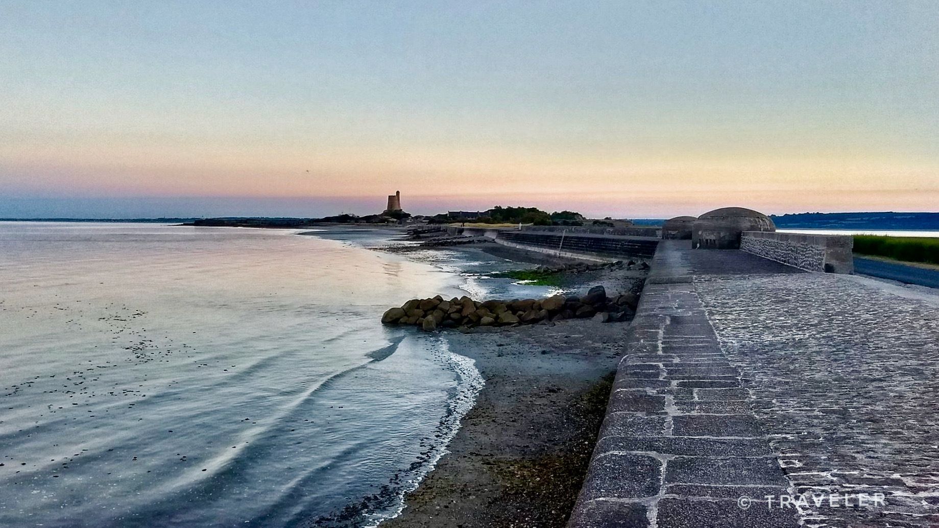
During very high tides, your wheels may be in the water.
0
0

La Roche Torin is a prominent vantage point in the Bay of Mont Saint-Michel. This spot offers a unique view of the bay and is a popular destination for hikers and photographers, especially during strong tides (coefficient over 100). The tidal coefficient is the most important indicator for assessing the dynamics of the bay. A coefficient over 100 indicates spectacular tide conditions and a natural spectacle. Here in the Bay of Mont Saint-Michel, the highest tides in Europe occur, with a tidal range of up to 15 meters between high and low tide. Tidal range Mont Saint-Michel: https://tides4fishing.com/fr/basse-normandie/le-mont-saint-michel#_tidal_coefficient
1
0

A beautiful picnic area with tables and benches among the trees on the banks of the Selen River. There are even restrooms. The area is very spacious.
1
0

Beautiful route but there are no water points for the cans! Otherwise it's magnificent
0
0
Magnificent landscape with its green pastures of salt meadows. Gradually approaching Mount Mich Mich
2
0


Beautiful view of the Klosterberg and an easy path to ride.
0
0
Frequently Asked Questions
How many no traffic touring cycling routes are available around Ducey-Les-Chéris?
There are over 25 dedicated no-traffic touring cycling routes around Ducey-Les-Chéris listed on komoot, catering to various skill levels. You'll find a good mix of easy, moderate, and challenging options to explore the region's greenways and scenic paths.
What kind of terrain can I expect on these traffic-free cycling routes?
The routes primarily utilize dedicated greenways and cycle paths, often built on former railway tracks, ensuring a smooth, traffic-free experience. You'll encounter flat sections along riverbanks and through salt marshes, as well as some gently rolling hills, particularly in the traditional Norman bocage landscapes. Some longer routes may include unpaved segments, adding to the touring adventure.
Are there any family-friendly no traffic cycling routes in Ducey-Les-Chéris?
Yes, Ducey-Les-Chéris is an excellent destination for family cycling due to its extensive network of greenways. Many routes are relatively flat and well-maintained, perfect for all ages. An example of an easy route is the Beautiful photo motif – Voie verte de la Véloscénie loop from Marcilly, which is just over 15 km long and offers a pleasant, traffic-free experience.
What are the best times of year to go touring cycling in Ducey-Les-Chéris?
The spring, summer, and early autumn months (April to October) are generally the best for touring cycling in Ducey-Les-Chéris. During these seasons, the weather is typically mild and pleasant, and the landscapes are vibrant. The region's 'Ville Fleurie' status means you'll enjoy abundant floral displays, especially in spring and summer.
Can I see Mont Saint-Michel from any of the no traffic cycling routes?
Absolutely! Many routes offer stunning views of Mont Saint-Michel, especially as you cycle through the bay area and salt meadows. The Pontaubault Bridge – View of Mont Saint-Michel loop from Ducey-les-Chéris is a moderate route that provides excellent vistas. You can also cycle across the causeway to Mont Saint-Michel during specific hours, though bicycle parking is restricted directly at the Mont itself.
Are there any circular no traffic touring cycling routes?
Yes, several routes are designed as loops, allowing you to start and end in the same location without retracing your steps. For instance, the Pointe de la Roche and marais de la Sélune — loop from Ducey is a moderate 40 km loop that takes you through diverse landscapes.
What historical landmarks or natural features can I explore along the routes?
Ducey-Les-Chéris and its surroundings are rich in history and natural beauty. Along your rides, you might encounter the picturesque Pontaubault Bridge, the majestic Montgommery Castle, or enjoy panoramic views from La Roche Torin. The routes also often follow the banks of the Sélune River, leading to the Sélune Estuary, offering glimpses of traditional Norman bocage landscapes.
Is Ducey-Les-Chéris well-connected to other major cycling routes?
Yes, Ducey-Les-Chéris is strategically located and integrated into major European cycling networks. It serves as an ideal stopover on the Véloscénie (Paris to Mont-Saint-Michel) and is part of La Vélomaritime / EuroVelo 4. This connectivity allows for longer touring adventures, linking to destinations like Mont-Saint-Michel and Saint-Hilaire-du-Harcouët via dedicated greenways. You can find more information on these connections at France Vélo Tourisme.
What do other touring cyclists enjoy most about cycling in Ducey-Les-Chéris?
The area is highly rated by the komoot community, with an average score of 4.6 out of 5 stars from over 200 reviews. Cyclists frequently praise the peaceful, traffic-free nature of the routes, the stunning views of Mont Saint-Michel, and the well-maintained greenways that make for a relaxing and enjoyable touring experience. The charming village atmosphere and historical landmarks are also often highlighted.
Are there options for longer, more challenging no traffic touring routes?
Yes, for experienced cyclists seeking a greater challenge, there are longer and more demanding routes. For example, the View of Mont Saint-Michel – beautiful new cycle path loop from Ducey-les-Chéris is a difficult route spanning nearly 87 km with significant elevation gain, offering an extensive exploration of the region's landscapes and views.
Where can I find parking for these cycling routes in Ducey-Les-Chéris?
As a 'Village Étape' and 'Station Verte', Ducey-Les-Chéris is well-equipped to welcome travelers. You'll find various parking options within the village, often near the start points of major greenways or close to amenities. Look for designated public parking areas which are usually clearly signposted and convenient for accessing the cycling network.
Are there cafes or places to stop for refreshments along the traffic-free routes?
While many routes traverse rural landscapes, Ducey-Les-Chéris itself offers a selection of cafes, restaurants, and shops where you can refuel. Some routes may pass through smaller villages with local establishments. It's always a good idea to carry snacks and water, especially on longer rides, and check the route details for specific points of interest or towns along the way.
Most popular routes around Ducey-Les-Chéris
Most popular attractions around Ducey-Les-Chéris

Get inspired with the komoot mobile app


Explore more
Browse the best Cycling routes in other regions.
