The best traffic-free bike rides around Tende
4.4
(13)
947
riders
2
rides
No traffic road cycling routes around Tende are situated in the Alpes-Maritimes department, within the Provence-Alpes-Côte d'Azur region, near the French-Italian border. The area is characterized by dramatic mountain landscapes, deep valleys, and significant elevation changes, offering challenging ascents for road cyclists. This region serves as a gateway to the Mercantour National Park, featuring rugged topography and high mountain passes.
Best no traffic road cycling routes around Tende
- The most popular no traffic road cycling route is Col de Turini – View of La Bollène-Vésubie loop from Belvédère, a 29.0 miles (46.6 km) difficult trail that takes 3 hours 10 minutes to complete, featuring significant elevation gain through mountain terrain.
- Another top favourite among local road cyclists is Lago della Rovina – Lake Piastra loop from San Giacomo, a difficult 22.5 miles (36.2 km) path. This route offers challenging climbs and scenic views of alpine lakes.
- Local road cyclists also love the Gordolasque Swim Hole – Rey Waterfall loop from Parking du Countet, a 16.1 miles (25.9 km) trail leading through the Gordolasque Valley, often completed in about 1 hour 51 minutes.
- Road cycling around Tende is defined by high mountain passes, deep valleys, and rugged topography within the Mercantour National Park. The network offers options for difficult and moderate ability levels.
- The routes in Tende are highly rated by the komoot community with an average score of 4.6 stars from over 20 reviews. More than 800 road cyclists have used komoot to explore Tende's varied terrain.
Last updated: May 8, 2026
5.0
(1)
91
riders
46.6km
03:10
1,580m
1,580m
Hard road ride. Very good fitness required. Mostly well-paved surfaces and easy to ride.
4.0
(1)
64
riders
36.2km
02:21
1,030m
1,030m
Hard road ride. Very good fitness required. Some segments of this route may be unpaved and difficult to ride.

Sign up for free
16
riders
21.5km
01:12
440m
440m
Moderate road ride. Good fitness required. Mostly well-paved surfaces and easy to ride.
Our route recommendations are based on thousands of hikes, rides, and runs completed by other people on komoot.
Start today with a free account
Your next adventure awaits.
Login or Signup
Popular around Tende

The Komoot Torino-Nice Rally
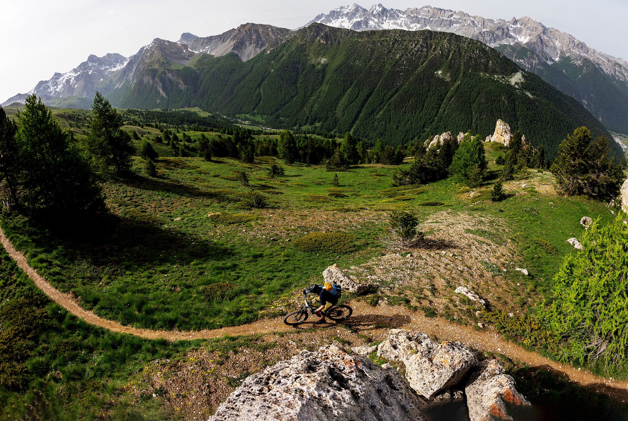
The STONE KING Route – adventure enduro from High Alps to the Med
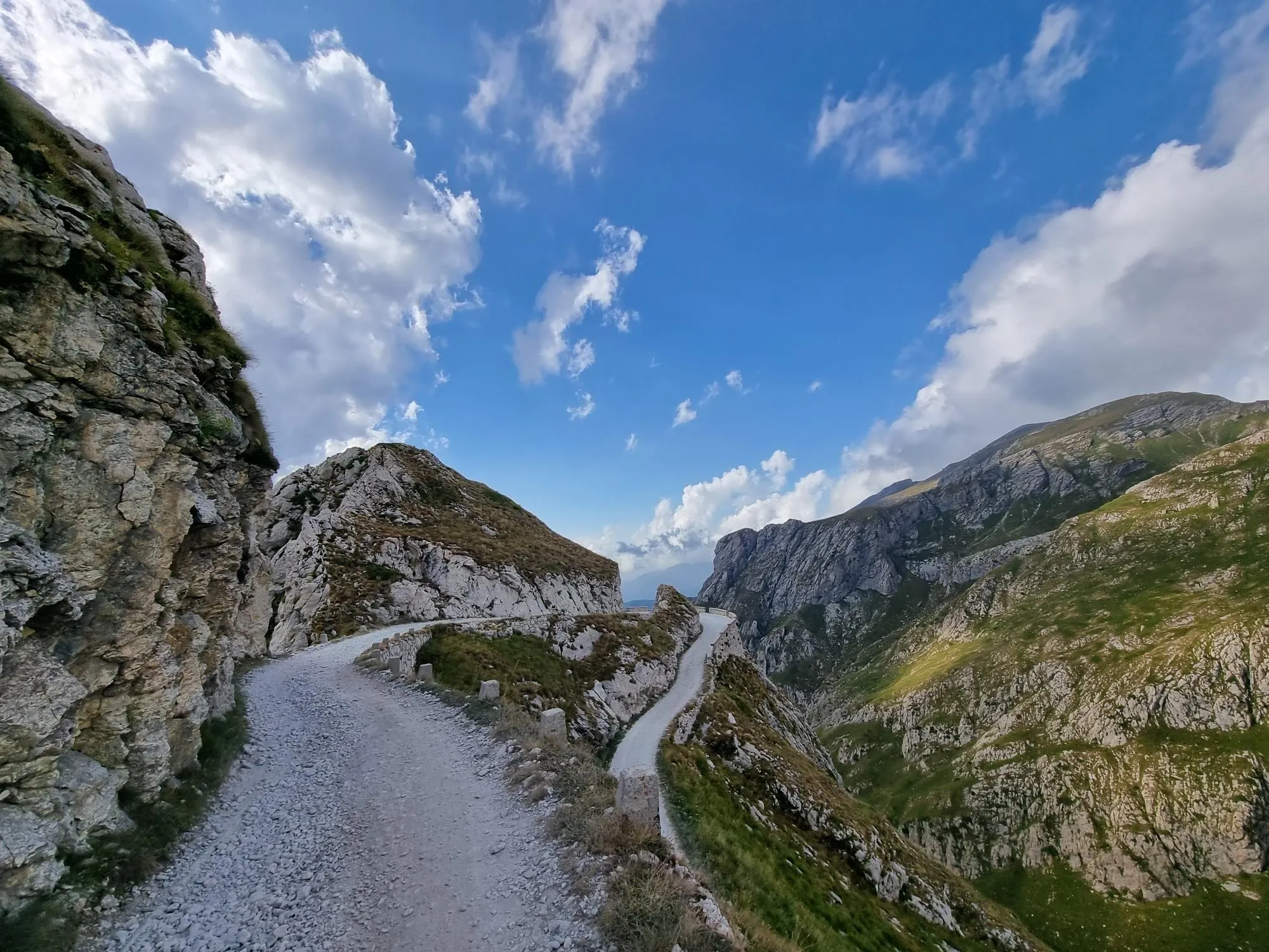
Hunting for white gold in the Mediterranean Alps – Alta Via del Sale
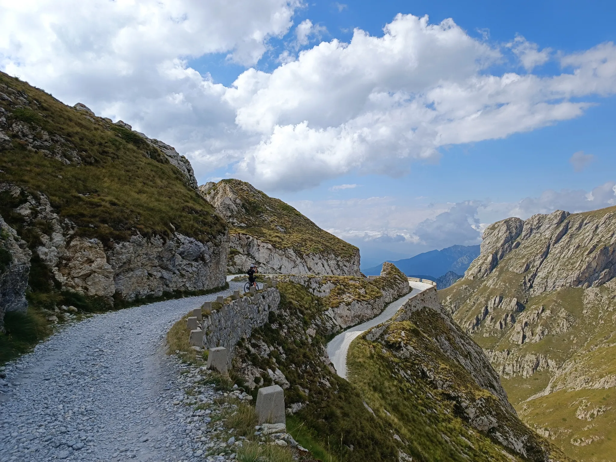
Gravel roads and serpentines – Mediterranean Alps Cycle Route

Crossing the Mercantour National Park – GR 52
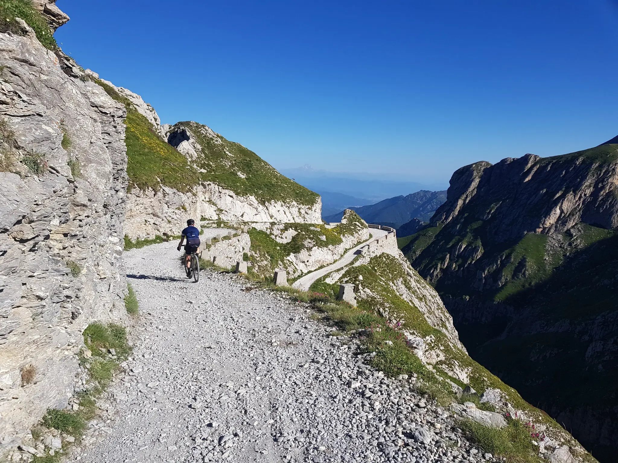
From the boot’s toe to the heel – the most beautiful cycling Tours in Italy
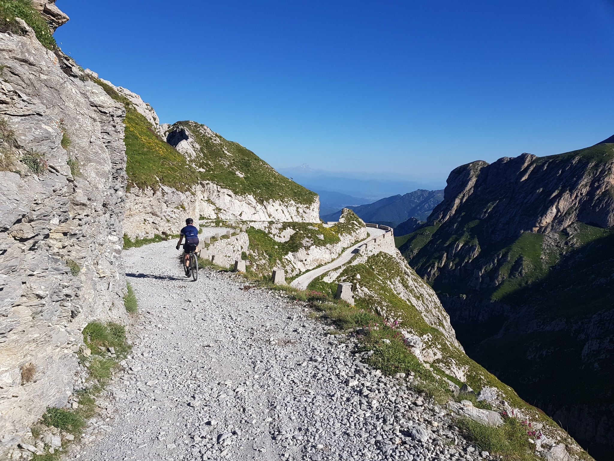
Mediterranean passes and gentle hills — cycling in Piedmont

Traffic-free bike rides around Tende

Traffic-free bike rides around Tende
Other adventures around Tende


Tips from the Community

The Col de Turini is a mountain pass located in the southern French Alps. It connects Lantosque, in the Vésubie Valley, to Sospel, in the Bévéra Valley. It also provides access to the Paillon Valley and the towns of Escarène and Lucéram. Rising to an altitude of 1,604 meters, it is located near the summit of the Authion Massif. The pass lies between the communes of Moulinet and La Bollène-Vésubie. A hamlet is located at the pass, where three main roads converge. A fourth road leads to Camp d'Argent, where a ski resort is located, and beyond to the summit of Authion (Pointe des Trois-Communes).
1
0
The Col de Turini is a mountain pass located in the southern French Alps. It connects Lantosque, in the Vésubie Valley, to Sospel, in the Bévéra Valley. It also provides access to the Paillon Valley and the towns of Escarène and Lucéram. Rising to an altitude of 1,604 meters, it is located near the summit of the Authion Massif. The pass lies between the communes of Moulinet and La Bollène-Vésubie. A hamlet is located at the pass, where three main roads converge. A fourth road leads to Camp d'Argent, where a ski resort is located, and beyond to the summit of Authion (Pointe des Trois-Communes).
0
0

You can get there starting from Valdieri or Entracque
0
0

Photo taken from the equipped area of the lake of the Rovine. Paid in summer for motorcycles, cars and campers. You also pay to use the wooden tables and umbrellas. Affordable prices, I would say there is no need to complain.
0
0

Spectacular balcony section of the road between the Col de Turini and Bollène-Vésubie.
0
0
Spectacular view of the bends of the Turini Pass road.
0
0

Taking the steepest slope, this steady climb hovers around 7% throughout its fifteen kilometers. Eighteen hairpin bends make the climb even more epic, especially when viewed from above.
1
0

From the dam of the plate to the Chistafort square and the lake of the ruin
0
0
Frequently Asked Questions
How many no-traffic road cycling routes are available around Tende?
There are currently 4 dedicated no-traffic road cycling routes around Tende featured in this guide. These routes offer a range of challenges, from moderate to difficult, ensuring a quiet and scenic experience away from vehicle traffic.
What kind of terrain can I expect on no-traffic road cycling routes in the Tende region?
The Tende region, nestled in the Alpes-Maritimes, is known for its dramatic landscapes and challenging ascents. You can expect routes with significant elevation gains, often featuring iconic mountain passes and numerous hairpins, especially on the Italian side of the Col de Tende. While this guide focuses on paved, no-traffic routes, the broader area is characterized by rugged topography and high mountain passes.
Are there any family-friendly no-traffic road cycling routes in Tende?
While the routes listed in this guide are generally moderate to difficult, with considerable elevation, the Lake Piastra – Lake della Piastra loop from San Giacomo is categorized as moderate and is the least demanding in terms of elevation gain (439m up). For families seeking easier, traffic-free options, it's advisable to look for specific, shorter sections or dedicated cycle paths within the valleys, though these may not always be purely road cycling terrain.
What are some scenic highlights or viewpoints along these no-traffic routes?
The routes in the Tende region offer breathtaking views of the Mercantour National Park and surrounding Alps. For example, the Col de Turini – View of La Bollène-Vésubie loop from Belvédère provides stunning vistas. You can also find numerous viewpoints like Marta's Balcony, offering panoramic scenes of the rugged terrain and valleys.
Can I find circular no-traffic road cycling routes in Tende?
Yes, all the no-traffic road cycling routes featured in this guide are designed as loops. This includes the challenging Col de Turini – View of La Bollène-Vésubie loop from Belvédère and the scenic Lago della Rovina – Lake Piastra loop from San Giacomo, allowing you to start and finish at the same point.
Are there any waterfalls or natural swimming spots near the no-traffic cycling routes?
Yes, the region's rugged terrain includes various waterfalls and canyons. The Gordolasque Swim Hole – Rey Waterfall loop from Parking du Countet specifically highlights a waterfall and a swim hole, offering a refreshing stop during your ride. The Roya Valley itself is known for opportunities for canyoning and rafting.
What is the best time of year for no-traffic road cycling in Tende?
The best time for road cycling in Tende is typically from late spring to early autumn (May to October), when mountain passes are generally clear of snow and weather conditions are most favorable. Some higher passes, like the Col de Tende, may have sections closed due to snow earlier or later in the season, so always check local conditions before planning your ride.
What do other road cyclists enjoy most about the no-traffic routes in Tende?
The no-traffic road cycling routes around Tende are highly rated by the komoot community, with an average score of 4.62 stars. Cyclists often praise the dramatic landscapes, the challenging yet rewarding ascents, and the tranquility of riding away from vehicle traffic, especially on routes that traverse iconic mountain passes and offer stunning views.
Are there any huts or mountain refuges accessible from these routes?
While the routes themselves focus on cycling, the Tende area is rich with mountain huts and refuges that can be explored as nearby attractions. Highlights include Chalet Le Marmotte and Rifugio Don Barbera, which offer opportunities for rest or overnight stays in the surrounding mountains.
What are the starting points for these no-traffic road cycling routes?
The routes typically start from accessible points within the region. For instance, the Lago della Rovina – Lake Piastra loop and the Lake Piastra – Lake della Piastra loop both begin from San Giacomo. The Gordolasque Swim Hole – Rey Waterfall loop starts from Parking du Countet, and the Col de Turini – View of La Bollène-Vésubie loop starts from Belvédère. These locations often provide parking facilities for cyclists.
Are there any historical sites or landmarks to see along the no-traffic cycling routes?
The Tende region is steeped in history. While cycling, you'll be in an area that has seen significant historical events, including the Col de Tende's role in the Tour de France and its strategic importance. The area around the Col de Tende also features six historical forts, such as Fort Central, which can be explored on foot. Additionally, the nearby Vallée des Merveilles holds exceptional prehistoric rock engravings, offering a glimpse into ancient history.
Most popular attractions around Tende

Get inspired with the komoot mobile app


Explore more
Browse the best Road cycling routes in other regions.
