The best traffic-free bike rides around Vaucelles-Et-Beffecourt
4.3
(6)
61
riders
5
rides
Gravel biking around Vaucelles-Et-Beffecourt offers routes through a rural landscape characterized by woodlands, streams, and varied elevations. The terrain includes gentle to moderate inclines, with elevations ranging from 58 to 168 meters, providing a diverse gravel biking experience. The area is part of the Seine-Normandie basin, featuring riparian landscapes and scenic water features along routes. Many routes traverse forested areas and include open sections with viewpoints, suitable for no traffic gravel bike trails.
Best no traffic gravel bike trails around…
Last updated: May 24, 2026
4.0
(2)
22
riders
37.9km
02:01
210m
210m
Moderate gravel ride. Good fitness required. Mostly paved surfaces. Suitable for all skill levels.
5.0
(2)
11
riders
15.2km
00:52
100m
100m
Easy gravel ride. Great for any fitness level. Mostly paved surfaces. Suitable for all skill levels.

Sign up for free
7
riders
54.7km
03:46
640m
640m
Hard gravel ride. Very good fitness required. Mostly paved surfaces. Suitable for all skill levels.
5.0
(1)
6
riders
22.9km
01:30
290m
290m
Moderate gravel ride. Good fitness required. Mostly paved surfaces. Suitable for all skill levels.
6
riders
Easy gravel ride. Great for any fitness level. Mostly paved surfaces. Suitable for all skill levels.
Our route recommendations are based on thousands of hikes, rides, and runs completed by other people on komoot.
Start today with a free account
Your next adventure awaits.
Login or Signup
Popular around Vaucelles-Et-Beffecourt
Tips from the Community

A small bridge joining the 2 sections lake and gravel track running behind
0
0
Entrance to Centre Parcs at Lac d'Ailette
0
0

a nice picnic area that is also well maintained - it had mown grass.
0
0


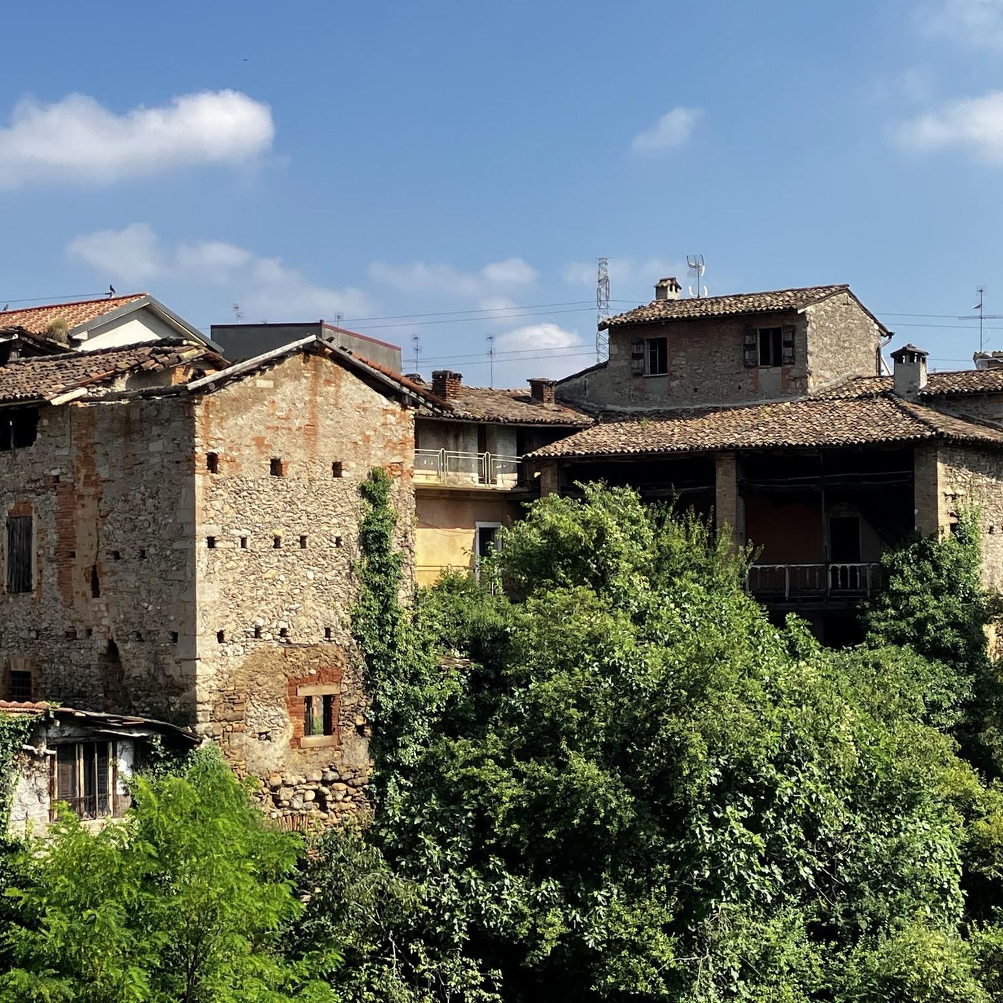
A remarkable remnant of what was once a large and important abbey. Caesar, Napoleon and German troops are said to have passed through this area during the First World War.
3
0

Old bridge in ruins
0
0

This abbey, which was founded in 1134 by St. Bernard, was severely damaged in a bombardment in 1917. The best preserved buildings are the pantry, the refectory of the lay brothers, the chapter house and the monks' hall. The foundations of the abbey church and the inn are still visible. Next to the garden with medicinal plants there is an exhibition space. Surrounding it is the monastic forest of Vauvelair, which covers 1000 hectares.
11
0
Frequently Asked Questions
How many no-traffic gravel bike trails are available around Vaucelles-Et-Beffecourt?
There are currently 5 dedicated no-traffic gravel bike trails listed around Vaucelles-Et-Beffecourt, offering a range of experiences for different skill levels. These routes are specifically curated to keep you away from vehicular traffic, allowing for a peaceful ride.
What kind of terrain can I expect on these gravel bike trails?
The terrain around Vaucelles-Et-Beffecourt is characterized by a mix of woodlands, streams, and varied elevations, ranging from 58 to 168 meters. You'll find routes with gentle to moderate inclines, some incorporating 'steep paths' that add a challenge. Many itineraries traverse forested areas and include open sections offering superb viewpoints, often featuring both paved and unpaved surfaces.
Are there any family-friendly no-traffic gravel routes?
Yes, there are options suitable for families. The 'Lac de l'Ailette – View of Lake Ailette loop from Chamouille' is an easy route, covering 9.35 km with minimal elevation gain, making it a great choice for a relaxed family outing away from traffic. Another easy option is the 'Lake Monampteuil – Cycleway - Gravel Section loop from Pargny-et-Filain', which is 23.67 km long and also features gentle inclines.
What are some scenic highlights or attractions I can see along the routes?
Many routes offer views of natural features like Lake Ailette and the surrounding woodlands. While riding, you might encounter historical sites such as Vauclair Abbey. For specific landmarks, consider exploring the broader area where you can find attractions like Notre-Dame Cathedral or the Laon Old Town — Murals and Fortifications, though these might require a slight detour from the immediate gravel trails.
Are there any circular gravel bike routes available?
Yes, all the listed no-traffic gravel routes around Vaucelles-Et-Beffecourt are circular. For example, you can enjoy the 'View of Lake Ailette – Vauclair Abbey loop from Pargny-et-Filain' which is a moderate 37.9 km loop, or the shorter 'View of Lake Ailette – Vauclair Abbey loop from Chamouille' at 15.25 km, which is an easy option.
Where can I park my car to access these gravel trails?
Many routes start from villages like Pargny-et-Filain or Chamouille, which typically offer public parking options. For routes around Lake Ailette, you'll often find designated parking areas near the lake itself, providing convenient access to the trailheads.
What is the best time of year to go gravel biking in this region?
The region's natural beauty, with its woods and streams, is enjoyable across multiple seasons. Spring and autumn generally offer pleasant temperatures and vibrant scenery, making them ideal. Summer can also be great, especially for rides through forested areas that provide shade. Always check local weather conditions before heading out.
Are dogs allowed on these no-traffic gravel bike trails?
While specific regulations for each trail can vary, many natural areas and public paths in France are dog-friendly, especially if dogs are kept on a leash. It's always best to check local signage or specific route descriptions for any restrictions, particularly in protected natural zones or near private property. Generally, the quiet, rural nature of these trails makes them suitable for cycling with a well-behaved, leashed dog.
Are there any challenging no-traffic gravel routes for experienced riders?
For experienced riders seeking a challenge, the 'Vauclair Abbey – View of Lake Ailette loop from Chamouille' offers a moderate difficulty level, spanning 22.88 km with a significant elevation gain of 290 meters. Another moderate option is the 'View of Lake Ailette – Vauclair Abbey loop from Pargny-et-Filain', which is longer at 37.91 km and features 211 meters of ascent.
What do other gravel bikers enjoy most about the trails in Vaucelles-Et-Beffecourt?
The area is highly rated by the komoot community, with an average score of 4.25 stars. Reviewers often praise the tranquility of the routes, the beautiful views of Lake Ailette, and the opportunity to explore the region's natural and historical sites away from traffic. The varied terrain, combining paved and unpaved sections through forests and open landscapes, is also frequently highlighted as a positive aspect.
Can I access these gravel trails using public transport?
Vaucelles-Et-Beffecourt is a tranquil rural commune, and direct public transport links to specific trailheads might be limited. While some regional bus services operate in the Aisne department, planning your trip with a car is generally recommended for the most convenient access to the starting points of these gravel bike routes. Check local transport schedules for the nearest towns like Laon for potential connections.
Most popular routes around Vaucelles-Et-Beffecourt
Most popular attractions around Vaucelles-Et-Beffecourt

Get inspired with the komoot mobile app


Explore more
Browse the best Gravel rides in other regions.
