The best walks and hikes around Mayrhof
4.4
(240)
1,236
hikers
220
hikes
Hiking around Mayrhof offers access to diverse alpine landscapes within the Zillertal Valley. The region is characterized by steep rock faces, glaciers, and peaks that often exceed 3,000 meters, alongside lush forests and alpine meadows. Numerous valleys like Zillergrund and Stillupgrund contribute to a varied terrain, providing a network of trails for different abilities. This area features a mix of high alpine environments and lower-elevation paths.
Best hiking trails in Mayrhof
- The most popular hiking route is Hoher Schachen loop…
Last updated: October 8, 2026
4.8
(6)
17
hikers
4.01km
01:08
80m
80m
Easy hike. Great for any fitness level. Easily-accessible paths. Suitable for all skill levels.
4.7
(3)
12
hikers
16.3km
04:30
290m
280m
Moderate hike. Good fitness required. Easily-accessible paths. Suitable for all skill levels.

7
hikers
4.85km
01:21
100m
100m
Easy hike. Great for any fitness level. Easily-accessible paths. Suitable for all skill levels.
5.0
(2)
9
hikers
7.59km
02:06
130m
130m
Moderate hike. Good fitness required. Easily-accessible paths. Suitable for all skill levels.
5
hikers
3.21km
00:54
60m
60m
Easy hike. Great for any fitness level. Easily-accessible paths. Suitable for all skill levels.
Get access to more routes and recommendations from other explorers.
Already have an account?
Our route recommendations are based on thousands of hikes, rides, and runs completed by other people on komoot.
Start today with a free account
Your next adventure awaits.
Tips from the Community

The parish church of St. Margareta is among the oldest and most significant buildings in Eggerding. A church already existed here many centuries ago; the current late Gothic parish church was built towards the end of the 15th century and still shapes the townscape today. The church, dedicated to St. Margareta, is a listed building and was last comprehensively renovated in 2021.
7
0
The Maihof is a typical Innviertel farm, nestled in the gentle hilly landscape around Lambrechten. The traditional farmstead and the surrounding fields convey an authentic impression of the region's agriculturally shaped cultural landscape.
5
0
This shady resting spot is the ideal place for a short break along the tour. Under the protective trees, it is pleasant to linger even on warm days. The quiet surroundings and relaxed atmosphere invite you to take a breath, enjoy nature, and gather strength for the next kilometers. 🌳🪑
6
0
The Bergerhof pond is an idyllic resting place amidst the quiet hilly landscape of the Innviertel. The body of water, the surrounding meadows, and the natural atmosphere make this spot a pleasant stopover along the tour. A seating area invites you to rest your legs, enjoy nature, and let the peaceful mood sink in.
5
0
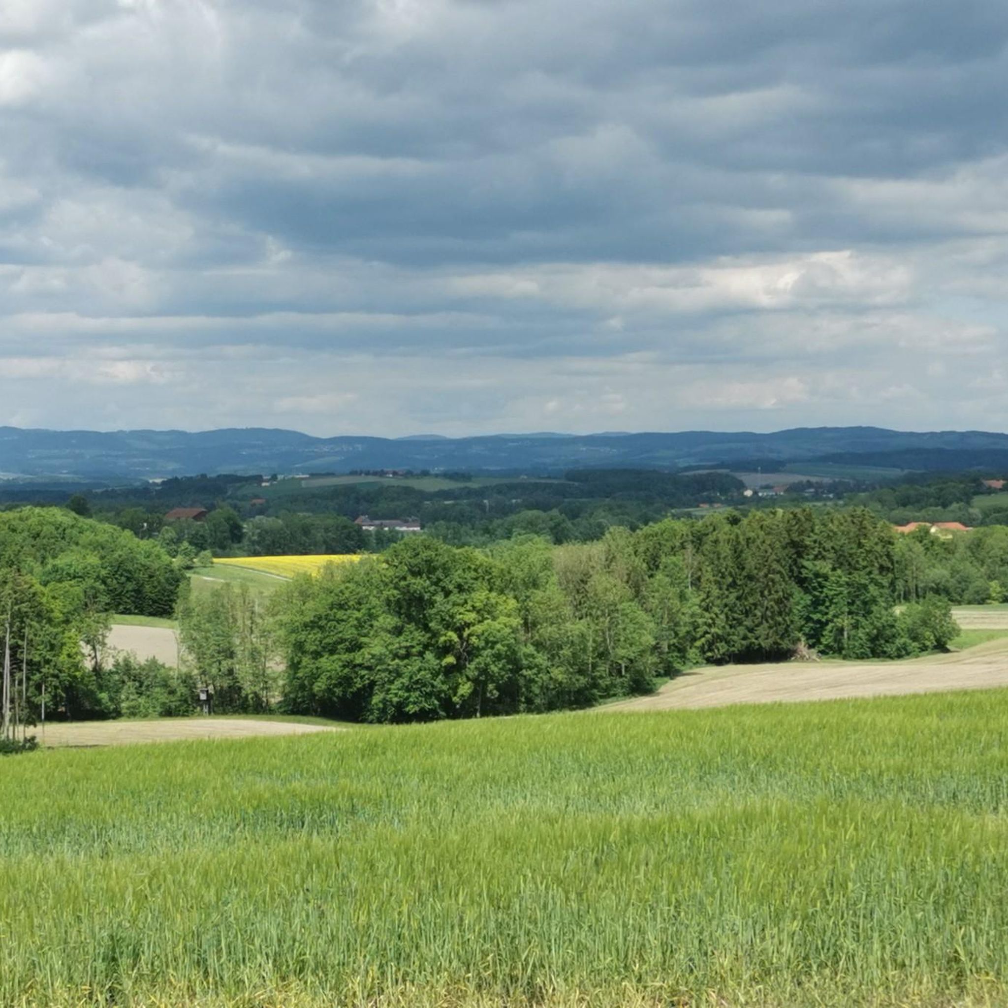
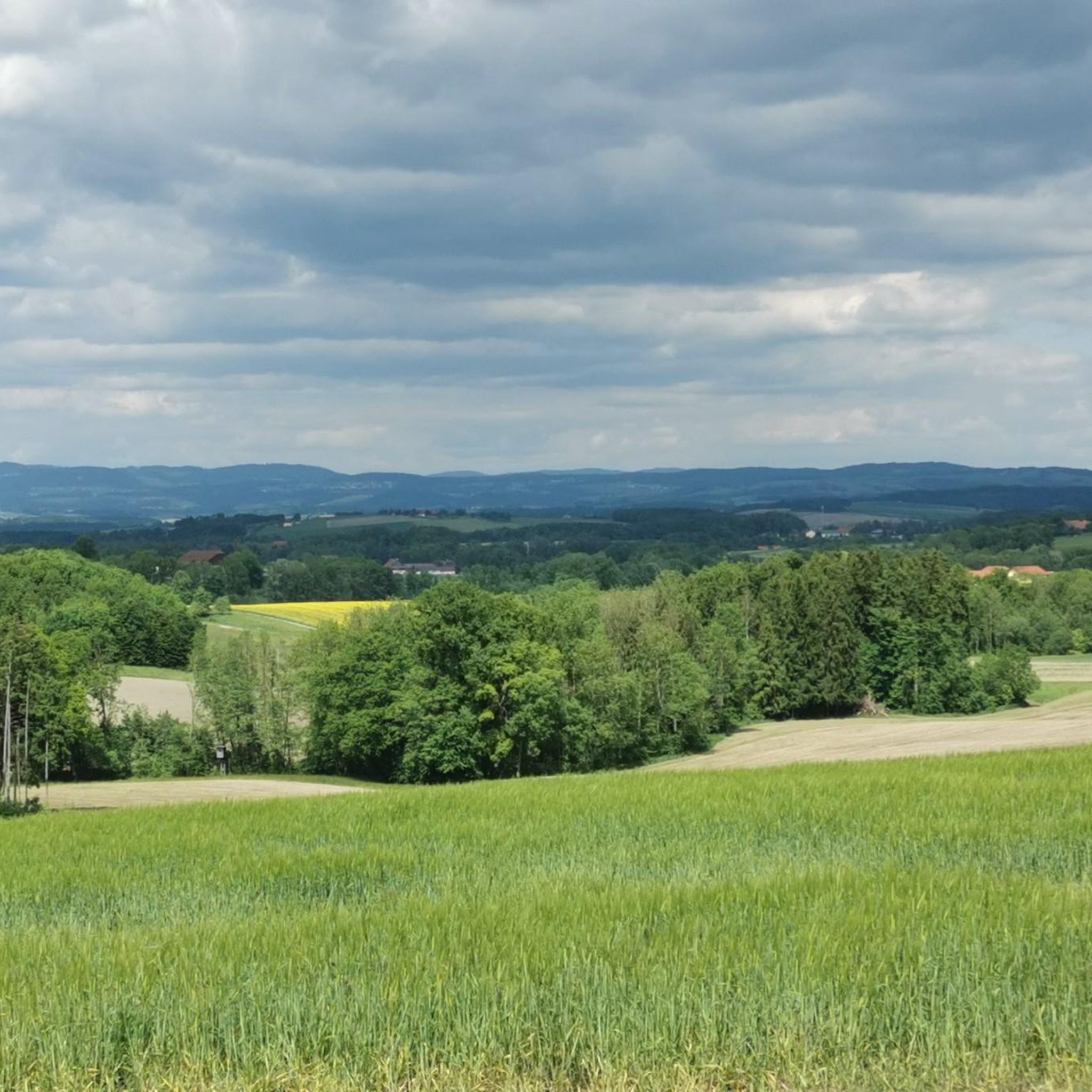
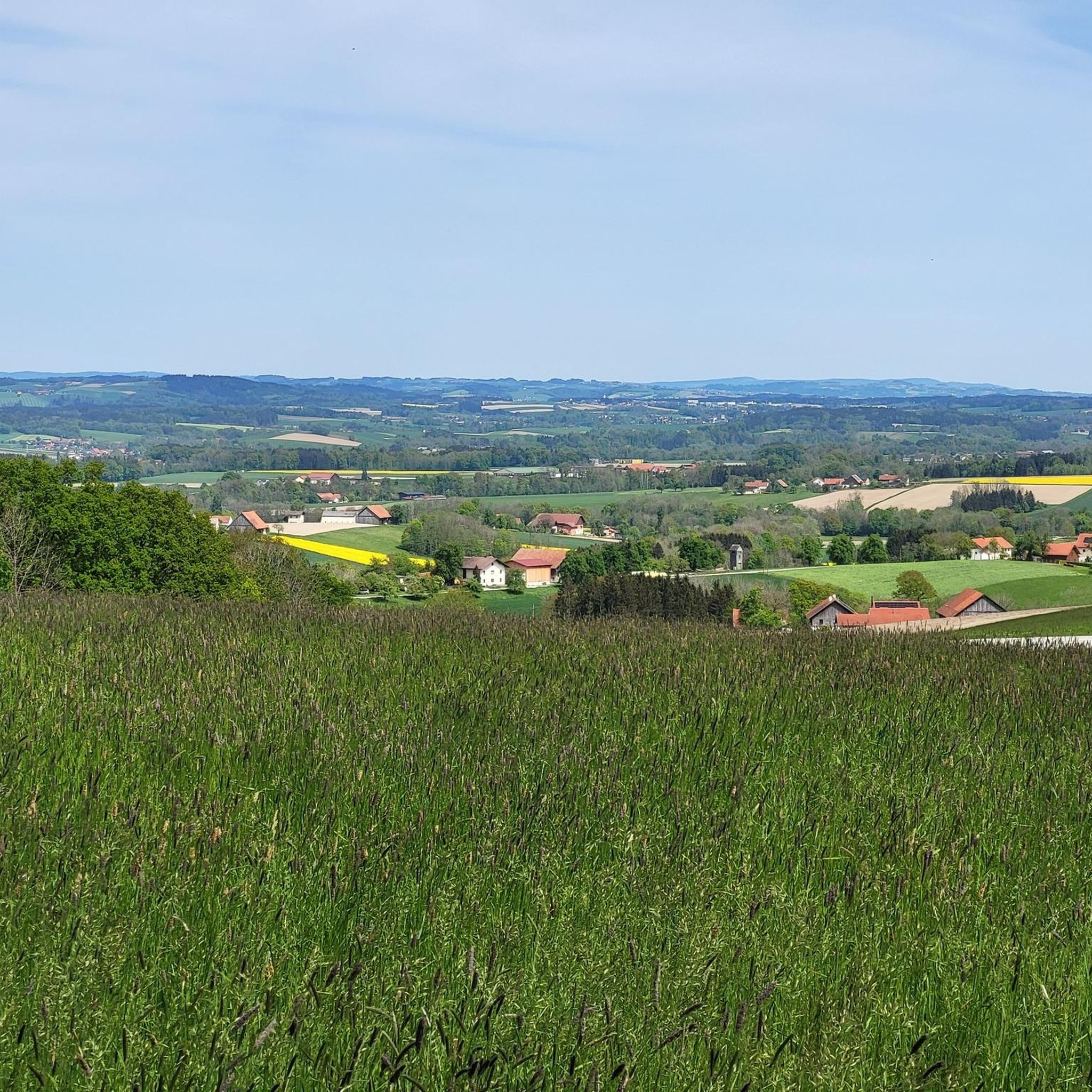
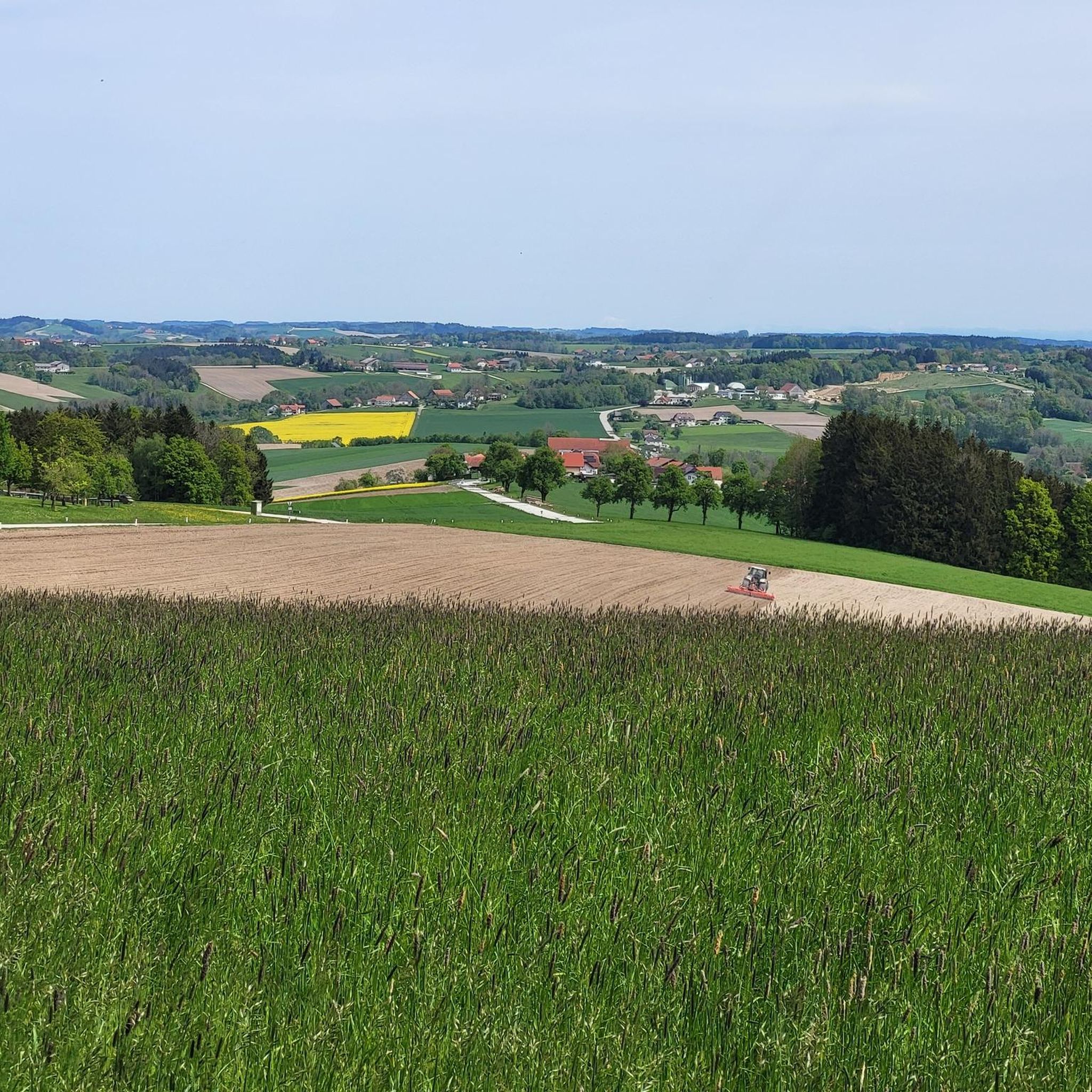
From here, the view sweeps over fields, meadows, and gentle hills that characterize the region. An ideal spot for a short break to soak in the tranquility of nature and gather new energy for the rest of the journey.
5
0
A practical landmark for checking the planned tour or gathering inspiration for further discoveries in the region.
6
0
The Schnatterhof in Lambrechten is a family-run Innviertler farm that combines traditional agriculture with hospitality and regional cuisine. The farm is particularly known for its pasture geese and the cozy "Gansl Stubm", where specialties from its own production and from the region are offered. Surrounded by meadows, fields, and rolling hills, the farm provides an authentic impression of rural life in the Innviertel.
7
0
The Kapellenbildstock was erected in 1991 and is a testament to regional faith and tradition culture, offering hikers and cyclists a contemplative place for a short break.
5
0
Frequently Asked Questions
How many hiking trails are there in Mayrhofen?
Mayrhofen offers an extensive network of over 200 hiking routes. These trails cater to all abilities, from leisurely valley walks to more challenging high-alpine expeditions within the majestic Zillertal Alps.
What is the best time of year for hiking in Mayrhofen?
Mayrhofen is a year-round outdoor sports hub. While summer is ideal for exploring the high-alpine trails and lush meadows, the region also offers opportunities for winter hiking and snowshoeing, transforming into a popular ski resort during colder months.
Are there easy, family-friendly hiking options in Mayrhofen?
Yes, Mayrhofen has many easy and family-friendly trails. The Ahorn Plateau and Penken Mountain, accessible via cable car, offer gentle paths with panoramic views. For a pleasant, short walk, consider the Hoher Schachen loop from Mayrhof, which is 4.0 km long with minimal elevation gain.
Can I find challenging or advanced hiking routes in the Mayrhofen area?
Absolutely. The Zillertal Alps provide numerous demanding routes for experienced hikers. The View from Hoher Schachen – View of Lambrechten Village loop from Eggerding is a moderate 16.3 km path with over 285 meters of elevation gain, offering varied terrain. For multi-day adventures, the challenging Berliner Höhenweg (Berlin High Trail) is a renowned hut-to-hut trek with unsurpassable glacier and peak views.
Are there any circular hiking routes in Mayrhofen?
Yes, many trails in Mayrhofen are designed as circular routes, allowing you to start and end at the same point. The Schnatterhof – View of Lambrechten Village loop from Lambrechten is a popular 4.9 km circular trail through rural landscapes, typically completed in about 1 hour 21 minutes.
What kind of scenic views can I expect on hikes around Mayrhofen?
Mayrhofen is renowned for its diverse and spectacular scenery. You'll encounter towering peaks, lush alpine meadows, steep rock faces, and glaciers in the Zillertal Alps. Picturesque valleys like Stilluptal offer turquoise lakes and pristine alpine meadows, while routes around the Schlegeis Reservoir provide breathtaking vistas.
Are there mountain huts along the hiking trails in Mayrhofen?
Yes, Mayrhofen is well-equipped with numerous mountain huts that provide refreshments and accommodation. Notable huts include the Olpererhütte, Berliner Hütte, and Plauener Hütte, which are often integral parts of popular hiking routes and offer stunning views.
What attractions or landmarks can I see near the hiking trails?
Beyond the natural beauty, you can explore several points of interest. Consider visiting Reichersberg Abbey or walking the Inn Cycle Path. For nature lovers, the Boardwalk Through the Reichersberg Wetlands offers a unique experience, and the region also features scenic reservoirs like Pram Reservoir.
How can I reach trailheads in Mayrhofen using public transport?
Mayrhofen has good public transport connections. Buses offer convenient transportation from the village center to various trailheads and reservoirs, making it easy to access starting points for your hikes without a car. Cable cars like the Ahornbahn and Penkenbahn also provide easy access to higher elevation trails.
What do other hikers enjoy most about hiking in Mayrhofen?
The hiking trails in Mayrhofen are highly rated by the komoot community, with an average score of 4.5 stars from over 200 reviews. Hikers often praise the diverse alpine landscapes, the well-maintained trail network, and the stunning panoramic views of the Zillertal Alps.
Are there any waterfalls to see on hikes in Mayrhofen?
Yes, Mayrhofen's diverse landscape includes impressive waterfalls. Hikers can encounter scenic cascades like the Laimach Waterfall and Talbach Waterfall along various trails, often integrated into popular routes that also feature alpine scenery and reservoirs.
Most popular attractions around Mayrhof

Get inspired with the komoot mobile app


Explore more
Browse the best Hikes in other regions.
