The best traffic-free bike rides around Saint-Victor-Montvianeix
4.2
(111)
4,287
riders
18
rides
No traffic road cycling routes around Saint-Victor-Montvianeix are situated within France's Puy-de-Dôme department, offering a diverse topography for cyclists. The region features altitudes ranging from 319m to 1224m, creating varied terrain. It is characterized by green and mountainous landscapes, including the Livradois-Forez Regional Natural Park, which provides a setting for cycling with rolling hills and forests. Volcanic features like Puy de Montoncel and river valleys further define the area's physical composition.
Best no traffic road cycling routes around Saint-Victor-Montvianeix
- The most popular no traffic road cycling route is Les Monts de la Madeleine — loop on the plateau of La Verrerie, a 24.3 miles (39.2 km) trail that takes 2 hours 6 minutes to complete. This moderate route explores the plateau of La Verrerie, offering varied terrain.
- Another top favourite among local road cyclists is Chabreloche Town Center – Plan d'Eau des Prades loop from Saint-Rémy-sur-Durolle, a moderate 29.9 miles (48.1 km) path. This route features a mix of landscapes, passing through the Chabreloche town center and near the Plan d'Eau des Prades.
- Local road cyclists also love the Châteldon Castle – Viewpoint overlooking Châteldon loop from Puy-Guillaume, a 32.9 miles (52.9 km) trail leading through areas with castles and viewpoints, often completed in about 2 hours 47 minutes.
- Road cycling around Saint-Victor-Montvianeix is defined by its volcanic terrain, the expansive Livradois-Forez Regional Natural Park, and scenic river valleys. The network offers options for different ability levels, from moderate rides to more challenging ascents.
- The routes in Saint-Victor-Montvianeix are highly rated by the komoot community with an average score of 4.1 stars from more than 70 reviews. More than 3,500 road cyclists have used komoot to explore Saint-Victor-Montvianeix's varied terrain.
Last updated: November 4, 2026
16
riders
39.2km
02:06
790m
790m
Moderate road ride. Good fitness required. Mostly well-paved surfaces and easy to ride.
4.0
(2)
30
riders
Moderate road ride. Good fitness required. Mostly well-paved surfaces and easy to ride.

4.0
(1)
11
riders
26.4km
01:26
570m
570m
Moderate road ride. Good fitness required. Mostly well-paved surfaces and easy to ride.
5.0
(2)
16
riders
59.7km
03:08
1,090m
1,090m
Hard road ride. Very good fitness required. Mostly well-paved surfaces and easy to ride.
5.0
(2)
9
riders
Moderate road ride. Good fitness required. Mostly well-paved surfaces and easy to ride.
Get access to more routes and recommendations from other explorers.
Already have an account?
Our route recommendations are based on thousands of hikes, rides, and runs completed by other people on komoot.
Start today with a free account
Your next adventure awaits.
Popular around Saint-Victor-Montvianeix

Tips from the Community

a pass that culminates at about 1,070 meters above sea level, little traffic, a steady climb from the Gitenay mill over 7 km with an average gradient of 7%, very pleasant climb in nature, with plenty of shade.
0
0

A very nice and pleasant pass with several climbs more or less accessible depending on the level and distance. Each side offers its share of landscapes and small villages. If you want to climb it for the beauty of the landscapes, I recommend the ascent via Les Noës or via Charrier, and for those seeking a difficult climb, Charrier also serves as the hardest side.
1
0

A long, steady climb. Almost no cars, wide roads and beautiful surroundings! Hard to find a coffee or lunch place though.
0
0

One of the beautiful passes in the area. Little traffic
0
0

Very beautiful, totally exotic road! It feels like you're somewhere else and you really feel like you've traveled when you come out of the dark woods! For more advice, don’t hesitate to follow us on all networks @chouchou_team
0
0

The Col de la Plantade is a road pass also accessible via the trails from Les Robinots.
0
0

A corner of paradise and an air of Provence due to its vegetation and its full sun exposure. After driving under the tall fir trees, the landscape opens up on this plateau and offers us a completely different setting.
0
0

The Col La Rivière Noire from Les Villards is 14.19km long with a total drop of 631m. The average gradient is 4.45% with maximum gradients of 7%.
1
0
Frequently Asked Questions
How many no traffic road cycling routes are available around Saint-Victor-Montvianeix?
There are 16 dedicated no traffic road cycling routes around Saint-Victor-Montvianeix listed on komoot, offering a variety of experiences for cyclists seeking quiet roads.
What is the best time of year to enjoy no traffic road cycling in this region?
The region's green and mountainous landscapes are best enjoyed from spring through autumn. While specific routes are designed to be traffic-free, the pleasant weather during these seasons enhances the experience, especially when tackling climbs like those around Puy de Montoncel or exploring the Livradois-Forez Regional Natural Park.
Are there any challenging no traffic road cycling routes for experienced riders?
Yes, for experienced cyclists seeking a challenge, there are 3 difficult routes available. One such route is the Châteldon Castle – Viewpoint overlooking Châteldon loop from Puy-Guillaume, which covers 52.9 km with an elevation gain of 948 meters, offering demanding ascents and rewarding views.
Can I find circular no traffic road cycling routes in the area?
Many of the no traffic road cycling routes around Saint-Victor-Montvianeix are circular, allowing you to start and end at the same point. An example is the moderate Les Monts de la Madeleine — loop on the plateau of La Verrerie, which is nearly 40 km long and offers a scenic loop through the landscape.
What natural landmarks can I see along these no traffic cycling routes?
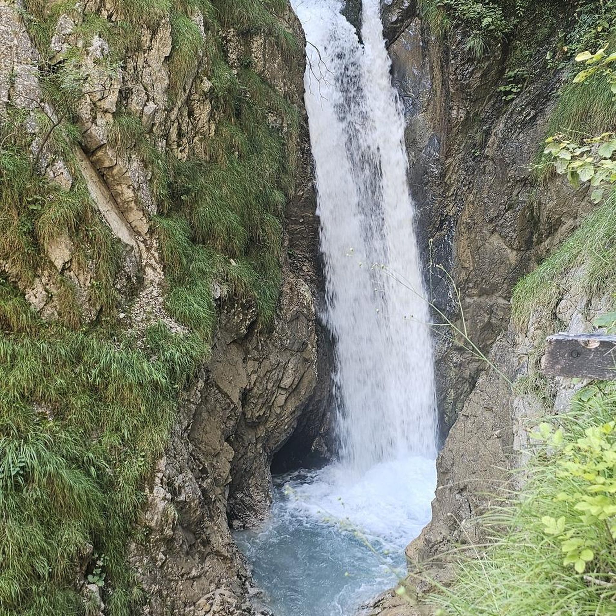
The routes often pass through or near notable natural features. You might encounter the majestic Puy de Montoncel, an extinct volcano offering panoramic views, or the dramatic Saint-Vincent Rock. The Creux de Saillant Waterfall is also a beautiful sight along some routes, such as the Moulin de Champhigne – Creux de Saillant Waterfall loop from Saint-Rémy-sur-Durolle.
Are there any historical or cultural attractions accessible by these routes?
Yes, the region is rich in history. Some routes, like the challenging Châteldon Castle – Viewpoint overlooking Châteldon loop from Puy-Guillaume, pass by historical sites such as Château de Montgilbert. The broader Auvergne region also features ancient castles and picturesque villages that can be explored.
What do other road cyclists enjoy most about the no traffic routes in Saint-Victor-Montvianeix?
The area is highly rated by the komoot community, with an average score of 4.1 stars from 77 ratings. Reviewers often praise the tranquility of the routes, the stunning green and mountainous landscapes, and the sense of escape offered by cycling on roads with minimal vehicle presence.
Are there any routes that feature viewpoints or scenic panoramas?
Absolutely. The diverse topography, including volcanic terrain, provides numerous opportunities for breathtaking views. The Panorama of Rez de Sol is a notable viewpoint, and routes around features like Puy de Montoncel offer spectacular vistas of the surrounding Auvergne volcanoes and forests.
What is the typical elevation gain on these no traffic road cycling routes?
The elevation gain varies significantly, reflecting the region's diverse terrain. Moderate routes can have climbs around 500-800 meters, such as the Col de la Loge des Gardes loop from Saint-Priest-la-Prugne with 569 meters of ascent. More difficult routes can exceed 900 meters, like the Châteldon Castle – Viewpoint overlooking Châteldon loop from Puy-Guillaume.
Are there any longer no traffic road cycling routes for endurance rides?
Yes, for those looking for longer rides, routes like the Chabreloche Town Center – Plan d'Eau des Prades loop from Saint-Rémy-sur-Durolle offer a substantial distance of over 48 km, allowing for extended time on quiet roads through scenic landscapes.
Where can I find parking for these no traffic road cycling routes?
While specific parking details for each route are best checked on the individual komoot tour pages, many routes start from or pass through villages and towns within the Livradois-Forez Regional Natural Park, where public parking is generally available. Consider starting points like Saint-Rémy-sur-Durolle or Puy-Guillaume for convenient access.
Most popular routes around Saint-Victor-Montvianeix
Most popular attractions around Saint-Victor-Montvianeix

Get inspired with the komoot mobile app


Explore more
Browse the best Road cycling routes in other regions.
