The best traffic-free bike rides around Quessoy
4.4
(290)
8,001
riders
280
rides
No traffic road cycling routes around Quessoy, located in Brittany, France, traverse diverse landscapes ranging from coastal stretches to inland hills. The region features well-paved roads suitable for road cycling, connecting to broader regional cycling networks. Key geographical features include Mont Bel-Air, the highest point in Côtes-d'Armor, offering significant elevation gains, and proximity to the Côte de Penthièvre with its coastal roads. The area also integrates with extensive greenways, providing varied terrain for cyclists.
Best no traffic road cycling routes…
Last updated: November 4, 2026
31
riders
35.3km
01:41
230m
230m
Easy road ride. Mostly well-paved surfaces and easy to ride.
12
riders
54.4km
02:39
720m
720m
Moderate road ride. Good fitness required. Mostly well-paved surfaces and easy to ride.

17
riders
114km
05:23
1,340m
1,340m
Hard road ride. Very good fitness required. Mostly well-paved surfaces and easy to ride.
5.0
(1)
13
riders
43.4km
02:03
500m
500m
Moderate road ride. Good fitness required. Mostly well-paved surfaces and easy to ride.
12
riders
46.5km
02:20
640m
640m
Moderate road ride. Good fitness required. Mostly well-paved surfaces and easy to ride.
Get access to more routes and recommendations from other explorers.
Already have an account?
Our route recommendations are based on thousands of hikes, rides, and runs completed by other people on komoot.
Tips from the Community

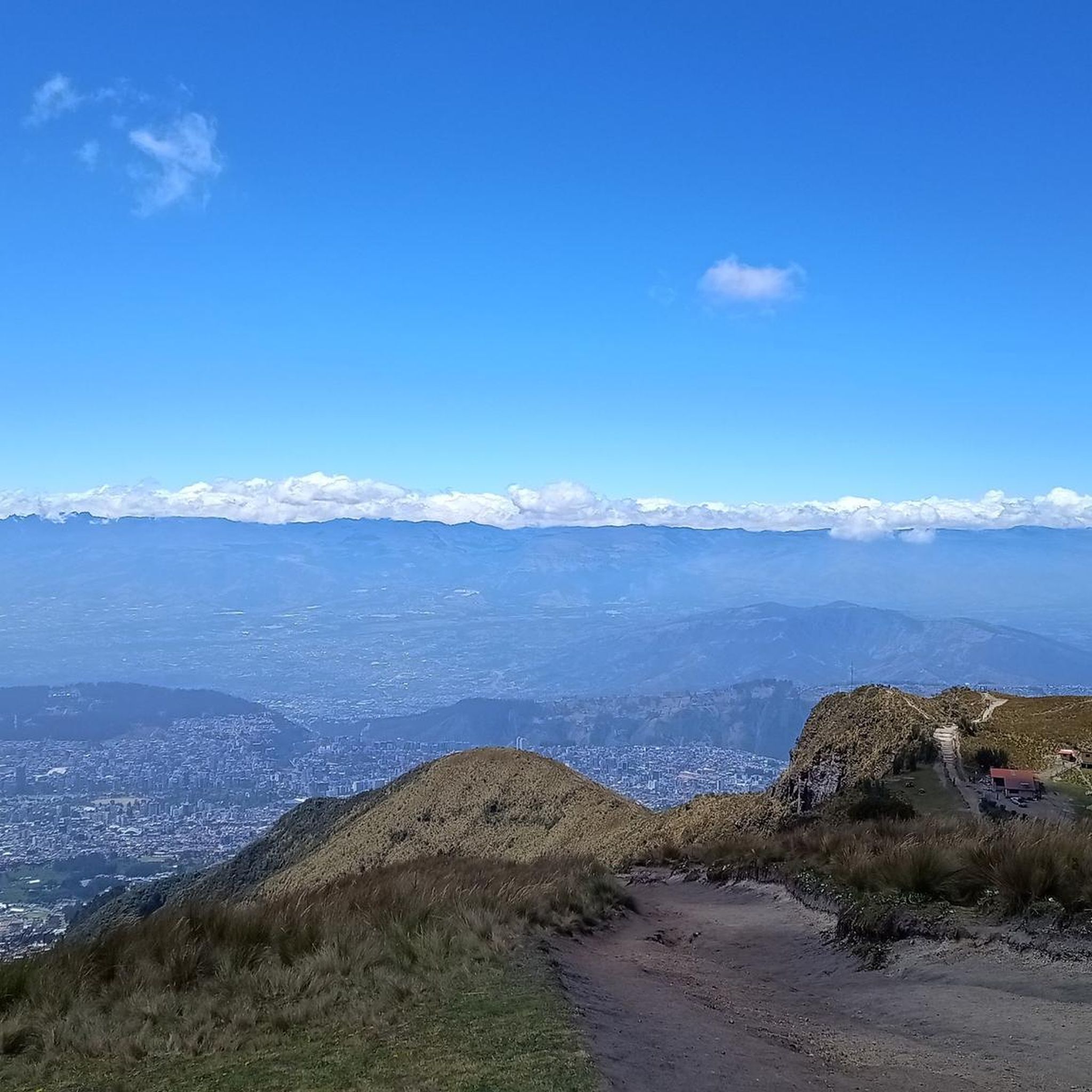
Trébry is a small village nestled in a rolling, green landscape. It is best known for Mount Bel-Air, the highest point in the department, and its 360-degree panorama.
0
0
Perched atop Mount Bel-Air, the highest point in the Côtes-d'Armor region, the Notre-Dame du Mont-Carmel chapel watches over the valley. Its octagonal architecture and radiating aisles make it a unique place. The view from the summit alone is worth the climb.
2
0

To find your way around the 360° view
0
0

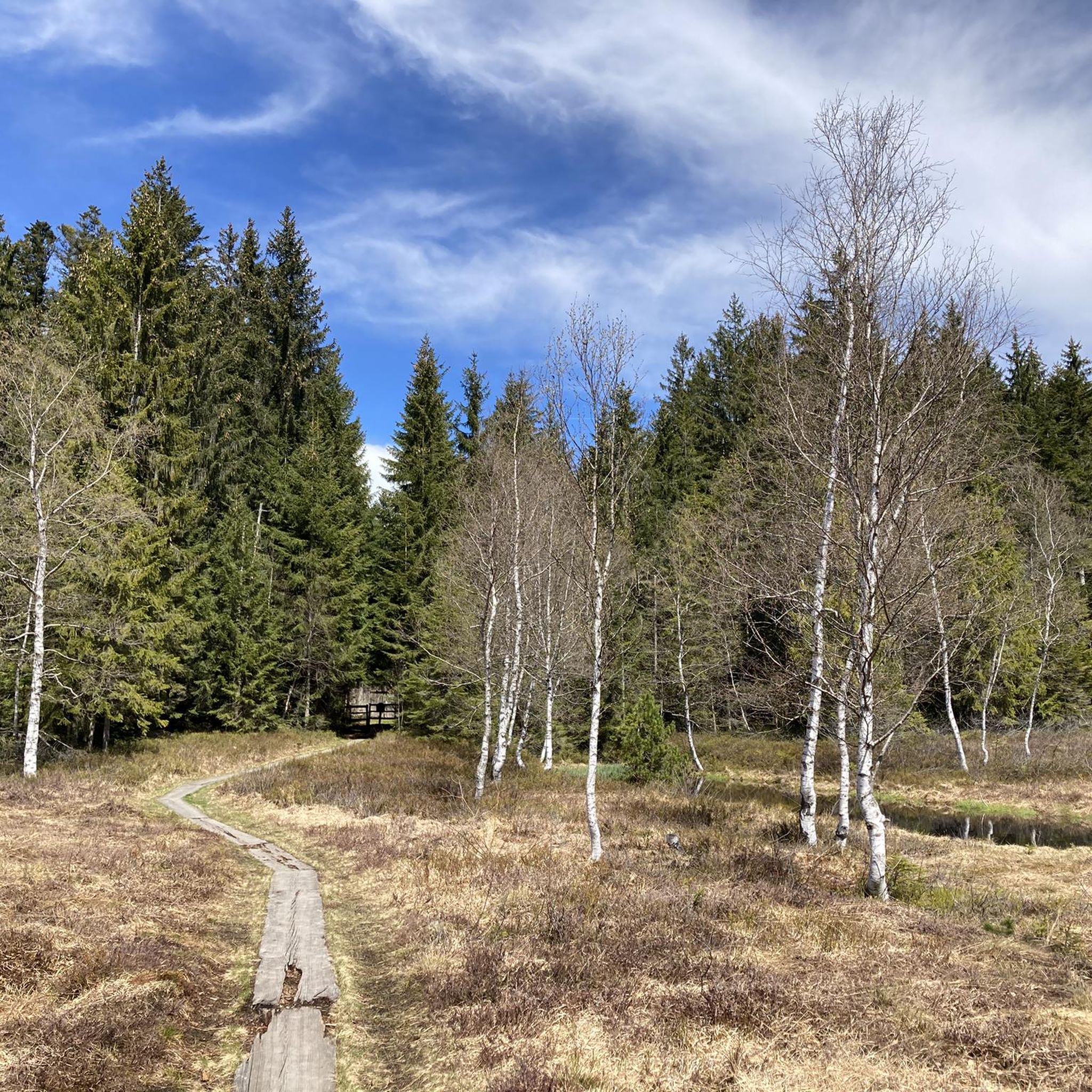
A very beautiful view of the pond next to Les Villes Hamelin.
0
0

Located at the summit of Mont Bel Air, the Notre-Dame du Mont-Carmel chapel (or Notre-Dame de Bel-Air) erected between 1855 and 1862, classified as a historic monument.
1
0
The climb to Mont Bel Air is not excessively difficult from Saint Gouéno and is done in stages, it is more distinguished by its length.
2
0

Mont Bel-Air is the highest point in the French department of Côtes-d'Armor, at 339 meters above sea level, in the commune of Trébry. At the top of Mont Bel-Air is the Notre-Dame du Mont-Carmel (or Notre-Dame de Bel-Air).
1
0

Frequently Asked Questions
How many no-traffic road cycling routes are available around Quessoy?
There are over 280 road cycling routes around Quessoy, many of which focus on quiet roads and low-traffic areas, offering a diverse range of options for cyclists seeking peaceful rides.
What kind of terrain can I expect on the quiet road cycling routes near Quessoy?
The routes around Quessoy offer varied terrain, from rolling hills to coastal stretches. You'll encounter picturesque rural landscapes, some challenging climbs like those leading to Mont Bel-Air, and scenic views. The region is known for its well-maintained roads, ideal for road cycling.
Are there challenging no-traffic road cycling routes with significant climbs around Quessoy?
Yes, for those seeking a challenge, routes like the Mount Bel-Air – Our Lady of Mount Carmel loop from Quessoy offer substantial elevation gains. This particular route covers over 114 km with more than 1300 meters of ascent, taking you to the highest point in Côtes-d'Armor, Mont Bel-Air, which provides panoramic views.
Can I find moderate no-traffic road cycling routes suitable for a half-day trip?
Absolutely. Routes such as the Alignement de Drény loop from Quessoy are perfect for a moderate half-day ride. This route is about 38 km long with around 465 meters of elevation gain, offering a pleasant experience through the local countryside.
What are some notable landmarks or attractions I might see along these routes?
Many routes pass by interesting sights. You could encounter the impressive Ponts-Neufs Viaduct, a historic arch bridge, or the serene La Grève des Courses, Saint-Brieuc Bay Nature Reserve. The region also features historical sites like the Château de Bienassis and the charming Historic Port of Dahouët.
Where can I find parking when starting a no-traffic road cycling route in Quessoy?
Quessoy, being a rural area, generally offers accessible parking in and around the village center. For specific routes, it's often possible to find parking near the starting points in smaller hamlets or designated areas, allowing for convenient access to the quiet roads.
Is Quessoy accessible by public transport for cyclists?
While Quessoy itself is a smaller commune, it is part of the broader Côtes-d'Armor department in Brittany. Regional bus services might connect to larger towns like Saint-Brieuc, which has a train station. It's advisable to check local public transport schedules and bike carriage policies in advance, as options can be limited in rural areas.
Are there any specific cycling regulations or permits required in Côtes-d'Armor?
In France, standard road cycling regulations apply, such as wearing a helmet outside urban areas (mandatory for children under 12, recommended for all), having working lights, and using reflective vests at night or in poor visibility. No special permits are typically required for cycling on public roads or designated cycle paths in Côtes-d'Armor.
What is the best time of year for no-traffic road cycling in Quessoy?
The best time for road cycling in Brittany, including Quessoy, is generally from spring to early autumn (April to October). During these months, the weather is milder, and the days are longer. Summer offers the warmest temperatures, but spring and autumn provide pleasant conditions with fewer crowds and vibrant landscapes.
What do other road cyclists enjoy most about road cycling in Quessoy?
The area is highly rated by the komoot community, with an average score of 4.5 stars. Reviewers often praise the tranquility of the routes, the diverse landscapes ranging from inland hills to coastal views, and the well-maintained roads that make for an excellent cycling experience away from heavy traffic.
Are there any coastal no-traffic road cycling options near Quessoy?
Quessoy's proximity to the Côte de Penthièvre means you can access stunning coastal roads with breathtaking panoramas of the English Channel. While not directly from Quessoy, you can connect to parts of the Vélomaritime (EuroVelo 4), which offers continuous scenic rides along the coast, featuring dramatic cliffs and charming seaside resorts.
Can I find routes that connect to Brittany's wider cycling network?
Yes, Quessoy benefits from its connection to Brittany's extensive network of cycling routes, which includes over 2700 kilometers of marked trails. You can find routes that link to Greenways N°4 and N°8, guiding you through picturesque maritime and rural Breton landscapes, often utilizing former railway lines or canal towpaths for traffic-free sections.
Most popular attractions around Quessoy

Get inspired with the komoot mobile app


Explore more
Browse the best Road cycling routes in other regions.
