The best traffic-free bike rides around Charantonnay
3.8
(10)
35
riders
5
rides
Gravel biking around Charantonnay offers a diverse landscape characterized by communal woods, lakes, and varied terrain suitable for off-road cycling. The region features a mix of singletracks, white paths, and undergrowth, providing a dynamic environment for no traffic gravel bike trails. Elevation changes are present, with some routes featuring significant ascents. The area is also home to greenways, such as the Bourbre Greenway, which provide dedicated cycle paths away from vehicular traffic.
Best no traffic gravel bike trails around Charantonnay
- The most popular no traffic gravel bike trail is Étang de Chalignieu – Crémieu–Morestel Greenway loop from L'Isle-d'Abeau, a 30.3 miles (48.7 km) trail that takes 3 hours 12 minutes to complete. This difficult route navigates through varied terrain including greenways and natural areas.
- Another top favourite among local gravel bikers is Col du Croupion – Bourbre Greenway loop from L'Isle-d'Abeau, a difficult 31.4 miles (50.5 km) path. This route features sections of the Bourbre Greenway and includes notable elevation changes.
- Local gravel bikers also love the Bourbre Greenway – Étang de la Rosière loop from L'Isle-d'Abeau, a 20.9 miles (33.7 km) trail leading through the Bourbre Greenway and past the Étang de la Rosière, often completed in about 2 hours 2 minutes.
- Gravel biking around Charantonnay is defined by communal woods, greenways, and lakes. The network offers options for different ability levels, from moderate to difficult.
- The routes in Charantonnay are highly rated by the komoot community with an average score of 3.8 stars from over 11 reviews. More than 33 gravel bikers have used komoot to explore Charantonnay's varied terrain.
Last updated: May 23, 2026
3.7
(3)
5
riders
48.7km
03:13
620m
620m
Hard gravel ride. Very good fitness required. Mostly paved surfaces. Suitable for all skill levels.
4
riders
50.5km
03:20
500m
500m
Hard gravel ride. Very good fitness required. You may need to push your bike for some segments of this route.

Sign up for free
3.8
(6)
8
riders
34.9km
02:38
530m
530m
Hard gravel ride. Very good fitness required. Mostly paved surfaces. Suitable for all skill levels.
4.0
(1)
4
riders
34.5km
02:08
330m
330m
Moderate gravel ride. Good fitness required. Mostly paved surfaces. Suitable for all skill levels.
4
riders
44.6km
02:49
470m
470m
Hard gravel ride. Very good fitness required. Mostly paved surfaces. Suitable for all skill levels.
Our route recommendations are based on thousands of hikes, rides, and runs completed by other people on komoot.
Start today with a free account
Your next adventure awaits.
Login or Signup
Popular around Charantonnay

Tips from the Community

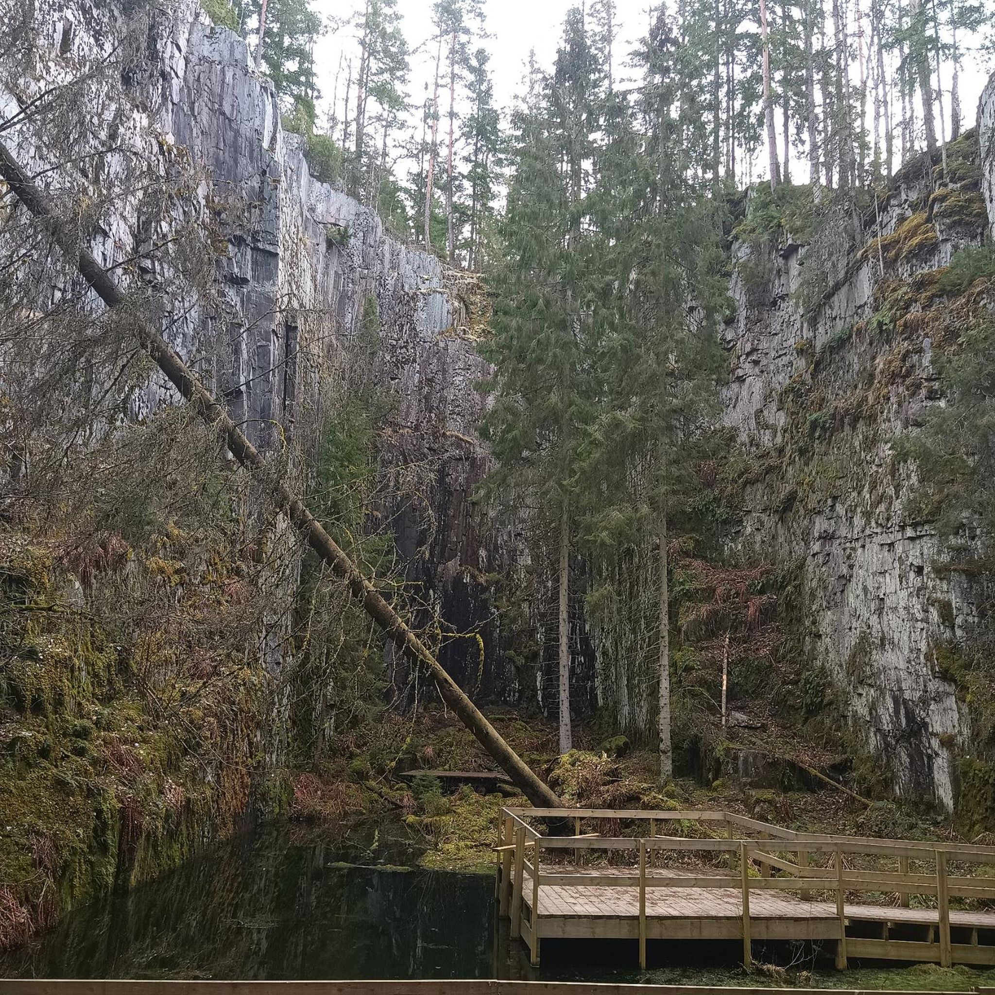
Lovely view of the pond. A little cool spot when it's hot.
0
0

Superb greenway with a very pleasant surface, rolling in being tarmac. Often shaded, so good in summer
0
0

Cremieu - Morestel: The old railway line is still clearly visible on the route. Lots of shade, very scenic.
0
0


On one of the high points of the hill of L'Isle d'Abeau, on the northern edge overlooking the hamlet of Didier and the quarries, is the location of the old fortified house of the Pollouds, a family mentioned in the 14th and 16th centuries. centuries. The Napoleonic land register shows that several buildings were still standing in the first half of the 19th century under the name of “Delay” castle (name of the farmer who bought the land after the Revolution). The chapel, circular in plan, occupies one of the towers of the old castle, as shown by the presence of three keyhole shooting slots. In the 1860s, the owner transformed this tower, then serving as a henhouse, into a public oratory, which he had decorated with a mural and a statuette of Saint Anne.
0
0
Pretty little waterfall at the entrance to the village of Saint-Savin, it is very nicely decorated for Christmas, to see at night!
0
0
Rosière Pond NATURAL HERITAGE Rosière Pond BACK TO THE LIST Rosière Pond© Martial-Couderette The Rosière pond is located to the north-east of the town of Bourgoin-Jallieu on the edge of the town of Ruy-Montceau and offers an ideal relaxing setting. The association “Les Amis de Rosière et de la Nature” manages the pond made available by the city. The Rosière pond, fed by the Loudon stream, was built in the 18th century to power a hemp mill (the current restaurant). This pond was the property of the GENIN family for a long time before being bought by the town of Bourgoin-Jallieu in 1978. Since then, the town of Bourgoin-Jallieu has done everything possible to make this site a protected natural place, walks and hikes and a fishing spot. Many hiking trails start from the pond. Source: Isère Tourism
1
0
Magnificent castle which you can go up to and admire.
1
0
Frequently Asked Questions
How many no-traffic gravel bike trails are available around Charantonnay?
This guide features 3 dedicated no-traffic gravel bike trails around Charantonnay. These routes are designed to offer a peaceful cycling experience away from vehicular traffic.
Are there any easy no-traffic gravel bike routes suitable for beginners or families?
Yes, for those seeking a less strenuous ride, the Bourbre Greenway – Étang de la Rosière loop from L'Isle-d'Abeau is rated as moderate. It covers 33.7 km with a manageable elevation gain, making it a good option for families or beginners looking for a pleasant, car-free experience.
What kind of terrain can I expect on these no-traffic gravel bike trails?
The trails around Charantonnay offer a diverse mix of terrain, perfect for gravel biking. You'll encounter communal woods, white paths, and sections through undergrowth, reflecting the region's rural character. The Col du Croupion – Bourbre Greenway loop from L'Isle-d'Abeau, for instance, provides varied surfaces and interesting elevation changes.
Are there any circular no-traffic gravel bike routes?
Yes, all the routes featured in this guide are circular, allowing you to start and finish at the same point. For example, the Étang de Chalignieu – Crémieu–Morestel Greenway loop from L'Isle-d'Abeau offers a substantial circular journey through varied landscapes.
What are some scenic highlights or landmarks I can see along these routes?
The region is rich in natural beauty and historical sites. While cycling, you might encounter tranquil spots like the Étang de la Rosière or the Three Waters Pond. The Bourbre Greenway itself is a scenic, tree-lined path. For historical interest, consider routes that pass near the stunning Château de Fallavier, often visible from Lake Saint-Quentin-Fallavier.
What do other gravel bikers enjoy most about the no-traffic trails around Charantonnay?
The komoot community rates the trails around Charantonnay highly, with an average score of 3.8 stars. Reviewers often praise the quiet, car-free nature of the routes, the diverse landscapes, and the opportunity to explore the region's natural beauty and historical landmarks in peace.
Can I bring my dog on these gravel bike trails?
Many natural areas and trails in France are dog-friendly, especially if your dog is well-behaved and kept on a leash. However, specific regulations can vary. It's always best to check local signage or park rules along your chosen route to ensure dogs are permitted, particularly around protected natural sites or private lands.
What is the best season for gravel biking in Charantonnay?
Charantonnay offers enjoyable gravel biking throughout much of the year. Spring and autumn provide pleasant temperatures and beautiful scenery, with vibrant foliage or blooming wildflowers. Summer can be warm, but the communal woods offer shaded sections. Winter riding is possible, especially on quieter routes, but be mindful of potential mud or colder conditions.
Are there any routes that pass by lakes or ponds?
Yes, several routes incorporate the region's beautiful water features. The Étang de Chalignieu – Crémieu–Morestel Greenway loop from L'Isle-d'Abeau and the Saint Bonnet Pond – Étang de Chalignieu loop from Villefontaine both feature scenic ponds, offering picturesque spots for a break.
Where can I park my car when starting a gravel bike tour?
Many of the routes in this guide start from L'Isle-d'Abeau or Villefontaine, which are larger towns likely to have public parking facilities. For specific starting points, it's advisable to check the individual route details on komoot, as they often include information about parking availability near the trailhead.
How long do these no-traffic gravel bike trails typically take to complete?
The duration varies depending on the route and your pace. For example, the Three Waters Pond – Pavilion of the Four Winds loop from L'Isle-d'Abeau is approximately 34.9 km and can take around 2 hours and 38 minutes of riding time. Longer routes, like the Col du Croupion – Bourbre Greenway loop from L'Isle-d'Abeau, which is over 50 km, will naturally require more time, typically around 3 hours and 20 minutes.
Most popular routes around Charantonnay
Most popular attractions around Charantonnay

Get inspired with the komoot mobile app


Explore more
Browse the best Gravel rides in other regions.
