The best cycling routes around Mauborget
4.5
(408)
5,815
riders
205
rides
Touring cycling around Mauborget offers routes through varied landscapes characterized by significant elevation changes. The region features routes traversing river valleys, such as the Areuse River, and ascending towards prominent viewpoints like Creux du Van and Lake Tallières. Cyclists can expect a mix of terrain, from forested sections to open areas with panoramic views, typical of the Jura mountains.
Best touring cycling routes around Mauborget
- The most popular touring cycling route is Areuse River – Creux du Van loop from…
Last updated: May 11, 2026
4.0
(1)
54
riders
64.7km
05:00
1,190m
1,190m
Hard bike ride. Very good fitness required. You may need to push your bike for some segments of this route.
5.0
(2)
31
riders
66.8km
04:27
910m
910m
Hard bike ride. Very good fitness required. Mostly paved surfaces. Suitable for all skill levels.

Sign up for free
4.3
(3)
30
riders
154km
10:41
2,440m
2,440m
Hard bike ride. Very good fitness required. Mostly paved surfaces. Suitable for all skill levels.
5.0
(1)
21
riders
42.0km
02:47
610m
610m
Hard bike ride. Very good fitness required. Mostly paved surfaces. Suitable for all skill levels.
4.7
(12)
101
riders
38.9km
02:46
700m
700m
Hard bike ride. Very good fitness required. Mostly paved surfaces. Suitable for all skill levels.
Get access to more routes and recommendations from other explorers.
Sign up for free
Already have an account?
Our route recommendations are based on thousands of hikes, rides, and runs completed by other people on komoot.
Start today with a free account
Your next adventure awaits.
Login or Signup
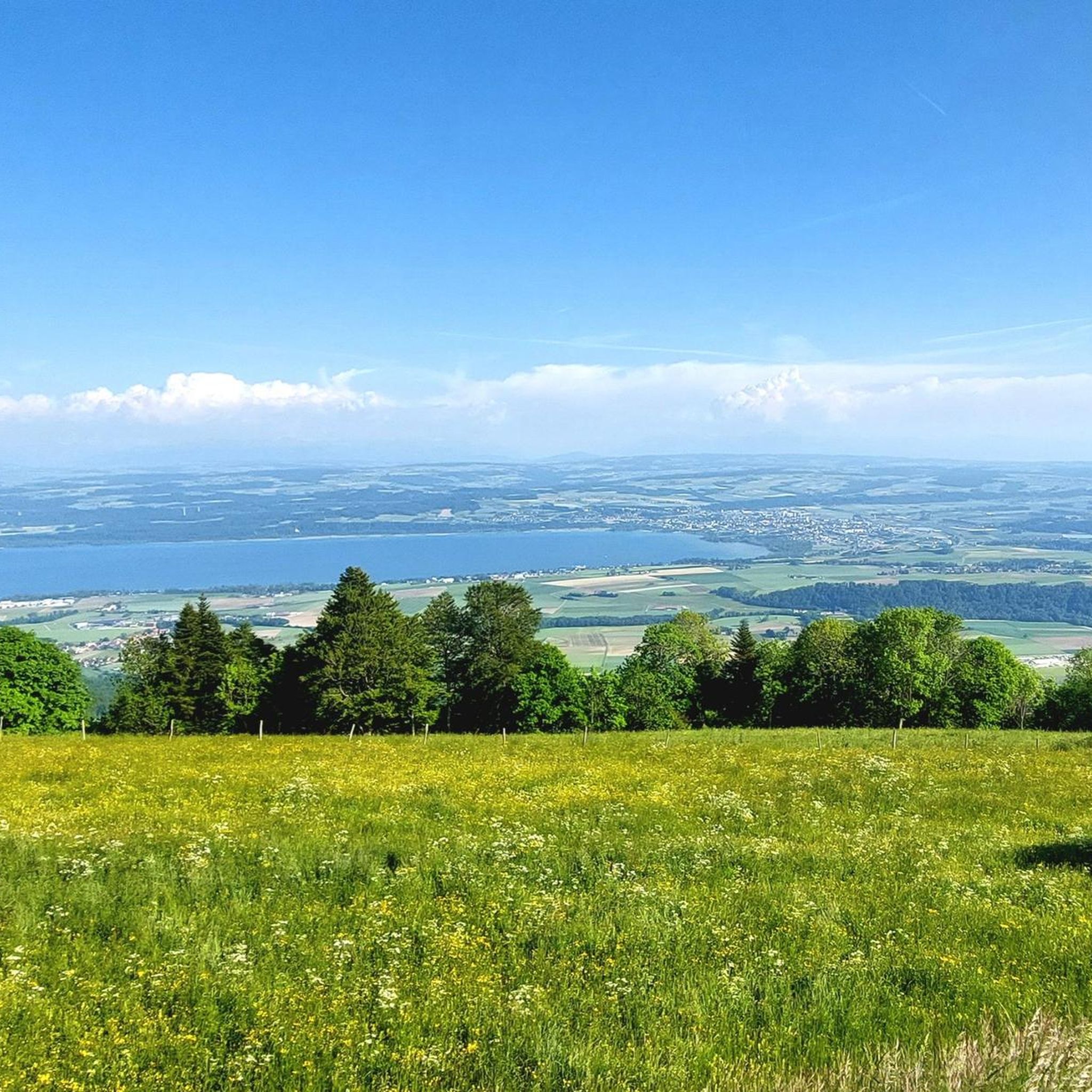
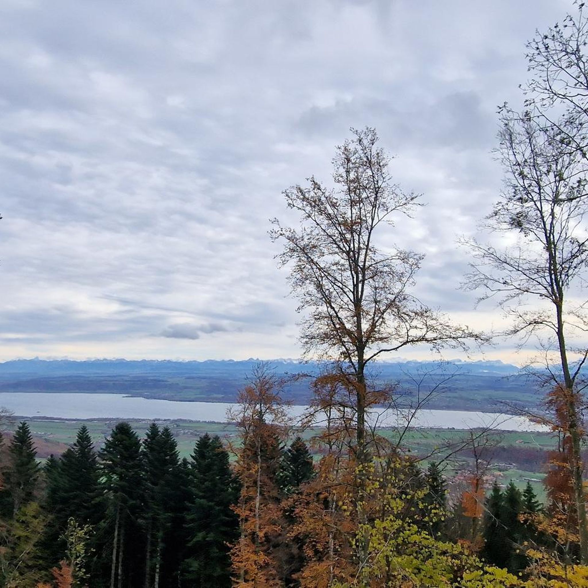
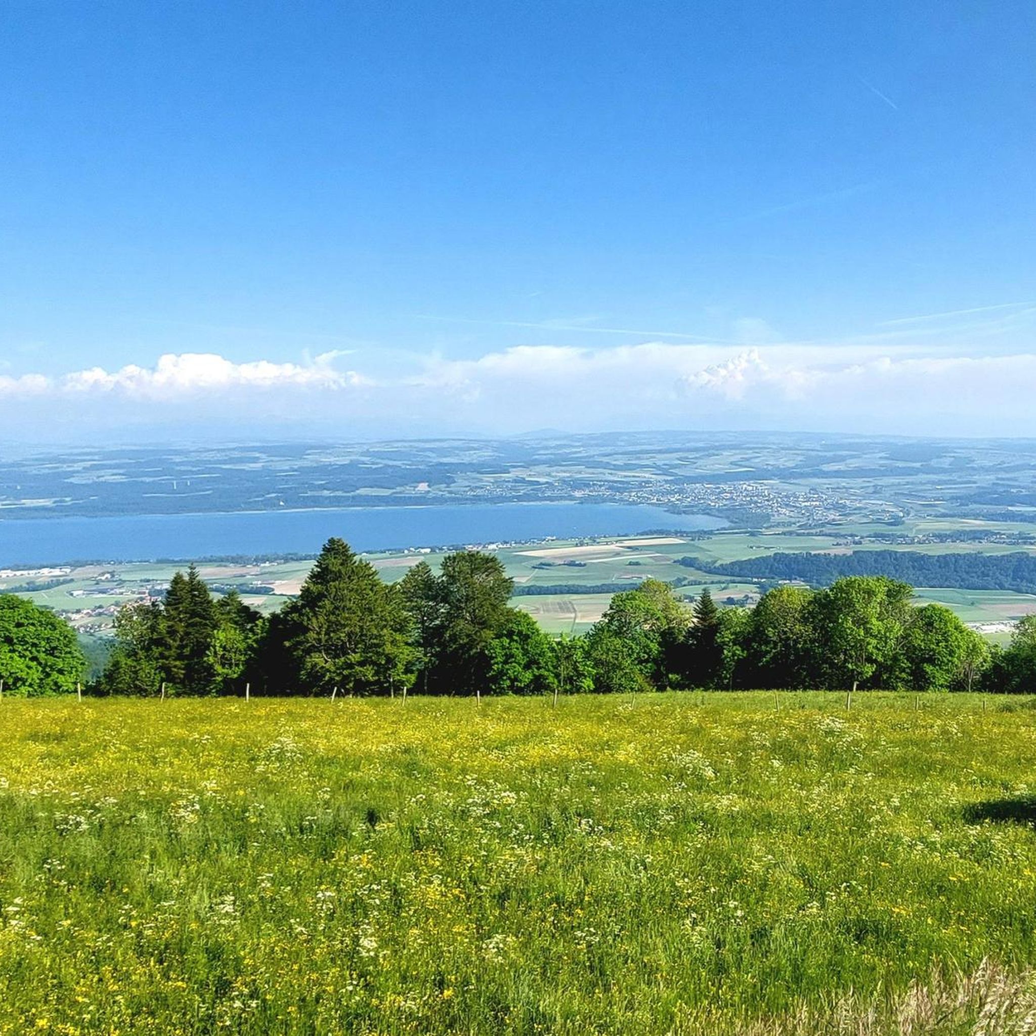
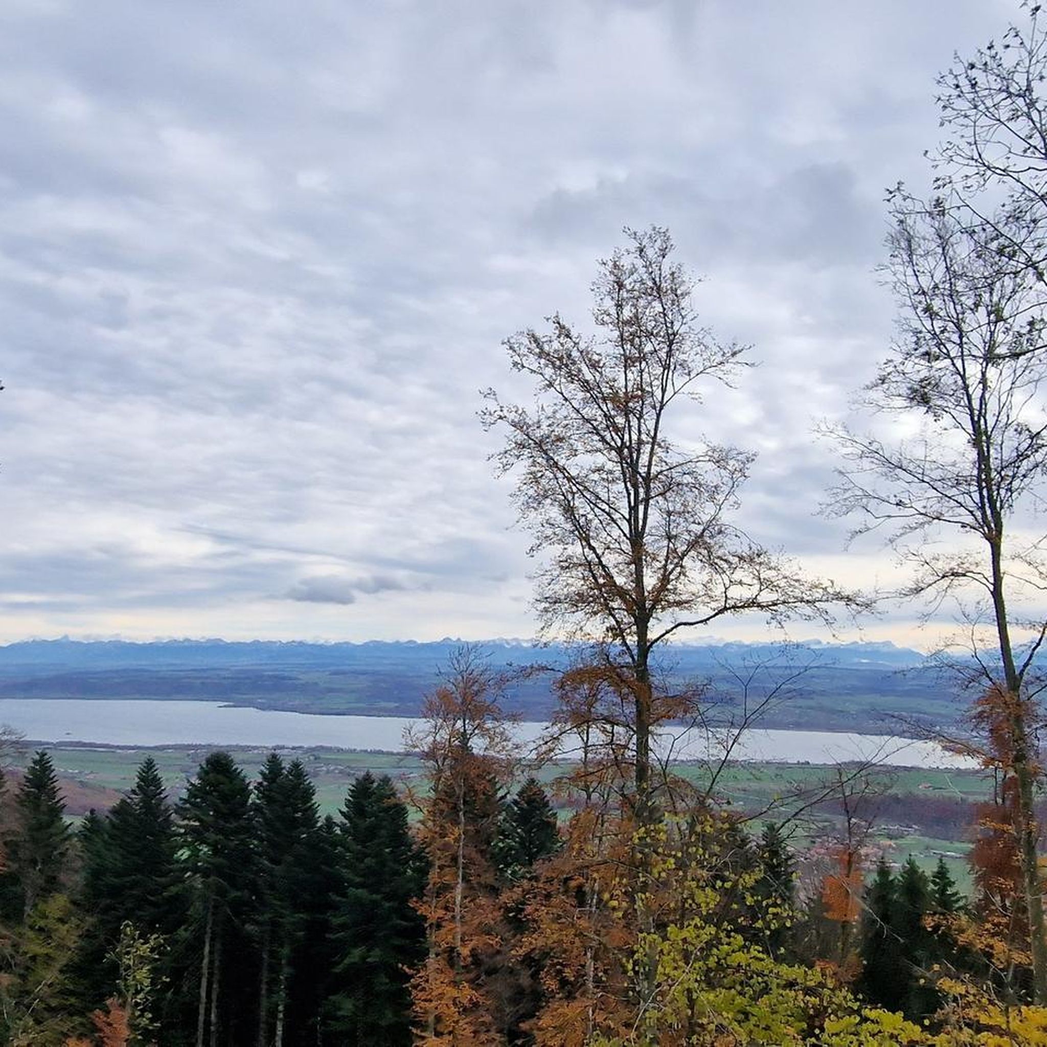
Tips from the Community

Superb region ❤️
0
0


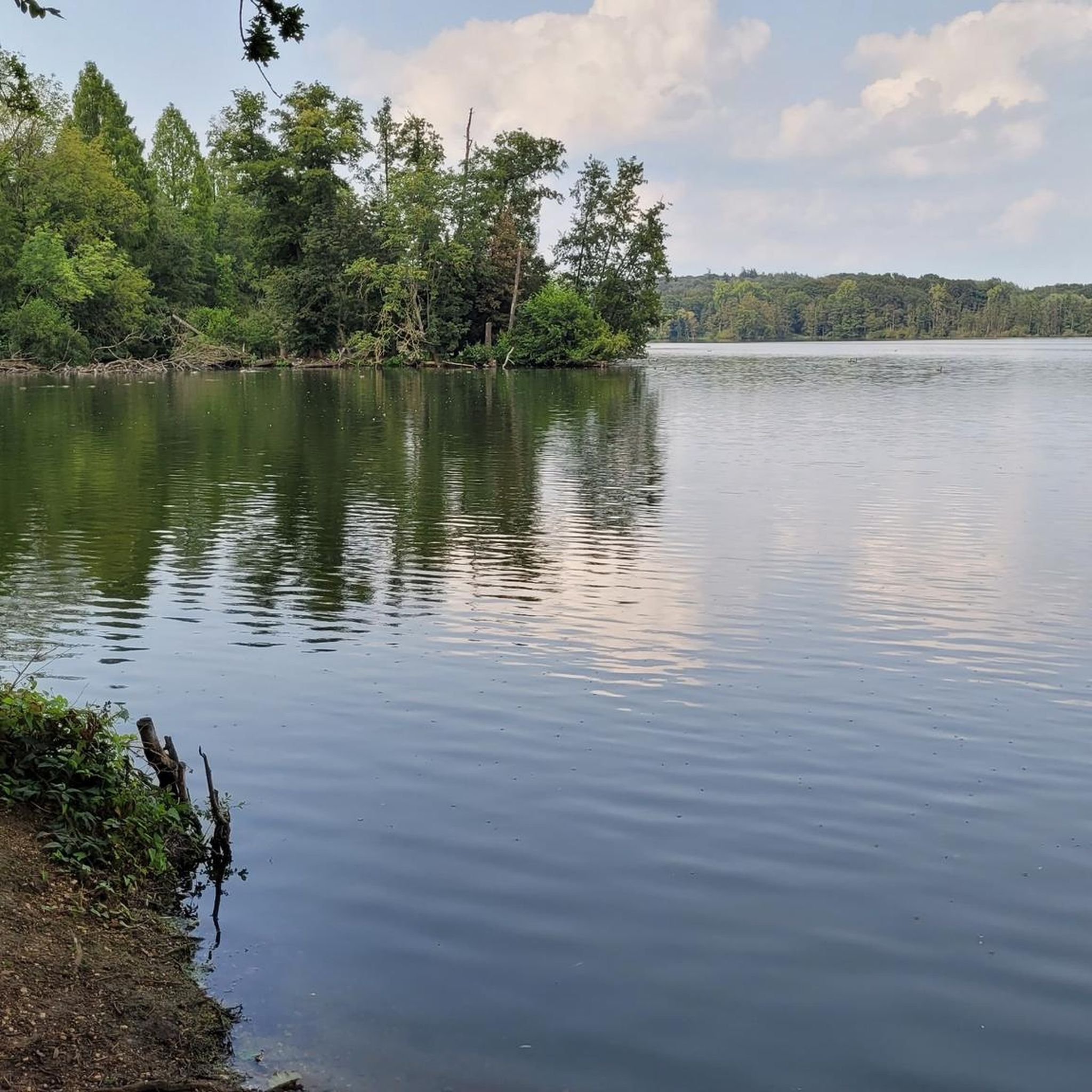
From here you have a wonderful view of the lake, which lies in a hollow surrounded by green pastures and forests.
1
0

Great! Drives well. Watch out for pedestrians
0
0

The Creu de Van is simply unique! You can either leave your racing bike at the bistro or push it about 200m across the meadow (for a selfie with your bike 😉).
0
0


A clearing offers you the opportunity to enjoy the magnificent views of the Val de Travers. The landscape is characterized by fir forests, steep limestone formations, and the reliefs of the Jura.
0
0
The Brévine Valley is nicknamed the Siberia of Switzerland for its record-breaking cold. This magnificent road connects La Chaux-du-Milieux and Brévine through fields and farms in Neuchâtel.
1
0
Frequently Asked Questions
What is the overall difficulty level for touring cycling routes around Mauborget?
Mauborget's touring cycling routes are characterized by significant elevation changes, typical of the Jura mountains. Out of over 200 routes, 125 are rated as difficult, 55 as moderate, and 27 as easy. This means cyclists should be prepared for climbs and descents, with many routes offering challenging terrain.
Are there any family-friendly touring cycling routes in Mauborget?
Yes, Mauborget offers 27 easy touring cycling routes suitable for families or those looking for a more relaxed ride. These routes generally feature less demanding terrain, allowing for an enjoyable experience for all skill levels.
What are some notable viewpoints or natural landmarks to see along the cycling paths?
The region boasts several impressive viewpoints and natural landmarks. You can cycle towards panoramic views over the Creux du Van natural amphitheater, or enjoy vistas of Lake Tallières. Other notable spots include the Chasseron Summit, Champ-Pittet Observation Tower, and the Petites Roches Ridge, all offering stunning scenery.
Are there any circular touring cycling routes available?
Yes, many routes around Mauborget are designed as loops, allowing you to start and finish in the same location. For example, the Areuse River – Creux du Van loop from Buttes is a popular circular option, as is the View of Lake Tallières – Areuse River loop from Buttes.
What is the best season for touring cycling in Mauborget?
The best season for touring cycling in Mauborget is generally from late spring to early autumn (May to October). During these months, the weather is typically mild, and the trails are clear. Summer offers warm conditions, perfect for enjoying the scenic views, though some higher elevation routes might be cooler.
Can I access Mauborget's cycling routes using public transport?
Mauborget and its surrounding areas are accessible by public transport, particularly trains and buses that connect to nearby towns like Buttes, Môtiers, and Fleurier. Many routes, such as the Areuse River – The Areuse loop from Môtiers, start from these locations, making public transport a viable option for reaching the trailheads.
What kind of terrain can I expect on the touring cycling routes?
Cyclists can expect a diverse mix of terrain, from forested sections and river valleys, such as the Areuse River, to open areas with panoramic views. The routes often involve significant elevation changes, characteristic of the Jura mountains, providing both challenging climbs and rewarding descents.
What do other touring cyclists enjoy most about cycling in Mauborget?
The area is highly rated by the komoot community, with an average score of 4.5 stars from over 400 reviews. Reviewers often praise the varied landscapes, the challenging climbs leading to spectacular views, and the opportunity to explore both river valleys and prominent viewpoints like Creux du Van.
Are there any long-distance touring routes for experienced cyclists?
Yes, for experienced touring cyclists seeking a longer challenge, routes like the Areuse River – The Areuse loop from Môtiers offer a substantial ride. This particular route covers 154.1 km (95.7 miles) and involves significant elevation gain, typically taking over 10 hours to complete.
Are there any unique natural features or 'hidden gems' to discover?
Beyond the well-known Creux du Van, the region holds unique natural features such as the Glacière de Monlési Ice Cave, offering a glimpse into the area's geological wonders. Exploring the diverse landscapes often reveals less-traveled paths and serene spots.
What are the typical distances and elevation gains for routes in Mauborget?
Routes vary significantly. For instance, the La Brévine Weather Station – View of Lake Tallières loop from Fleurier is about 42 km (26 miles) with over 600 meters of elevation gain, while the Areuse River – Creux du Van loop from Fleurier covers nearly 39 km (24 miles) with almost 700 meters of ascent. Many routes feature substantial climbs, reflecting the mountainous terrain.
Most popular routes around Mauborget
Most popular attractions around Mauborget

Get inspired with the komoot mobile app


Explore more
Browse the best Cycling routes in other regions.
