The best walks and hikes around Matzendorf
4.6
(4110)
22,121
hikers
549
hikes
Hiking around Matzendorf, located in Austria's Wiener Neustadt district, offers diverse landscapes for outdoor activities. The region features rolling hills, lush forests, and panoramic views. Hikers can explore dense woodlands, pine forests, and areas showcasing local wine cultures, with some trails offering views towards Schneeberg and interesting geological formations like rock walls.
Best hiking trails around Matzendorf
- The most popular hiking route is Rüttelhorn Loop Trail, a 8.4 miles (13.5 km) trail that takes 4 hours 33 minutes to…
Last updated: September 26, 2026
4.7
(50)
186
hikers
13.5km
04:33
670m
660m
Moderate hike. Good fitness required. Mostly accessible paths. Sure-footedness required.
4.9
(7)
50
hikers
5.91km
01:50
110m
110m
Moderate hike. Great for any fitness level. Mostly accessible paths. Sure-footedness required.

4.3
(4)
39
hikers
6.19km
01:47
150m
160m
Easy hike. Great for any fitness level. Easily-accessible paths. Suitable for all skill levels.
4.8
(6)
35
hikers
19.5km
06:23
780m
780m
Hard hike. Very good fitness required. Mostly accessible paths. Sure-footedness required.
5.0
(2)
40
hikers
8.59km
02:24
170m
170m
Moderate hike. Good fitness required. Easily-accessible paths. Suitable for all skill levels.
Get access to more routes and recommendations from other explorers.
Already have an account?
Our route recommendations are based on thousands of hikes, rides, and runs completed by other people on komoot.
Start today with a free account
Your next adventure awaits.

Tips from the Community

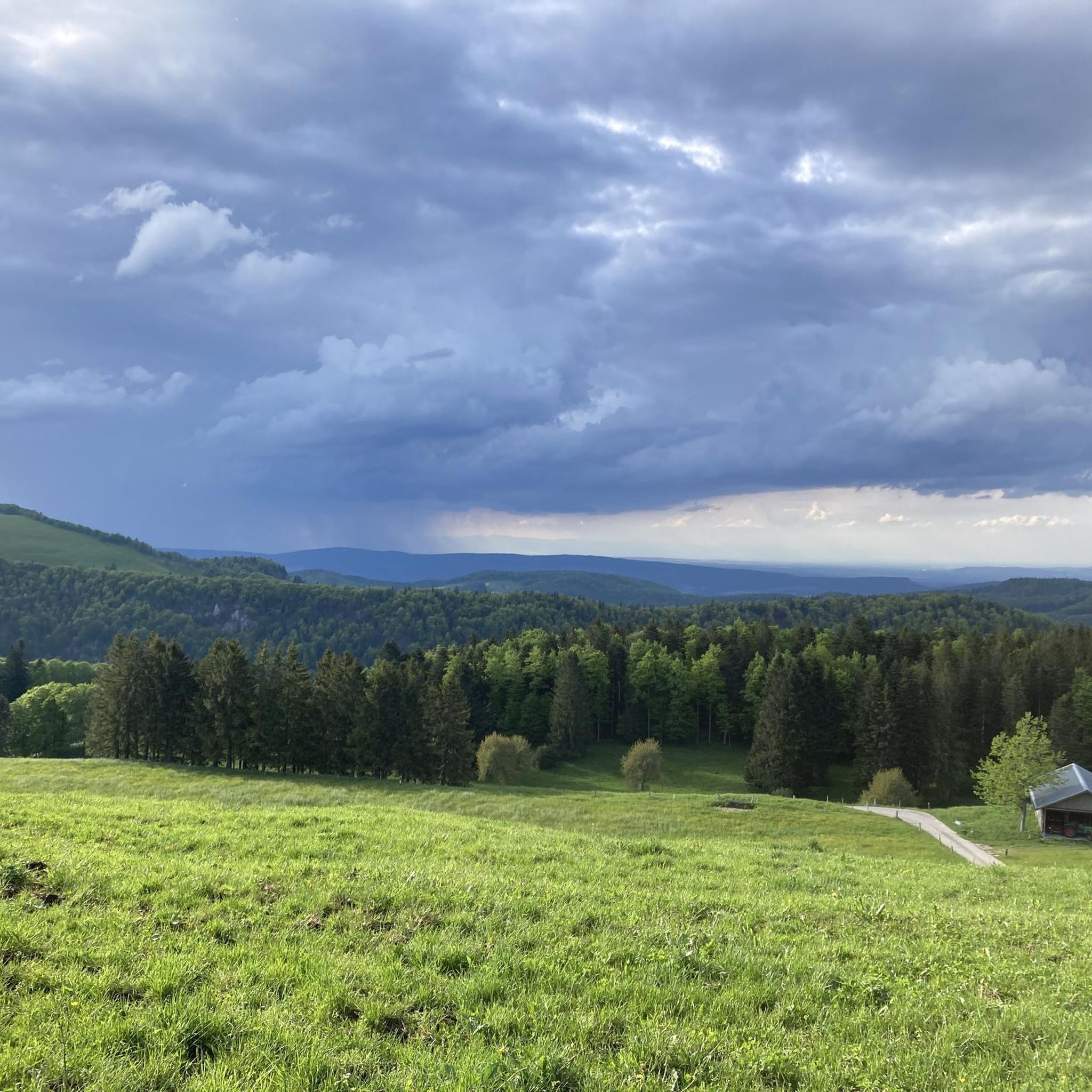
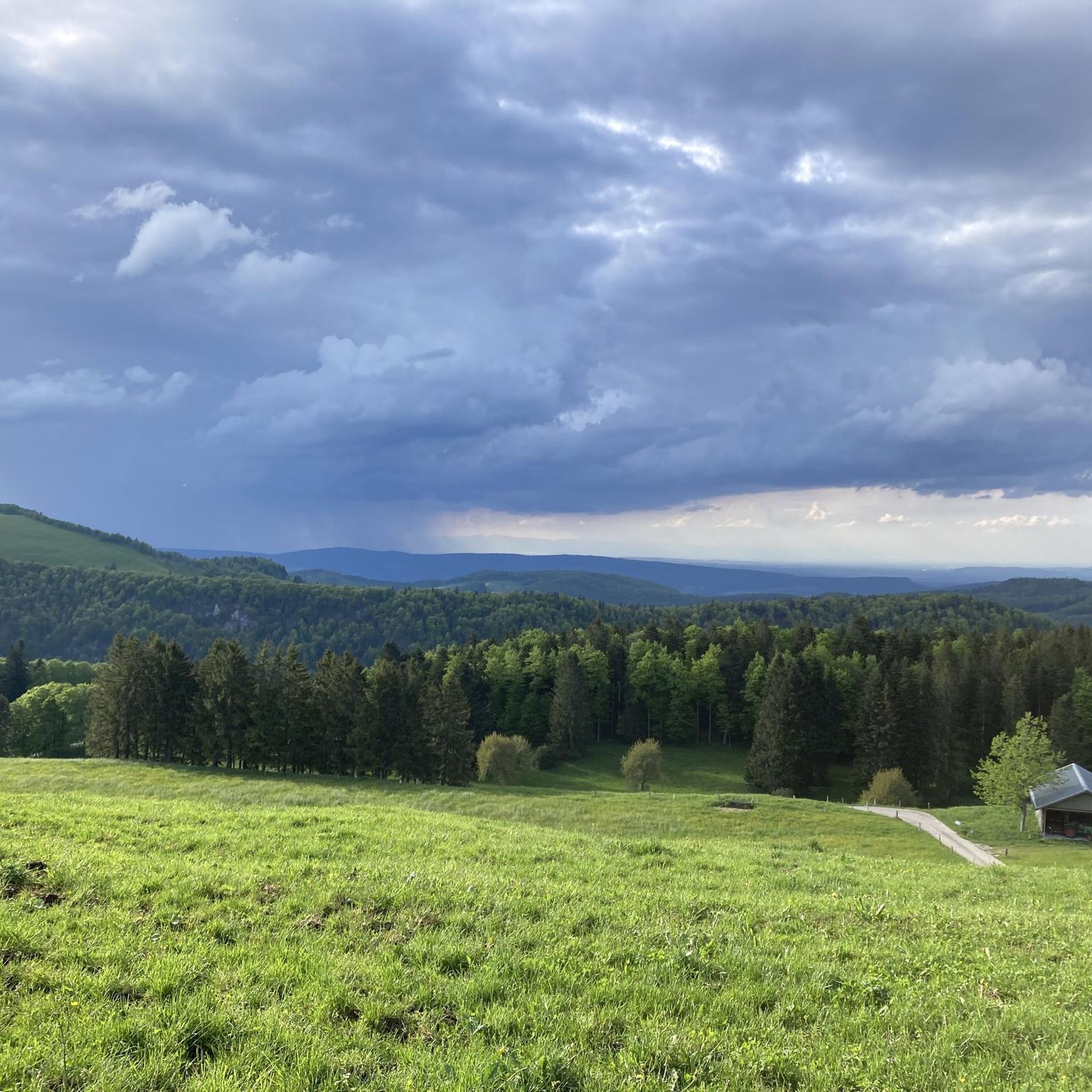
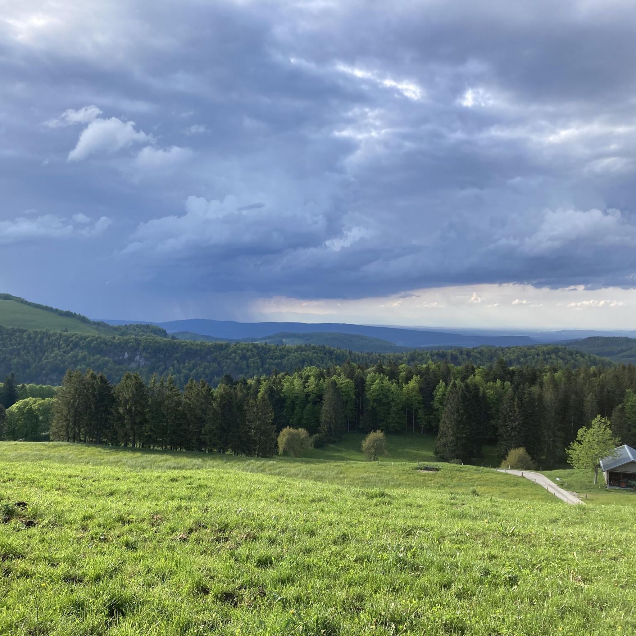
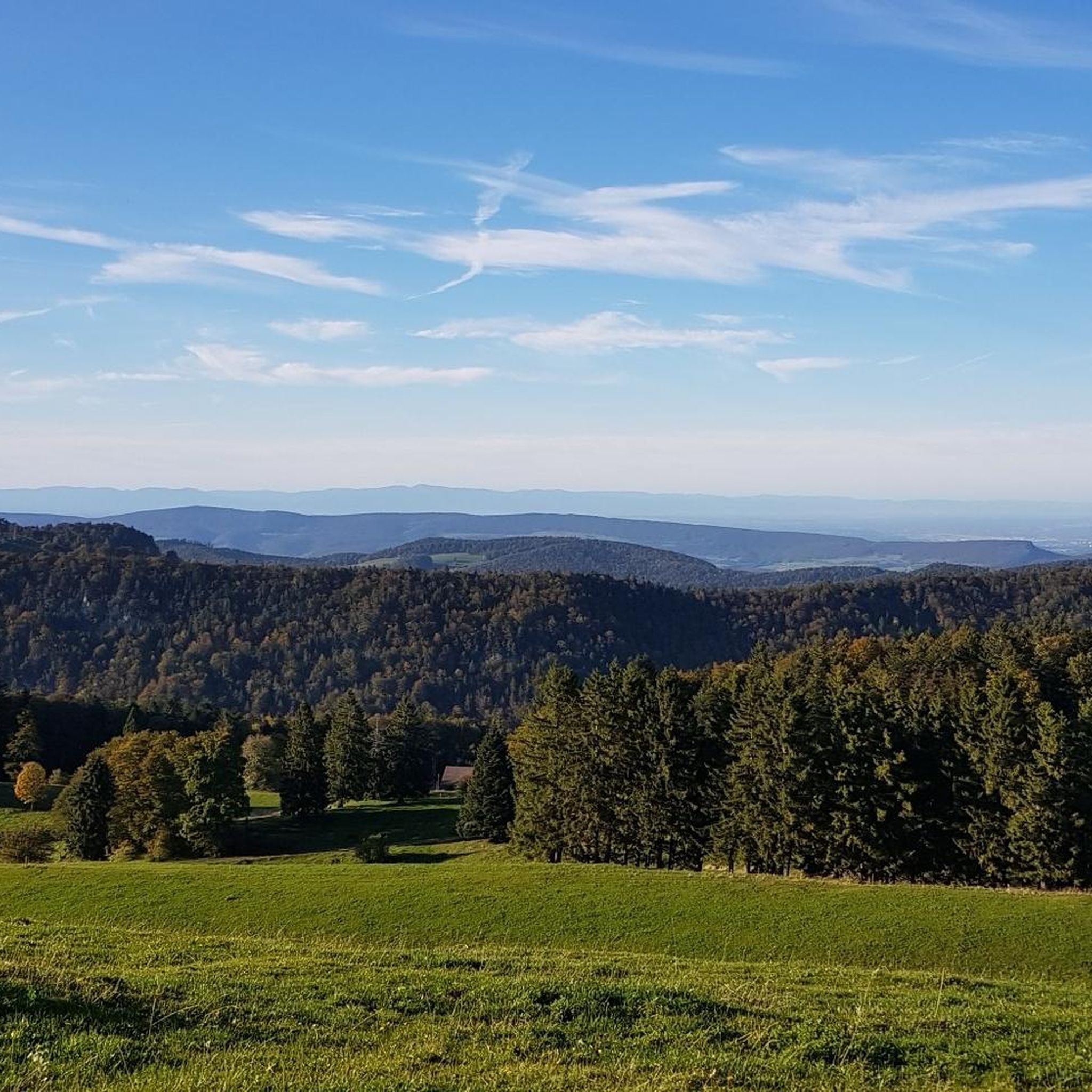
The Güggel mountain restaurant is located at 1150 m above sea level in the Thal Nature Park, directly on the Weissenstein–Wasserfallen hiking route. The cozy mountain restaurant run by the Gygax family offers a large sun terrace and simple, homemade specialties such as farmer's sausages, smoked sausages, soups, as well as homemade cakes and meringue ice cream. It is a popular hiking destination with a magnificent view of the Jura heights and the Alps.
7
0
The Brunnersberg (1118 m above sea level) is located in the Thal Nature Park and offers a magnificent panoramic view of the Alps, the Black Forest, and the Vosges. The scenic Jura ridge leads through light pine forests and invites you to varied hikes. Several mountain inns along the route offer an ideal opportunity for a pleasant rest.
8
0


beautiful viewpoint with a panoramic view.
1
0

There are parking spaces directly at the pass
0
0


Unfortunately, the Kurhaus is still listed on a hiking map as a catering facility.
0
0
Frequently Asked Questions
How many hiking trails are available around Matzendorf?
Matzendorf offers a wide variety of hiking experiences, with over 560 routes recorded on komoot. These trails cater to all levels, from easy strolls to more challenging ascents through diverse landscapes.
What kind of terrain can I expect when hiking in Matzendorf?
The region around Matzendorf is characterized by picturesque rolling hills, lush forests, and panoramic viewpoints. You'll find dense woodlands, pine forests, and areas showcasing local wine cultures. Some trails offer views towards Schneeberg and feature interesting geological formations like rock walls.
Are there easy hiking options suitable for beginners or casual walkers in Matzendorf?
Yes, Matzendorf has plenty of easy hiking options. There are over 160 routes classified as easy, perfect for beginners or those looking for a relaxed walk. An example is the Way to Brunnersberg loop from Brunnersberg, which is an easy 5.3 km path.
Are there challenging hikes for experienced hikers in Matzendorf?
For experienced hikers seeking a challenge, Matzendorf offers over 100 difficult routes. One such demanding trail is the Balmberg Pass Summit – Röti loop from Farnern, a 19.5 km route with significant elevation gain, typically taking over 6 hours to complete.
Are there family-friendly hiking trails in Matzendorf?
Absolutely. The region is known for trails suitable for families. The Himmelreichweg, for instance, is a popular, well-marked trail through dense forests and idyllic fields, making it ideal for families with children due to its relatively easy nature.
Are there any accessible trails for strollers or wheelchairs in Matzendorf?
Yes, the Pecher Educational Trail offers a comfortable, short hike, much of which is paved. Despite slight inclines, it is generally accessible for strollers and wheelchairs, providing an inclusive outdoor experience.
Can I find circular hiking routes in Matzendorf?
Matzendorf offers several circular hiking routes. You can find varied circular hikes, such as one starting by the water with views towards Schneeberg, or an easy circular hike from Wöllersdorf. The Rüttelhorn Loop Trail is another popular circular option, covering 13.5 km.
What do other hikers say about the trails in Matzendorf?
The hiking trails in Matzendorf are highly regarded by the komoot community, with an average rating of 4.7 stars from over 3,400 reviews. More than 21,000 hikers have used komoot to explore the region's varied terrain, often praising the diverse landscapes and well-maintained paths.
Are there any interesting landmarks or natural features to see along the hiking trails?
Yes, Matzendorf's surroundings are rich in natural and historical points of interest. You can explore fascinating geological formations like rock walls, or visit historical sites such as Krumbach Castle. Nearby, you can also discover highlights like the Verenaschlucht and Hermitage or the Wolf Gorge.
Are dogs allowed on hiking trails in Matzendorf?
While specific regulations can vary, generally, dogs are welcome on hiking trails in the Matzendorf region. It's always recommended to keep your dog on a leash, especially in forested areas or near wildlife, and to carry waste bags to maintain the cleanliness of the trails.
What is the best time of year to go hiking in Matzendorf?
Matzendorf offers enjoyable hiking experiences throughout much of the year. Spring and autumn provide pleasant temperatures and vibrant scenery, with lush greenery in spring and colorful foliage in autumn. Summer is also popular, though some trails might be warmer. Winter hiking is possible, especially on lower elevation trails, but conditions can vary.
Are there any viewpoints offering panoramic views in Matzendorf?
Yes, the region is known for its breathtaking panoramic views. Many trails lead to elevated points where you can enjoy expansive vistas of the surrounding rolling hills, forests, and even views towards Schneeberg. The Hinteregg Viewpoint – View from Weissenstein loop from Farnern is a great example, specifically designed to offer scenic outlooks.
Most popular routes around Matzendorf
Most popular attractions around Matzendorf

Get inspired with the komoot mobile app


Explore more
Browse the best Hikes in other regions.
