The best cycling routes around Matzenbach
4.6
(3037)
11,676
riders
10
rides
Touring cycling routes around Matzenbach traverse the Glan Valley, characterized by riverine landscapes and former railway lines converted into cycle paths. The region features varied terrain, including gentle valley floors and areas with moderate elevation changes, situated within the Kusel "Hügel-Land" (hill country). Matzenbach's surroundings offer a mix of open fields, woodlands, and historical points of interest, with the Palatinate Forest forming a scenic backdrop. The area includes the Oster, Lauter, and Reichenbach Valleys, contributing to diverse cycling environments.
Best…
Last updated: November 3, 2026
4.4
(31)
151
riders
27.0km
01:44
160m
160m
Moderate bike ride. Good fitness required. Mostly paved surfaces.
4.6
(25)
74
riders
Moderate bike ride. Good fitness required. Mostly paved surfaces.

4.2
(9)
28
riders
Hard bike ride. Very good fitness required. You may need to push your bike for some segments of this route.
5.0
(1)
18
riders
Easy bike ride. Mostly paved surfaces.
4.6
(5)
16
riders
20.4km
01:22
270m
270m
Moderate bike ride. Good fitness required. Mostly paved surfaces.
Get access to more routes and recommendations from other explorers.
Already have an account?
Our route recommendations are based on thousands of hikes, rides, and runs completed by other people on komoot.
Start today with a free account
Your next adventure awaits.
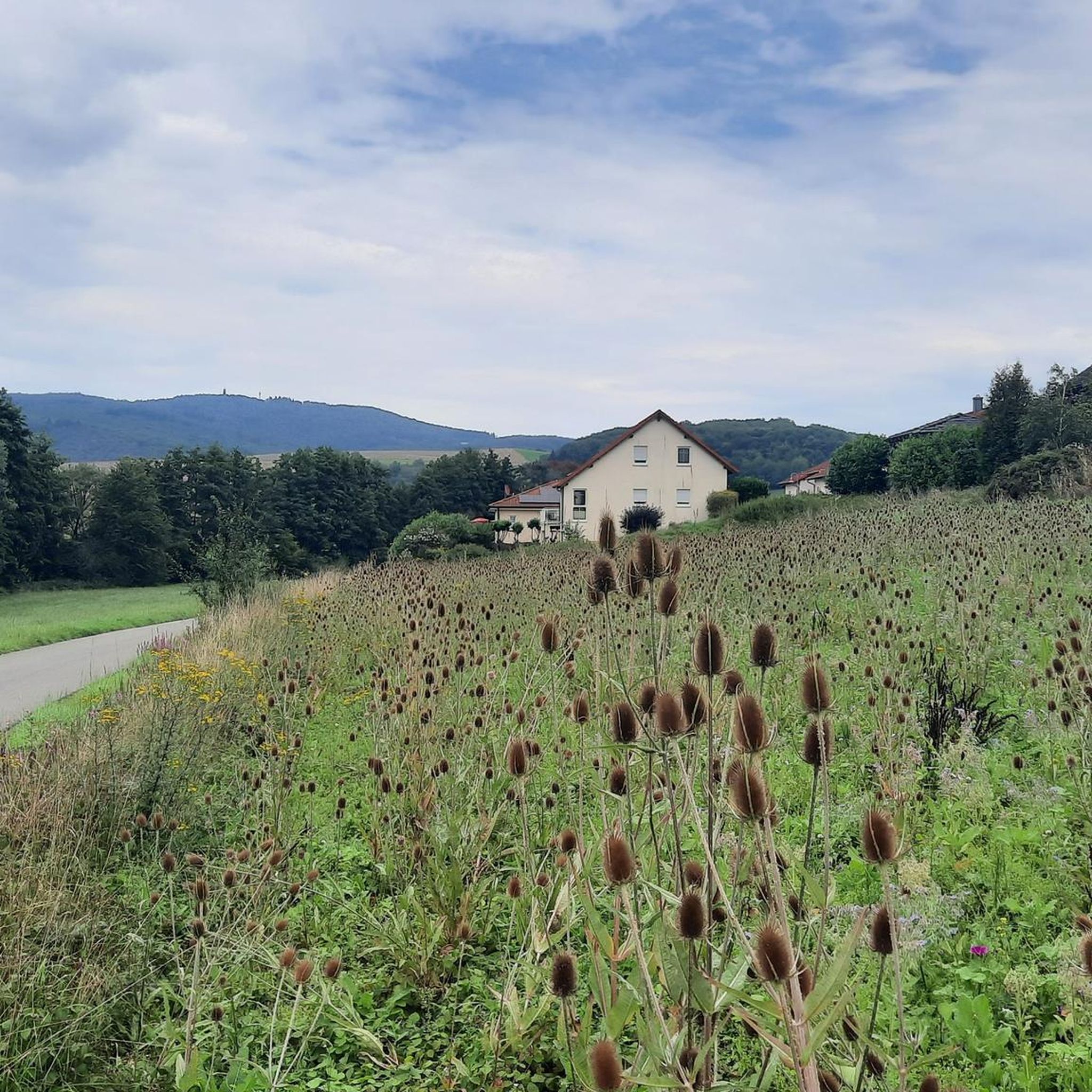
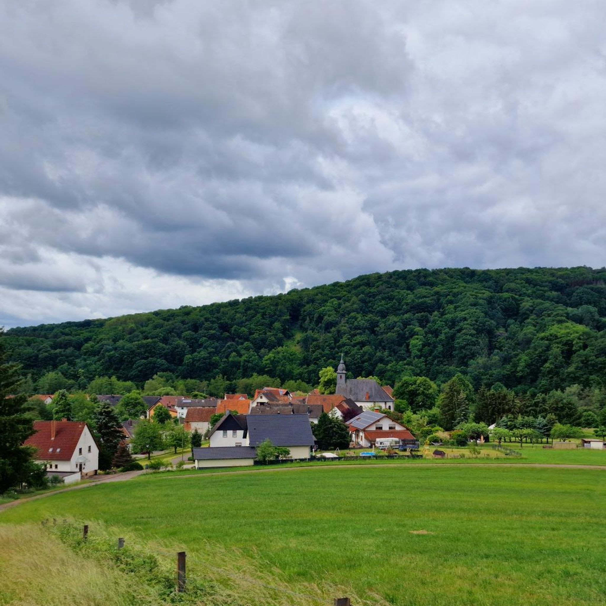
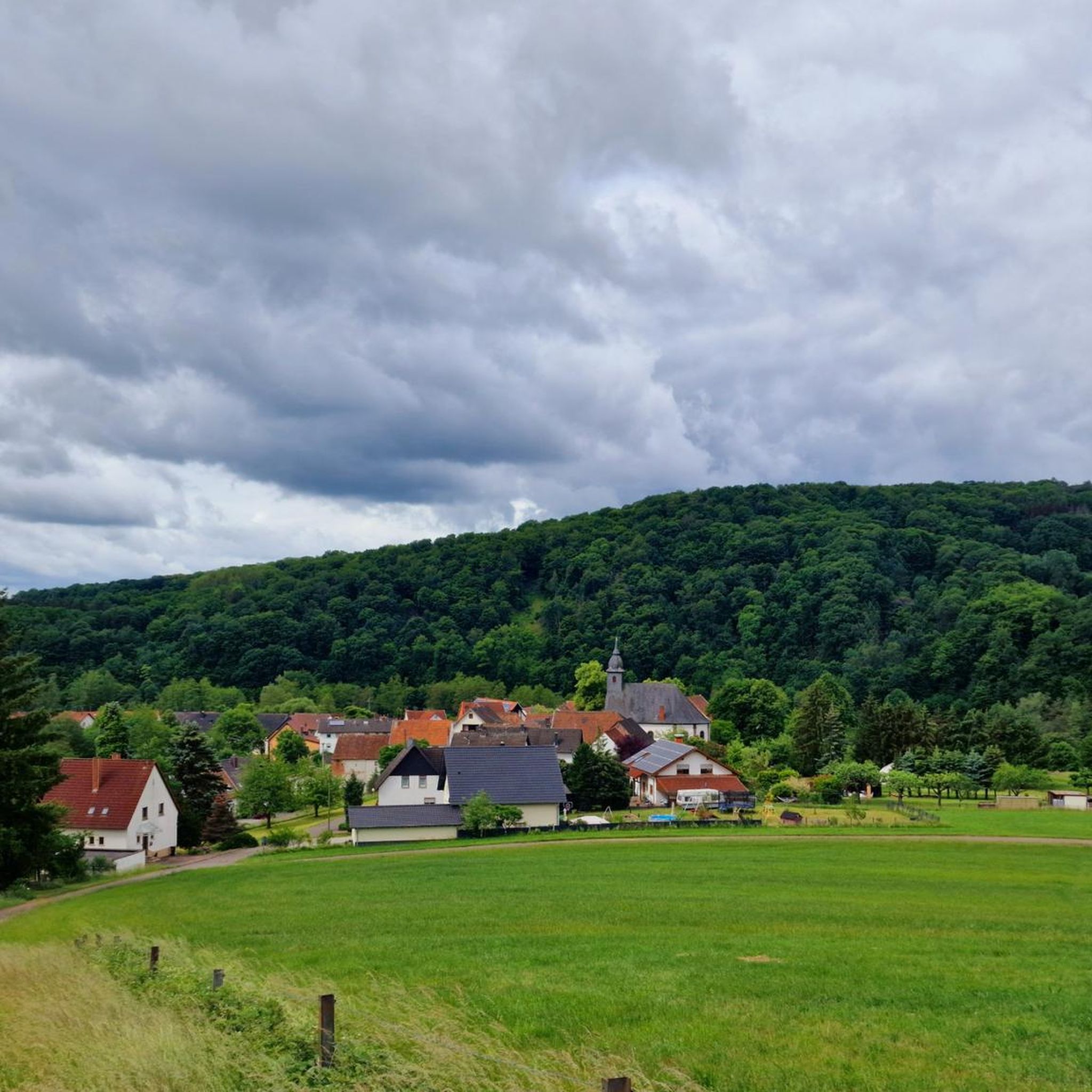

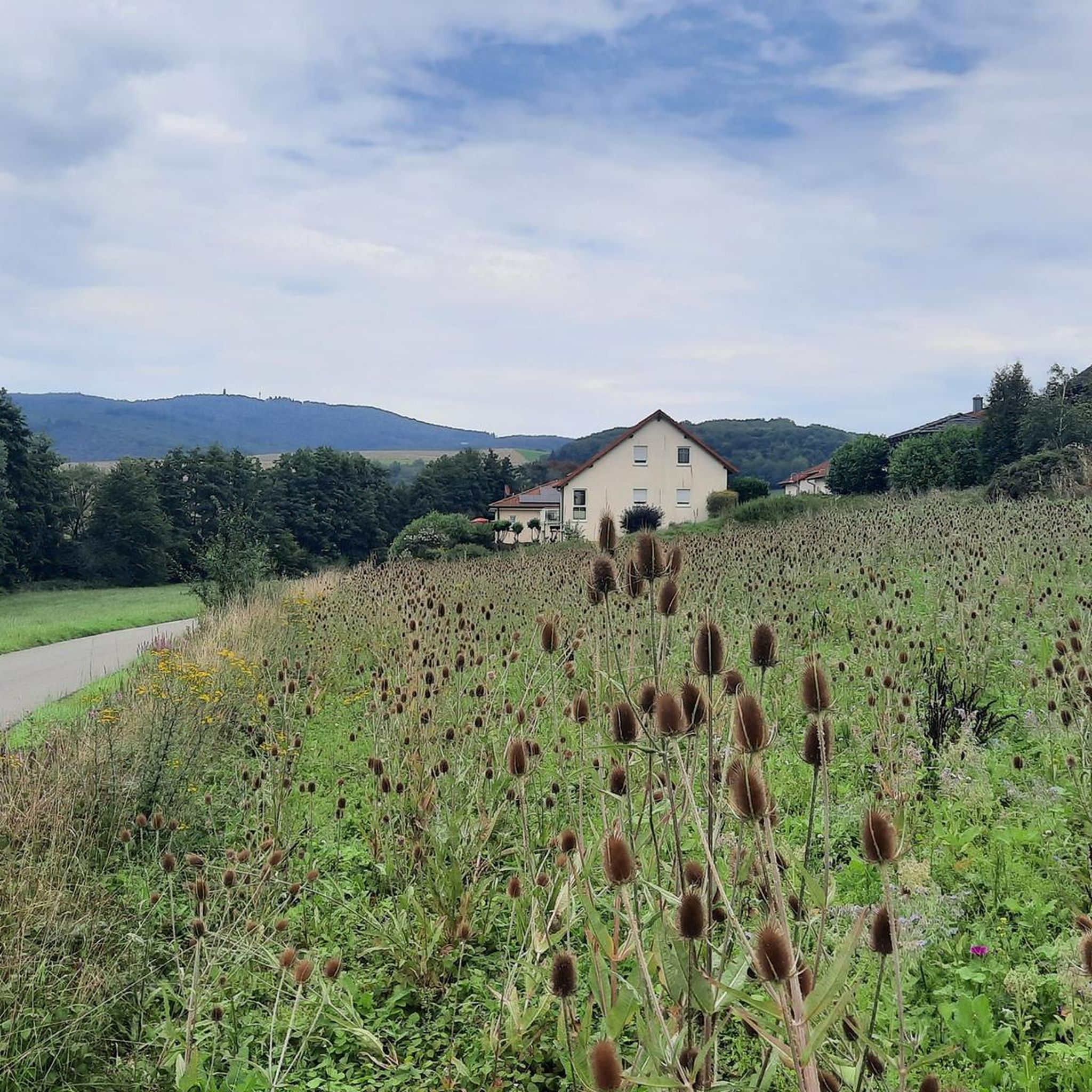
Tips from the Community

The Glan-Blies-Radweg is one of the most beautiful cycle paths in southwestern Germany. https://www.glan-blies-weg.de/
0
0
The Glan-Blies-Radweg is one of the most beautiful cycle paths in southwestern Germany. https://www.glan-blies-weg.de/
0
0

The Henschbach Valley Bridge is 390m long and was built in 1970-1971.
0
0
Glan-Münchweiler station was opened on September 22, 1868, as a through station on the Landstuhl–Kusel railway line. The station has two tracks and barrier-free access. There is a bus connection and park-and-ride facilities. At its opening, the station received a two-and-a-half-story station building, stylistically similar to those of other Palatinate railway stations built in the 1860s and 1870s. Reflecting the importance of the railway station, the gable-fronted building was relatively large. It has two and a half stories, which were originally equipped with living quarters and administrative offices. Immediately adjacent to it was a two-story goods shed, built with its eaves facing the street. The station building no longer plays a role in rail traffic. Source and more details: https://de.wikipedia.org/wiki/Bahnhof_Glan-M%C3%BCnchweiler
0
0


drives nicely, despite public road
1
0
Currently empty, no stork in the nest
1
0

Old craftsmanship
1
0
Frequently Asked Questions
How many touring cycling routes are available around Matzenbach?
Matzenbach offers a wide variety of touring cycling routes, with over 400 options recorded on komoot. These include 169 easy routes, 154 moderate routes, and 81 difficult routes, catering to all skill levels.
Are there easy touring cycling routes suitable for beginners or families?
Yes, Matzenbach has 169 easy touring cycling routes. A great option for a relaxed ride is the Glan-Münchweiler Train Station – Rehweiler Station loop from Eisenbach-Matzenbach, which is 16.9 miles (27.3 km) long and takes about 1 hour 35 minutes, passing through former railway station areas. Another easy choice is the Stork Nests in Godelhausen – View of Michelsburg loop from Eisenbach-Matzenbach, a 12.5 km route.
What are some challenging touring cycling routes in the Matzenbach area?
For experienced touring cyclists, Matzenbach offers 81 difficult routes. The Former Glan Valley Railway Track – Glantalbahn Tunnel loop from Eisenbach-Matzenbach is a demanding 74.1 miles (119.3 km) trail that includes a passage through the Glantalbahn Tunnel. Another challenging option is the Glantalbahn Tunnel – Historic Lauter Bridge loop from Eisenbach-Matzenbach, covering 52.4 miles (84.4 km) and featuring both the tunnel and the Historic Lauter Bridge.
Are there circular touring cycling routes around Matzenbach?
Many of the touring cycling routes around Matzenbach are designed as loops, allowing you to start and end at the same point. Examples include the Former Glan Valley Railway Track – Glantalbahn Tunnel loop from Eisenbach-Matzenbach and the Reichenbachtal Cycle Path – Glan Bridge loop from Eisenbach-Matzenbach.
What kind of landscapes can I expect on touring cycling routes in Matzenbach?
Touring cycling routes in Matzenbach primarily traverse the Glan Valley, featuring picturesque riverine landscapes and former railway lines converted into cycle paths. You'll experience a mix of open fields, woodlands, and areas with gentle valley floors alongside sections with moderate elevation changes.
Are there any historical sites or landmarks to see along the routes?
Yes, the region around Matzenbach is rich in historical points of interest. You can explore various castles such as Lichtenberg Castle, the Michelsburg Ruins at Remigiusberg, or Altenburg Castle Ruins (Deinsberg). Some routes also pass through former railway station areas, offering a glimpse into the region's past.
What do other touring cyclists say about the routes in Matzenbach?
The touring cycling routes in Matzenbach are highly regarded by the komoot community, holding an average rating of 4.6 stars from over 2700 reviews. More than 12,000 touring cyclists have explored the varied terrain, often praising the well-maintained paths along former railway lines and the scenic river valleys.
Are there places to stop for refreshments or rest along the way?
Yes, the area offers several huts and cabins that can serve as resting points or places for refreshments. Notable spots include Bernd's Log Cabin, Hoher Fels Mountain Inn, and the Ottilienquelle Spring and Shelter. These are often located conveniently along or near popular routes.
What is the best time of year for touring cycling in Matzenbach?
The Glan Valley and its surrounding areas are generally pleasant for touring cycling from spring through autumn. The mild weather during these seasons makes for comfortable rides, allowing you to fully enjoy the riverine landscapes and woodlands. Always check local weather forecasts before heading out.
Are there any routes that offer good viewpoints?
Many routes in the Matzenbach region provide scenic views, particularly those that ascend slightly from the valley floor. For instance, the Stork Nests in Godelhausen – View of Michelsburg loop from Eisenbach-Matzenbach offers views towards Michelsburg, providing elevated perspectives of the landscape.
Can I access touring cycling routes in Matzenbach using public transport?
Given the region's history with railway lines, some routes, like the Glan-Münchweiler Train Station – Rehweiler Station loop from Eisenbach-Matzenbach, are centered around former train stations. While direct public transport access to all trailheads might vary, these historical railway points often indicate potential access points or nearby connections.
Most popular routes around Matzenbach
Most popular attractions around Matzenbach

Get inspired with the komoot mobile app


Explore more
Browse the best Cycling routes in other regions.
