The best traffic-free bike rides around Saint-Didier-Sous-Riverie
4.6
(195)
3,778
riders
12
rides
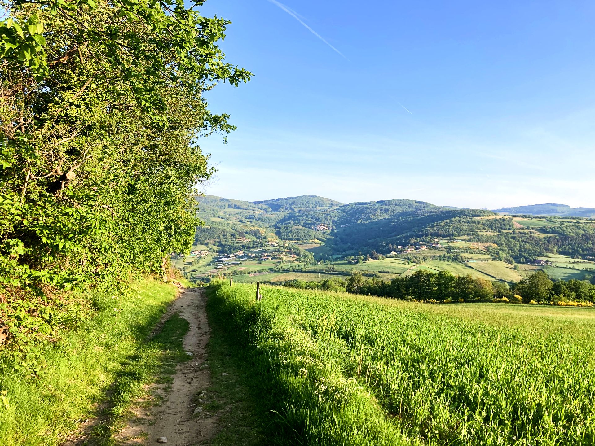
No traffic road cycling routes around Saint-Didier-Sous-Riverie traverse the varied landscapes of the Monts du Lyonnais, offering a dynamic environment for cyclists. The region features rolling hills, valleys, and lush greenery, providing both challenging climbs and enjoyable descents. Cyclists can explore small roads and rural lanes amidst farm hamlets, with elevated points offering panoramic views over the Rhône Valley and the distant Alps. The Bozançon Valley, a tributary of the Gier, also contributes to the area's natural beauty.
Best no traffic road cycling routes around Saint-Didier-Sous-Riverie
- The most popular no traffic road cycling route is Sainte Catherine – Church of Saint-André-la-Côte loop from Lamure, a 19.6 miles (31.6 km) trail that takes 1 hour 37 minutes to complete. This route offers moderate elevation changes through the Monts du Lyonnais.
- Another top favourite among local road cyclists is Sainte Catherine loop from Rive-de-Gier, a moderate 23.6 miles (37.9 km) path. This route features significant climbs and descents through scenic rural landscapes.
- Local road cyclists also love the Grenouze Pass – Pavezin Pass loop from Rive-de-Gier, a 22.3 miles (35.9 km) trail leading through the Monts du Lyonnais, often completed in about 1 hour 51 minutes.
- Road cycling around Saint-Didier-Sous-Riverie is defined by rolling hills, picturesque valleys, and rural landscapes, with options available for easy, moderate, and difficult ability levels.
- The routes in Saint-Didier-Sous-Riverie are highly rated by the komoot community with an average score of 4.6 stars from over 200 reviews. More than 3,700 road cyclists have used komoot to explore Saint-Didier-Sous-Riverie's varied terrain.
Last updated: May 23, 2026
5.0
(2)
46
riders
49.4km
02:37
930m
940m
Hard road ride. Very good fitness required. Mostly well-paved surfaces and easy to ride.
4.8
(4)
54
riders
45.3km
02:26
880m
880m
Moderate road ride. Good fitness required. Mostly well-paved surfaces and easy to ride.

Sign up for free
5.0
(1)
34
riders
42.0km
02:03
630m
630m
Moderate road ride. Good fitness required. Mostly well-paved surfaces and easy to ride.
23
riders
29.2km
01:40
610m
610m
Moderate road ride. Good fitness required. Some segments of this route may be unpaved and difficult to ride.
5.0
(1)
10
riders
75.1km
03:58
1,440m
1,430m
Hard road ride. Very good fitness required. Mostly well-paved surfaces and easy to ride.
Get access to more routes and recommendations from other explorers.
Sign up for free
Already have an account?
Our route recommendations are based on thousands of hikes, rides, and runs completed by other people on komoot.
Start today with a free account
Your next adventure awaits.
Login or Signup


Other adventures around Saint-Didier-Sous-Riverie

Tips from the Community

The Col de Pavezin is certainly not the highest, but it is no less mythical. The inventor of the derailleur, Paul de Vivié, who settled here, made it an unmissable rendezvous. The pass is located between the Rhône valley and the Gier valley, and opens up a grandiose panorama of the Alps and the Rhône furrow.
0
0

Opening hours are available on the town hall website. Check it out!
0
0


No matter which way you climb, every climb has its charm.
0
0


THE crossroads of all the walks in the area, with the little refreshing break at the inn, it's perfect (change of owner in progress, for the moment it is closed)
0
0


magnificent view of the valley and its orchards
0
0
Frequently Asked Questions
How many no-traffic road cycling routes are available around Saint-Didier-Sous-Riverie?
There are 10 dedicated no-traffic road cycling routes around Saint-Didier-Sous-Riverie, offering a variety of experiences for different skill levels.
What is the typical difficulty level of these no-traffic road cycling routes?
The majority of routes are classified as moderate, with 8 out of 10 routes falling into this category. There is also 1 easy route and 1 difficult route, ensuring options for various fitness levels.
What kind of landscapes can I expect on these routes?
You'll experience the picturesque rolling hills and valleys of the Monts du Lyonnais, characterized by lush greenery and orchards. Many routes offer panoramic views, notably over the Rhône Valley and the distant Alps from elevated points like the Signal de Saint-André.
Are there any circular no-traffic road cycling routes?
Yes, many of the routes are designed as loops, allowing you to start and finish in the same location. For example, the Sainte Catherine – Church of Saint-André-la-Côte loop from Lamure is a popular moderate option covering 31.6 km.
What historical or natural attractions can I see along the way?
The region is rich in points of interest. You can discover vestiges of the Roman Aqueduct of Gier, explore charming historical villages, or visit natural landmarks. Notable natural highlights include Le Signal de Saint André for its views and the tranquil Thurins Dam.
When is the best time of year to enjoy no-traffic road cycling in this area?
The spring (April, May, June) and autumn (September, October) months generally offer the most pleasant conditions for road cycling, with mild temperatures and beautiful scenery. The Monts du Lyonnais are particularly vibrant during these seasons.
Are there any routes suitable for families or beginners?
Yes, there is 1 easy route available, which could be suitable for families or those new to road cycling looking for a less strenuous experience. These routes often utilize small, quiet roads amidst the rural backdrop.
Where can I park my car when starting a route?
While specific parking locations vary by route, many of the loop routes start from villages like Lamure, Rive-de-Gier, or Mornant, where public parking is typically available. It's advisable to check the route details on komoot for suggested starting points and parking information.
What do other cyclists say about the no-traffic routes around Saint-Didier-Sous-Riverie?
The komoot community highly rates these routes, with an average score of 4.58 stars from over 200 reviews. Cyclists often praise the quiet roads, scenic views, and the varied terrain that offers both challenging climbs and enjoyable descents.
Can you recommend a moderate no-traffic road cycling route?
Certainly! The Grenouze Pass – Pavezin Pass loop from Rive-de-Gier is a moderate 35.9 km route with 566 meters of elevation gain, offering a rewarding ride through the Monts du Lyonnais.
Are there routes that pass through historic villages?
Yes, the region is dotted with charming historic villages and hamlets. Routes often traverse these areas, providing opportunities for cultural stops. The medieval village of Riverie, for instance, is a notable historical feature in the vicinity.
What is the longest no-traffic road cycling route available?
One of the longer options is the Grenouze Pass – Pavezin Pass loop from Trèves, which spans approximately 40.9 km and includes 666 meters of elevation gain, making it a good choice for a longer ride.
Most popular routes around Saint-Didier-Sous-Riverie
Most popular attractions around Saint-Didier-Sous-Riverie

Get inspired with the komoot mobile app


Explore more
Browse the best Road cycling routes in other regions.
