The best traffic-free bike rides around Collonges
3.8
(6)
52
riders
11
rides
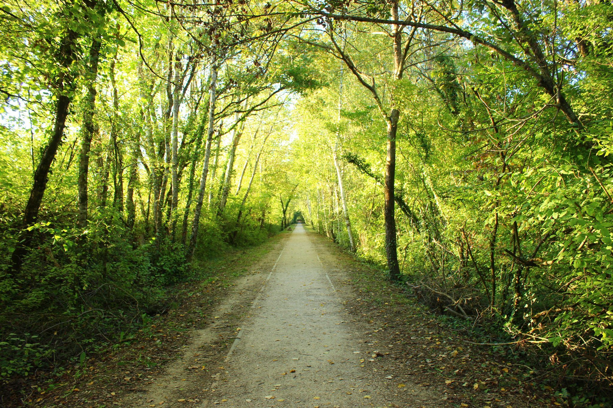
Gravel biking around Collonges offers a diverse landscape characterized by significant elevation changes and varied terrain. The region features a mix of hilly areas, forests, and open plateaus, providing a range of experiences for cyclists. Routes often include both paved and unpaved surfaces, making them suitable for no traffic gravel bike trails. This area provides opportunities for both challenging climbs and more moderate rides amidst natural beauty.
Best no traffic gravel bike trails around Collonges
- The most popular no traffic…
Last updated: October 7, 2026
3.5
(2)
16
riders
52.2km
03:31
720m
720m
Hard gravel ride. Very good fitness required. Mostly paved surfaces. Suitable for all skill levels.
4
riders
32.8km
02:20
530m
530m
Hard gravel ride. Very good fitness required. Mostly paved surfaces. Suitable for all skill levels.

3.5
(2)
6
riders
41.6km
03:06
910m
910m
Hard gravel ride. Very good fitness required. Mostly paved surfaces. Suitable for all skill levels.
5.0
(1)
5
riders
30.6km
02:11
550m
550m
Hard gravel ride. Very good fitness required. Mostly paved surfaces. Suitable for all skill levels.
3
riders
26.5km
01:47
430m
430m
Moderate gravel ride. Good fitness required. Mostly paved surfaces. Suitable for all skill levels.
Get access to more routes and recommendations from other explorers.
Already have an account?
Our route recommendations are based on thousands of hikes, rides, and runs completed by other people on komoot.
Start today with a free account
Your next adventure awaits.

Other adventures around Collonges

Tips from the Community


In my opinion, this is a terrible road for a road bike. I don't enjoy cycling back, but the "view" from my perspective isn't worth the ride, as most of it is trees and you only get a brief glimpse of the lake or the valley below, not to mention the Salève. The road is already very bad a few kilometers past Thoiry and only gets worse. I continued past the viewpoint, hoping to eventually reach a decent paved section. However, that didn't happen until the descent to Crozet. Of course, this isn't a problem on a gravel bike or mountain bike. I was glad I didn't get a flat tire.
0
0
Very beautiful view of the Geneva basin
1
0


water point
0
1

If you want to go to Mount Sion from Geneva to go to the Salève, I advise you to go through the Col de la Croix de Biche. It allows you to avoid the Annecy D1201 road, where traffic is dense and fast. Here, the road is much more peaceful.
1
0
Frequently Asked Questions
How many no-traffic gravel bike trails are available around Collonges?
There are 9 dedicated no-traffic gravel bike trails around Collonges featured in this guide. These routes offer a mix of moderate and difficult options, ensuring a suitable ride for various skill levels.
What kind of terrain can I expect on no-traffic gravel trails in Collonges?
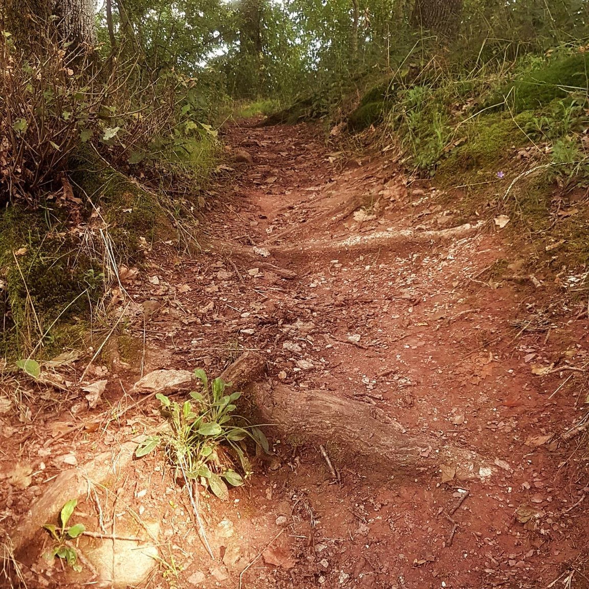
The terrain varies significantly depending on the specific Collonges location. Around Collonges-sous-Salève, expect mountainous, rugged beauty with challenging climbs and significant elevation gains, often featuring a mix of paved and unpaved surfaces. In contrast, Collonges-la-Rouge offers a greener, hilly landscape with country lanes, walnut groves, and wild plateaus, characterized by its unique red sandstone geology. Both areas provide scenic, traffic-free experiences.
Are there any circular no-traffic gravel routes in the Collonges area?
Yes, many of the no-traffic gravel routes around Collonges are circular. For instance, the challenging View of the Rhône – View of Geneva loop from La Plaine offers a substantial ride, while the Château de Cartigny – Cartigny Village loop from Cartigny provides a moderate circular option.
What are some interesting natural attractions to see along the no-traffic gravel trails?
You can discover several natural attractions. The Vuache Trail – Borbannaz Waterfall loop from Savigny will lead you to the Borbannaz Waterfall. Other highlights in the broader area include the Pertes de la Valserine waterfall and various lakes like Lac de la Gravière de Sous Conflans and Étang de la Touvière.
Are there any historical or cultural landmarks accessible by no-traffic gravel routes?
Absolutely. If you're exploring near Collonges-la-Rouge, the village itself is a medieval marvel with red sandstone architecture, castles, and fortified towers. While not directly on a gravel route in this guide, the Château de Cartigny – Cartigny Village loop from Cartigny offers a moderate ride through a charming area. You can also find the Border Marker No. 1 – Westernmost Point of Switzerland along some routes.
What is the difficulty level of the no-traffic gravel trails around Collonges?
The trails range from moderate to difficult. This guide features 5 moderate and 4 difficult routes. Difficult trails, especially around Collonges-sous-Salève, can involve significant elevation gains and rugged sections, while moderate options offer a more relaxed, yet still engaging, experience.
What do other gravel bikers say about the no-traffic trails in Collonges?
The komoot community rates the no-traffic gravel trails around Collonges highly, with an average score of 4.0 stars. Reviewers often praise the stunning panoramic views, the quiet and diverse landscapes, and the opportunity to explore both mountainous terrain and picturesque villages away from traffic.
Are there any long-distance no-traffic gravel routes for experienced riders?
Yes, for experienced riders looking for a longer challenge, the View of the Rhône – View of Geneva loop from La Plaine is a difficult route spanning over 52 km with significant elevation, offering a rewarding long-distance, traffic-free gravel experience.
Can I find routes that offer views of the Rhône valley?
Yes, several routes provide excellent views of the Rhône valley. The ViaRhôna Vulbens-Seyssel – View of the Rhône valley loop from Valleiry is a difficult route specifically designed to showcase these scenic vistas. Additionally, the View of the Rhône highlight is accessible from some trails.
Are there any no-traffic gravel routes suitable for families or beginners?
While this guide features primarily moderate to difficult routes, the moderate trails, such as the Château de Cartigny – Cartigny Village loop from Cartigny, can be more approachable. For very easy, family-friendly options, consider exploring the flatter sections of the Ain region, which offers extensive networks of trails, some of which are gentle and in cool undergrowth, though not specifically detailed in this Collonges guide.
What is the best time of year for gravel biking in Collonges?
The best time for gravel biking in Collonges generally depends on the specific location and your preference. Spring and autumn offer pleasant temperatures and beautiful scenery, with vibrant flora in spring and rich colors in autumn. Summer can be warm, especially in the valleys, but higher elevation routes around Collonges-sous-Salève might offer cooler conditions. Winter can be challenging due to snow and ice, particularly in mountainous areas.
Most popular attractions around Collonges

Get inspired with the komoot mobile app


Explore more
Browse the best Gravel rides in other regions.
