The best traffic-free bike rides around Châtillon-En-Michaille
4.5
(125)
2,284
riders
17
rides
No traffic road cycling routes around Châtillon-En-Michaille traverse a diverse landscape characterized by rolling hills, extensive forests, and numerous water features. The region's elevation, ranging from 373 to 1,241 meters, provides varied terrain suitable for road cycling, including both moderate ascents and descents. Cyclists encounter picturesque lakes, deep valleys, and mountain passes, offering a range of challenges and scenic viewpoints. This area, part of the Ain department, is shaped by its proximity to the Jura Massif, contributing to its distinct…
Last updated: May 23, 2026
4.6
(7)
50
riders
41.9km
02:07
640m
640m
Moderate road ride. Good fitness required. Mostly well-paved surfaces and easy to ride.
51
riders
57.5km
02:34
590m
590m
Moderate road ride. Good fitness required. Mostly well-paved surfaces and easy to ride.

Sign up for free
4.0
(2)
23
riders
56.7km
03:33
1,460m
1,460m
Hard road ride. Very good fitness required. Some segments of this route may be unpaved and difficult to ride.
18
riders
106km
05:47
2,100m
2,100m
Hard road ride. Very good fitness required. Mostly well-paved surfaces and easy to ride.
3.0
(1)
9
riders
91.3km
05:01
1,840m
1,840m
Hard road ride. Very good fitness required. Mostly well-paved surfaces and easy to ride.
Get access to more routes and recommendations from other explorers.
Sign up for free
Already have an account?
Our route recommendations are based on thousands of hikes, rides, and runs completed by other people on komoot.
Start today with a free account
Your next adventure awaits.
Login or Signup
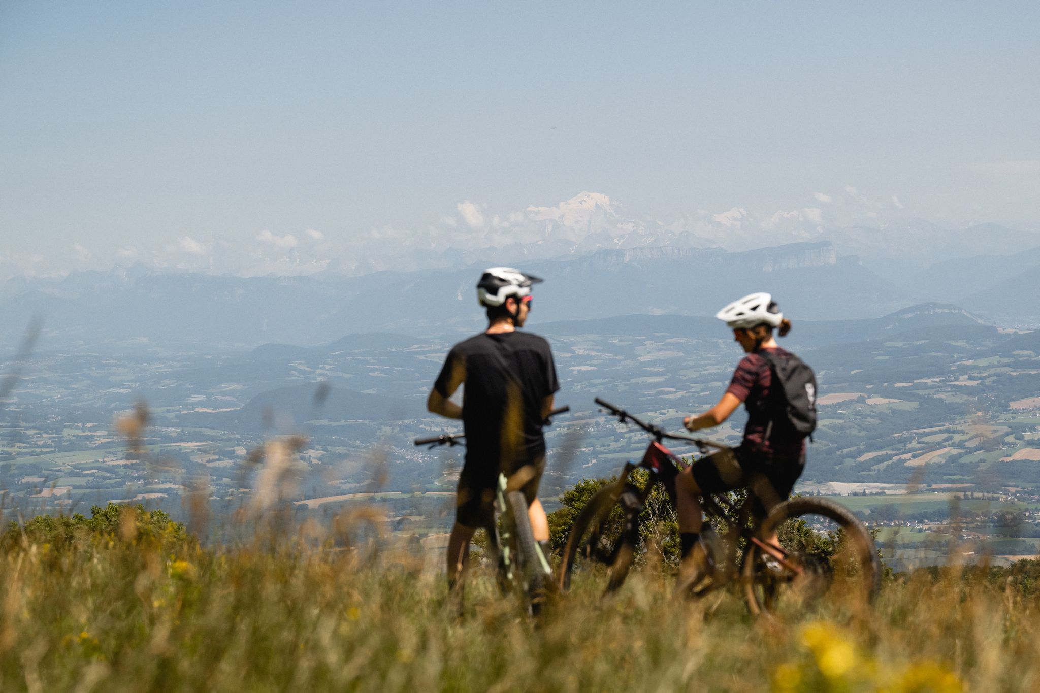
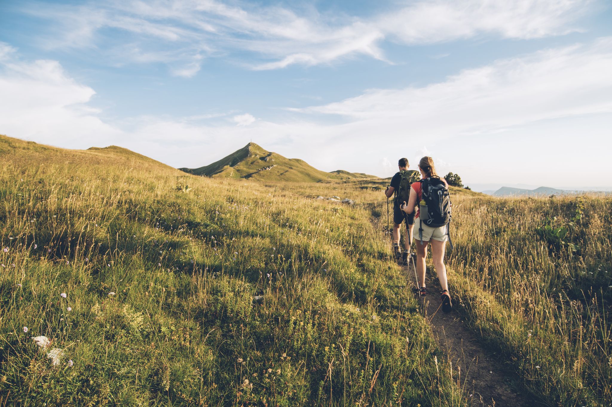




Tips from the Community

Nestled in pastures at an altitude of 1,000 meters, Giron is the highest (and sunniest!) village in the Ain. Welcoming, with breathtaking views, it is ideal for an overnight stop.
0
0

The Avouzon fountain in the commune of Crozet. Unfortunately, it is marked "non-potable water."
0
0


beautiful pass, quite rolling especially through St Germain de Joux, a little tougher on the Saint Claude side. lots of writing on the ground since the Tour de France passed through.
0
0

A road with views of the Jura, Geneva, Mont Blanc, and Salève, right in the heart of the Pays de Gex. I even happened to spot deer at the edge of the woods.
0
0

Frequently Asked Questions
How many no-traffic road cycling routes are available in Châtillon-En-Michaille?
There are 13 dedicated no-traffic road cycling routes around Châtillon-En-Michaille, offering a variety of distances and difficulty levels for a peaceful ride.
What kind of terrain can I expect on these no-traffic road cycling routes?
The region around Châtillon-en-Michaille features diverse terrain, from rolling hills and lakeside paths to more challenging mountain passes. You'll find routes with moderate ascents and descents, catering to various fitness levels. The area's elevation ranges from 373 to 1,241 meters, providing varied landscapes.
Are there any easy no-traffic road cycling routes suitable for beginners?
Yes, there is one easy route available. For a gentle ride, consider the Lake Genin – Lake Genin loop from Saint-Amand, which is just over 12 km long and offers minimal elevation gain.
What are some challenging no-traffic road cycling routes for experienced cyclists?
For a more demanding experience, you can tackle routes like the Étang des Alliettes – Grand Colombier Summit loop from Haut Valromey, which covers over 56 km with significant elevation gain, or the extensive Étang de Lalleyriat – Col de la Cheminée loop from Le Poizat-Lalleyriat, spanning over 91 km with substantial climbing.
What natural features or landmarks can I see along the no-traffic road cycling routes?
Many routes offer scenic views of lakes and forests. You might encounter natural sites like Lake Genin or ride through the stunning Valserine Gorges. The region is also known for its panoramic viewpoints, such as the Belvédères de Châtillon en Michaille, offering views of the Valserine and Semine valleys.
Are there any mountain passes accessible on these routes?
Yes, the region is known for its mountain passes. Some routes incorporate climbs over cols like the Menthières Pass, which is part of the Valserine Gorges – Menthières Pass loop from Montanges. Other passes in the area include Col de Bérentin and Cuvéry Pass, offering challenging ascents and rewarding views.
What is the best season for no-traffic road cycling in Châtillon-En-Michaille?
The region is beautiful throughout the warmer months. Spring and autumn offer pleasant temperatures and stunning natural scenery, especially in autumn when the extensive forests of beech, oak, and maple trees display vibrant colors. Summer is also popular, but be prepared for potentially warmer weather, especially on longer routes.
Are there circular no-traffic road cycling routes available?
Yes, many of the routes are designed as loops, allowing you to start and end at the same point. For example, the Plateau de Belle combe – La Pesse loop from Giron is a moderate circular route covering nearly 47 km.
What do other road cyclists enjoy most about the no-traffic routes in Châtillon-En-Michaille?
The komoot community highly rates the cycling experience in this area, with an average score of 4.4 stars. Reviewers often praise the peaceful, car-free nature of the routes, the diverse and scenic landscapes, and the rewarding climbs over mountain passes.
Is there parking available near the starting points of these routes?
While specific parking details for each route vary, Châtillon-en-Michaille and surrounding villages typically offer public parking options. It's advisable to check local parking availability in the specific starting village for your chosen route.
Can I access these routes using public transport with my bike?
Public transport options in the rural Ain department can be limited, especially for carrying bikes. While some regional buses might accommodate bikes, it's best to verify with local transport providers in advance. Driving to the starting points is often the most convenient option for cyclists.
Are there any cafes or places to stop for refreshments along these routes?
Many routes pass through or near small villages where you can find local cafes, bakeries, or small shops for refreshments. The region also offers opportunities to discover local producers. Planning your stops in advance, especially on longer routes, is recommended.
Most popular routes around Châtillon-En-Michaille
Most popular attractions around Châtillon-En-Michaille

Get inspired with the komoot mobile app


Explore more
Browse the best Road cycling routes in other regions.
