The best MTB trails around Martinstein
4.9
(96)
245
riders
29
rides
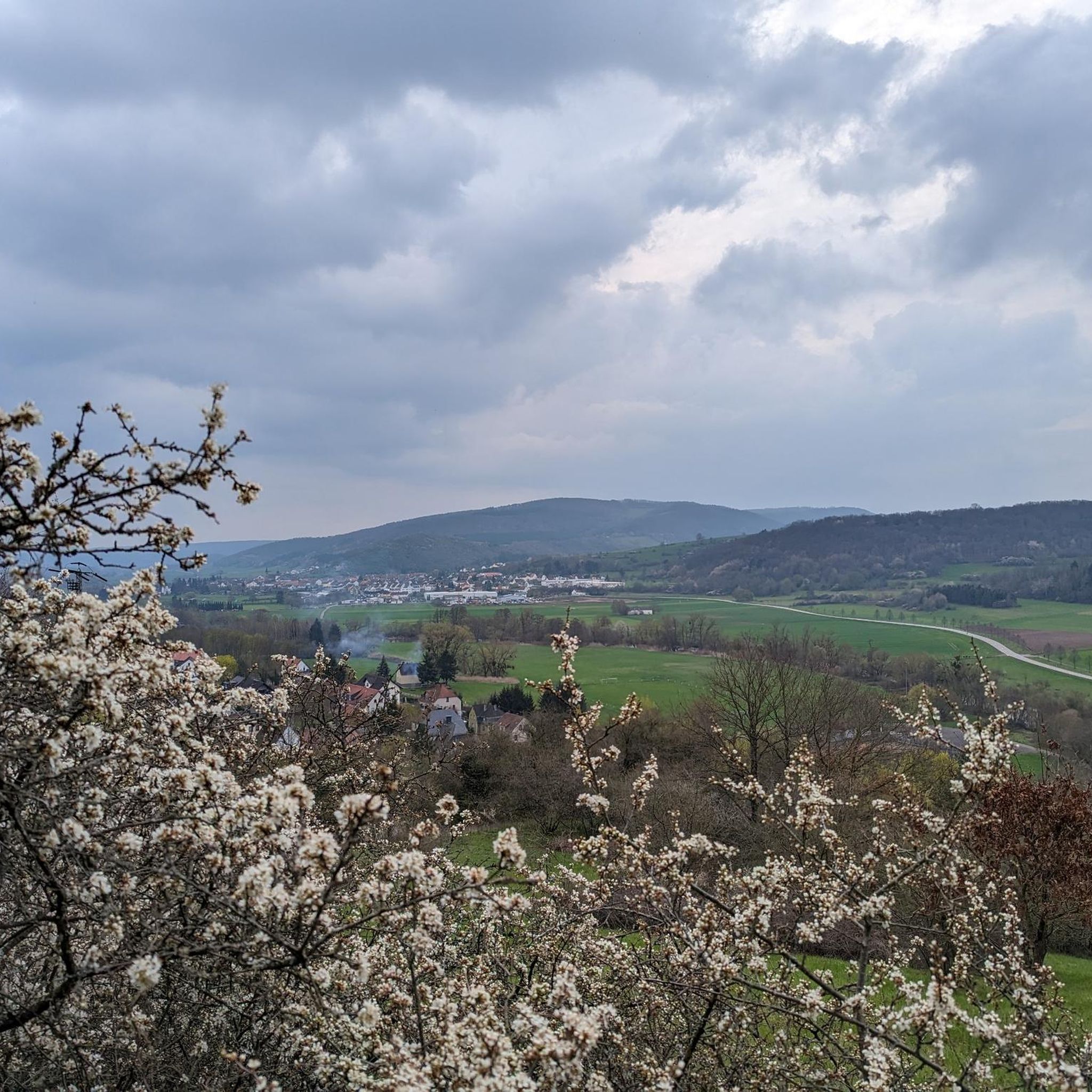
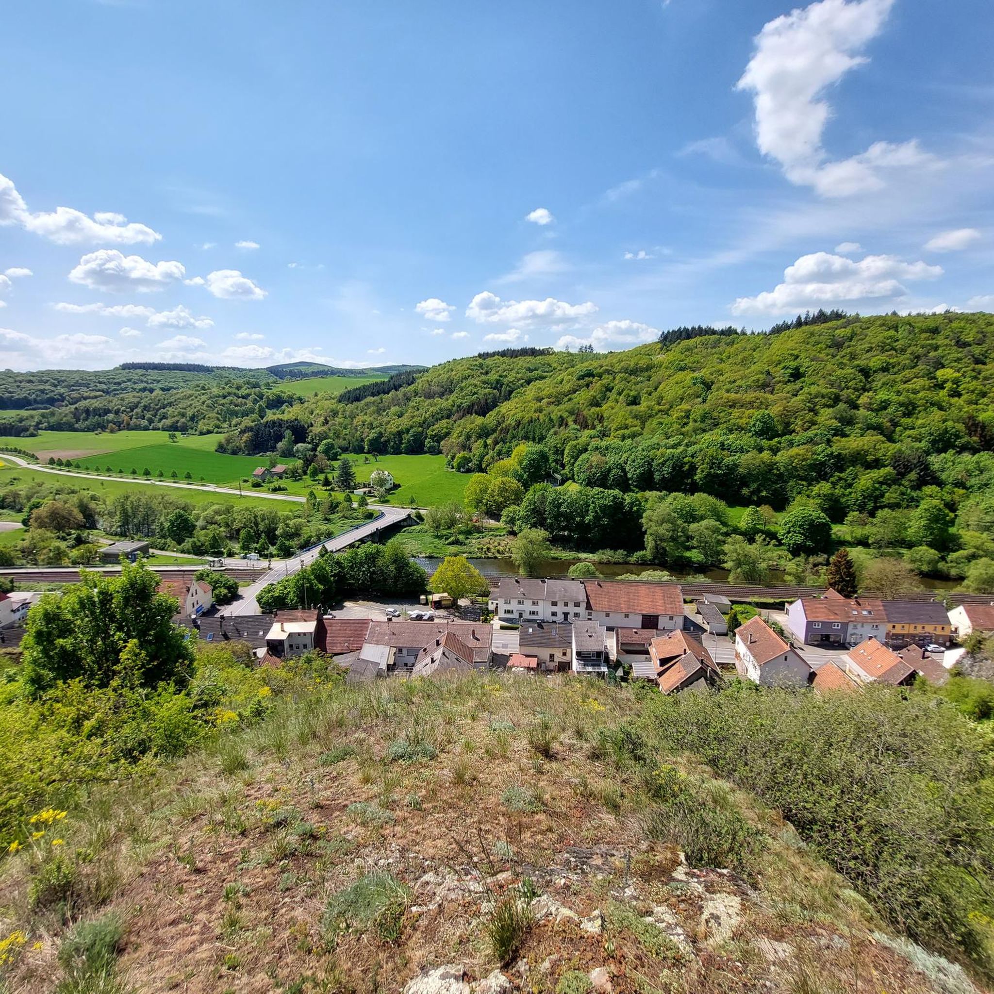
Mountain biking around Martinstein features varied terrain, positioned between the Hunsrück and North Palatine Uplands, with the Nahe River flowing nearby. The region is characterized by rolling hills, dense forests, and river valleys, providing a diverse landscape for mountain bike trails. Its location offers access to the wider Hunsrück-Nahe region's developing trail networks and the established mountain biking infrastructure in the nearby Bad Kreuznach district.
Best mountain bike trails around Martinstein
- The most popular mountain bike trail is Nahe Bridge…
Last updated: October 31, 2026
4.7
(15)
41
riders
37.4km
02:06
180m
180m
Moderate mountain bike ride. Good fitness required.
4.7
(7)
24
riders
37.2km
02:00
130m
130m
Moderate mountain bike ride. Good fitness required.

4.8
(6)
16
riders
18.4km
01:26
290m
290m
Moderate mountain bike ride. Advanced riding skills necessary.
5.0
(10)
17
riders
Easy mountain bike ride.
4.6
(5)
13
riders
32.1km
03:02
730m
730m
Hard mountain bike ride. Good fitness required. Advanced riding skills necessary. Some portions of the route may require you to push your bike.
Get access to more routes and recommendations from other explorers.
Already have an account?
Our route recommendations are based on thousands of hikes, rides, and runs completed by other people on komoot.
Start today with a free account
Your next adventure awaits.

Tips from the Community

The idyllic historic complex is called Stadtmühle (not Schöneberger Mühle) and is picturesquely situated on the Mühlengraben directly on the Naheradweg between Bad Sobernheim and Meddersheim.
0
0

No idea why the hut is supposed to be called Friedenseiche. I only found the Hubertus-Eiche next to it and the place is named after the former city forester Karl Storck.
0
0
Very impressive church. Since there was a service going on, we didn't look inside.
1
0

There is so much to discover here!
0
0

Fountain figure "Saint George"; bronze, around 1910, sculptor Hugo Cauer, Bad Kreuznach
1
0

A very beautiful trail that everyone involved put a lot of effort into. It's quite challenging in the upper part, but very flowing further down.
0
0

Although I believe the entire trail is marked on Komoot, I have only added pictures of the upper section, in keeping with the name and description. It is indeed more natural and technical than the lower section. Difficulty: S2. As far as Komoot says S3, that is not correct. The key point comes right at the beginning, is short and can also be pushed. Later on, the trail becomes much easier.
1
0
The Devils Rock Trail in Hennweiler takes its name from the "Devil's Rock", near which it starts. After a pleasant uphill and an entertaining traverse on trails to the starting point, there is a brilliant firework display of obstacles on the trail, which cleverly exploits the characteristics of the terrain. In the steeper initial section, things get a bit technical right from the start (S2, the Komoot rating of S3 is exaggerated), including a somewhat cheesy but fun short steep descent, rocky terrain steps and some roots. Later, the forest becomes a bit lighter and a whole battery of jumps follows - some with, some without gaps, so that beginners will also find what they are looking for here. Now that the terrain is noticeably flatter, the trail builders have built a crushed sand line in the forest: It sounds strange, but it works so brilliantly that this section may even have become our favorite part (although every section is simply brilliant!). The smooth crushed sand surface means you can roll along quickly and easily even on very flat terrain, and you can shoot over small and large jumps and push yourself through minimalist but perfectly shaped berms. We should also mention the beautiful skinny constructions that can be found all over the trail, which we had a lot of fun with. Overall, a real gem of a trail that, with its many different faces, not only makes perfect use of the terrain, but is guaranteed to have something to suit every taste! Great! 😊🤙
1
0
Frequently Asked Questions
Where is Martinstein located, and what kind of landscape can I expect for mountain biking?
Martinstein is nestled in Rhineland-Palatinate, Germany, strategically positioned between the Hunsrück and North Palatine Uplands, with the Nahe River flowing nearby. This location offers a diverse landscape of rolling hills, dense forests, and picturesque river valleys, providing varied terrain for mountain biking.
How many mountain bike trails are available around Martinstein?
There are over 25 mountain bike trails around Martinstein, catering to various skill levels. The komoot community has explored these routes extensively, contributing to an average rating of 4.9 stars.
What types of terrain will I encounter on mountain bike trails near Martinstein?
Mountain bike trails around Martinstein feature a mix of terrain, including flowing routes, challenging root sections, and gravel fields. You'll ride through forests, meadows, and along mountain paths, often incorporating rock formations and varied surfaces typical of the Hunsrück and Nahe Valley regions.
Are there any family-friendly mountain bike trails in the Martinstein area?
Yes, the region offers several routes suitable for families. For example, the Nahe Bridge at Ölmühle – Most Beautiful Wine View Nahe 2016 loop from Martinstein is a moderate 15-mile trail that offers scenic views of the Nahe River and wine-growing areas, making it enjoyable for a family outing.
Can I bring my dog on the mountain bike trails around Martinstein?
Many trails in the Hunsrück-Nahe region are dog-friendly, but it's always recommended to check specific trail regulations. Generally, dogs are welcome on natural paths, provided they are kept under control, especially in wildlife areas or near livestock. The varied terrain offers plenty of opportunities for you and your canine companion to enjoy the outdoors.
What interesting landmarks or viewpoints can I see along the mountain bike routes?
The trails often pass by significant historical sites and offer scenic viewpoints. You might encounter Dhaun Castle, a prominent landmark, or the Koppenstein Tower and Ruins, which offer panoramic views of the Hunsrück plateau. The View from Römerweg – Dhaun Castle loop from Martinstein is one such route that combines historical sights with scenic vistas.
Are there any circular mountain bike routes starting from Martinstein?
Yes, many routes around Martinstein are designed as loops. A popular option is the Dhaun Castle – Wooden Bridge Over the Ravine loop from Martinstein, a moderate 11.5-mile path that takes you through varied forest and ravine scenery. Another is the View from Hellberg – Hellberg Trail loop from Martinstein, a more challenging 20.8-mile trail.
What is the best time of year to go mountain biking in Martinstein?
The spring, summer, and autumn months generally offer the best conditions for mountain biking in Martinstein. Spring brings lush greenery, while autumn provides vibrant foliage. Summers are usually pleasant, though it's always wise to check local weather forecasts. Winter riding is possible but may involve colder temperatures and potentially snow or ice on higher elevation trails.
Are there options for advanced mountain bikers seeking a challenge?
Absolutely. For experienced riders, trails like the Wooden Bridge Over the Ravine – Brunkenstein Ruins loop from Martinstein offer a more demanding experience. This difficult 26.6-kilometer route features significant elevation changes, with over 760 meters of ascent, providing a substantial workout and technical sections.
What are the parking and public transport options for accessing mountain bike trails near Martinstein?
While specific parking details for individual trailheads vary, Martinstein's central location in the Nahe Valley means that many routes are accessible from the municipality itself or nearby towns. Public transport connections in the wider Rhineland-Palatinate region can also facilitate access, though direct access to remote trailheads might require a car. It's advisable to check local transport schedules and parking availability for your chosen starting point.
What do other mountain bikers enjoy most about the trails in Martinstein?
The area is highly rated by the komoot community, with an average score of 4.9 stars from over 60 reviews. Mountain bikers frequently praise the varied terrain, the scenic views of the Nahe River and surrounding landscapes, and the well-maintained paths that cater to different skill levels. The combination of natural beauty and diverse riding experiences is often highlighted.
Most popular routes around Martinstein
Most popular attractions around Martinstein

Get inspired with the komoot mobile app


Explore more
Browse the best MTB trails in other regions.
