The best traffic-free bike rides around Püttlingen
4.4
(1212)
6,657
riders
186
rides
No traffic touring cycling routes around Püttlingen are situated in Germany's Saarland region, primarily within the scenic Köller Valley. The area is characterized by a well-developed network of cycling paths, often following former railway lines and riverbanks like the Köllerbach stream. The landscape transitions from tranquil valleys to the varied terrain of the Warndt forest region, featuring both airy heights and shady valleys. Cyclists can also find panoramic views from elevated points such as the former Viktoria mine slag heap.
…Last updated: November 3, 2026
4.5
(2)
34
riders
78.9km
04:49
410m
410m
Moderate bike ride. Good fitness required. Mostly paved surfaces.
4.7
(26)
76
riders
40.7km
02:24
230m
230m
Moderate bike ride. Good fitness required. Mostly paved surfaces.

4.6
(9)
58
riders
27.6km
01:39
190m
190m
Moderate bike ride. Good fitness required. Mostly paved surfaces.
4.7
(9)
34
riders
Easy bike ride. Mostly paved surfaces.
4.7
(11)
41
riders
Easy bike ride. Mostly paved surfaces.
Get access to more routes and recommendations from other explorers.
Already have an account?
Our route recommendations are based on thousands of hikes, rides, and runs completed by other people on komoot.
Start today with a free account
Your next adventure awaits.
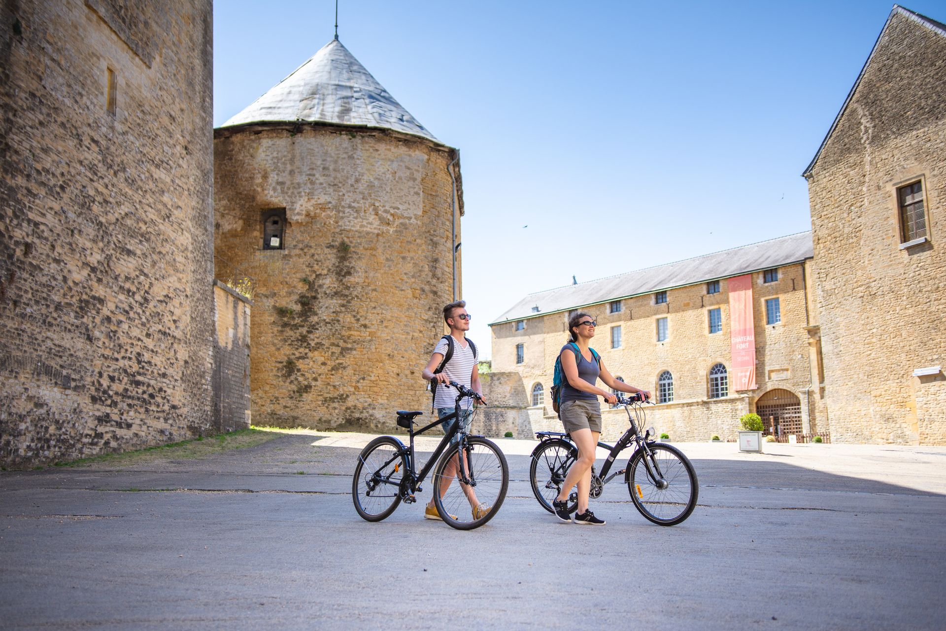
Other adventures around Püttlingen

Tips from the Community

Here the canal is led over the river!
0
0

Unfortunately, closed on Sundays and public holidays between 2:00 PM and 5:00 PM 😒
0
0
Unfortunately, closed on Sundays and public holidays between 2:00 PM and 5:00 PM😒
0
0

Here the canal was led across a river by means of a bridge
0
0
You encounter the Maginot Line's bunkers along the entire route to Basel. All bunkers are oriented to the east and were intended to be a defensive line against the Germans.
0
0


The Maginot Line: The French Wall | ARTE https://youtu.be/Bvtxa08ysgc For those who want to know more about the Maginot Line: de.wikipedia.org/wiki/Liste_der_Ouvrages_der_Maginot-Linie
1
0

On the old Roman road, now transformed into a cycle path, three crosses bring two local legends to life. To learn more, you'll have to lift your foot to read the information panel. The site was rehabilitated in 2007.
0
0
Frequently Asked Questions
How many traffic-free touring cycling routes are available around Püttlingen?
There are over 175 dedicated traffic-free touring cycling routes around Püttlingen, offering a wide range of options for all skill levels. You'll find 52 easy routes, 81 moderate, and 42 more challenging options to explore the picturesque Saarland region.
What kind of terrain can I expect on the no-traffic touring cycling routes near Püttlingen?
The routes around Püttlingen offer varied terrain. Many follow former railway lines, like the Köllertal Cycle Path, providing relatively flat and smooth surfaces along the Köllerbach stream. However, as you venture into the Warndt forest region, expect more dynamic landscapes with 'airy heights and shady valleys,' featuring constant ascents and descents that add an engaging challenge to your ride.
Are there any family-friendly traffic-free cycling routes in Püttlingen?
Yes, Püttlingen offers several family-friendly traffic-free routes, particularly those following the flat, well-maintained paths of former railway lines. These routes are generally safe and enjoyable for cyclists of all ages. An example of an easy route is the Sailing Club Saar Grounds loop from Rémering-lès-Puttelange, which is just under 10 km long.
What are the best times of year to go touring cycling in Püttlingen?
April and August are particularly popular months for cycling in Püttlingen, offering pleasant weather conditions. The region's deciduous forests also make autumn a beautiful time to visit, with vibrant colors enhancing the scenic routes. While cycling is possible year-round, spring and autumn provide comfortable temperatures and stunning natural beauty.
What interesting landmarks or natural features can I see along the routes?
Many routes offer scenic views and access to local attractions. You can cycle along the idyllic Köllerbach Stream, explore the tranquil Köllertalaue floodplain, or visit historical sites like the Püttlingen Castle and Hexenturm in the town center. The former Viktoria mine slag heap also provides a spectacular panoramic view of the entire region, stretching all the way to France.
Are there any routes that pass by lakes or water features?
Absolutely. The region around Püttlingen is known for its 'picturesque location on the banks of the Köllertalsperre,' an idyllic lake landscape. Several routes will take you past beautiful water features, including the Lower Hoste Pond, Étang de Diebling, and Diefenbach Pond, offering serene views and pleasant stops.
Where can I find parking for these traffic-free cycling routes?
Parking is generally available at various access points to the cycling network, especially near trailheads and larger towns. For routes like the Köllertal Cycle Path, you can often find designated parking areas in towns along its course, such as Püttlingen itself or Völklingen, making it convenient to start your ride.
Can I access these routes using public transport with my bike?
The region has a well-developed public transport network. While specific rules for bike carriage on buses and trains can vary, the integration of the Köllertal Cycle Path into the broader regional cycling network, connecting to the Saar Cycle Path, suggests good accessibility. It's advisable to check local public transport provider websites for current regulations regarding bicycle transport.
What do other touring cyclists enjoy most about the routes around Püttlingen?
The area is highly rated by the komoot community, with an average score of 4.5 stars. Reviewers often praise the extensive network of well-maintained, traffic-free paths, the diverse natural landscapes ranging from tranquil valleys to panoramic viewpoints, and the historical attractions that add cultural interest to their rides.
Are there any longer, moderate traffic-free touring routes available?
Yes, for those seeking a longer adventure, there are many moderate routes. An example is the Ligne Maginot aquatique (boucle sud), which spans nearly 79 km with moderate elevation changes, offering a full day of cycling through varied scenery.
Are there cafes or picnic spots along the traffic-free cycling routes?
Yes, many routes, especially those passing through towns or popular natural areas, offer opportunities for refreshments. You'll find cafes and restaurants in Püttlingen and other villages along the paths. Additionally, the numerous nature parks and scenic spots, such as the Köllertalaue, provide ideal locations for a picnic amidst nature.
Most popular attractions around Püttlingen

Get inspired with the komoot mobile app


Explore more
Browse the best Cycling routes in other regions.
