The best traffic-free bike rides around Neuweiler
4.5
(345)
12,734
riders
134
rides
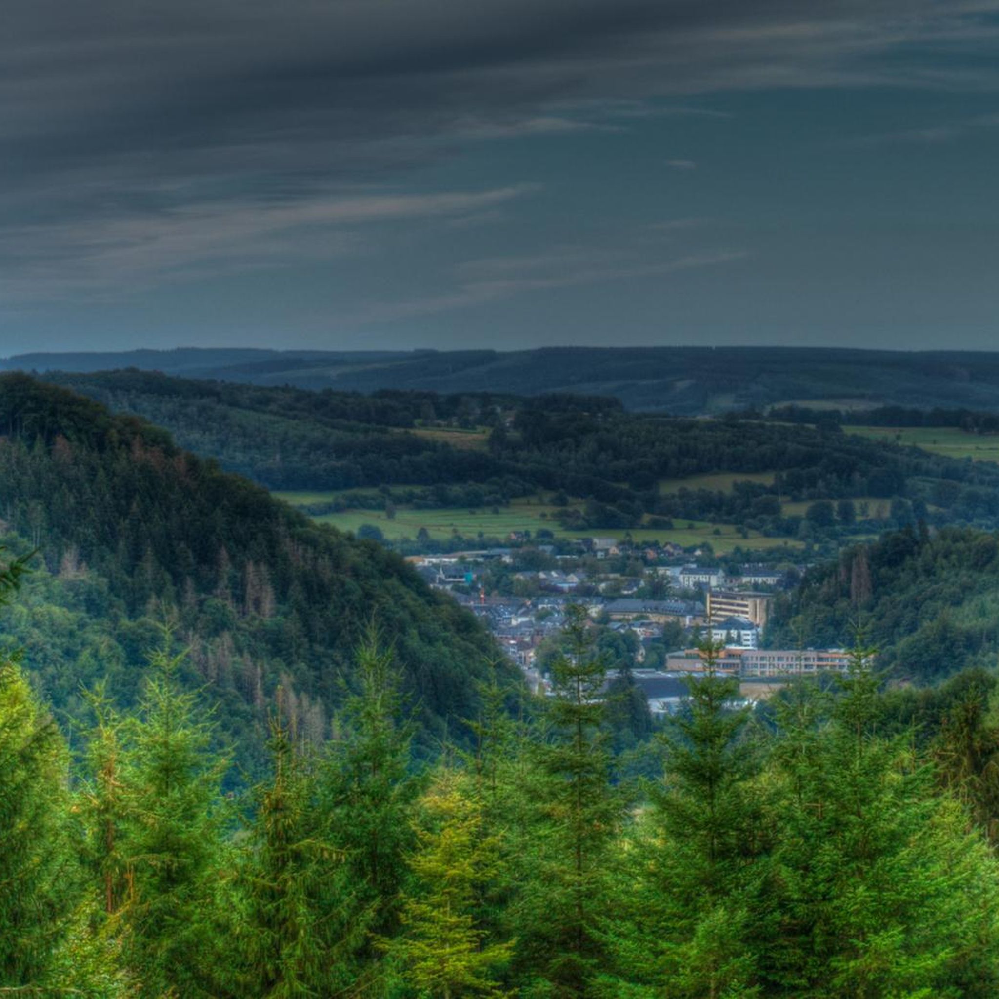
No traffic road cycling routes around Neuweiler navigate a diverse landscape within the Northern Black Forest, situated on a plateau between the Nagold and Enz rivers. The terrain features elevations ranging from 450 to 760 meters, offering a mix of ascents and descents. The region is characterized by extensive forests, green meadows, and rolling hills, with nearly 80% of Neuweiler's area being forested. Cycling routes often follow river valleys and traverse undulating topography, providing varied riding experiences.
Best no traffic…
Last updated: July 30, 2026
4.7
(7)
79
riders
Easy road ride. Great for any fitness level. Mostly well-paved surfaces and easy to ride.
5.0
(1)
20
riders
Easy road ride. Great for any fitness level. Mostly well-paved surfaces and easy to ride.

Sign up for free
4.0
(1)
25
riders
70.8km
03:34
950m
950m
Hard road ride. Very good fitness required. Mostly well-paved surfaces and easy to ride.
5.0
(2)
13
riders
31.0km
01:19
170m
170m
Easy road ride. Great for any fitness level. Mostly well-paved surfaces and easy to ride.
5.0
(1)
18
riders
68.6km
03:04
490m
490m
Moderate road ride. Good fitness required. Mostly well-paved surfaces and easy to ride.
Get access to more routes and recommendations from other explorers.
Sign up for free
Already have an account?
Our route recommendations are based on thousands of hikes, rides, and runs completed by other people on komoot.
Start today with a free account
Your next adventure awaits.
Login or Signup
Popular around Neuweiler

Tips from the Community

The Thur rises in the Vosges at the foot of the Ballon d'Alsace and flows for around 53 kilometers through Alsace. It passes through picturesque towns such as Thann and Cernay before flowing into the Ill near Ensisheim. The river shapes the landscape, nature, and recreation alike.
1
0

The cycle path along the canal is superbly maintained and runs through beautiful countryside. However, the starting and finishing points near Bourgogne and Bretagne raise geographical questions as to whether one is still truly in Alsace...
0
0
Although the cycle path doesn't lead directly through nature, but more or less along the main road, it is nevertheless very well developed!
0
0
Here too, the cycle path leads right through beautiful nature, is actually superbly developed, currently (early 2026) still through a construction site at the very beginning, a bit bumpy but still great, without motor traffic!
0
0
As is often the case in France, the well-developed cycle path here leads right through beautiful countryside – completely separated from motorized traffic. That's how it should be done!
0
0

Loop Loop completed with our travel gravel bikes, on one day without luggage. A quick stop in Delle for a very good kebab.
0
0

There are also toilets and a water point
0
0

No idea why I didn't write anything about this...🤔😅
0
1
Frequently Asked Questions
How many no-traffic road cycling routes are available around Neuweiler?
There are over 130 dedicated no-traffic road cycling routes around Neuweiler, offering a wide range of options for cyclists looking for peaceful rides. These routes are specifically curated to minimize encounters with vehicle traffic, allowing for a more serene cycling experience.
What kind of terrain can I expect on no-traffic road cycling routes in Neuweiler?
The region around Neuweiler, nestled in the Northern Black Forest, offers diverse terrain. You'll find routes ranging from gentle rides through river valleys like the Nagold and Enz, to more challenging ascents on rolling hills and plateaus with elevations up to 760 meters. Most routes feature mostly paved surfaces, ensuring a smooth ride through mountainous forests and green meadows.
Are there easy no-traffic road cycling routes suitable for beginners or families in Neuweiler?
Yes, Neuweiler offers a good selection of easy no-traffic road cycling routes. With 43 routes classified as 'easy', beginners and families can enjoy scenic rides without significant elevation challenges. These routes are perfect for a relaxed outing, allowing you to soak in the beautiful Black Forest scenery.
What are some of the most scenic viewpoints along no-traffic road cycling routes in Neuweiler?
While cycling around Neuweiler, you can discover breathtaking distant views of the Black Forest and the Swabian Alb from locations like the Naturpark-AugenBlick in Agenbach and Oberkollwangen. The region's undulating topography ensures many rewarding vistas along your ride.
What do other road cyclists enjoy most about no-traffic cycling in Neuweiler?
The no-traffic road cycling routes around Neuweiler are highly rated by the komoot community, with an average score of 4.6 out of 5 stars from over 280 reviews. Cyclists often praise the peacefulness of the routes, the stunning Black Forest landscapes, and the varied terrain that caters to different fitness levels.
Are there any circular no-traffic road cycling routes available?
Many of the no-traffic road cycling routes around Neuweiler are designed as loops, allowing you to start and end your ride at the same point. For example, you could explore routes like the Memorial to the fallen 🕊️ – Place d'Armes, Belfort loop from Montreux-Vieux, which offers a moderate challenge and a rewarding circular journey.
Can I find routes with significant elevation gain for a more advanced cycling experience?
Absolutely. For advanced cyclists seeking a challenge, Neuweiler's mountainous terrain provides routes with significant elevation gains. There are 9 routes classified as 'difficult', and many moderate routes also feature strenuous climbs. An example is the Hundsruck – Roading - Guewenheim loop from Montreux-Vieux, which includes over 800 meters of elevation gain.
What natural attractions can I see near the no-traffic road cycling routes?
The Neuweiler area is rich in natural beauty. You can explore the Falchenwiesen and Köllbach valley nature reserves, or visit the idyllic Wildsee Raised Bog with its unique ecosystem. The source of the Teinach river is also located within a nature reserve in Neuweiler, offering peaceful spots to discover.
Are there any historical sites or landmarks to visit along the routes?
While cycling, you might encounter various points of interest. For example, the Citadel of Belfort is a notable historical site in the broader region. Other landmarks include the Fort de Vézelois and the impressive Citadel of Belfort and Lion of Belfort.
What is the typical duration of no-traffic road cycling routes in Neuweiler?
The duration of routes varies significantly. You can find shorter, easy rides perfect for a couple of hours, as well as longer, more challenging tours that can take five hours or more. For instance, the Allenjoie lock intersection – Étupes Lock on the EV6 loop from Bretagne is an easy route that takes just over an hour, while others can extend your adventure.
Are there any specific river valleys that no-traffic road cycling routes follow?
Yes, many routes utilize the scenic river valleys in the region. Neuweiler is situated on a plateau between the Nagold and Enz rivers, and you'll find routes that follow these valleys, as well as the Kleine Enz and Teinach river valleys, offering picturesque and often gentler gradients for cycling.
Most popular attractions around Neuweiler

Get inspired with the komoot mobile app


Explore more
Browse the best Road cycling routes in other regions.
