The best traffic-free bike rides around Prémilhat
3.0
(2)
33
riders
18
rides
Gravel biking around Prémilhat offers diverse landscapes within the Allier department of Auvergne-Rhône-Alpes, France. The area is characterized by scenic routes around the Étang de Sault, providing waterside views and varied terrain. Further opportunities for no traffic gravel bike trails are found in the expansive Forêt de Tronçais, known for its oak trees and extensive gravel tracks. The broader region also includes sections of the Via Allier cycle route, which features traffic-free greenways suitable for gravel bikes.
Best no traffic…
Last updated: May 22, 2026
9
riders
62.6km
04:29
760m
760m
Hard gravel ride. Very good fitness required. You may need to push your bike for some segments of this route.
3.0
(1)
9
riders
40.7km
02:48
440m
440m
Hard gravel ride. Good fitness required. You may need to push your bike for some segments of this route.

Sign up for free
3.0
(1)
5
riders
39.9km
02:44
470m
470m
Hard gravel ride. Very good fitness required. Mostly paved surfaces. Suitable for all skill levels.
4
riders
28.5km
01:59
300m
300m
Moderate gravel ride. Good fitness required. Mostly paved surfaces. Suitable for all skill levels.
4
riders
63.9km
04:20
700m
700m
Hard gravel ride. Very good fitness required. You may need to push your bike for some segments of this route.
Get access to more routes and recommendations from other explorers.
Sign up for free
Already have an account?
Our route recommendations are based on thousands of hikes, rides, and runs completed by other people on komoot.
Start today with a free account
Your next adventure awaits.
Login or Signup
Popular around Prémilhat
Tips from the Community

nice bowl for me
0
0
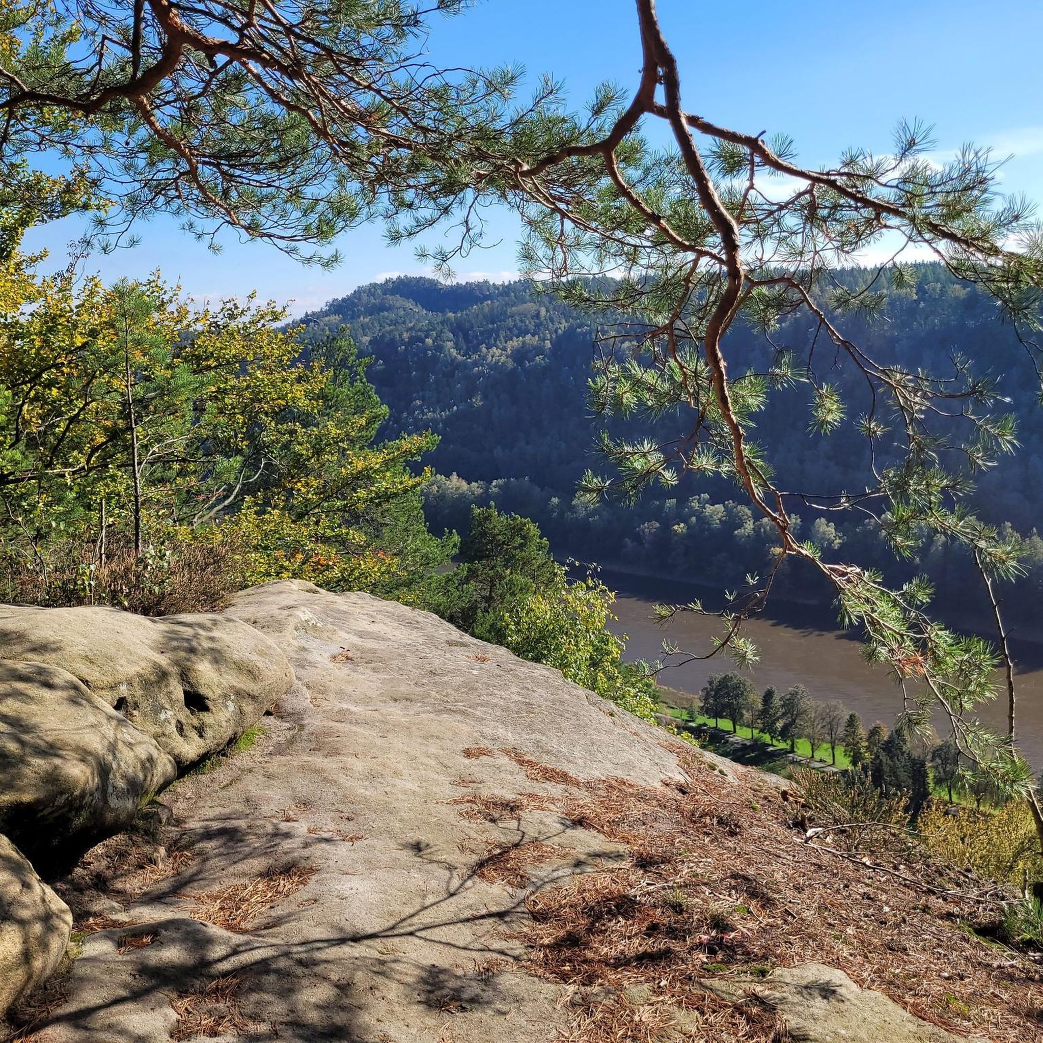
The highest point in Quinssaines. Beautiful viewpoint, with a pretty little church, and a lovely park for children just behind.
0
0

Beautiful photos but no longer relevant as the pond has been dry for two years.
0
0

The Romanesque church of Huriel, built in the 12th century, was once the seat of a priory dependent on the powerful Abbey of Déols, a Cluniac monastery in Berry. Built of Jarges granite, it blends Auvergne influences with its superb octagonal bell tower with blind arcades, reminiscent of those of major churches such as Saint-Nectaire or Saint-Saturnin.
0
0

Magnificent view of the region!
0
0
And yes! It is at the very back in the clear part of the sky...!
0
0
In the distance, the Combrailles and the Auvergne
0
0
Frequently Asked Questions
How many no traffic gravel bike trails are there around Prémilhat?
There are 14 dedicated no traffic gravel bike trails around Prémilhat, offering a variety of experiences for cyclists looking to explore the region's natural beauty away from cars.
What is the best time of year for gravel biking in Prémilhat?
The region around Prémilhat, with its diverse landscapes including the Étang de Sault and Forêt de Tronçais, is generally pleasant for gravel biking from spring through autumn. These seasons offer mild weather and vibrant scenery, ideal for enjoying the traffic-free routes. Winter cycling is also possible, but be prepared for colder temperatures and potentially wet conditions on some tracks.
Are there any challenging no traffic gravel routes in Prémilhat?
Yes, for those seeking a challenge, there are several difficult routes. For example, the Huriel – The old mill of Sault loop from La Ville-Gozet covers over 62 km with significant elevation gain, providing a demanding ride through varied terrain.
What kind of natural landmarks can I expect to see along the gravel trails?
Many routes offer scenic views of natural landmarks. You'll frequently encounter the beautiful Étang de Sault, a large lake perfect for waterside cycling. Other routes might take you near the Cournauron pond or along the Cher River, offering diverse natural scenery.
Are there any family-friendly no traffic gravel trails in the area?
While many routes are rated moderate to difficult, the general character of the region, with its quiet country roads and greenways, makes it suitable for families. Look for shorter, flatter sections, especially around the Étang de Sault, which often have well-compacted surfaces. Always check the route details for distance and elevation to ensure it matches your family's capabilities.
Where can I find parking for traffic-free gravel biking in Prémilhat?
Parking is generally available near popular starting points, especially around the Étang de Sault. For routes starting from Montluçon, you can often find parking within the city, which is just 6 kilometers from Prémilhat. Always check local signage for specific parking regulations.
Can I reach the gravel trails using public transport?
Prémilhat is well-connected to Montluçon, which serves as a regional hub. While direct public transport to every trail start might be limited, you can often use public transport to reach Montluçon and then cycle a short distance to access many of the routes. The region is actively promoting cycling, so options are improving.
What do other gravel bikers enjoy most about gravel biking in Prémilhat?
The komoot community rates the area highly, with an average score of 3.0 stars. Reviewers often praise the unspoiled nature, the tranquility of the routes, and the diverse landscapes, especially around the Étang de Sault and the extensive Forêt de Tronçais, which provide a true escape from traffic.
Are there any loop gravel bike trails around Prémilhat?
Yes, many of the no traffic gravel routes are designed as loops, allowing you to start and end at the same point. An example is the Croix des Oyaroux – Sault Pond loop from Lavault-Sainte-Anne, which offers a moderate 32 km ride around the scenic Sault Pond.
Are there any beginner-friendly no traffic gravel bike trails in Prémilhat?
While many routes are moderate to difficult, beginners can find suitable sections, particularly around the Étang de Sault where paths are often flatter and well-maintained. For a slightly longer but still accessible option, consider parts of the Sault Pond – The old mill of Sault loop from Montluçon-Ville, focusing on the less hilly segments.
Are there places to eat or drink along the no traffic gravel trails?
While the trails themselves are often in natural, traffic-free areas, you'll find amenities in nearby towns and villages. Montluçon, just 6 km from Prémilhat, offers numerous cafes and restaurants. Smaller villages along some routes may also have local establishments, but it's always wise to carry snacks and water, especially on longer rides.
What kind of elevation gain can I expect on these routes?
The elevation gain varies significantly depending on the route. For instance, a challenging route like the Pont Romain de Courtioux – Huriel loop from La Ville-Gozet features nearly 700 meters of ascent over its 63 km distance, while other routes around the lakes might be flatter. Always check the route details for specific elevation profiles.
Most popular attractions around Prémilhat

Get inspired with the komoot mobile app


Explore more
Browse the best Gravel rides in other regions.
