The best walks and hikes around Maroggia
4.5
(6684)
38,534
hikers
649
hikes
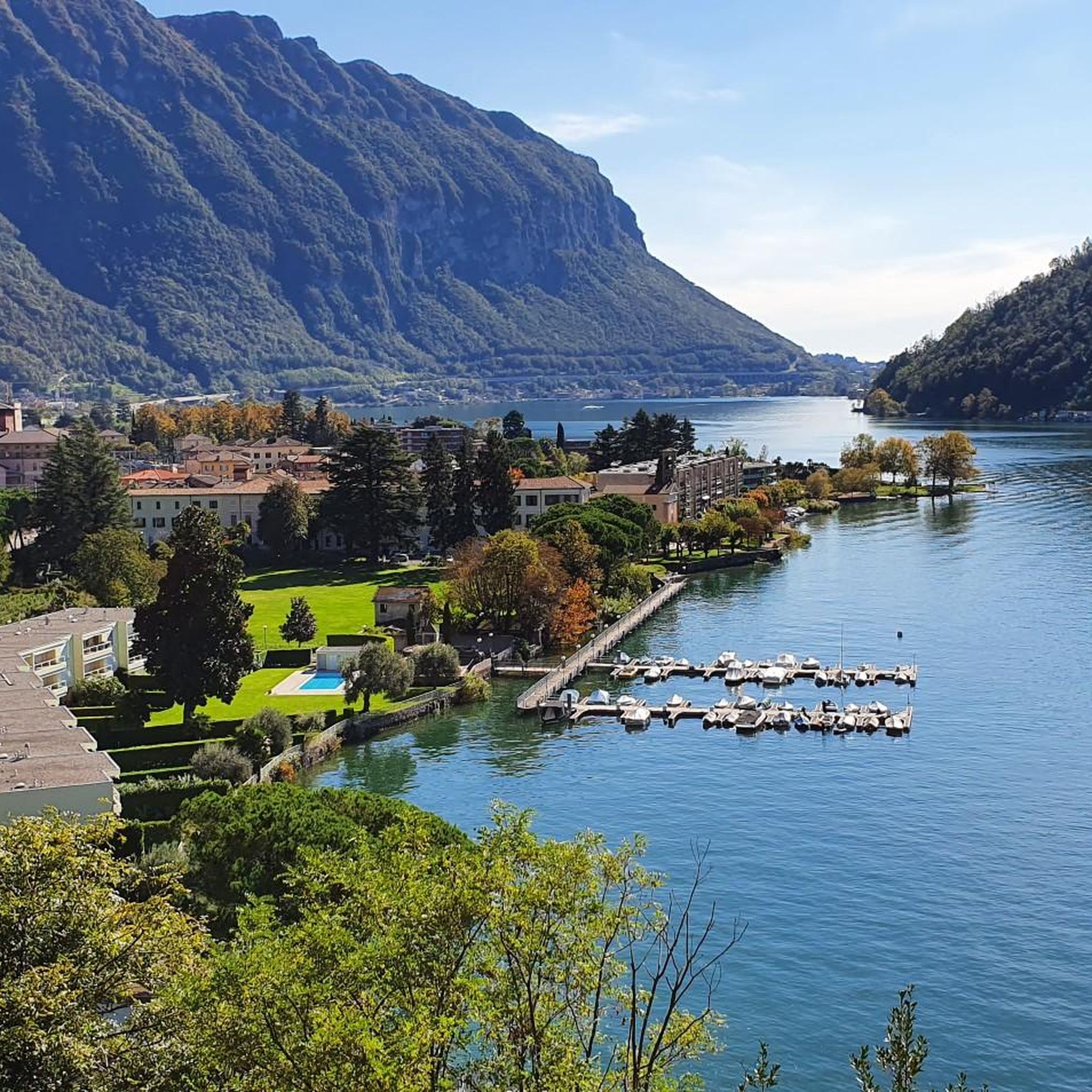
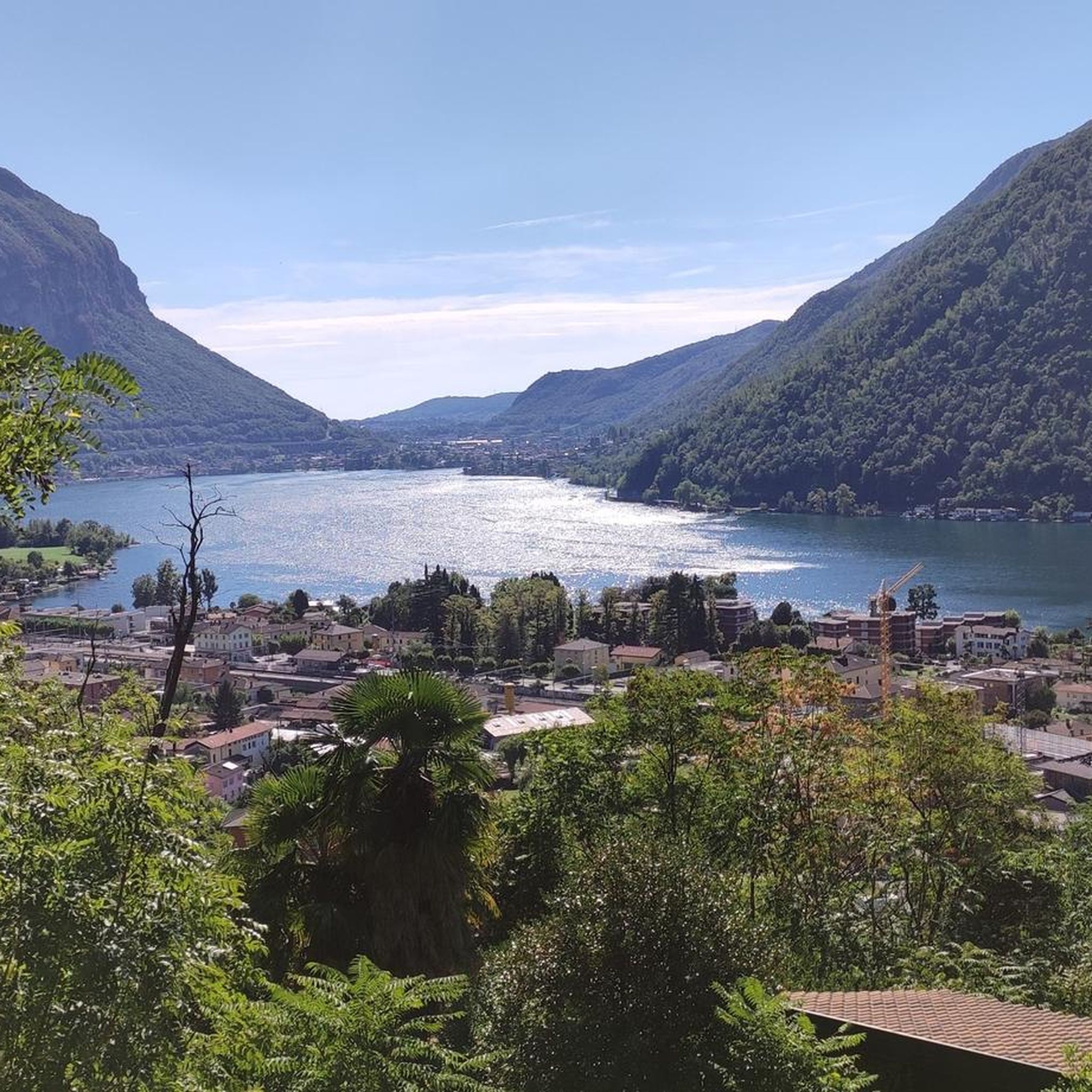
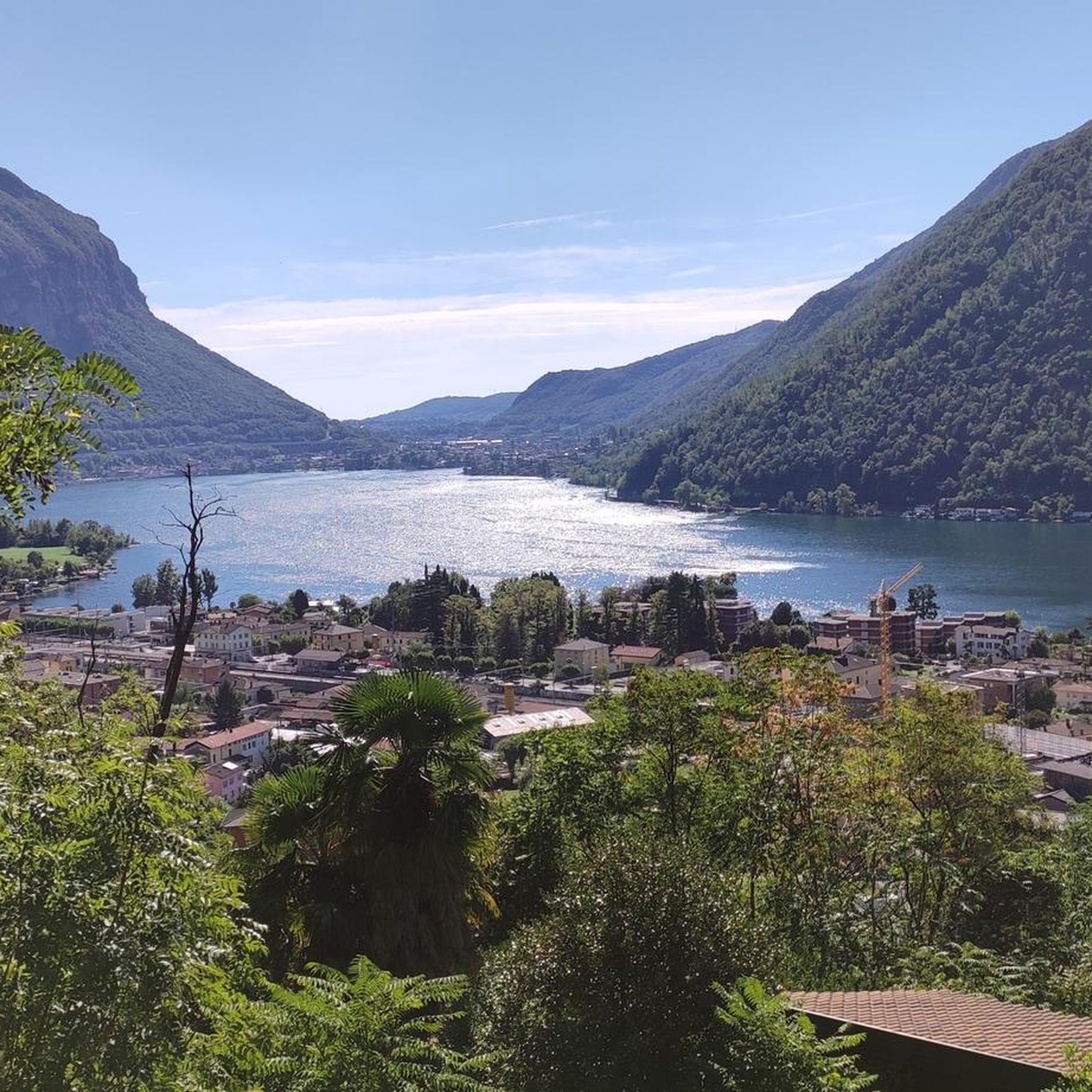
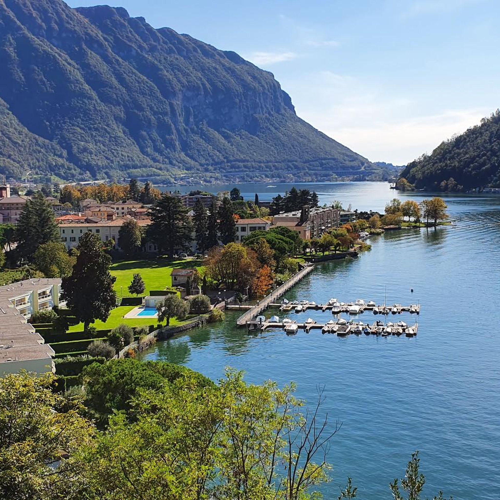
Hiking around Maroggia offers diverse landscapes on the picturesque shores of Lake Lugano in Ticino, Switzerland. The region features a blend of pre-Alpine mountains, green hills, and valleys, with prominent peaks like Monte Generoso and Monte San Giorgio providing expansive views. Trails often lead through varied terrain, including lakeside paths and routes to natural features such as the Botto Waterfall. This area provides a wide range of hiking experiences for different skill levels.
Best hiking trails around Maroggia
- The most popular hiking route is View from Monte Generoso – Monte Generoso loop from Val Mara, a 11.4 miles (18.4 km) trail that takes 8 hours to complete. This difficult route offers expansive views of the main lakes and the Alpine range.
- Another top favourite among local hikers is Botto Waterfall – Former Steam-Powered Silk Mill of Melano loop from Maroggia-Melano, a moderate 6.1 miles (9.9 km) path. This trail features the Botto Waterfall and passes by historical sites.
- Local hikers also love the Botto Waterfall – Chapel of St. Roch loop from Val Mara, a 3.4 miles (5.5 km) trail leading through Val Mara and featuring the Botto Waterfall, often completed in about 1 hour 55 minutes.
- Hiking around Maroggia is defined by Lake Lugano shores, mountain summits, and waterfalls, with trails winding through pre-Alpine mountains and green valleys. The network offers options for different ability levels, from moderate walks to challenging mountain treks.
- The routes in Maroggia are highly rated by the komoot community with an average score of 4.6 stars from over 5,600 reviews. More than 36,000 hikers have used komoot to explore Maroggia's varied terrain.
Last updated: October 4, 2026
4.7
(16)
153
hikers
18.7km
08:06
1,240m
1,240m
Hard hike. Very good fitness required. Mostly accessible paths. Sure-footedness required.
4.7
(18)
96
hikers
Moderate hike. Good fitness required. Mostly accessible paths. Sure-footedness required.

4.7
(10)
54
hikers
5.47km
01:56
250m
250m
Moderate hike. Great for any fitness level. Mostly accessible paths. Sure-footedness required.
5.0
(9)
59
hikers
6.61km
02:35
380m
380m
Moderate hike. Good fitness required. Mostly accessible paths. Sure-footedness required.
4.8
(13)
68
hikers
7.32km
03:03
460m
460m
Moderate hike. Good fitness required. Mostly accessible paths. Sure-footedness required.
Get access to more routes and recommendations from other explorers.
Already have an account?
Our route recommendations are based on thousands of hikes, rides, and runs completed by other people on komoot.
Start today with a free account
Your next adventure awaits.

Tips from the Community

One of the most beautiful panoramas in the Prealps. Reachable from various sides, with beautiful, more or less long hikes, always on well-maintained paths, both from the Italian and Swiss sides. Everyone can find the route that suits them best.
0
0

From Mount Generoso you can see Switzerland, Brianza, the Varese area and the mountains of Valsassina.
0
0
Beautiful 360° view
0
0
It is located at the foot of Mount Generoso and when the train arrived, we found it closed.
1
0
The summit of Mount Generoso is a very beautiful place with a 360° panorama, you can see the Alps, the mountains of Valsassina and the plain
0
0

The small building, documented since 1213, stands on the top of the hill of the same name, at 940 meters above sea level. Given its elevated position overlooking Lake Ceresio and the territory in the direction of Varese, it is assumed that here there was a high medieval military observation point that was part of a complex network of towers and signal lookouts that affected the entire Seprio region. S. Agata, in fact, is in direct communication with S. Agata di Tremona, the top of Monte S. Giorgio and S. Salvatore, on the top of which there were fortifications. Of note is its essential and elegant apse structure, which suddenly appears to the visitor between the branches of the trees. The interior, with a single room, is plastered and bare. (https://www.valledimuggio.ch/oratorio-di-santagata-rovio)
0
0

Chill out by train
0
0
Frequently Asked Questions
How many hiking trails are available around Maroggia?
Maroggia and the surrounding region offer a vast network of hiking trails. You can find over 660 routes, catering to various preferences and skill levels, from easy strolls to challenging mountain treks.
What kind of terrain can I expect on hikes in Maroggia?
The terrain around Maroggia is incredibly diverse, ranging from picturesque lakeside paths along Lake Lugano to pre-Alpine mountains, green hills, and wild valleys. You'll encounter trails winding through forests, past waterfalls, and up to mountain summits like Monte Generoso, offering varied landscapes.
What are the difficulty levels of hiking trails in Maroggia?
Maroggia offers a wide range of difficulty levels. Approximately 225 routes are considered easy, 357 are moderate, and 84 are difficult. This ensures there's a suitable trail for every hiker, from beginners to experienced mountaineers.
Are there hikes that feature waterfalls in Maroggia?
Yes, the Botto Waterfall is a prominent natural attraction featured in several hiking loops around Maroggia. For example, you can explore the Botto Waterfall – Former Steam-Powered Silk Mill of Melano loop from Maroggia-Melano, a moderate route, or the easier Botto Waterfall – Chapel of St. Roch loop from Val Mara.
Are there any circular hiking routes in Maroggia?
Many of the trails around Maroggia are designed as circular routes, allowing you to start and end at the same point. The View from Monte Generoso – Monte Generoso loop from Val Mara is a challenging example, while the Botto Waterfall – Former Steam-Powered Silk Mill of Melano loop from Maroggia-Melano offers a moderate circular option.
Can I find family-friendly hikes in Maroggia?
Yes, Maroggia offers several trails suitable for families. The Botto Waterfall – Chapel of St. Roch loop from Val Mara is a good option, known for being suitable for all skill levels. The 'Via Maroggia' is also an easy circular path with a restaurant and viewpoint along the way.
Are dogs allowed on hiking trails in Maroggia?
Generally, dogs are welcome on hiking trails in the Maroggia region, but it's always advisable to keep them on a leash, especially in nature reserves, near livestock, or in crowded areas. Always carry water for your dog and clean up after them.
What are some notable viewpoints or natural features I can see while hiking?
The region is rich in stunning natural features. From Monte Generoso, you can enjoy expansive views of the main lakes and the Alpine range. Monte San Salvatore and Monte San Giorgio also offer panoramic vistas of Lake Lugano and the Ticino Alps. The Botto Waterfall is another popular natural highlight.
Are there any historical sites or castles to explore near Maroggia's hiking routes?
Yes, the area around Maroggia features several historical sites and castles. You can visit Villa Ciani, the Castellaccio Ruins, or Doragno Castle. The Antica Dogana di Bonello is another interesting historical site to discover.
How can I reach the hiking trails in Maroggia using public transport?
Maroggia is well-connected by public transport. The Monte Generoso railway, for instance, departs from Riva San Vitale, providing access to higher elevation trails. Local buses also serve various villages and trailheads in the Val Mara and surrounding areas, making many routes accessible without a car.
Is parking available near the trailheads in Maroggia?
Yes, parking is generally available in and around Maroggia, particularly near popular trailheads and villages like Val Mara or Maroggia-Melano. Look for designated parking areas, but be aware that some smaller spots might fill up quickly during peak season.
Are there places to eat or drink near the hiking trails?
Yes, you'll find various options for refreshments. Along the 'Via Maroggia' circular route, there's a charming restaurant called Azienda Agricola Sesterzio. The broader Sottoceneri region also features local grottos and cafes in villages, offering opportunities to refuel during or after your hike.
What do other hikers say about the trails in Maroggia?
The hiking trails around Maroggia are highly rated by the komoot community, with an average score of 4.6 stars from over 5,600 reviews. Hikers often praise the diverse landscapes, stunning lake views, and the variety of routes available for different fitness levels.
Most popular routes around Maroggia
Most popular attractions around Maroggia

Get inspired with the komoot mobile app


Explore more
Browse the best Hikes in other regions.
