The best traffic-free bike rides around Dolomieu
4.6
(12)
63
riders
9
rides
Gravel biking around Dolomieu offers routes through the gently rolling landscapes of the Dauphiné region in the French Alps. This area is characterized by a mix of river valleys, agricultural plains, and forested hills, providing varied terrain for no traffic gravel bike trails. Riders can expect routes with moderate elevation changes, traversing quiet country roads and paths. The region's geology features a blend of limestone formations and alluvial deposits, shaping the diverse riding experience.
Best no traffic gravel bike trails…
Last updated: November 2, 2026
4.3
(6)
16
riders
44.3km
02:33
150m
150m
Moderate gravel ride. Good fitness required. Mostly paved surfaces.
4.0
(2)
8
riders
33.0km
02:04
200m
190m
Moderate gravel ride. Good fitness required. Mostly paved surfaces.

5.0
(1)
5
riders
17.7km
01:08
70m
70m
Easy gravel ride. Mostly paved surfaces.
3
riders
51.2km
03:33
850m
850m
Hard gravel ride. Very good fitness required. Mostly paved surfaces.
4.5
(2)
2
riders
16.0km
01:05
200m
200m
Moderate gravel ride. Good fitness required. Mostly paved surfaces.
Get access to more routes and recommendations from other explorers.
Already have an account?
Our route recommendations are based on thousands of hikes, rides, and runs completed by other people on komoot.

Tips from the Community

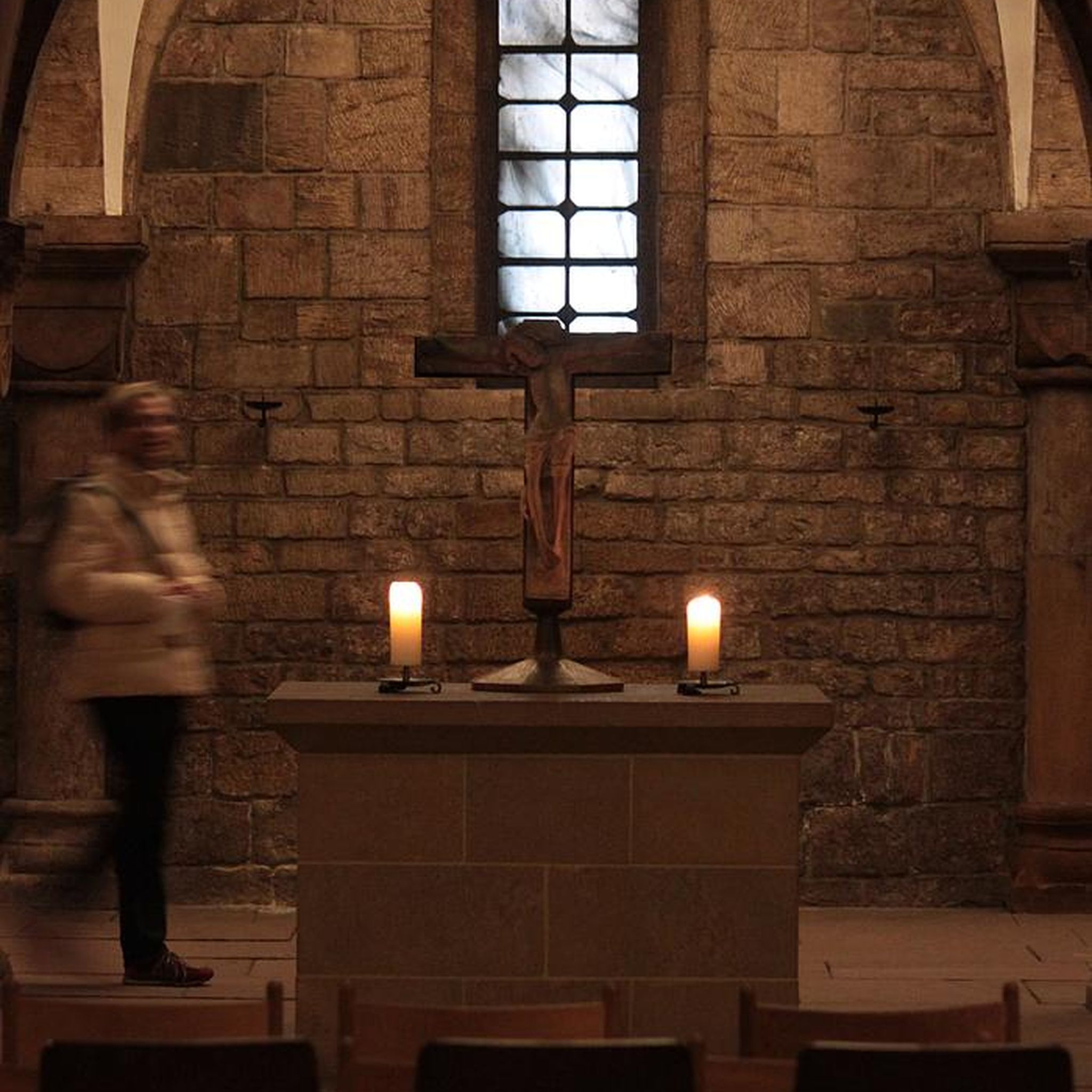
Built in 1867 to replace the old chapels of the historic hamlets of Roche and Toirin, the Saint-Étienne church of Rochetoirin was built on the edge of the plateau. Its location serves as a true viewpoint, offering an unobstructed panoramic view of the entire surrounding plain and the landscapes of the Vals du Dauphiné. https://www.rochetoirin.fr/rubriques.item.41/histoire.html
0
0
Neighborhood meeting and sharing space designed to strengthen local social ties in the vicinity of Saint-Chef
0
0
Construite au XIXe siècle, cette église est née de la volonté des habitants du hameau de Chamont qui anticipaient une séparation administrative du bourg principal de Saint-Chef pour devenir une commune indépendante. Ce projet d'indépendance n'ayant jamais abouti, le bâtiment n'a jamais été consacré ni utilisé pour le culte. Plus récemment, ce lieu atypique a trouvé une seconde vie en étant réhabilité en salle de spectacle et espace culturel.
0
0
The trail runs along the Guiers river to its confluence with the Rhône, on the edge of Savoie.
0
0
The trail runs along the Guiers river to its confluence with the Rhône, on the edge of Savoie.
0
0
For a long time, this bridge marked the political border between the Kingdom of France (Dauphiné side) and the States of Savoy. In 1822, a border stone (stone no. 5) had been set in its center to demarcate the two territories. This historic stone has since been moved to the Place des Tilleuls in the village, where it serves as a fountain.
0
0
The site is freely accessible on foot and offers four major marked routes to gently explore its riches.
0
0
The area is located on the border between the departments of Isère and Ain, right next to the Pont d’Évieu. A specific ViaRhôna link allows you to reach the center of the commune of Les Avenières directly from this point via small country roads.
0
0
Frequently Asked Questions
How many traffic-free gravel bike trails are available around Dolomieu?
There are 6 dedicated traffic-free gravel bike routes around Dolomieu, offering a variety of experiences for different skill levels.
What is the general difficulty level of traffic-free gravel biking routes in Dolomieu?
The majority of traffic-free gravel bike routes in Dolomieu are rated as moderate, with 5 routes falling into this category. There is also 1 more challenging route for experienced riders.
Are there any family-friendly traffic-free gravel bike routes near Dolomieu?
Yes, for a relatively easy and scenic ride, consider the Cordon Bridge – Lac de Barterand loop from Aoste. It's a moderate route that offers pleasant views and is suitable for families looking for a less strenuous outing.
Can I find circular traffic-free gravel bike routes in Dolomieu?
Absolutely! All the traffic-free gravel bike routes in Dolomieu are designed as loops, allowing you to start and finish at the same point. For example, the Brangues town centre – Groslée Bridge loop from Morestel is a popular circular option.
What natural or historical sights can I see along traffic-free gravel bike trails in Dolomieu?
Many routes offer glimpses of the region's charm. For instance, the Brangues town centre – Groslée Bridge loop from Morestel passes near the historic Groslée Bridge. You might also encounter other local landmarks like the Tomb of Paul Claudel or the Morestel Medieval Town and Castle, which are close to some of the starting points.
Are there any routes that pass by waterfalls?
Yes, while not directly on a traffic-free gravel route, the stunning Glandieu Waterfall is a notable attraction in the wider Dolomieu area and can be visited as a side trip or incorporated into a longer ride if you're exploring the region more broadly.
Where can I find parking for these traffic-free gravel bike trails?
Most of these routes start near towns or villages like Morestel, Aoste, Montcarra, Rochetoirin, or Cessieu. You can typically find public parking available in these areas, often near the town centers or designated trailheads. We recommend checking local parking regulations upon arrival.
What is the best season for gravel biking in Dolomieu to avoid traffic?
Spring and autumn generally offer the most pleasant conditions for gravel biking in Dolomieu, with cooler temperatures and beautiful scenery. These seasons also tend to have less tourist traffic compared to the peak summer months, making it easier to enjoy the car-free routes.
What do other gravel bikers enjoy the most about gravel biking in Dolomieu?
The komoot community rates the routes around Dolomieu highly, with an average score of 4.5 stars. Riders often praise the peaceful, traffic-free nature of the trails, the charming rural landscapes, and the accessibility of these routes for a relaxing day out on the bike.
Are there any challenging traffic-free gravel routes for advanced riders?
Yes, for those seeking a more demanding ride, the Côte de l'Anluire – Saint-Barthélemy Church loop from Montcarra is rated as difficult. This route features significant elevation gain, offering a good workout and rewarding views for experienced gravel bikers.
Can I access these traffic-free gravel trails using public transport?
While public transport options exist in the wider region, direct access to the specific starting points of these traffic-free gravel trails can be limited. It's advisable to check local bus schedules or consider driving to the nearest town with parking facilities to begin your ride.
Most popular attractions around Dolomieu

Get inspired with the komoot mobile app


Explore more
Browse the best Gravel rides in other regions.
