The best traffic-free bike rides around Valdrôme
4.2
(18)
286
riders
13
rides
No traffic touring cycling routes around Valdrôme navigate the diverse landscapes of the Diois area, characterized by steep-sided valleys, plateaus, and mountains. The region features picturesque scenes with lavender fields, vineyards, and pine forests, particularly in the Southern Prealps. Cyclists can also follow the banks of the Drôme River, one of Europe's last wild rivers, offering opportunities for refreshing breaks. This terrain provides varied challenges and constantly changing scenery for touring cyclists.
Best no traffic touring cycling routes around Valdrôme
…Last updated: May 21, 2026
4.0
(1)
19
riders
51.8km
04:18
1,330m
1,330m
Hard bike ride. Very good fitness required. Mostly paved surfaces. Suitable for all skill levels.
9
riders
25.6km
01:48
510m
510m
Hard bike ride. Very good fitness required. Mostly paved surfaces. Suitable for all skill levels.

Sign up for free
5
riders
23.8km
02:50
880m
880m
Hard bike ride. Very good fitness required. Mostly paved surfaces. Suitable for all skill levels.
5.0
(1)
6
riders
43.3km
03:20
970m
970m
Hard bike ride. Very good fitness required. Mostly paved surfaces. Suitable for all skill levels.
3
riders
60.2km
04:51
1,530m
1,530m
Hard bike ride. Very good fitness required. Mostly paved surfaces. Suitable for all skill levels.
Get access to more routes and recommendations from other explorers.
Sign up for free
Already have an account?
Our route recommendations are based on thousands of hikes, rides, and runs completed by other people on komoot.
Start today with a free account
Your next adventure awaits.
Login or Signup
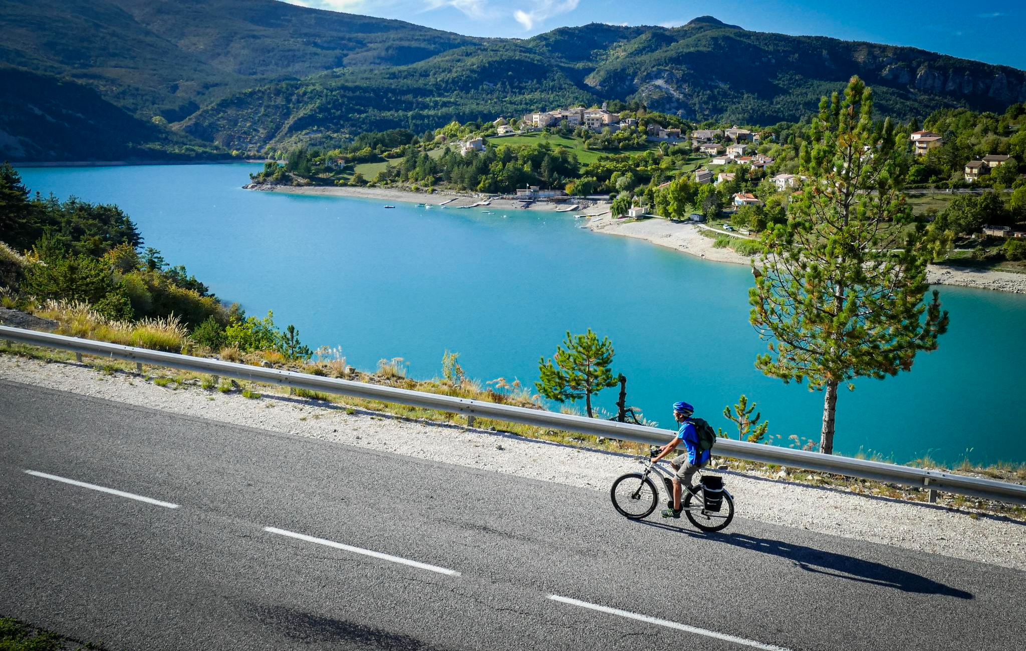
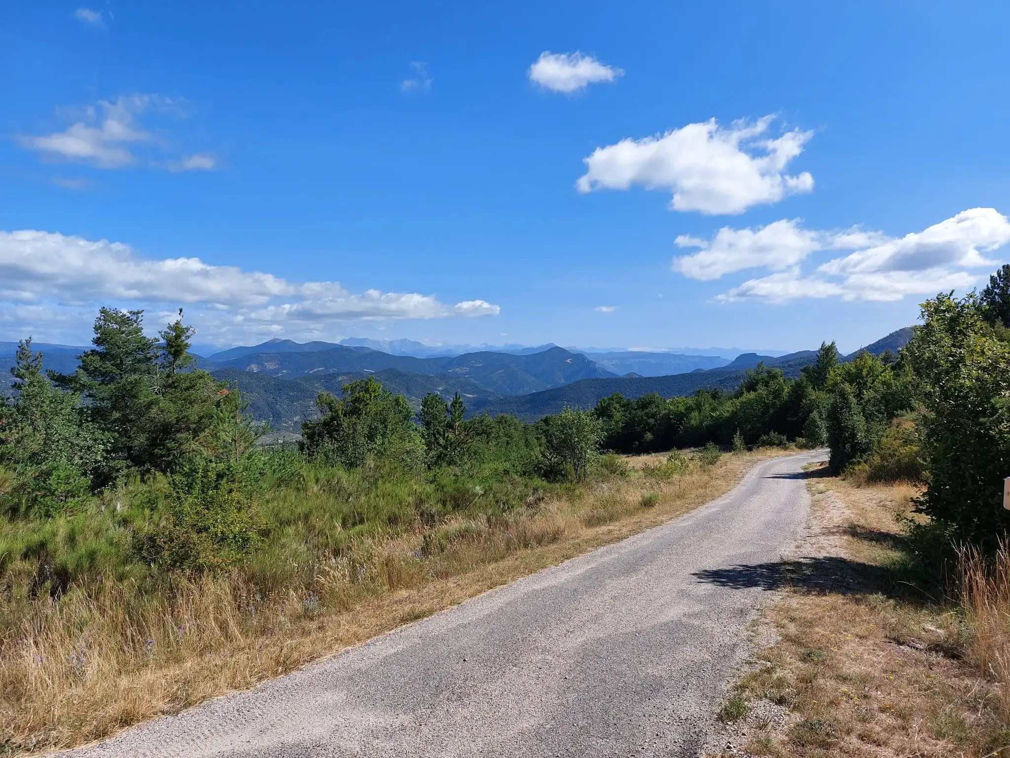
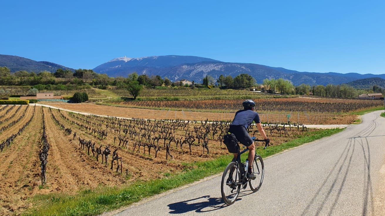
Other adventures around Valdrôme


Tips from the Community

Behind the media library, below, there is a wooden covered courtyard to protect against bad weather. The media library is located opposite the washhouse and public toilets. We can greatly thank the town hall of Montmorin for leaving this space at our disposal. Be careful to respect the place and the neighborhood by remaining discreet and clean. There are even benches, a sink, tables, ... A real little place to rest
2
0

Very beautiful panorama on the Hautes Alpes side
1
0

An exceptional gîte, in an equally exceptional setting. The mountain view is magnificent. Claire welcomes you with all her kindness. An address not to be missed. Info and reservation: 04.92.66.03.37 or by email: claire.girard@gitedepraboyer.com
0
0

To reach the pass, it takes around fifteen kilometers from the Oule valley. The slope becomes steeper from Montmorin where it is around 6%. The road winds between the mountains of Chauvet and Maraysse. The position offers a splendid view of these two mountains.
1
0
This beautiful 16th century building has two towers. It has been the subject of restoration for 30 years and has been included on the list of historic monuments since 1926. It is known to have belonged to Philis de La Charce, a local heroine of the 17th century.
1
0
From Valdrôme, the Col de Rossas has 6.4 kilometers of ascent between 6.5 and 7%. It is located at an altitude of 1,115 meters in the Diois massif. The road is rather calm and it is not uncommon to come across sheep and goats in the surrounding pastures. In short, you are in a quiet corner. The place offers a superb view of the plateau where you have just climbed.
2
0

Small road, along the river Oule, between Montmorin and Charce.
2
0
Small asphalt road between Serres and Sigottier, along the Aiguebelle torrent.
1
1
Frequently Asked Questions
How many no traffic touring cycling routes are available around Valdrôme?
There are 12 dedicated no traffic touring cycling routes around Valdrôme, offering a variety of experiences. Most of these routes are considered difficult, with 9 routes falling into this category, and 3 routes rated as moderate.
What kind of terrain can I expect on no traffic touring cycling routes around Valdrôme?
The Valdrôme region, nestled in the Diois area, offers diverse terrain for touring cyclists. You can expect a striking contrast of steep-sided valleys, plateaus, and mountains, providing constantly changing scenery. Routes often pass through picturesque lavender fields, vineyards, walnut orchards, and pine forests. The Drôme River is also a significant feature, with routes following its banks.
Are there challenging climbs or mountain passes on the no traffic routes?
Yes, the region is known for its mountain passes. Routes like the Col de Rossas – La Charce Castle loop from Station de Valdrôme and the La Charce Castle – Col des Tourette (1126 m) loop from La Charce feature significant elevation gains. You'll encounter passes such as Col de Rossas, Col des Tourette (1126 m), and Col de Carabès, offering panoramic views.
What natural features or landmarks can I see along the no traffic touring cycling routes?
Along these routes, you can discover several notable attractions. You might pass by La Charce Castle, encounter the dramatic landscapes of the Pommerol Gorges, or enjoy views from summits like Montagne de Raton. The Drôme River itself is a significant natural feature, offering opportunities for refreshing breaks.
Are there any specific routes known for their low traffic and scenic beauty in Valdrôme?
The P'tites Routes du Soleil (Little Routes of the Sun) are specifically designed for enjoying the journey with minimal traffic. Segments like Valdrôme to Valdoule, passing over the Col de Rossas, and Die to Valdrôme, lead through unspoiled ways and pine forests, showcasing the charm of the Diois with its lavender, vineyards, and walnut orchards. You can find more information about these routes on France Vélo Tourisme.
What do other touring cyclists enjoy the most about touring cycling in Valdrôme?
The komoot community rates the touring cycling experience in Valdrôme highly, with an average score of 3.96 out of 5 stars from 18 ratings. Reviewers often praise the region's diverse landscapes, the challenge of its mountain passes, and the tranquility of its low-traffic routes through picturesque natural settings.
Are there any circular no traffic bike routes available?
Yes, several circular routes are available. Examples include the Col de Rossas – La Charce Castle loop from Station de Valdrôme, which is a challenging 51.8 km ride, and the Col de Rossas – Col du Fays loop from Valdrôme, a 25.6 km difficult route.
What is the best time of year to go touring cycling in Valdrôme?
While specific weather data isn't provided, the region's lavender fields, vineyards, and walnut orchards suggest spring and summer (late spring to early autumn) would be ideal for enjoying the scenery and generally favorable cycling conditions. Always check local weather forecasts before your trip, especially when planning to tackle mountain passes.
Are there any options for wild swimming near the cycling routes?
Yes, the Drôme River, known as one of Europe's last wild rivers, is a significant natural feature in the area. Its clear waters are ideal for family bathing and offer opportunities for refreshing swimming breaks along routes that follow its banks. Additionally, Le Claps, south of Luc-en-Diois, is a known spot for wild swimmers.
Are the no traffic touring cycling routes around Valdrôme suitable for families?
While many of the routes listed are rated as 'difficult' due to significant elevation changes, the region does offer features suitable for families. The Drôme River is ideal for family bathing, and routes like the P'tites Routes du Soleil emphasize enjoying the journey. For easier, family-friendly sections, it's advisable to check specific route details and consider shorter segments or dedicated greenways like the Vélodrôme cycle route, which follows minor roads in the lower Drôme valley.
Where can I find information about parking for these no traffic cycling routes?
Specific parking information for individual routes is not detailed here. However, Valdrôme itself is a small resort, and starting points for routes often have designated parking areas. It is recommended to check local signage or contact the Valdrôme tourist office for precise parking locations near your chosen route's starting point.
Most popular routes around Valdrôme
Most popular attractions around Valdrôme

Get inspired with the komoot mobile app


Explore more
Browse the best Cycling routes in other regions.
