The best traffic-free bike rides around Baldersheim
4.6
(51)
236
riders
61
rides
Gravel biking around Baldersheim offers diverse terrain in the Haut-Rhin department of France's Grand Est region. The area is situated near the foothills of the Vosges Mountains, providing varied elevation and scenic trails. Riders can also explore the flatter Rhine valley, with routes often following waterways like the Quatelbach. Additionally, the broader Alsace region features extensive vineyards, offering unique paths through agricultural landscapes.
Best no traffic gravel bike trails around Baldersheim
- The most popular no traffic gravel bike trail is Nice trailhead – Small lake with island loop from Mulhouse-Ville, a 29.2 miles (47.0 km) trail that takes 3 hours 42 minutes to complete. This route offers a challenging ride with significant elevation gain.
- Another top favourite among local gravel bikers is Along the Ill – Abandoned Railway Bridge loop from Ensisheim, a moderate 36.0 miles (57.9 km) path. This trail follows the Ill River, providing scenic views and a mix of surfaces.
- Local gravel bikers also love the Along the Thur River – Beautiful blue metal bridge loop from Ensisheim, a 25.3 miles (40.7 km) trail leading through riverine landscapes, often completed in about 2 hours 20 minutes.
- Gravel biking around Baldersheim is defined by the foothills of the Vosges mountains, the Rhine valley, and Alsatian vineyards. The network offers options for different ability levels, from easy rides to more difficult climbs.
- The routes in Baldersheim are highly rated by the komoot community with an average score of 4.5 stars from over 60 reviews. More than 330 gravel bikers have used komoot to explore Baldersheim's varied terrain.
Last updated: August 12, 2026
4.4
(5)
18
riders
70.9km
04:25
590m
590m
Hard gravel ride. Very good fitness required. Mostly paved surfaces. Suitable for all skill levels.
4.8
(6)
14
riders
47.1km
03:43
640m
640m
Hard gravel ride. Very good fitness required. Mostly paved surfaces. Suitable for all skill levels.

Sign up for free
4.0
(1)
18
riders
57.8km
03:47
60m
60m
Moderate gravel ride. Good fitness required. Mostly paved surfaces. Suitable for all skill levels.
4.7
(6)
12
riders
Moderate gravel ride. Good fitness required. Mostly paved surfaces. Suitable for all skill levels.
4.7
(6)
15
riders
Moderate gravel ride. Good fitness required. Mostly paved surfaces. Suitable for all skill levels.
Get access to more routes and recommendations from other explorers.
Sign up for free
Already have an account?
Our route recommendations are based on thousands of hikes, rides, and runs completed by other people on komoot.
Start today with a free account
Your next adventure awaits.
Login or Signup
Popular around Baldersheim

Tips from the Community

Cyclists completely sheltered from cars. Bleak landscape.
0
0

sights again and again towards Cernay
0
0

Beautiful spot in the vast hills overlooking Habsheim
0
0

Beautiful view of the river Ill in Sundhoffen.
0
0

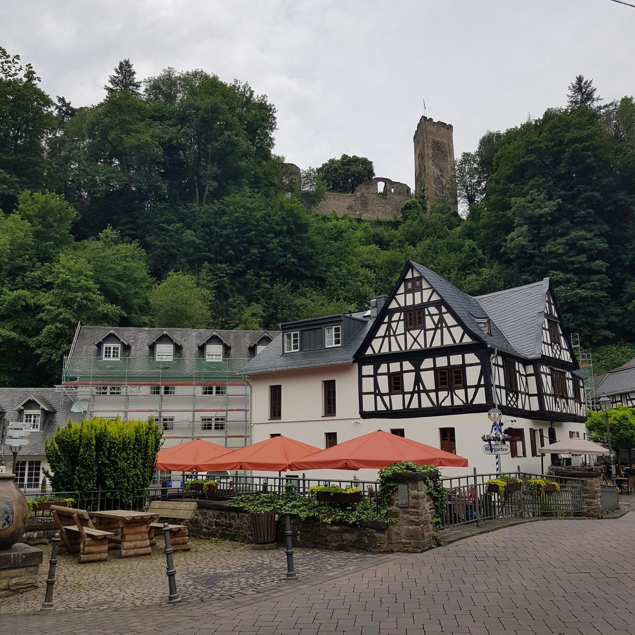
The castle fits nicely into the panorama. But I didn't go there.
0
0

Beautiful surroundings on the canal.
0
0

Frequently Asked Questions
How many traffic-free gravel bike trails are available around Baldersheim?
There are over 50 traffic-free gravel bike trails around Baldersheim, offering a wide range of options for all skill levels. You'll find everything from easy, short rides to more challenging, longer adventures.
What kind of terrain can I expect on gravel bike trails near Baldersheim?
The terrain around Baldersheim is quite diverse, reflecting its location near the Vosges Mountains foothills and the Rhine valley. You can expect a mix of surfaces, including well-maintained gravel paths, farm tracks through Alsatian vineyards, and sometimes root-covered paths in wooded areas. While many routes are relatively flat, especially along waterways like the Quatelbach, some trails venturing towards the Vosges foothills can include significant elevation changes.
Are there any easy, family-friendly traffic-free gravel routes in the Baldersheim area?
Yes, Baldersheim offers several easy, traffic-free gravel routes suitable for families. These often follow river paths or quiet vineyard tracks. For example, the View of the Rhine River – Bad Bellingen Spa Park loop from Parkplatz Schützenhaus is an easy option, perfect for a relaxed ride.
What are some scenic highlights or points of interest I can see along the traffic-free gravel trails?
Many traffic-free gravel trails in the Baldersheim area offer scenic views and points of interest. You might encounter picturesque Alsatian villages, vineyards, and natural features. Highlights include the Viewing platform on the Rhine, the historic Niffer Lock, or the tranquil Wuhrloch Lake. Many routes also follow the beautiful Rhône–Rhine Canal.
Are there any challenging traffic-free gravel routes for experienced riders?
Absolutely. While many routes are moderate, there are 15 difficult traffic-free gravel trails for experienced riders seeking a challenge. These routes often feature more significant elevation gains and varied terrain. An example of a more challenging ride is the Nice trailhead – Small lake with island loop from Mulhouse-Ville, which includes substantial climbing.
Can I find circular gravel bike routes around Baldersheim that avoid traffic?
Yes, many of the gravel bike routes around Baldersheim are designed as circular loops, allowing you to start and end at the same point without retracing your steps, all while minimizing traffic exposure. For instance, the Along the Ill – Abandoned Railway Bridge loop from Ensisheim is a great example of a moderate circular route.
What do other gravel bikers say about the trails in Baldersheim?
The gravel biking trails around Baldersheim are highly rated by the komoot community, with an average score of 4.5 stars from over 60 ratings. Reviewers often praise the peaceful, traffic-free nature of the routes, the diverse scenery ranging from riverbanks to vineyards, and the well-maintained paths that make for an enjoyable ride.
Are there any long-distance traffic-free gravel routes available?
Yes, if you're looking for longer rides, Baldersheim offers several extensive traffic-free gravel routes. Some routes can stretch over 40-50 kilometers, providing a full day's adventure. The Along the Thur River – Beautiful blue metal bridge loop from Mulhouse Musées is a moderate option covering approximately 45 kilometers.
What is the best time of year to gravel bike in Baldersheim to avoid traffic and enjoy the scenery?
Spring and autumn are generally considered the best times for gravel biking in Baldersheim. During these seasons, the weather is typically mild, and the natural scenery, whether blooming vineyards or colorful foliage, is at its most beautiful. Avoiding peak summer months can also help ensure a more tranquil, traffic-free experience on popular routes.
Are there routes that follow rivers or canals for a flatter, scenic ride?
Yes, many traffic-free gravel routes in the Baldersheim area take advantage of the region's waterways, offering flatter and very scenic rides. Trails often follow the Ill River, the Thur River, or the Rhône–Rhine Canal. The Along the Thur River – Beautiful blue metal bridge loop from Ensisheim is a prime example of a route that hugs the river, providing a pleasant and mostly flat experience.
Most popular routes around Baldersheim
Most popular attractions around Baldersheim

Get inspired with the komoot mobile app


Explore more
Browse the best Gravel rides in other regions.
