The best hikes from bus stations around Argenteuil
4.5
(2241)
18,807
hikers
32
hikes
Bus station hiking trails around Argenteuil are primarily defined by the Seine River, which offers scenic riverside paths and green spaces. The region features gentle hills, such as those found in Parc de la Butte des Châtaigniers, providing varied terrain for outdoor activities. Hikers can explore a mix of urban green areas, historic routes, and accessible woodlands, including the nearby Forêt de Saint-Germain-en-Laye. The landscape is characterized by its blend of natural beauty and proximity to urban amenities.
Best bus…
Last updated: July 16, 2026
4.2
(6)
49
hikers
10.0km
02:32
20m
20m
Moderate hike. Good fitness required. Easily-accessible paths. Suitable for all skill levels.
4.6
(8)
38
hikers
12.2km
03:31
300m
300m
Moderate hike. Good fitness required. Easily-accessible paths. Suitable for all skill levels.

Sign up for free
5.0
(1)
40
hikers
7.36km
01:54
10m
10m
Easy hike. Great for any fitness level. Easily-accessible paths. Suitable for all skill levels.
4.5
(2)
19
hikers
5.34km
01:27
80m
80m
Easy hike. Great for any fitness level. Easily-accessible paths. Suitable for all skill levels.
5.0
(1)
16
hikers
8.59km
02:11
30m
30m
Moderate hike. Good fitness required. Easily-accessible paths. Suitable for all skill levels.
Get access to more routes and recommendations from other explorers.
Sign up for free
Already have an account?
Our route recommendations are based on thousands of hikes, rides, and runs completed by other people on komoot.
Start today with a free account
Your next adventure awaits.
Login or Signup



Tips from the Community

Be careful of this heavy traffic, though.
2
0

Perfect for a little break or a snack on the banks of the Seine! You can even eat crepes and waffles there!
0
0

Entrance to the Cormeilles woods via the spring and the fountains a little higher up.
0
0

Why should you be interested in the Pont de Bezons? Key Infrastructure: The bridge is a crucial piece of transport infrastructure in the region, facilitating the connection between the municipalities of Bezons and La Garenne-Colombes. Regional Development: Its history and role in the economic and urban development of the region make it a point of interest for those interested in the evolution of infrastructure in Greater Paris. Accessibility: It offers convenient access for residents and visitors, and its location in a bustling urban area makes it a strategic location for transport. The Pont de Bezons is a key infrastructure in the Greater Paris region, playing a key role in facilitating travel between the municipalities of Bezons and La Garenne-Colombes while contributing to local economic development.
2
0
The Pont de Bezons is a bridge located on the Seine, connecting the commune of Bezons (in the Val-d'Oise department) to the city of La Garenne-Colombes, which is part of the Greater Paris metropolis. This bridge plays a crucial role in the connectivity between these two cities and facilitates travel in the region. Characteristics of the Pont de Bezons: Design and Structure: The Pont de Bezons is a steel girder bridge, built to allow the passage of vehicles, pedestrians and cyclists. Its functional design reflects the traffic needs between the two banks of the Seine in this urban area. History: The bridge was built in the 1960s and has since been an essential element of local infrastructure, facilitating transport and trade between Bezons and La Garenne-Colombes. Its construction contributed to the economic development of the region by improving access to the various urban areas. Function: The Pont de Bezons is mainly used for road traffic, but it is also accessible to pedestrians and cyclists. It plays a key role in the local transport network, particularly for journeys between neighbouring municipalities. Environment and Accessibility: The bridge is located in a dynamic urban area, surrounded by residential and commercial districts. It is well integrated into the local road network, with direct access to main roads and public transport. Modernisation Projects: Like many urban infrastructures, the Pont de Bezons has benefited from various modernisation works over the years to improve its safety and capacity. These projects aim to adapt the bridge to the growing needs of urban traffic.
2
0
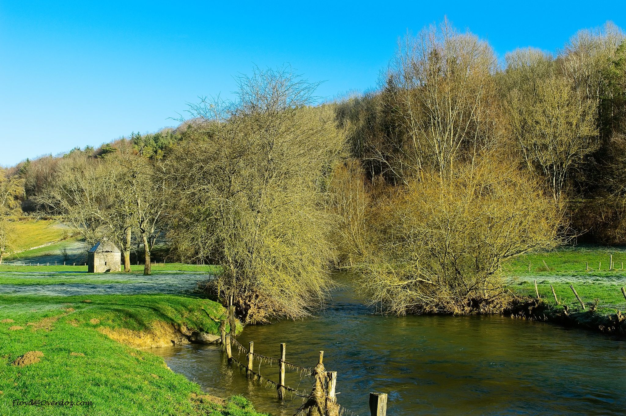
A little corner of bucolic nature near Colombes... for a peaceful stroll.
2
0

Monument "La Tour Montjoie" with a small park
0
0
Frequently Asked Questions
How many hiking trails are accessible directly from bus stations around Argenteuil?
There are over 30 hiking routes around Argenteuil that you can easily access directly from local bus stations. These routes offer a variety of experiences, from gentle riverside strolls to more challenging woodland paths.
Are there easy hiking options accessible by bus for beginners or families in Argenteuil?
Yes, Argenteuil offers many easy hikes accessible by bus, perfect for beginners or families. For example, the A corner of nature – Small wild beach loop from Bezons is an easy 7.2 km route with minimal elevation gain, offering a pleasant experience along the water. Another accessible option is the Jacques Verniol Cross – Parisis Water Tower loop from Argenteuil, which is just over 5 km and also rated easy.
What kind of landscapes can I expect on bus-accessible hikes in Argenteuil?
Hikes accessible by bus in Argenteuil showcase a diverse range of landscapes. You'll find picturesque riverside paths along the Seine, offering scenic views and tranquil trails. Many routes also lead through urban green spaces like the Parc de la Butte des Châtaigniers, and some venture into charming woodlands such as Rinvals Wood, providing a harmonious blend of nature and accessible urban environments.
Are there any circular hiking routes from bus stations in Argenteuil?
Yes, many of the bus-accessible routes in Argenteuil are circular, allowing you to start and end at the same point, often near a bus stop. Examples include the moderate Parisis Water Tower – Rinvals Wood loop from Argenteuil and the easy A corner of nature – Small wild beach loop from Bezons. These loops are convenient for public transport users.
What are some interesting landmarks or points of interest along these bus-accessible trails?
Along the bus-accessible trails, you can discover several interesting points. Many routes follow the scenic Cycle Path along the Seine or the Seine Towpath, offering views of the river. You might also encounter historical sites like the Resistance monument and source, or natural features such as Rinvals Wood.
Are the bus-accessible hiking trails in Argenteuil suitable for dogs?
Many of the trails in and around Argenteuil, especially those in natural areas like parks and woodlands, are generally dog-friendly. However, it's always recommended to keep dogs on a leash, especially in more populated areas or near wildlife. Check specific route details on komoot for any local restrictions or recommendations regarding pets.
What do other hikers enjoy most about hiking from bus stations in Argenteuil?
The hiking routes around Argenteuil are highly rated by the komoot community, with an average score of 4.5 stars. Reviewers often praise the accessibility of the trails via public transport, the beautiful riverside scenery, and the peaceful green spaces that offer a refreshing escape from urban life.
Are there any moderate difficulty hikes accessible by bus in Argenteuil?
Yes, Argenteuil offers several moderate hikes that are accessible by bus. For instance, the Inland water transport museum – Montjoie Tower loop from Herblay-sur-Seine is a moderate 9.95 km route. Another good option is the On the pond side – Chemin de l'Île Park loop from Bezons, which is 8.85 km and also rated moderate, providing a good balance of distance and varied terrain.
When is the best time of year to hike near Argenteuil using public transport?
Spring and autumn are generally ideal for hiking in Argenteuil. In spring, the parks and riverside areas burst with new growth and flowers, while autumn offers pleasant temperatures and beautiful foliage. Summer can be enjoyable, especially along the shaded riverside paths, but be prepared for warmer weather. Winter hikes are also possible, though some paths might be muddy.
Are there any trails that offer views of the Paris skyline from Argenteuil?
Yes, the Parc de la Butte des Châtaigniers, a verdant sanctuary within Argenteuil, offers panoramic vistas from its elevated points, including glimpses of the distant Paris skyline. While not a specific komoot route listed here, many local paths and bus routes can lead you to this park for these scenic views.
How long are the typical bus-accessible hiking trails in Argenteuil?
The bus-accessible hiking trails in Argenteuil vary in length, catering to different preferences. You can find shorter, easy routes around 5-7 km, such as the Jacques Verniol Cross – Parisis Water Tower loop from Argenteuil (5.33 km). There are also longer, moderate options extending up to 12 km, like the Parisis Water Tower – Rinvals Wood loop from Argenteuil, providing choices for various activity levels.
Most popular routes around Argenteuil
Most popular attractions around Argenteuil

Get inspired with the komoot mobile app


Didn’t find what you were looking for?
Check out more Hikes throughout Argenteuil below and find the perfect route in your destination.
Explore more
Browse the best Hikes in other regions.
