The best traffic-free bike rides around Valenciennes
4.3
(406)
8,252
riders
232
rides
No traffic road cycling routes around Valenciennes navigate a landscape characterized by a blend of natural green spaces, tranquil waterways, and unique transformed mining areas. The region features extensive forests like Raismes-Saint-Amand and Marchiennes, alongside significant bodies of water such as the Étang du Vignoble and the Escaut River. Cyclists will encounter varied terrain, including former railway lines converted into greenways and gentle hills, with some routes incorporating sections of the historic Paris-Roubaix cobbles. This diverse geography provides a range…
Last updated: August 12, 2026
4.0
(7)
56
riders
47.7km
02:05
290m
290m
Moderate road ride. Good fitness required. Mostly well-paved surfaces and easy to ride.
5.0
(1)
57
riders
91.0km
03:39
420m
420m
Moderate road ride. Good fitness required. Mostly well-paved surfaces and easy to ride.

Sign up for free
51
riders
60.0km
02:35
430m
430m
Moderate road ride. Good fitness required. Mostly well-paved surfaces and easy to ride.
5.0
(2)
47
riders
90.6km
04:00
440m
440m
Moderate road ride. Good fitness required. Mostly well-paved surfaces and easy to ride.
3.0
(1)
44
riders
86.6km
03:41
460m
460m
Moderate road ride. Good fitness required. Mostly well-paved surfaces and easy to ride.
Get access to more routes and recommendations from other explorers.
Sign up for free
Already have an account?
Our route recommendations are based on thousands of hikes, rides, and runs completed by other people on komoot.
Start today with a free account
Your next adventure awaits.
Login or Signup
Popular around Valenciennes

Traffic-free bike rides in Scarpe-Escaut
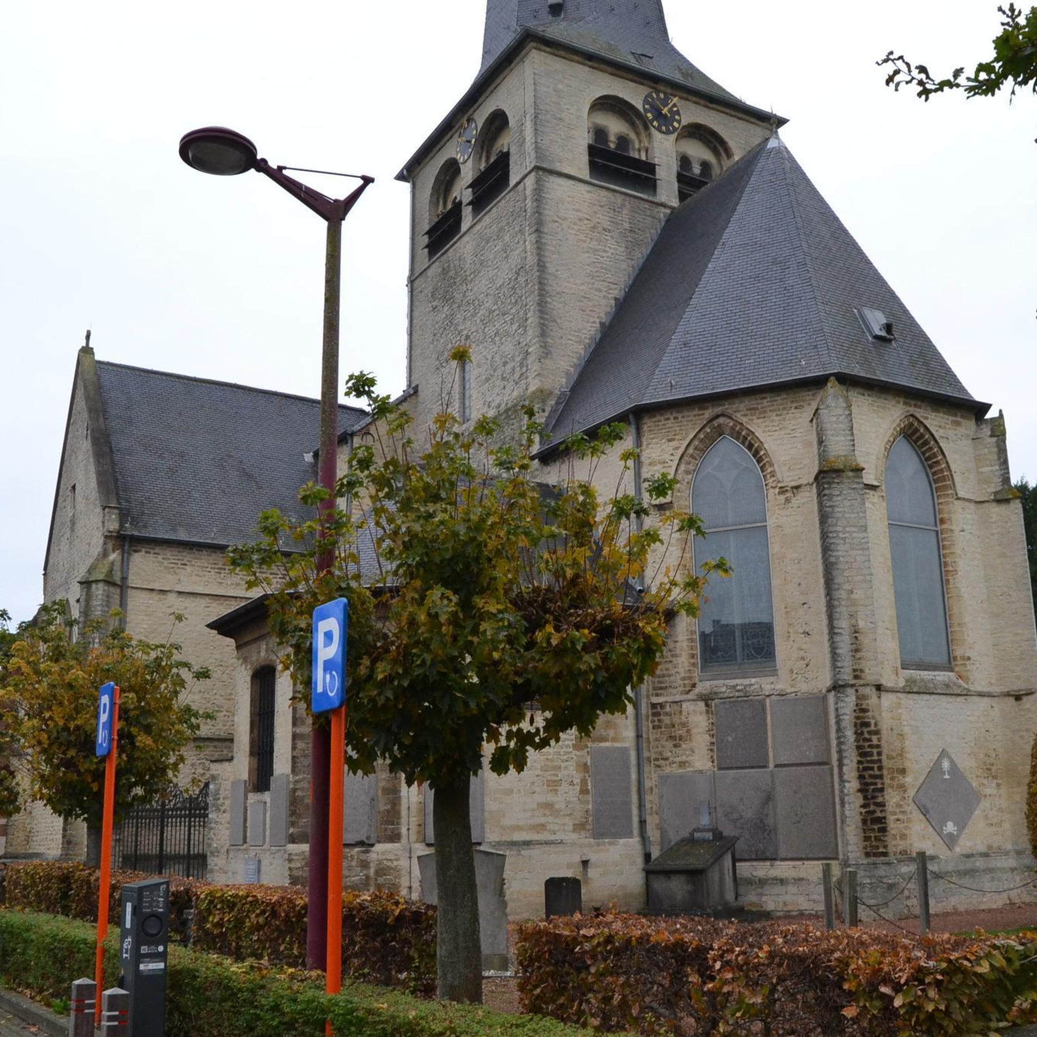
Traffic-free bike rides around Aubry-Du-Hainaut
Traffic-free bike rides around Bruay-Sur-L'Escaut

Traffic-free bike rides around Petite-Forêt

Traffic-free bike rides around Raismes
Traffic-free bike rides around Beuvrages
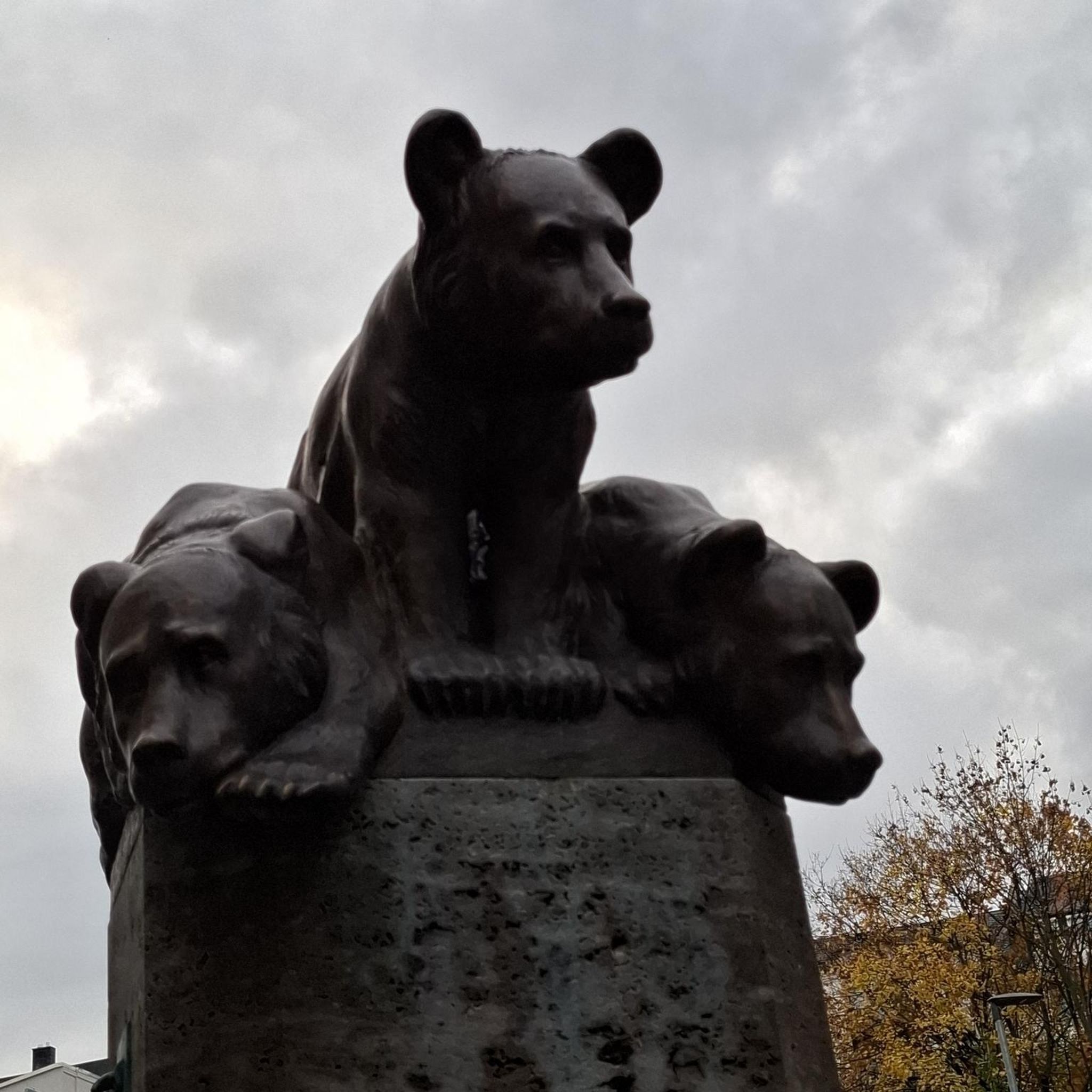
Traffic-free bike rides around Haspres
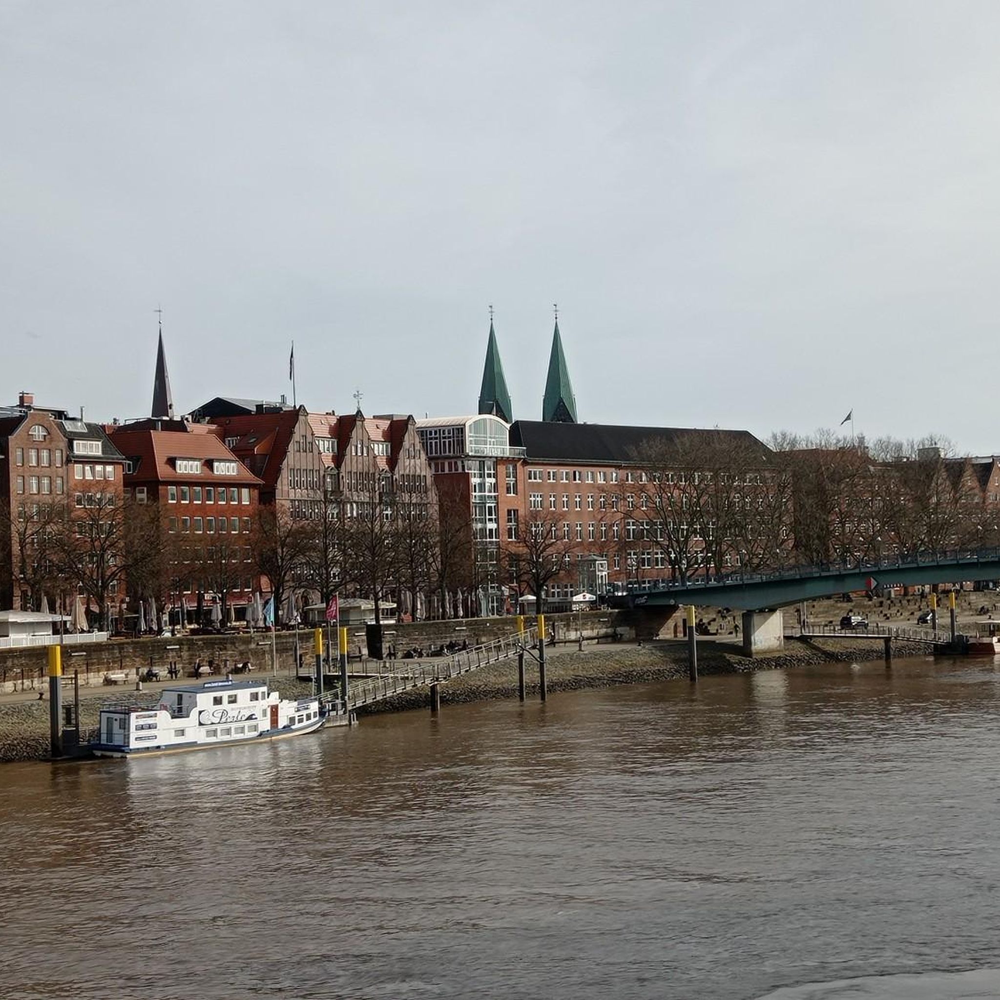
Traffic-free bike rides around Saint-Aybert
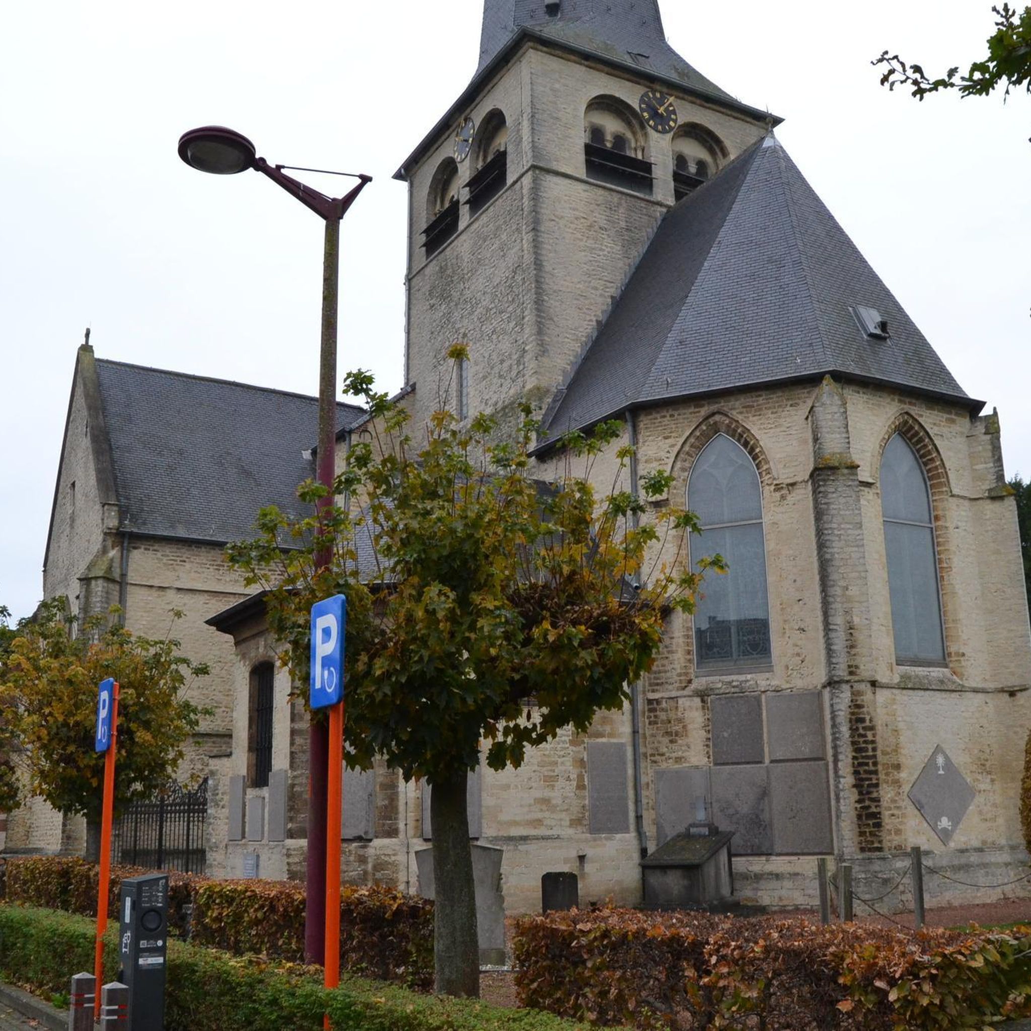
Traffic-free bike rides around Marly
Traffic-free bike rides around Vignoble, Du (Etang)
Tips from the Community

Very convenient, tram line 2 passes right in front of Valenciennes train station. 1.5 hours from Paris
0
0


The Gare de Valenciennes is an impressive building with a rich history. The station was originally opened on 14 November 1842 and has been a major rail hub in the region ever since. The current building was built in 1909 by the Compagnie des Chemins de Fer du Nord. It is designed in a neoclassical style and consists of a central monumental building with two later side wings in red brick. The building is approximately 30 metres high and has undergone several renovations since the war, including a major renovation in 2013. The station is a symbol of the industrial history and development of public transport in Valenciennes.
5
0
The Carrière des Peupliers in Abscon is a former chalk and marl quarry used to produce lime for the USINOR factory in Denain. These industrial activities have significantly changed the landscape of the Denaisis plain. After the end of the industrial activities, the land was transferred to the Nord department. Today, the area is an interesting place for nature lovers and offers a unique insight into the industrial history of the region.
1
0

Very nice little spot at the bend of a jogging
1
0


Waterfall well it's actually more of a weir
2
0
Frequently Asked Questions
How many no-traffic road cycling routes are available around Valenciennes?
There are over 200 traffic-free road cycling routes around Valenciennes, offering a wide range of options for all skill levels. You'll find everything from easy, flat rides to more challenging routes with moderate elevation.
What is the best time of year to enjoy traffic-free road cycling in Valenciennes?
The spring and autumn months generally offer the most pleasant conditions for road cycling in Valenciennes, with mild temperatures and beautiful scenery. Summer can also be enjoyable, especially along shaded forest paths or waterways. While some routes are accessible year-round, always check local weather conditions, particularly in winter.
Are there easy no-traffic road cycling routes suitable for beginners or families in Valenciennes?
Yes, Valenciennes offers many easy, traffic-free road cycling routes perfect for beginners and families. These routes often follow greenways along rivers like the Escaut or through tranquil forest areas, providing a safe and enjoyable experience. For example, the Roadbike loop from Denain is a moderate option that can be adapted for a more relaxed pace.
Can I find longer, more challenging traffic-free road cycling routes in the Valenciennes area?
Absolutely. For those seeking longer or more challenging rides, routes like the Poplar's walk – Thun-l'Évêque loop from Prouvy - Thiant or the Col d'Erchin – Bridge Over the Canal loop from Lourches offer distances of over 90 km with moderate elevation gains. The region's unique mining landscapes, including former slag heaps (terrils), can also provide interesting terrain for advanced cyclists.
What natural attractions can I see along traffic-free road cycling routes in Valenciennes?
Many routes pass by beautiful natural features. You can cycle past serene lakes like Goriaux Pond or Vineyard Pond, which are perfect for a scenic break. The region also features extensive forests such as Raismes-Saint-Amand and Marchiennes, offering refreshing natural environments. Some routes even feature small waterfalls, like the one on the Quélipont Waterfall – Côte de la Cascade loop from Valenciennes.
Are there any historical or unique landmarks along these routes?
Yes, the Valenciennes region is rich in history, particularly its mining heritage. You can encounter unique landmarks such as the Trouée d'Arenberg, an iconic cobbled section famous from the Paris-Roubaix race, or explore former mining sites and slag heaps (terrils) like Terril de Roeulx. The Arenberg Creative Mine – Trouée d'Arenberg loop from Bellaing specifically highlights this unique landscape.
What do other road cyclists enjoy the most about traffic-free road cycling in Valenciennes?
The area is highly rated by the komoot community, with an average score of 4.3 stars. Reviewers often praise the diverse landscapes, from tranquil forests and scenic waterways to the unique historical mining sites. The extensive network of greenways and dedicated cycling paths, ensuring a traffic-free experience, is also frequently highlighted as a major advantage.
Are there circular no-traffic road cycling routes available?
Many of the traffic-free road cycling routes around Valenciennes are designed as loops, allowing you to start and end at the same point without retracing your steps. This includes routes like the Poplar's walk – Thun-l'Évêque loop from Prouvy - Thiant and the Quélipont Waterfall – Côte de la Cascade loop from Valenciennes, providing varied scenery throughout your ride.
Where can I find parking to access these traffic-free cycling routes?
Many routes start from towns and villages around Valenciennes, where public parking is generally available. Specific starting points for routes often have designated parking areas. For example, routes starting from Denain, Prouvy, or Bellaing typically offer convenient access to parking facilities near the trailhead or within the town centers.
Can I reach these cycling routes using public transport?
Valenciennes has a well-developed public transport network, including buses and trams, which can help you reach various starting points for cycling routes. The region is also accessible by train, with stations in Valenciennes and surrounding towns. Check local public transport schedules and bicycle carriage policies for the most up-to-date information.
Are there any specific cycling networks or greenways I should know about?
Yes, the region is actively developing its cycling infrastructure. The "Bassin Minier bicycle node network" to the north of Valenciennes is expanding, offering a vast network of safe cycling routes. Additionally, the "Un'Escaut" cyclo loop is a 30 km greenway along the Escaut River, showcasing both natural beauty and mining heritage. You can find more details about these networks on the Valenciennes tourism website.
Most popular routes around Valenciennes
Most popular attractions around Valenciennes

Get inspired with the komoot mobile app


Didn’t find what you were looking for?
Check out more Road cycling routes throughout Valenciennes below and find the perfect route in your destination.
Explore more
Browse the best Road cycling routes in other regions.
