The best hikes from bus stations around Nancy
4.5
(2848)
15,584
hikers
470
hikes
Hiking around Nancy offers diverse landscapes, characterized by the confluence of the Meurthe and Moselle rivers, expansive forests like Forêt de Haye, and elevated plateaus such as the Plateau de Malzéville. The region features varied terrain, from gentle riverside paths along the Marne-Rhine Canal to more undulating routes through natural parks. These areas provide a range of experiences for hikers of all abilities. Many bus station hiking trails around Nancy are easily accessible, connecting urban areas with natural surroundings.
Best…
Last updated: November 2, 2026
4.9
(22)
50
hikers
8.20km
02:17
150m
150m
Moderate hike. Good fitness required. Easily walkable paths.
4.1
(10)
79
hikers
7.45km
01:53
10m
10m
Easy hike. Easily walkable paths.

5.0
(6)
46
hikers
Moderate hike. Good fitness required. Easily walkable paths.
4.5
(13)
108
hikers
10.2km
02:49
180m
180m
Moderate hike. Good fitness required. Easily walkable paths.
4.8
(4)
187
hikers
6.12km
01:34
20m
20m
Easy hike. Easily walkable paths.
Get access to more routes and recommendations from other explorers.
Already have an account?
Our route recommendations are based on thousands of hikes, rides, and runs completed by other people on komoot.
Start today with a free account
Your next adventure awaits.
Popular around Nancy

Hikes from bus stations around Plateau de Haye et Bois l'Évêque

Hikes from bus stations in Plateau De Malzéville

Hikes from bus stations in Forêt De Champenoux

Hikes from bus stations in Forêt D'Amance

Hikes from bus stations in Réserve Naturelle De La Moselle Sauvage
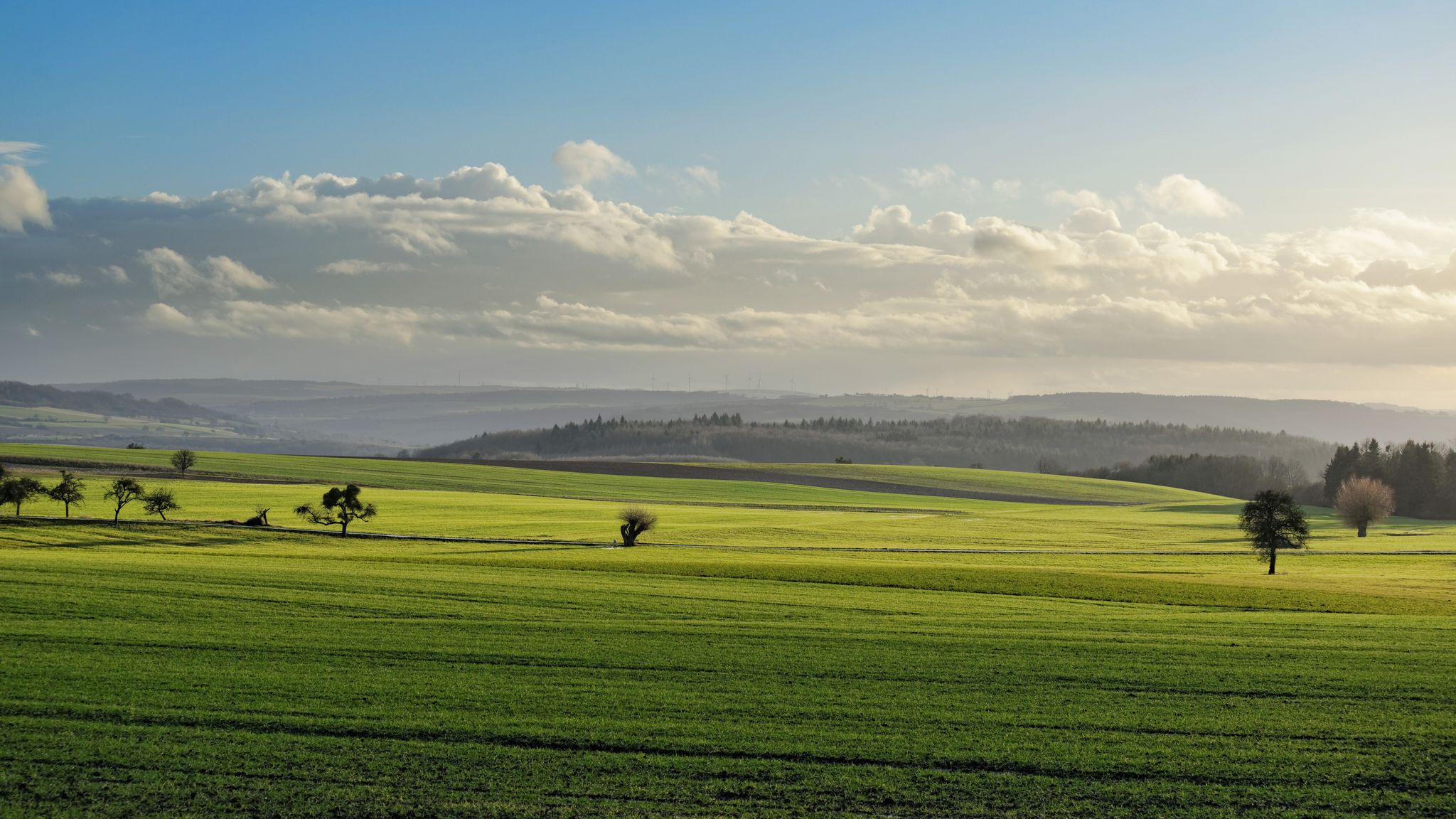
GR5 — The Europe Trail from Abreschviller to Apach
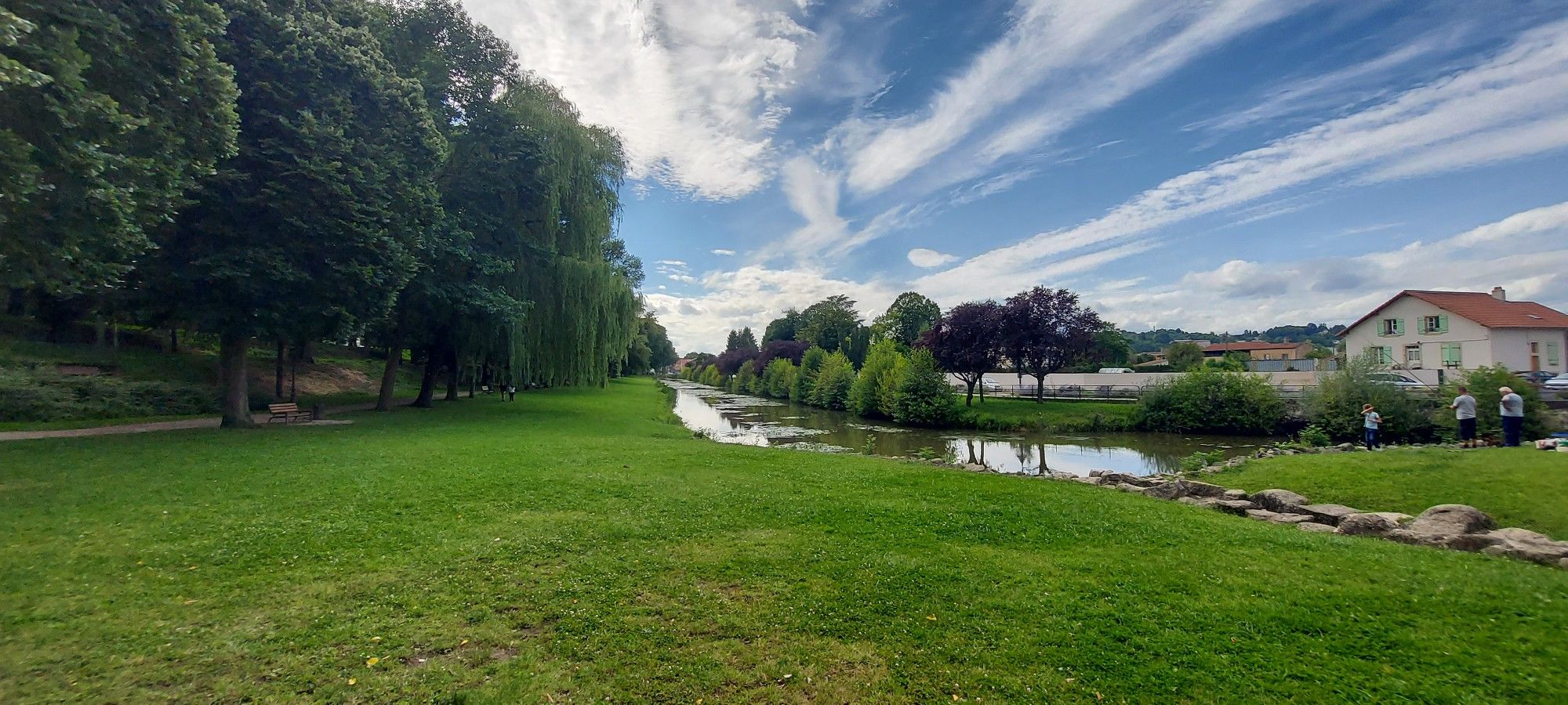
Linking Lorraine and Alsace – Stanislas-Kléber Path (GR 534)
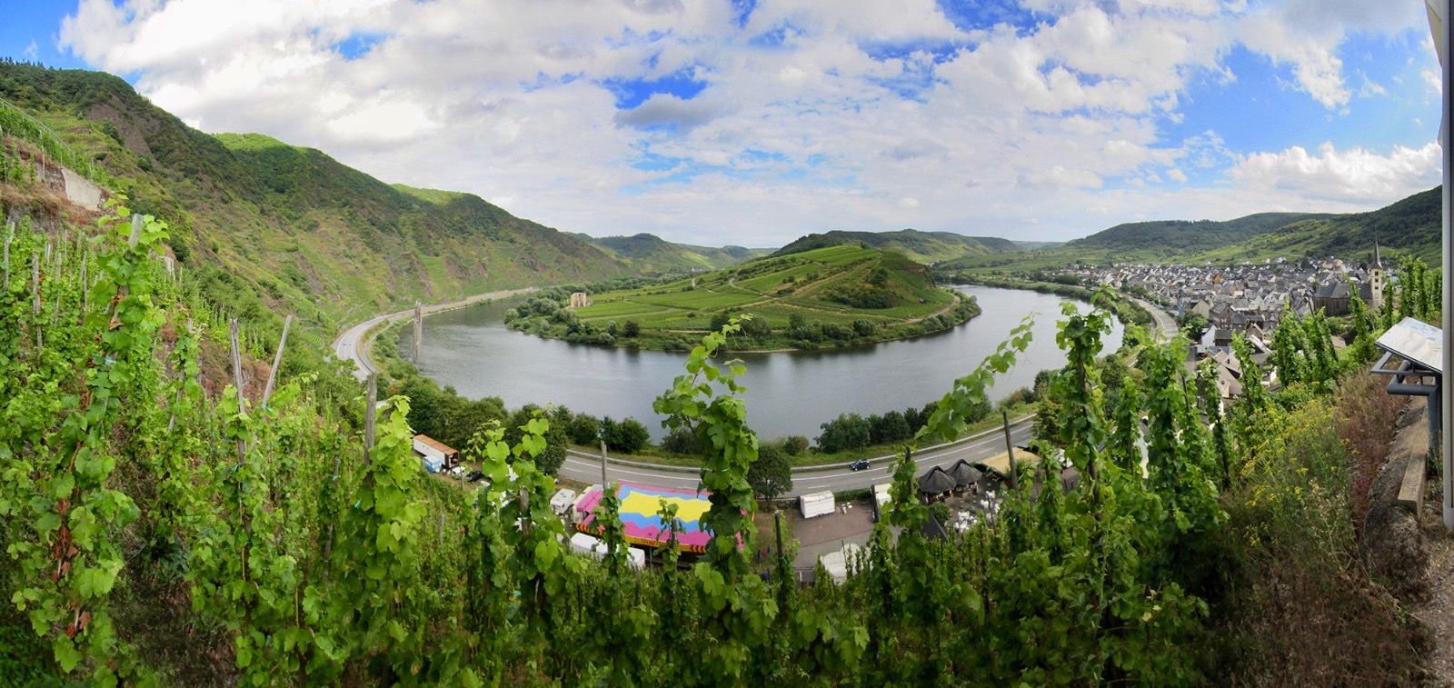
The Moselle cycle path — from the Vosges to the Rhine in 18 stages
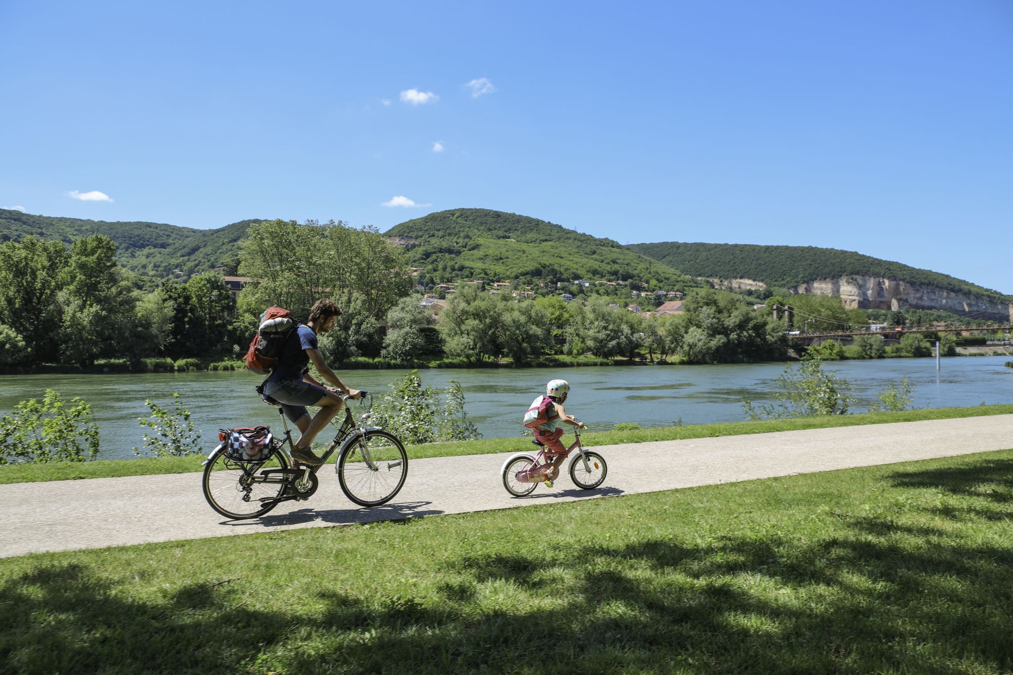
The Voie Bleue – Moselle-Saône by bike

The Grand Est without a car – cycling from station to station
Other adventures around Nancy


Tips from the Community

The Passerelle de la Méchelle is a modern pedestrian and cycle bridge over the Meurthe river between Nancy and Tomblaine in the French department of Meurthe-et-Moselle. It was built according to the plans of architect Alain Spielmann starting in 2003 and was completed in May 2005. The approximately 250-meter-long cable-stayed bridge runs directly next to the Pont de la Concorde, which was built in 1987. Its slender construction of steel and reinforced concrete is supported by tall metal pylons, to which 16 suspension cables and four backstay cables are attached. The bridge deck combines wood and concrete elements.
1
0

Log cabin next to the officers' memorial grave
0
0

good walking shoe very nice view
0
0

Malzéville plateau relay antenna
0
0

The Plateau de Malzéville, located at the gates of Nancy, offers an exceptional panoramic view of the Meurthe valley and the city below. This natural site, surrounded by meadows and forests, is a popular place for walks, with paths winding through green landscapes. At the top of the plateau, the calm and serenity allow you to fully enjoy nature while admiring the unobstructed view.
1
1

Great pedestrian and cyclist backs.
2
0

Historical monument! In the 20th century, industrial production took place here. It is a large industrial complex for the production of flour and bread, located on an important site in the Stanislas-Meurthe district. It consists of silos, workshops and a mill. The structure is made of reinforced concrete. Its surface area is 22,000 m2 with a 9-storey main building.
1
0
The Meurthe flows through Nancy's largest channel. Here the riverbed is not straightened and there are nicely landscaped walking paths. We saw several gray herons and swans here.
2
0
Frequently Asked Questions
How many hiking trails are accessible from bus stations around Nancy?
There are over 470 hiking trails around Nancy that are easily accessible from bus stations. This includes a wide variety of routes, with approximately 210 easy, 245 moderate, and 16 difficult options, ensuring there's a suitable path for every hiker.
Are there any easy, family-friendly hikes accessible by bus in Nancy?
Yes, Nancy offers many easy and family-friendly routes accessible by bus. A great option is the Marne–Rhine Canal – Saint Catherine Gate loop from Nancy, which is an easy 6.2 km walk along the scenic canal. The region's urban parks like Parc de la Pépinière also offer pleasant, accessible strolls.
Can I find circular hiking routes near Nancy that are accessible by public transport?
Absolutely. Many of the trails accessible by bus are circular, allowing you to start and end your hike at the same bus stop. For example, the Héré Arch – Stanislas Square loop from Nancy is a moderate 8.7 km circular route that starts and finishes conveniently within the city.
What kind of natural attractions can I see along bus-accessible hiking trails near Nancy?
Hiking trails accessible by bus around Nancy offer diverse natural attractions. You can explore the Plateau de Malzéville, a Natura 2000 site with panoramic views over the Meurthe valley. The Confluence of the Moselle and Meurthe rivers is another picturesque spot. Many routes also pass through the extensive Forêt de Haye or along the tranquil Marne-Rhine Canal.
Are there any dog-friendly hiking trails near Nancy that I can reach by bus?
Many trails around Nancy are dog-friendly, though it's always best to keep your dog on a leash, especially in nature reserves or populated areas. The extensive green spaces of the Forêt de Haye and paths along the Meurthe and Moselle rivers are popular choices for walks with canine companions, often reachable by local bus services.
What is the best time of year to go hiking from bus stations in Nancy?
Spring and autumn are generally the best seasons for hiking around Nancy, offering pleasant temperatures and beautiful scenery. Spring brings blooming flora, while autumn showcases vibrant fall colors. Summer can be enjoyable, especially in shaded forest areas, but be prepared for warmer weather. Winter hiking is possible, particularly on lower-elevation paths, but check local conditions for ice or snow.
Can I find trails with good views accessible by bus?
Yes, several bus-accessible trails offer excellent views. The Plateau de Malzéville is renowned for its panoramic vistas over the Meurthe valley and the city of Nancy. Routes near the Moselle River, such as the View of the Moselle River – Aingeray Lock loop from Petit Toulaire, also provide scenic river views.
Are there any moderate difficulty hikes accessible by bus for more experienced hikers?
For those seeking a moderate challenge, the Small trail – Sources Trail loop from Laxou is an excellent choice. This 8.3 km route features a good amount of elevation gain, offering a more strenuous experience while still being reachable by public transport.
What do other hikers say about the bus-accessible trails in Nancy?
The komoot community highly rates the hiking experiences around Nancy, with an average score of 4.47 out of 5 stars. Reviewers often praise the accessibility of the trails from public transport, the diverse landscapes ranging from riverbanks to plateaus, and the well-maintained paths that make for enjoyable outings.
Are there any historical landmarks or points of interest near bus-accessible hiking routes?
Yes, many routes combine natural beauty with historical interest. The Héré Arch – Stanislas Square loop from Nancy takes you past the iconic Stanislas Square. Further afield, the Pont-à-Mousson Town Centre, accessible via routes like the Gélot Bridge – St. Martin's Church loop from Pont-à-Mousson, offers charming historical architecture.
Can I find trails along canals or rivers that are accessible by bus?
Yes, the region around Nancy is characterized by its rivers and canals. The Marne–Rhine Canal – Saint Catherine Gate loop from Nancy is a prime example, offering a flat and pleasant walk along the canal. You can also find numerous paths along the Meurthe and Moselle rivers, providing tranquil waterside experiences easily reached by bus.
Most popular routes around Nancy
Most popular attractions around Nancy

Get inspired with the komoot mobile app


Didn’t find what you were looking for?
Check out more Hikes throughout Nancy below and find the perfect route in your destination.
Explore more
Browse the best Hikes in other regions.
