The best family-friendly hikes and walks around Diedenhofen
4.5
(24300)
110,488
hikers
343
hikes
Family friendly hiking trails around Diedenhofen offer a diverse landscape shaped by the meandering Moselle River and its canals, alongside expansive forested areas such as the Forêt Domaniale de Moyeuvre-Grande. The region features varied hilly terrain, providing a range of experiences from gentle riverside paths to more challenging ascents. This blend of natural features makes Diedenhofen a suitable destination for outdoor activities.
Best family friendly hiking trails around Diedenhofen
- The most popular family friendly hiking route is Malbrouck Circuit, a moderate 8.5 miles (13.7 km) trail that takes 3 hours 58 minutes to complete, exploring the area around the historic Château de Malbrouck.
- Another top favourite among local hikers is L'étang du Tivoli — loop from Moyeuvre-Petite, a moderate 7.1 miles (11.4 km) path. This route leads through forested areas and past the Tivoli pond.
- Local hikers also love the Maus Katti Fountain – Saint-Sauveur Chapel loop from Mondorff, a 6.1 miles (9.8 km) trail leading through varied terrain, often completed in about 2 hours 41 minutes.
- Hiking around Diedenhofen is defined by the Moselle River, dense forested areas, and diverse hilly terrain. The network offers options for different ability levels, from easy walks to more sportive ascents.
- The routes in Diedenhofen are highly rated by the komoot community with an average score of 4.5 stars from over 21,000 reviews. More than 107,000 hikers have used komoot to explore Diedenhofen's varied terrain.
Last updated: July 30, 2026
4.6
(24)
95
hikers
13.7km
03:59
350m
360m
Moderate hike. Good fitness required. Easily-accessible paths. Suitable for all skill levels.
4.3
(7)
21
hikers
11.4km
03:10
210m
210m
Moderate hike. Good fitness required. Easily-accessible paths. Suitable for all skill levels.

Sign up for free
4.2
(52)
265
hikers
9.84km
02:44
170m
170m
Moderate hike. Good fitness required. Easily-accessible paths. Suitable for all skill levels.
4.6
(45)
181
hikers
13.8km
04:03
320m
320m
Moderate hike. Good fitness required. Easily-accessible paths. Suitable for all skill levels.
4.5
(32)
167
hikers
7.52km
02:00
60m
60m
Easy hike. Great for any fitness level. Easily-accessible paths. Suitable for all skill levels.
Get access to more routes and recommendations from other explorers.
Sign up for free
Already have an account?
Our route recommendations are based on thousands of hikes, rides, and runs completed by other people on komoot.
Start today with a free account
Your next adventure awaits.
Login or Signup
Popular around Diedenhofen
Family-friendly hikes in Bois De La Grange

Family-friendly hikes in Gaisbusch

Family-friendly hikes in Forêt De Sierck
Family-friendly hikes around Forêt domaniale de Moyeuvre

Family-friendly hikes in Forêt De Zoufftgen

GR5 — The Europe Trail from Abreschviller to Apach
The Moselle cycle path — from the Vosges to the Rhine in 18 stages
The Voie Bleue – Moselle-Saône by bike

Trail running in the Grand Est – the region's most beautiful hilly trails
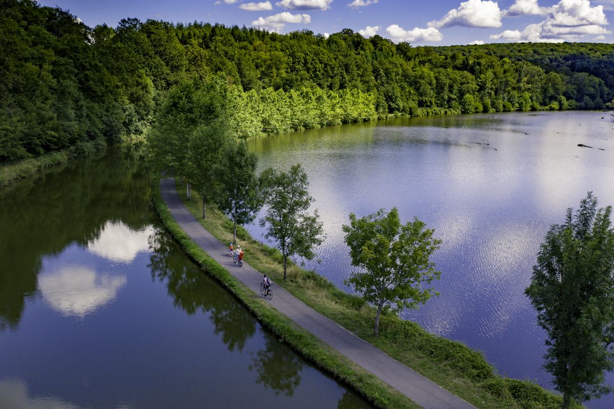
La Voie Bleue — “Cycle Route of the Year 2026”
Other adventures around Diedenhofen


Tips from the Community

A prominent hill on the banks of the Moselle on the opposite bank to Sierck Les Bains. In June at the St Jean Festival there is a rolling of a flaming wheel down the hill.
0
0

The Saint-Barthélémy church shapes the village landscape of Merschweiller in the Moselle department. The simple house of worship is dedicated to the Apostle Bartholomew and is among the most important historical buildings in the village. With its traditional architectural style and its quiet location, it is an important place of faith as well as regional history and community.
0
0

Beautiful village church surrounded by meadows.
4
0

🚉 Old Apach Train Station – Border Station with a Patina The disused Apach train station quietly speaks of times gone by, when cross-border trains still stopped here. The building, with its faded colors, old signs, and overgrown track surroundings, exudes a unique, melancholic charm – like a forgotten junction in the middle of the border triangle. 🕰️ Tip: Ideal for lost-place fans, railway romantics, and anyone who wants to search for traces between the past and the border.
0
0
🌾 **Étang du Tivoli – Nature Break near Volmerange-les-Mines (Wallingen)** The **Étang du Tivoli** is quietly located on the edge of **Volmerange-les-Mines** (German: **Wallingen**) – a small, natural pond surrounded by meadows, field paths, and sparsely scattered trees. 🐦 The spot is a popular stopover for walkers and cyclists, often visited by herons, ducks, and other waterfowl. A small bench invites you to rest with a view over the water. **Tip:** Ideal for a quiet break on a tour through the Lorraine border region – especially beautiful at sunrise or late evening light.
0
0
🛡️ **Ouvrage de Kobenbusch – Mighty Fortification of the Maginot Line** The **Ouvrage de Kobenbusch**, located south of Cattenom near the Luxembourg border, is one of the large underground fortifications of the **Maginot Line**. It was built between 1930 and 1935 and consisted of several combat blocks, underground connecting tunnels, a barracks, ammunition depots, and machine rooms – on several levels, anchored deep in the limestone. ⚙️ Particularly noteworthy: The technical systems were designed to be self-sufficient for months – including power generation, ventilation, a kitchen, and a hospital. The fort was occupied without a fight during World War II, continued to be used in part after the war, and is now privately owned. 🚷 It's **not open to the public**, but some ventilation towers and blockhouses are still visible in the forest near the D64 road (between Cattenom and Berg-sur-Moselle). **Tip:** For Maginot fans, a walk through the forest is worthwhile – with a little research, you'll find several bunker remains. Respect barriers, as some entrances are unstable or secured.
1
0
🗺️ **Bois de Cattenom – Section of the Maginot Line near Thionville** The **Bois de Cattenom** (also **Bois de Gattemont**) was part of the fortified section of the **Maginot Line**, strategically located between Thionville and the Moselle Valley. Several military installations were located here: including infantry bunkers, trenches, tank traps, and supply lines – embedded in the forest. 📍 The region included the **Ouvrage de Galgenberg**, smaller fortifications such as the **Abri du Bois de Cattenom**, and connecting roads to larger forts such as Rochonvillers or Immerhof. Some of the bunkers are still preserved and overgrown – silent witnesses to military preparations. **Tip:** This section is often not fully marked on hiking maps. Those interested in historical defense lines should take a detailed Maginot map with them and look specifically for entrances, ventilation towers, and observation posts. Particularly exciting in autumn when the leaves reveal the structures.
0
0
🛡️ **Ouvrage du Galgenberg – A Deep Look into the Maginot Line** The **Ouvrage de Galgenberg** is a large underground fortification of the **Maginot Line**, located south of Cattenom. It was built between 1930 and 1935 and served to defend the French border against Germany. The complex consists of several **combat bunkers**, **barracks**, **tunnels**, and **supply facilities** located deep underground. During the Cold War, the fort was modernized and remained in active use until the 1980s. 🔦 Today, it is accessible for guided tours (registration only), including a view of the original equipment: rails, power supply, ventilation systems, and gun emplacements. **Tip:** Ideal for military and history buffs – bring warm clothing, as it's chilly inside! Guided tours with former soldiers or experts are particularly impressive.
1
0
Frequently Asked Questions
How many family-friendly hiking trails are available in Diedenhofen?
Diedenhofen offers a wide variety of hiking options, with over 330 routes in total. Many of these, including more than 110 easy and 200 moderate trails, are suitable for families looking to explore the region's natural beauty.
What kind of terrain can we expect on family hikes in Diedenhofen?
Family-friendly hikes in Diedenhofen feature a diverse landscape. You can expect tranquil paths along the Moselle River and its canals, shaded trails through dense forests like the Forêt Domaniale de Moyeuvre-Grande, and gentle ascents in the region's varied hilly terrain. This mix provides engaging experiences for all ages.
Are there any easy, shorter walks suitable for young children?
Yes, there are many easy options perfect for younger children. For example, the Ouvrage du Kobenbusch – Lac du Mirgenbach loop from Sentzich is an easy trail that offers a pleasant experience with minimal elevation gain, ideal for little legs.
What interesting landmarks or attractions can we see along family-friendly hiking trails?
Many family-friendly trails in Diedenhofen pass by fascinating points of interest. You might encounter historical sites such as fortifications or châteaus. For instance, the Malbrouck Circuit explores the area around the historic Malbrouck Castle. Other trails offer views of natural monuments like the Stromberg Limestone Cliffs or scenic viewpoints such as the Perl Three-Country View — Monument and Viewpoint.
Are there any loop trails suitable for families in Diedenhofen?
Absolutely! Loop trails are a great way to explore without retracing your steps. The L'étang du Tivoli — loop from Moyeuvre-Petite is a popular moderate loop that takes you through forested areas and past the scenic Tivoli pond. Another option is the Maus Katti Fountain – Saint-Sauveur Chapel loop from Mondorff.
What do other hikers enjoy most about hiking in Diedenhofen?
The komoot community highly rates the hiking experiences in Diedenhofen, with an average score of 4.4 stars from over 21,000 reviews. Hikers often praise the region's varied terrain, from tranquil riverside paths to shaded forest trails, and the blend of natural beauty with historical sites. The well-maintained paths and diverse options for all skill levels are frequently highlighted.
Is parking available near family-friendly trailheads?
Yes, many family-friendly trailheads in Diedenhofen offer convenient parking options. It's always a good idea to check the specific route details on komoot for information on parking facilities at the start of your chosen hike.
Can we reach family-friendly hiking trails using public transport?
While some trails may be accessible via public transport, the region is generally best explored by car for direct access to a wider range of trailheads, especially those in more rural or forested areas. We recommend checking local public transport schedules and route starting points for specific options.
Are the family-friendly trails in Diedenhofen generally accessible for strollers?
While many paths are well-maintained, not all trails are suitable for strollers due to varied terrain, including forest paths and some hilly sections. For stroller accessibility, look for routes specifically marked as 'easy' and check the terrain description. Riverside paths are often a good starting point for finding stroller-friendly sections.
What is the best time of year for family hikes in Diedenhofen?
Spring and autumn are particularly pleasant for family hikes in Diedenhofen, offering mild temperatures and beautiful scenery. Spring brings blooming flora, while autumn showcases vibrant fall colors in the forests. Summer is also suitable, especially for shaded forest trails or riverside walks, but be mindful of warmer temperatures. Winter can be charming for a crisp walk, though some paths might be muddy or icy.
Are there dog-friendly options for family hikes in Diedenhofen?
Many trails in Diedenhofen are dog-friendly, allowing you to bring your furry family members along. It's generally recommended to keep dogs on a leash, especially in nature reserves or areas with livestock. Always ensure you carry water for your dog and clean up after them to keep the trails enjoyable for everyone.
What should we bring for a family hike in Diedenhofen?
For a comfortable family hike, we recommend bringing plenty of water, snacks, appropriate footwear for varied terrain, and weather-appropriate clothing. A small first-aid kit, sun protection, and insect repellent are also good to have. Don't forget a camera to capture the beautiful landscapes and any interesting sights you encounter!
Most popular routes around Diedenhofen
Most popular attractions around Diedenhofen

Get inspired with the komoot mobile app


Didn’t find what you were looking for?
Check out more Hikes throughout Diedenhofen below and find the perfect route in your destination.
Explore more
Browse the best Hikes in other regions.
