The best traffic-free bike rides around Aurillac
4.3
(368)
12,224
riders
124
rides
No traffic road cycling routes around Aurillac traverse a diverse volcanic landscape within the Cantal Mountains, part of the Massif Central. This region features Europe's largest stratovolcano, characterized by majestic peaks, high plateaus, and verdant valleys. Cyclists encounter challenging terrain with significant elevation changes, including demanding ascents and high mountain passes. The area also offers serene river gorges and extensive forests, providing varied scenery for road cycling.
Best no traffic road cycling routes around Aurillac
- The most popular no traffic…
Last updated: August 12, 2026
5.0
(1)
17
riders
43.4km
02:27
890m
880m
Moderate road ride. Good fitness required. Mostly well-paved surfaces and easy to ride.
21
riders
48.9km
02:40
840m
840m
Moderate road ride. Good fitness required. Mostly well-paved surfaces and easy to ride.

Sign up for free
5
riders
60.5km
03:17
1,160m
1,160m
Hard road ride. Very good fitness required. Mostly well-paved surfaces and easy to ride.
5
riders
51.1km
02:59
1,170m
1,160m
Hard road ride. Very good fitness required. Mostly well-paved surfaces and easy to ride.
4.9
(10)
320
riders
73.5km
03:59
1,510m
1,510m
Hard road ride. Very good fitness required. Mostly well-paved surfaces and easy to ride.
Get access to more routes and recommendations from other explorers.
Sign up for free
Already have an account?
Our route recommendations are based on thousands of hikes, rides, and runs completed by other people on komoot.
Start today with a free account
Your next adventure awaits.
Login or Signup
Popular around Aurillac

Traffic-free bike rides around Laroquevieille
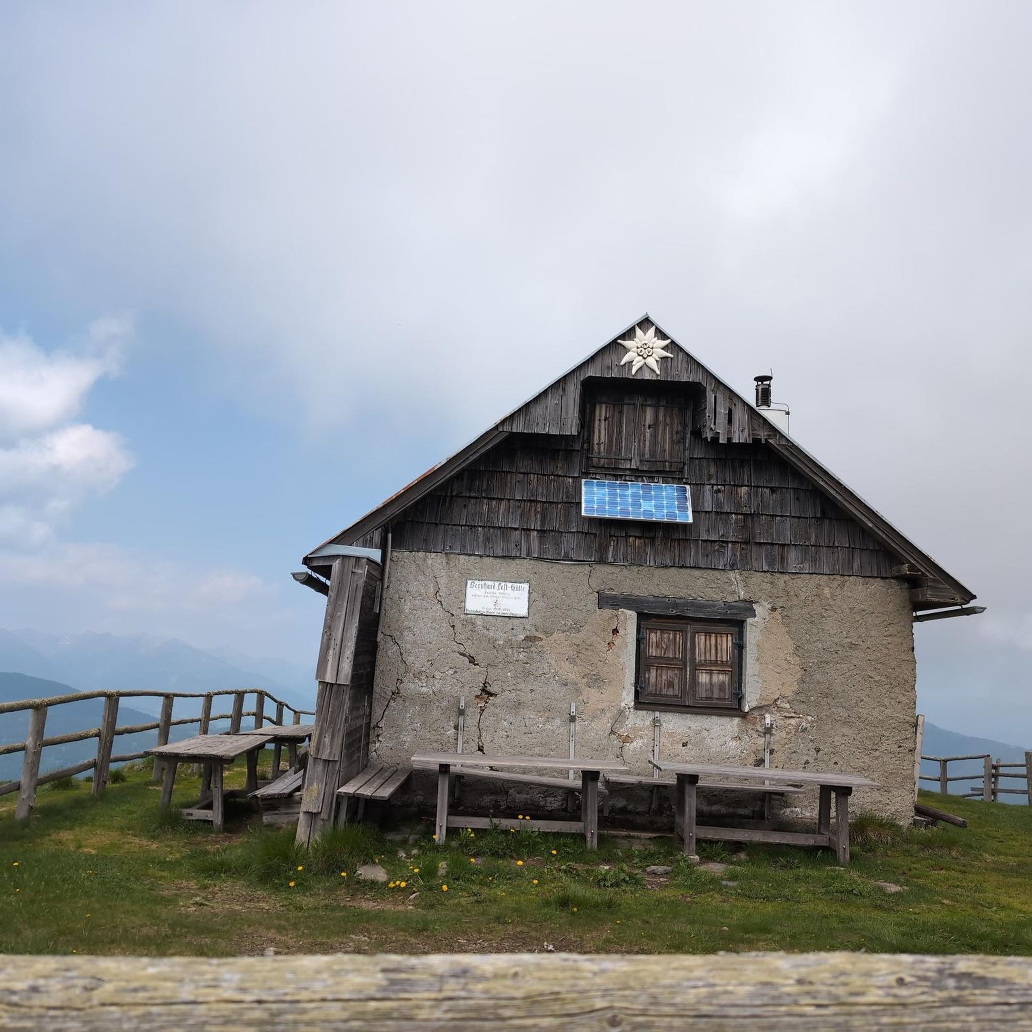
Traffic-free bike rides around Saint-Cirgues-De-Jordanne

Traffic-free bike rides around Girgols
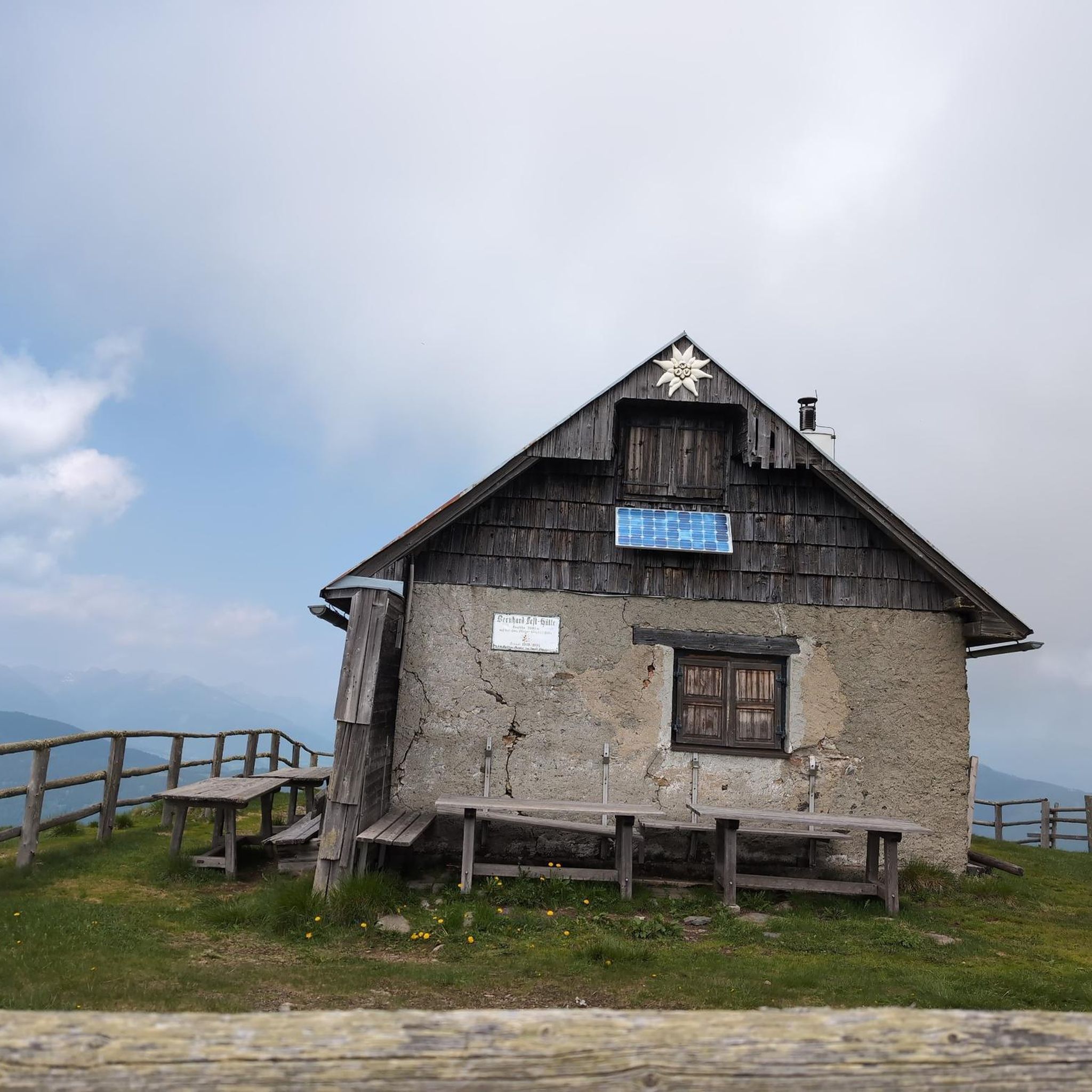
Traffic-free bike rides around Lascelle

Traffic-free bike rides around Tournemire
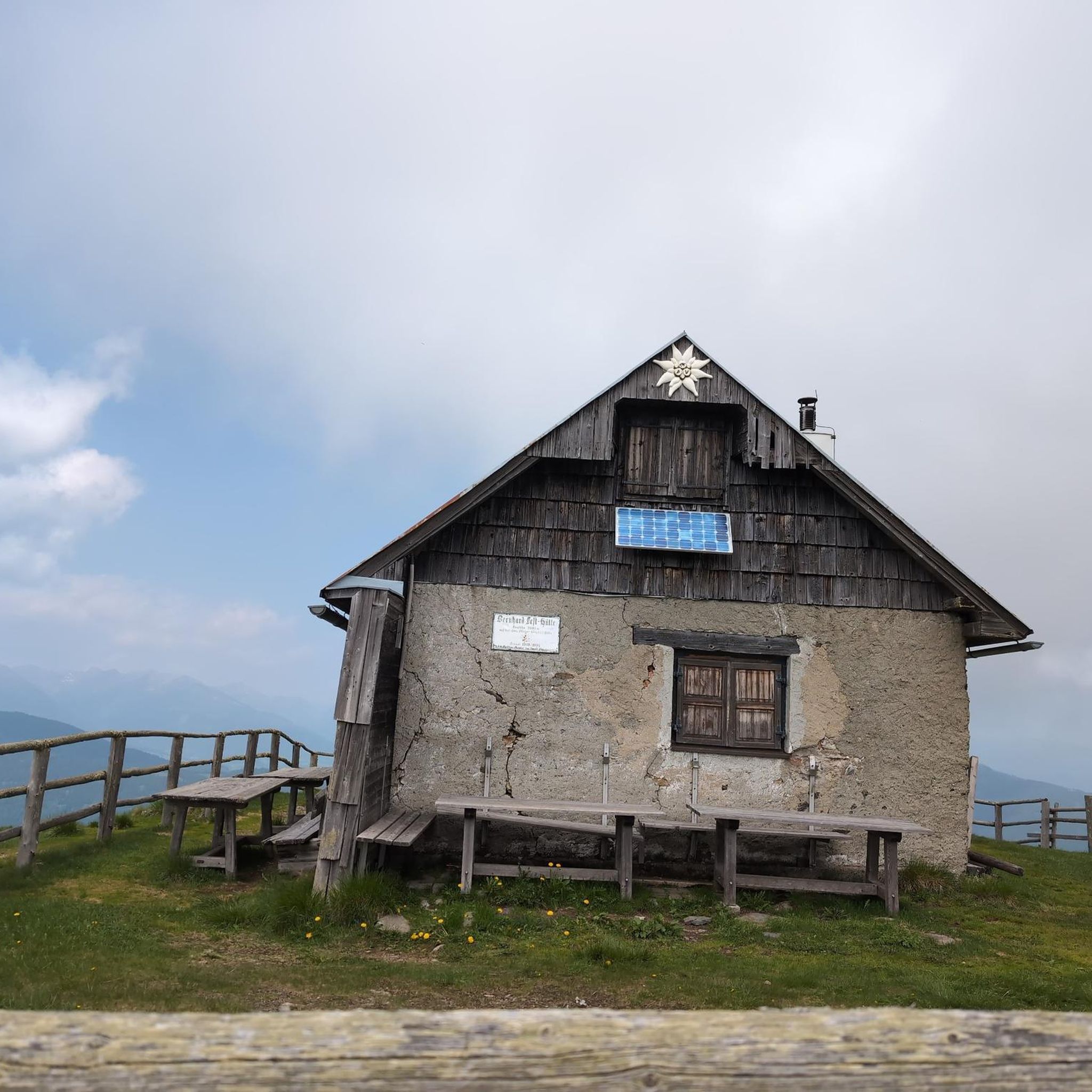
Traffic-free bike rides around Saint-Cirgues-De-Malbert

Traffic-free bike rides around Marcolès

Traffic-free bike rides around Ytrac
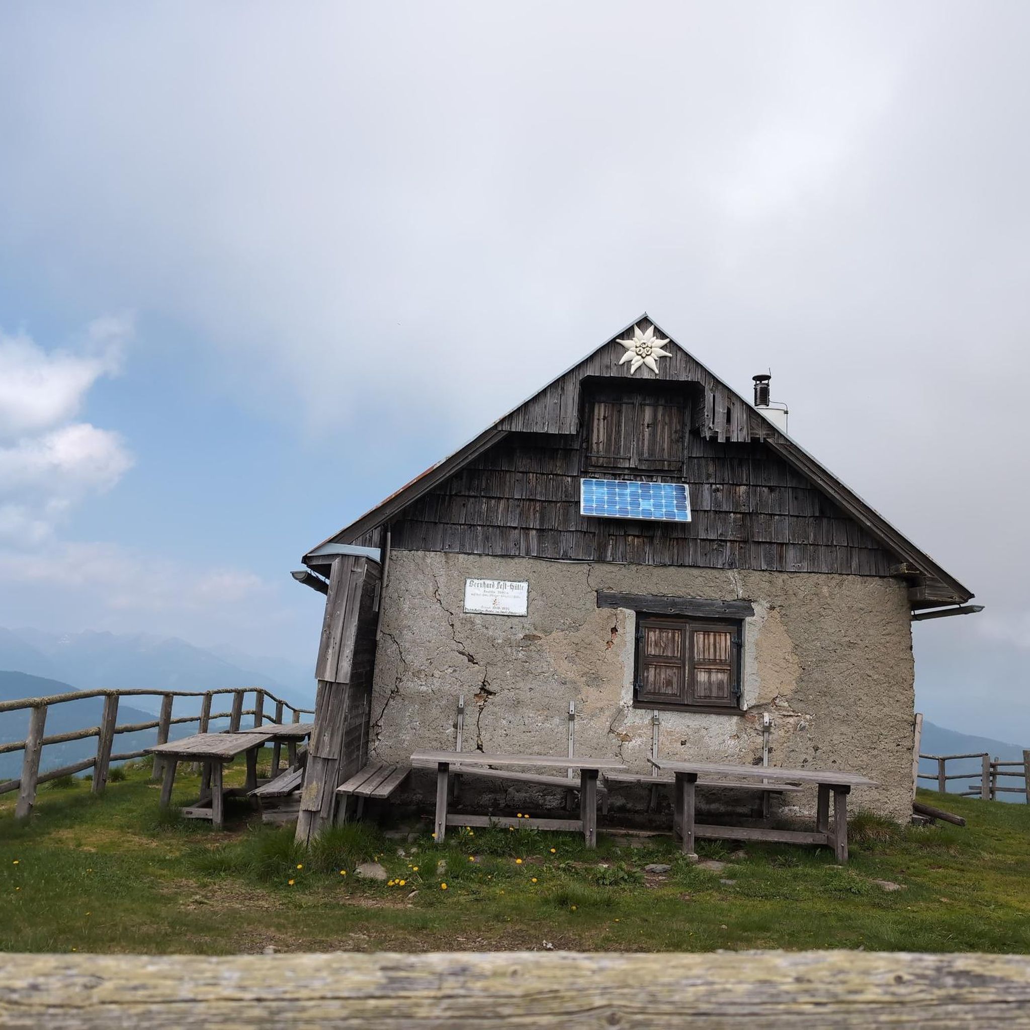
Traffic-free bike rides around Naucelles
Traffic-free bike rides around Giou-De-Mamou
Other adventures around Aurillac


Tips from the Community


nice little climb on a road bike far from everything with two small walls
0
0

Rain, visibility 1m, but otherwise great
0
0

Salers is a municipality in the Cantal department in the Auvergne-Rhône-Alpes region. The town is a completely preserved small town from the Renaissance period, with private and public buildings, city walls, defensive towers and a church. It was included in the association of the most beautiful villages in France. Despite its small population of around 300 inhabitants, the town is a historical, cultural and agricultural center in the sparsely populated mountain region of the Monts du Cantal. Source: https://de.wikipedia.org/wiki/Salers
3
0

Many centuries ago, our ancestors discovered the possibility of harnessing the power of the elements - which on the one hand could be helpful and useful, but on the other hand could also be a threat as untamed forces of nature - for various purposes and thus be able to do without human or animal muscle power. Mills like these are a good example of the human engineering skills of earlier generations: the heavy millstones used to grind grain into corn or press oil, for example, could be powered by the wind or - as here - water.
0
0

Beautiful asphalt road, in the Rance valley, between Saint-Étienne-de-Maurs and Roannes-Saint-Mary. Numerous signs, intended for cyclists, announcing the difference in altitude have been installed on the shoulders. In the fall, watch out for chestnuts on the road!
0
0
Small town of Marcolès with character. It has the particularity of hosting the international cycling criterium every year at the beginning of August.
1
0
Col de Légal, at an altitude of 1,231 meters, on the beautiful Route des Crêtes. It allows you to go from the Doire valley to the Bertrande valley, in the heart of the Pays de Salers. There you will find a small inn open all year round.
0
0
Frequently Asked Questions
How many no-traffic road cycling routes are available around Aurillac?
There are over 125 no-traffic road cycling routes around Aurillac listed on komoot, offering a wide range of options for different skill levels. You'll find routes varying from moderate to difficult, ensuring a suitable challenge for most riders.
What kind of terrain can I expect on no-traffic road cycling routes in Aurillac?
The terrain around Aurillac is dominated by the dramatic volcanic landscapes of the Cantal Mountains, part of the Massif Central. Expect challenging climbs and high mountain passes, such as the Pas de Peyrol, alongside vast high plateaus and lush, verdant valleys. Routes often feature quiet roads and exhilarating descents through untrammelled mountains.
Are there any challenging no-traffic road cycling routes for experienced riders?
Yes, Aurillac is renowned for its demanding ascents and high mountain passes. For a significant challenge, consider the Salers – Col de Saint-Georges (954 m) loop from Mandailles, which features over 1500 meters of elevation gain. Another demanding option is the Châtaigneraie Cantalienne Loop, covering over 50 km with more than 1100 meters of climbing.
What are some scenic no-traffic road cycling routes offering great views?
Many routes offer breathtaking panoramic views of the volcanic landscape. The RBX Cantal Volcano Loop provides stunning vistas around Puy Mary. You can also explore routes that pass through high plateaus and verdant valleys, offering diverse and picturesque scenery throughout your ride.
What do other road cyclists enjoy most about no-traffic cycling in Aurillac?
The komoot community highly rates road cycling in Aurillac, with an average score of 4.37 stars. Reviewers often praise the region's quiet roads, the challenging yet rewarding climbs, and the spectacular volcanic scenery, particularly around iconic peaks like Puy Mary and the Plomb du Cantal.
Are there any circular no-traffic road cycling routes around Aurillac?
Yes, many of the no-traffic road cycling routes in Aurillac are designed as loops, allowing you to start and finish at the same point. Examples include the Tour of Puy de Girgols via the Col de la Croix de Cheules - loop, a moderate 43 km ride, and the Côte de l'Enseigne par Marcolès et les plateaux - loop, which is nearly 49 km.
What is the best time of year for no-traffic road cycling in Aurillac?
The best time for road cycling in Aurillac is typically from late spring to early autumn (May to October). During these months, the weather is generally milder, and mountain passes are clear of snow. Summer offers the warmest temperatures, but spring and autumn provide pleasant conditions with fewer crowds and vibrant seasonal colors.
Are there any natural features or landmarks to look out for on these routes?
Absolutely. The region is rich in natural beauty. You'll encounter majestic mountains like the Plomb du Cantal and Puy Mary, vast high plateaus, and deep river gorges such as the Gorges de la Jordanne. The ancient volcanic landscape itself is a major highlight, offering unique geological formations and stunning vistas.
Is public transport available to access no-traffic road cycling routes near Aurillac?
While Aurillac is the main hub, public transport options directly to the start of specific remote routes might be limited. It's advisable to check local bus services or consider driving to a suitable starting point, especially for routes deeper within the Cantal Mountains. Aurillac itself is accessible by train.
Where can I find information about parking for no-traffic road cycling routes?
Parking availability varies by route. For routes starting directly from Aurillac, you can typically find public parking within the town. For routes in more rural areas, look for designated parking areas in villages or near popular trailheads. Always check local signage for any restrictions or fees.
Are there any cafes or amenities along the no-traffic road cycling routes?
While many routes offer a sense of remoteness, you'll often find small villages or towns along the way where you can stop for refreshments. It's always a good idea to carry sufficient water and snacks, especially on longer or more challenging routes, as amenities can be sparse in the higher mountain areas.
Most popular routes around Aurillac
Most popular attractions around Aurillac

Get inspired with the komoot mobile app


Didn’t find what you were looking for?
Check out more Road cycling routes throughout Aurillac below and find the perfect route in your destination.
Explore more
Browse the best Road cycling routes in other regions.
