The best traffic-free bike rides around Fiscal
4.1
(9)
73
riders
4
rides
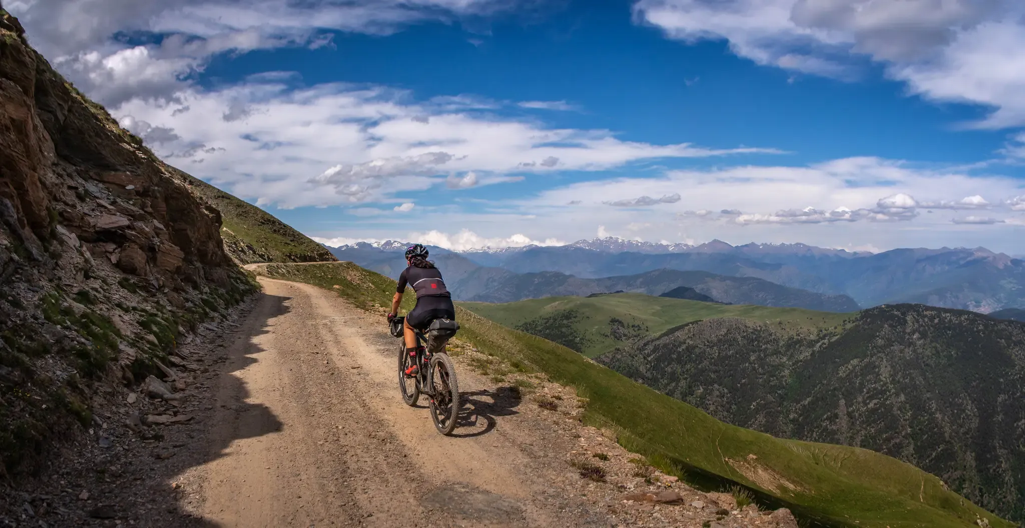
Gravel biking around Fiscal offers a network of trails characterized by significant elevation changes and varied terrain. The region features routes that traverse mountainous landscapes, often leading to historical sites and scenic viewpoints. Riders can expect paths that wind through valleys and ascend to higher elevations, providing a diverse experience for off-road cycling.
Best no traffic gravel bike trails around Fiscal
- The most popular no traffic gravel bike trail is Sieste Viewpoint – Boltaña Monastery loop from Boltaña, a…
Last updated: May 21, 2026
5.0
(10)
56
riders
38.7km
03:19
970m
970m
Hard gravel ride. Very good fitness required. Mostly paved surfaces. Suitable for all skill levels.
3.0
(1)
7
riders
47.8km
03:50
950m
950m
Hard gravel ride. Very good fitness required. Mostly paved surfaces. Suitable for all skill levels.

Sign up for free
4.3
(3)
6
riders
26.5km
03:00
960m
960m
Hard gravel ride. Very good fitness required. Mostly paved surfaces. Suitable for all skill levels.
4
riders
15.3km
01:01
200m
200m
Moderate gravel ride. Good fitness required. Mostly paved surfaces. Suitable for all skill levels.
6
riders
35.4km
02:45
840m
840m
Hard gravel ride. Very good fitness required. Mostly paved surfaces. Suitable for all skill levels.
Our route recommendations are based on thousands of hikes, rides, and runs completed by other people on komoot.
Start today with a free account
Your next adventure awaits.
Login or Signup
Popular around Fiscal

Other adventures around Fiscal

Tips from the Community

Refugio Ordiso (small alpine hut). The gravel road leads up to here, after which the single trails continue up the Bujaruelo Valley or into the Otal Valley.
0
0

Beautiful and scenic medieval bridge, the start of the paths that go up the Ara river valley
0
0

Beautiful bridge, also interesting is the medieval refrigerator next to it.
0
0

A lovely spot for a swim in the river. Next to the Bujaruelo refuge, accessible by car via a track. It's the starting point for several trails in the area.
0
0

Certainly correct - but the village is located somewhere else entirely.
0
1

An idyllic place to relax on the banks of the Ara River. To find quieter, more secluded spots, you can go upstream along either side of the river. Next to the bridge is the San Nicolás de Bujaruelo shelter and bar, with its camping and parking area.
0
0

Road to the top closed for cyclists, crazy.
0
0

The Bujaruelo Bridge is a 13th-century Romanesque bridge over the Ara River, in the province of Huesca, in the Aragonese Pyrenees. It is located in the Bujaruelo Valley, within the Bujaruelo - Los Navarros Gorge Site of Community Importance, and borders the Ordesa y Monte Perdido National Park. Next to the bridge are the remains of the San Nicolás de Bujaruelo hermitage and a camping area. It is a single-arch stone bridge. The bridge served as a crossing point for those crossing the Pyrenees in the past.
0
0
Frequently Asked Questions
What makes the gravel bike trails around Fiscal suitable for a 'no traffic' experience?
The routes curated for this guide are specifically chosen for their low-traffic or car-free nature, often utilizing quiet country roads, forest tracks, and dedicated paths. This ensures a peaceful and immersive gravel biking experience away from vehicular traffic.
How many no-traffic gravel bike trails are available in this guide?
This guide features 5 distinct no-traffic gravel bike trails. While all offer a serene experience, it's worth noting that 4 of these are rated as 'difficult', with one 'moderate' option available.
Are there any circular gravel bike routes available?
Yes, all the gravel bike routes in this guide are circular, allowing you to start and finish at the same point. For example, the Boltaña Monastery loop from Boltaña is a moderate circular route, perfect for exploring the area.
What kind of terrain can I expect on these no-traffic gravel trails?
You can expect a mix of gravel roads, forest paths, and potentially some sections of quiet asphalt. Given that most routes are rated 'difficult', be prepared for significant elevation changes and varied surfaces that require a good level of fitness and bike handling skills.
What are the typical distances and durations for these gravel bike routes?
The routes vary in length and duration. For instance, the Boltaña Monastery loop from Boltaña is around 15 km, while the challenging Jánovas Abandoned Village – Ruins of Ceresuela loop from Fiscal stretches over 68 km. Durations range from approximately 1 hour to over 5 hours, depending on the route and your pace.
Are there any challenging gravel routes for experienced riders?
Absolutely. Most of the routes in this guide are rated 'difficult', offering substantial climbs and technical sections. For a significant challenge, consider the Sieste Viewpoint – Boltaña Monastery loop from Boltaña, which covers over 31 km with more than 800 meters of elevation gain.
What interesting sights or natural attractions can I find along these routes?
The area boasts several natural attractions. You might encounter stunning waterfalls like the Soaso Steps Waterfalls or the Estrecho Waterfall. There are also beautiful natural features such as the Beech Forest and various viewpoints like Calcilarruego Viewpoint, offering panoramic views.
What do other gravel bikers enjoy most about these trails?
The routes in this guide are highly rated by the komoot community, with an average score of 4.11 stars. Reviewers often praise the tranquility of the car-free paths, the challenging climbs, and the stunning natural scenery, including the waterfalls and viewpoints.
Are there any routes that pass through settlements or offer opportunities to explore villages?
Yes, some routes pass near or through small settlements. For example, the Fanlo – El Chate loop from Broto starts near Broto and offers a chance to experience the local character. You might also encounter historical sites like the Jánovas Abandoned Village on one of the longer routes.
Is there a moderate gravel bike trail for those looking for a less strenuous ride?
Yes, there is one moderate route available: the Boltaña Monastery loop from Boltaña. This 15 km circular trail offers a more accessible option while still providing a great gravel biking experience away from traffic.
Most popular attractions around Fiscal

Get inspired with the komoot mobile app


Explore more
Browse the best Gravel rides in other regions.
