The best traffic-free bike rides around Segura De La Sierra
4.5
(6)
956
riders
20
rides
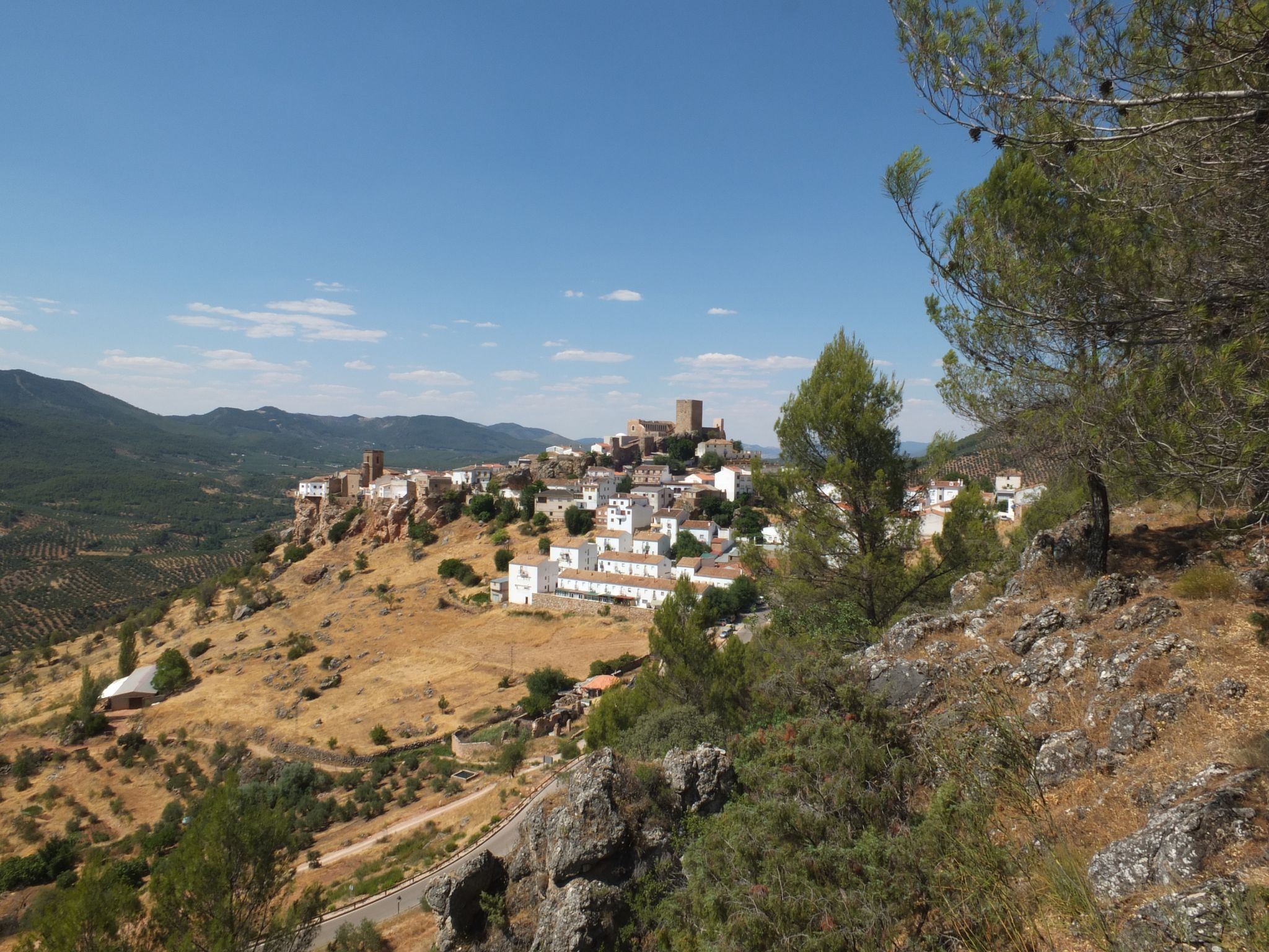
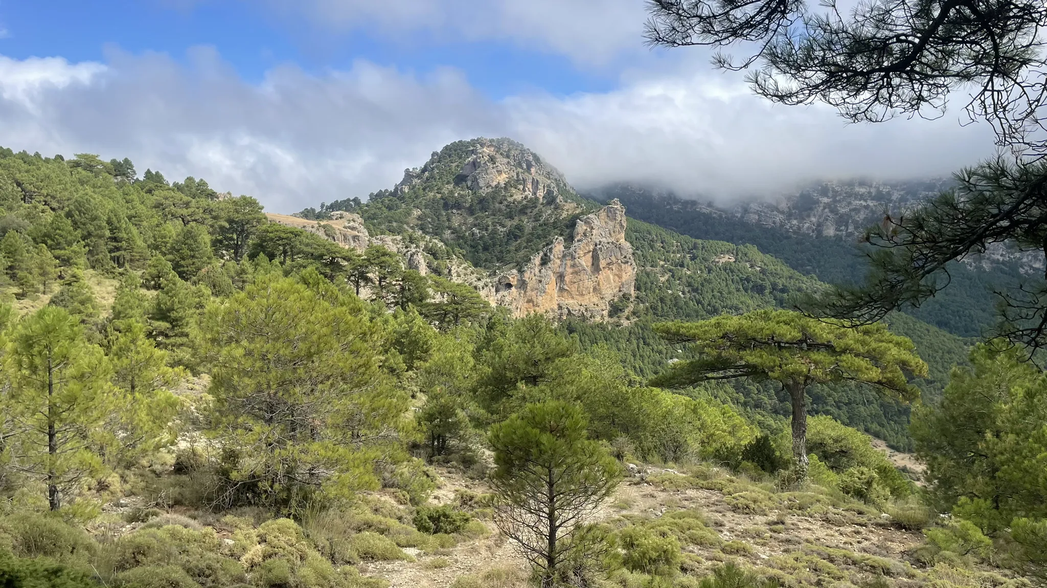
No traffic road cycling routes around Segura De La Sierra navigate the rugged mountainous terrain of the Sierras de Cazorla, Segura y Las Villas Natural Park. This region features extensive pine forests, deep valleys carved by rivers like the Guadalquivir and Segura, and diverse karstic formations. Cyclists encounter smooth asphalt routes that wind through rural scenery, offering varied elevation profiles. The landscape is characterized by peaks reaching up to 1,993 meters and vast olive groves.
Best no traffic road cycling…
Last updated: July 29, 2026
4
riders
55.0km
02:42
840m
840m
Moderate road ride. Good fitness required. Mostly well-paved surfaces and easy to ride.
30
riders
108km
05:59
2,320m
2,320m
Hard road ride. Very good fitness required. Mostly well-paved surfaces and easy to ride.

Sign up for free
21
riders
49.1km
03:03
1,280m
1,280m
Hard road ride. Very good fitness required. Some segments of this route may be unpaved and difficult to ride.
10
riders
48.1km
02:34
870m
870m
Moderate road ride. Good fitness required. Some segments of this route may be unpaved and difficult to ride.
7
riders
57.8km
02:59
940m
940m
Hard road ride. Very good fitness required. Mostly well-paved surfaces and easy to ride.
Get access to more routes and recommendations from other explorers.
Sign up for free
Already have an account?
Our route recommendations are based on thousands of hikes, rides, and runs completed by other people on komoot.
Start today with a free account
Your next adventure awaits.
Login or Signup
Popular around Segura De La Sierra



Other adventures around Segura De La Sierra


Tips from the Community

Beautiful and elevated road that allows you to see the set of landscapes that lie at the foot of the valleys. The road winds from one side to the other!
0
0
From this curve you can see a good panorama of the whole of the Embalse del Tranco and the whole of the Sierra de Cazorla that surrounds it.
0
0

It is a beautiful municipality on the banks of the Guadalimar river. It is located at the foot of the Sierra del Segura and is a strategic point for adventurers who want to explore it, both on foot and by bicycle.
1
0
It is a charming district that belongs to the Segura de la Sierra region. It is located at the foot of Mount El Yelmo, a well-known place for hiking in the middle of nature.
0
0
This charming town belongs to the Sierra del Segura region. It is surrounded by hills full of olive groves. Many consider this town the door to the mountains, since it is the starting point of several hiking trails.
0
0

easy route ... well paved road and no traffic
0
0

Small refugio in good condition. There is no water inside but a little further down the road there is a fountain. However, it was dried up when I was there in April, 2023.
1
1

The Tranco reservoir is one of the largest in Spain.
0
0
Frequently Asked Questions
How many no traffic road cycling routes are available in Segura de la Sierra?
There are over a dozen dedicated no traffic road cycling routes in Segura de la Sierra, offering a variety of distances and elevations. These routes are designed to provide a serene cycling experience away from vehicular traffic, allowing you to fully immerse yourself in the natural beauty of the Sierras de Cazorla, Segura y Las Villas Natural Park.
What is the best time of year for road cycling in Segura de la Sierra?
The region is excellent for cycling for much of the year. Spring and autumn offer pleasant temperatures and vibrant landscapes, ideal for exploring. While summers can be warm, the higher elevations provide cooler conditions. Winters are generally mild, though some higher passes might experience colder weather. Always check local forecasts before heading out.
Are there any circular no traffic road cycling routes?
Yes, many of the no traffic road cycling routes in Segura de la Sierra are circular, allowing you to start and end your ride in the same location. For example, the challenging route Embalse del Anchuricas by the Mirador de La Novia — circular by the Sierra de la Graña offers stunning valley views and a full loop experience. Another option is the moderate La Puerta de Segura y Puente de Génave — circular desde Orcera, which explores the surrounding villages.
What kind of natural features can I expect to see along these routes?
Segura de la Sierra is rich in natural beauty. You'll encounter extensive pine forests, deep valleys carved by rivers like the Guadalquivir and Segura, and numerous streams. Notable natural highlights include the crystal-clear waters of the Source of the Segura River, the dramatic Despiernacaballos Pass, and various reservoirs such as the Tranco de Beas Reservoir. The diverse geology and traditional olive groves also add to the scenic appeal.
Are there any historical landmarks or viewpoints along the no traffic routes?
Absolutely. The region is dotted with historical sites and breathtaking viewpoints. The village of Segura de la Sierra itself is a Historic-Artistic Site, featuring the impressive Segura de la Sierra Castle with panoramic views. You might also pass by the Imperial Fountain of Carlos III. For stunning vistas, look out for viewpoints like the Isla Cabeza de la Viña Viewpoint, offering expansive views of the natural park. The route Hornos de Segura – Hornos Viewpoint loop from Pontones specifically highlights a scenic viewpoint.
What is the difficulty level of the no traffic road cycling routes?
The routes in Segura de la Sierra cater to a range of abilities. While all routes offer a no-traffic experience, the terrain can be challenging due to the mountainous landscape. You'll find a mix of moderate and difficult routes, with significant elevation gains. For instance, the C.F. El Campillo Shelter – El Yelmo Peak loop from Hornos is rated as difficult, featuring substantial climbs. It's advisable to check the elevation profiles of individual routes to match your fitness level.
What do other cyclists say about road cycling in Segura de la Sierra?
The komoot community highly rates road cycling in Segura de la Sierra, with an average score of 4.5 out of 5 stars. Reviewers often praise the stunning natural landscapes, the tranquility of the no-traffic roads, and the rewarding climbs that offer incredible panoramic views of the Sierras de Cazorla, Segura y Las Villas Natural Park.
Are there any specific permits required for cycling in the natural park?
Generally, no specific permits are required for road cycling on established routes within the Sierras de Cazorla, Segura y Las Villas Natural Park. However, it's always good practice to respect local regulations, stay on marked paths, and be mindful of wildlife and the environment. For specific inquiries about protected areas or off-road cycling, it's best to consult the park's official information points.
Where can I find parking for my car when starting a road cycling route?
Parking is typically available in or near the villages that serve as starting points for many routes, such as Segura de la Sierra, Hornos, or Orcera. These villages often have designated parking areas. It's recommended to check the specific starting point of your chosen route for the most convenient parking options.
Can I reach Segura de la Sierra by public transport for cycling?
Reaching Segura de la Sierra and its surrounding areas primarily relies on road access. While there might be limited bus services connecting to larger towns in the Jaén province, direct public transport options specifically catering to cyclists with bikes can be scarce. It's often more practical to travel by car to the region, especially if you're bringing your own bicycle.
Are there any routes that pass by significant bodies of water or reservoirs?
Yes, several routes offer views of or pass by significant bodies of water. The region is known for its hydrological importance, with rivers like the Guadalquivir and Segura, and various reservoirs. The C.F. El Campillo Shelter – Segura de la Sierra loop from Cementerio Municipal, for example, explores areas with water features. The Tranco de Beas Reservoir is a prominent feature in the landscape and is often incorporated into cycling routes, offering tranquil moments and photographic opportunities.
Most popular routes around Segura De La Sierra
Most popular attractions around Segura De La Sierra

Get inspired with the komoot mobile app


Explore more
Browse the best Road cycling routes in other regions.
