The best traffic-free bike rides around Villamartín
4.8
(4)
31
riders
6
rides
Gravel biking around Villamartín offers diverse landscapes, from river valleys to gentle hills, with both paved and unpaved segments. The region encompasses vehicle-width gravel tracks, single-track trails, forests, and grass meadows, providing a dynamic riding experience. It provides access to the Sierra de Cádiz and the rugged mountains of Sierra de Grazalema Natural Park, featuring unique Spanish fir forests and striking geological formations. The area is characterized by Mediterranean scenery, including pine trees, enhancing the aesthetic appeal of the rides.
…Last updated: May 21, 2026
4.8
(4)
14
riders
45.4km
02:45
580m
580m
Hard gravel ride. Very good fitness required. Mostly paved surfaces. Suitable for all skill levels.
4.0
(1)
13
riders
35.2km
02:10
470m
470m
Hard gravel ride. Very good fitness required. Mostly paved surfaces. Suitable for all skill levels.

Sign up for free
3
riders
34.8km
02:38
680m
670m
Hard gravel ride. Very good fitness required. Mostly paved surfaces. Suitable for all skill levels.
4
riders
45.2km
02:56
580m
580m
Hard gravel ride. Very good fitness required. Mostly paved surfaces. Suitable for all skill levels.
2
riders
77.9km
05:30
760m
750m
Hard gravel ride. Very good fitness required. Mostly paved surfaces. Suitable for all skill levels.
Our route recommendations are based on thousands of hikes, rides, and runs completed by other people on komoot.
Start today with a free account
Your next adventure awaits.
Login or Signup
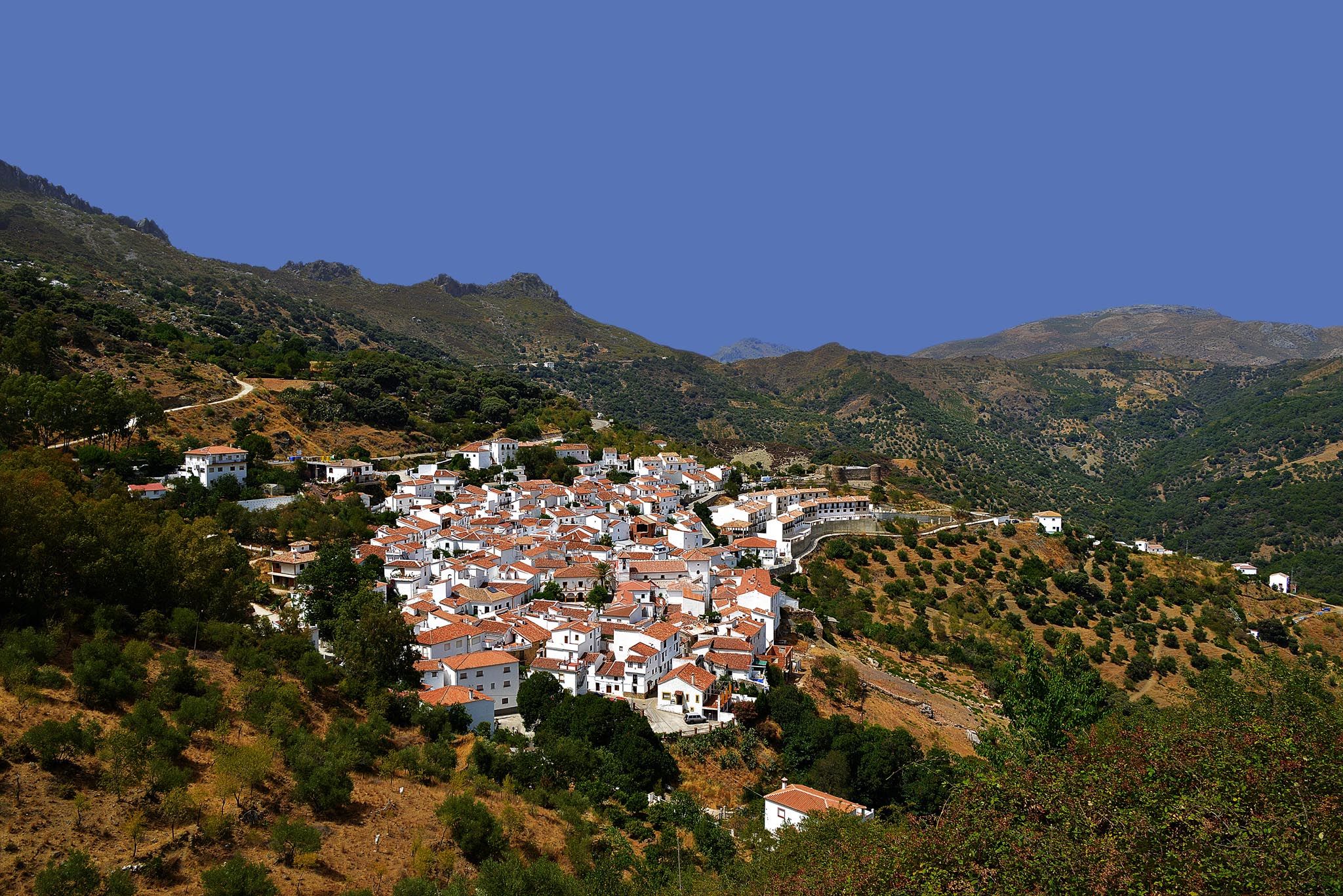
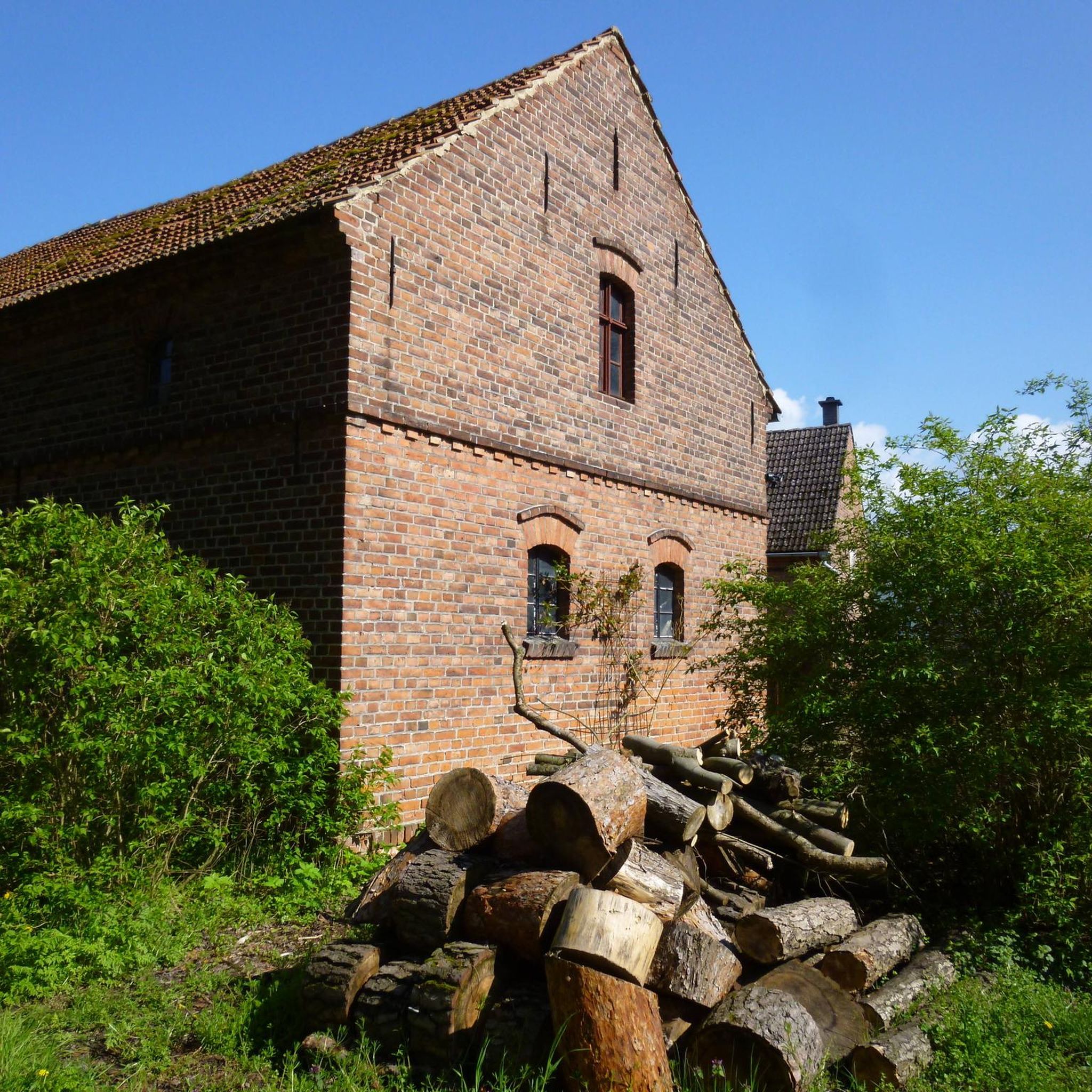

Other adventures around Villamartín

Tips from the Community


A 135-meter-long viaduct, built using rectangular truncated pyramidal pilasters with mortared ashlars, is formed by the repetition of seven identical arches. It was built to span the Guadalporcún River crossing before it meets the Guadamanil River. The latter originates in the Sierra de la Lebrona mountain range in the municipality of Pruna (Seville) and flows into the Guadalporcún River just a few meters from the viaduct. The confluence of the rivers has created a wide floodplain. From this railway infrastructure, there is a privileged view of the Estrechón Canyon, a natural passage carved by the Guadalporcún River to traverse the foothills of the Zaframagón Rock. Just below, on the left bank of the Guadalporcún, we find the ruined building of what was once the Zaframagón mill. A little further west, other ruins can be seen. It is a small town built for workers on the railway line construction site.
8
0
Viaduct of 237 meters long, built by means of truncated pyramidal pilasters with a rectangular plan with mortared bluestones. It consists of 9 openings, eight of which are the same, and the fourth (counting from the station) with a larger arch. It is the longest viaduct of the nature trail, built to cross the junction with the Guadalporcún River.
7
0
Viaduct of 83 meters long, built by means of truncated pyramidal pilasters with a rectangular plan with mortared bluestones. Formed by the repetition of 5 equal openings. It was designed and built to save a deep ravine dug by a tributary of the Guadalporcún River.
8
0
Railway tunnel no. 23 of the Sierra Greenway Nature Trail. Located 923 meters from the previous tunnel, it is 125 meters long and has no artificial lighting, so a flashlight is recommended. This tunnel is excavated into the side of a clay hill.
8
0
Viaduct of 65 meters long, built by means of truncated-pyramidal pilasters with a rectangular plan with mortared bluestones. Formed by the repetition of 3 equal spans. Built to save the bed of the Azar stream. Less than 100 meters away there is a small rest area from where you have a good view of the Guadalete river at the exit of the Villalón meander, at the foot of the Cerro del Castellar.
7
0
The terminus of the Vía Verde de la Sierra between Olvera (Cádiz) and Puerto Serrano, built on the old railway infrastructure between Jerez de la Frontera and Almargen, built at the beginning of the twentieth century but never used due to a collective suicide of more than 20 inhabitants, which was created by a Masonic sect. The station is currently dedicated to rural tourism.
9
0

Beautiful expanse. But also invites the wind
0
0
Frequently Asked Questions
What kind of terrain can I expect on the no-traffic gravel bike trails around Villamartín?
The no-traffic gravel bike trails around Villamartín offer a diverse riding experience. You'll encounter vehicle-width gravel tracks, some single-track sections, and paths through forests and grass meadows. The region's routes often combine paved and unpaved segments, traversing river valleys and gentle hills, providing a dynamic landscape for gravel biking.
How many no-traffic gravel bike trails are included in this guide?
This guide features 6 carefully selected no-traffic gravel bike trails around Villamartín. These routes range from moderate to difficult in terms of challenge, ensuring options for various skill levels.
What is the best time of year for gravel biking around Villamartín?
Villamartín benefits from a climate with numerous sunny days, making it suitable for year-round outdoor activities. However, for the most comfortable gravel biking experience, spring and autumn offer pleasant temperatures. Summers can be hot, while winters are generally mild.
Are there any family-friendly no-traffic gravel bike trails suitable for all ages?
Yes, the region offers options suitable for families. The Majaceite River Trail, though not explicitly listed as a full route in this guide, is a low-difficulty path ideal for families, known for its beautiful gallery forest. For a longer, well-maintained option, parts of the Vía Verde de la Sierra are excellent for family rides, offering a smooth surface and scenic views.
Can I bring my dog on these no-traffic gravel bike trails?
Many outdoor trails in the region, especially those outside protected natural park zones, are generally dog-friendly, provided your dog is well-behaved and kept under control. However, within the Sierra de Grazalema Natural Park, specific regulations may apply to protect wildlife. It's always best to check local signage or park authority guidelines for the specific trail you plan to ride, especially regarding leash requirements.
Are there places to eat or stay along the no-traffic gravel bike routes?
Yes, especially along popular routes like the Vía Verde de la Sierra, you'll find cafes, pubs, and accommodation in the smaller villages it passes through. Villamartín itself and nearby towns also offer various cycling-friendly accommodation options and eateries to refuel after your ride.
What can I see along the no-traffic gravel bike trails?
The trails offer a mix of natural beauty and historical sights. You can explore the impressive Sierra de Cádiz and the rugged mountains of the Sierra de Grazalema Natural Park. Along the Vía Verde de la Sierra, you'll pass through tunnels and over viaducts like the impressive Viaducto de Los Azares, with opportunities to spot Griffon Vultures. The Majaceite River Trail features old mills and the Ruins of the Majaceite River Water Mill, surrounded by small waterfalls.
Do I need any special permits to cycle in the Sierra de Grazalema Natural Park?
While many trails are freely accessible, certain areas within the Sierra de Grazalema Natural Park, particularly those with sensitive ecosystems or restricted access, may require permits for activities like cycling or hiking. It's advisable to check with the park's official visitor center or website before planning your ride, especially if you intend to venture off well-established routes.
Is there parking available near the no-traffic gravel bike trails?
Yes, many trailheads and starting points for popular routes, such as those along the Vía Verde de la Sierra, often have designated parking areas. For routes starting from towns like Puerto Serrano or Montellano, you can typically find public parking options. Always check specific route descriptions for recommended parking locations.
What do other gravel bikers enjoy most about gravel biking in Villamartín?
The area is highly rated by the komoot community, with an average score of 4.75 stars. Reviewers often praise the diverse landscapes, the quietness of the no-traffic routes, and the blend of natural beauty with historical points of interest. The well-maintained surfaces of routes like the Castillo Tunnel – El Chaparro de la Vega loop are frequently highlighted.
Are there any circular no-traffic gravel bike routes available?
Yes, this guide includes several circular routes designed for gravel biking without traffic. For example, the Vía Verde de la Sierra – Zaframagón Viaduct loop from Puerto Serrano and the Venta Julián – Prado del Rey loop from Prado del Rey are excellent circular options, allowing you to start and end in the same location.
What are some of the longer no-traffic gravel bike routes in the area?
For those seeking longer rides, the Venta Diego – Castle of Los Molares loop from Montellano is a challenging option covering approximately 78 km. Another substantial route is the Castillo Tunnel – Vía Verde de la Sierra loop from Montellano, which is around 45 km long.
Most popular routes around Villamartín
Most popular attractions around Villamartín

Get inspired with the komoot mobile app


Explore more
Browse the best Gravel rides in other regions.
