The best traffic-free bike rides around Villanueva Del Río Y Minas
4.0
(2)
27
riders
6
rides
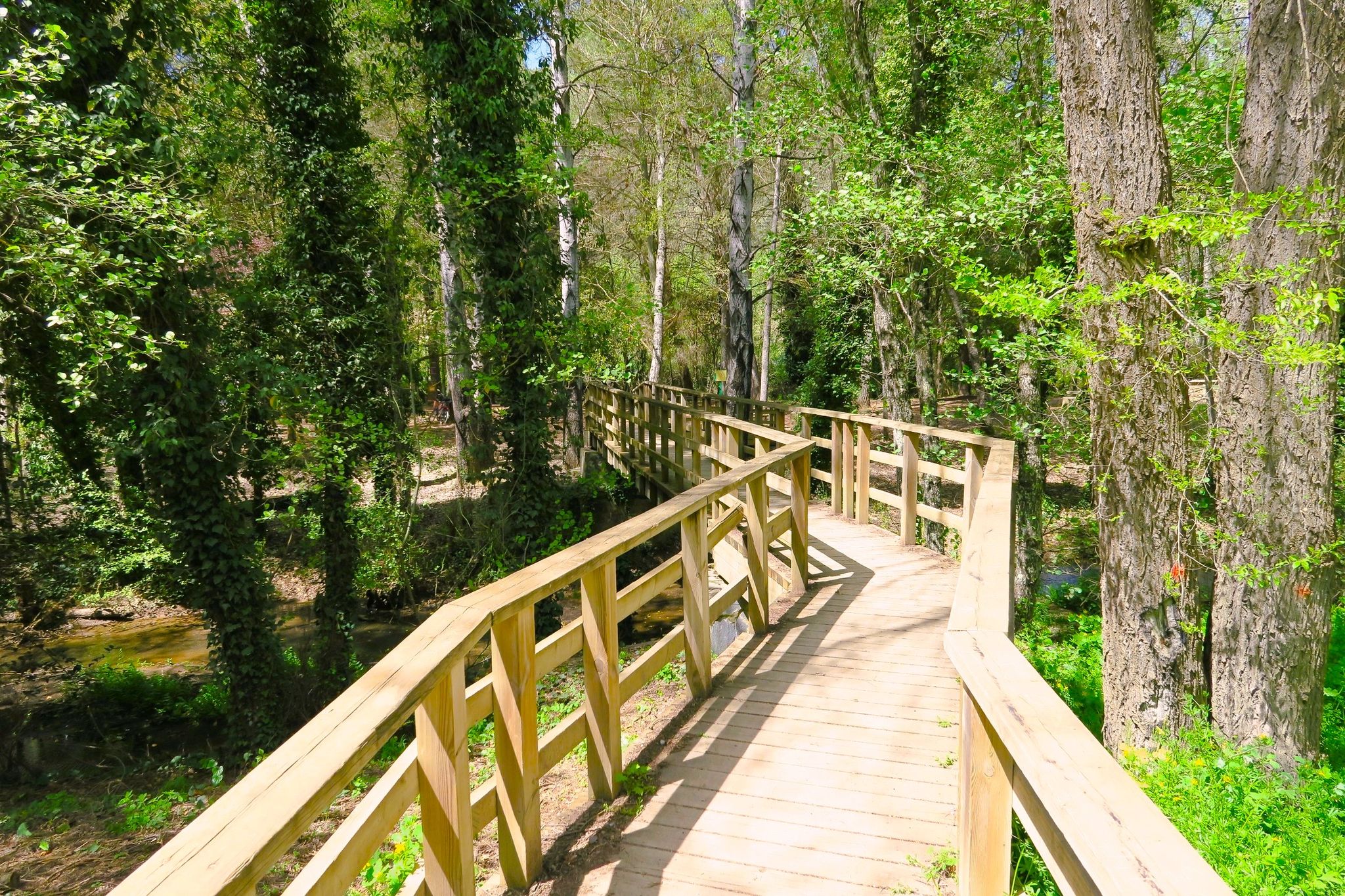
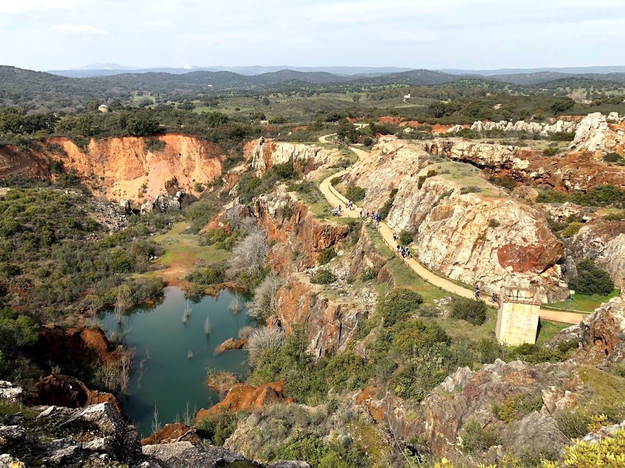
Gravel biking around Villanueva Del Río Y Minas offers access to varied terrain at the foothills of Sierra Morena and the Sierra Norte de Sevilla Natural Park. The region features a blend of mountainous landscapes, riverine environments along the Huéznar River, and extensive trail networks. Cyclists can navigate through areas characterized by diverse gradients and natural features, including the Arenales del Parroso Nature Reserve. This geography provides a range of unpaved routes suitable for gravel biking.
Best no traffic gravel…
Last updated: November 1, 2026
5.0
(1)
5
riders
60.2km
04:17
590m
590m
Hard gravel ride. Very good fitness required. Mostly paved surfaces.
3
riders
102km
06:57
1,110m
1,110m
Hard gravel ride. Very good fitness required. Mostly paved surfaces.

3
riders
88.7km
05:57
1,010m
1,010m
Hard gravel ride. Very good fitness required. Mostly paved surfaces.
2
riders
112km
07:12
1,310m
1,310m
Hard gravel ride. Very good fitness required. Mostly paved surfaces.
2
riders
51.2km
03:23
540m
540m
Hard gravel ride. Very good fitness required. Mostly paved surfaces.
Our route recommendations are based on thousands of hikes, rides, and runs completed by other people on komoot.
Start today with a free account
Your next adventure awaits.




Tips from the Community

El Pedroso is a municipality in the province of Seville, Spain, with a population of 2,074. It is located in the Sierra Norte region of Andalusia. The municipality is part of the Sierra Norte Natural Park. ...
0
0

The Mirador Cerro del Calvario is a beautiful observation point located in the Sierra Norte de Sevilla Natural Park, near Almadén de la Plata. This viewpoint offers spectacular views of the region and is a popular hiking spot. The route to the viewpoint is moderate and accessible for most fitness levels. Also near the viewpoint is El Chorro Waterfall, another natural attraction worth visiting.
6
0

Villaverde del Río is a municipality in the province of Seville, located in the autonomous community of Andalusia, in southern Spain. It is a rural town located in the fertile plains of the Guadalquivir River, northeast of the city of Seville. In front of the town hall there is a beautiful fountain.
5
0
Cantillana is a charming village in the province of Seville, in the heart of Andalusia, Spain. It is located on the banks of the Guadalquivir River, giving it a picturesque location with rich vegetation and beautiful views. Cantillana has a rich history dating back to Roman times and offers several historical sites, such as the Piedra del Moro and the remains of the old city walls. The Torre del Reloj is an impressive building that forms part of the historical heritage of the village. The village is also known for its religious monuments, such as the Iglesia del Dulce Nombre de Jesús y Santa Misericordia and the Ermita de San Bartolomé. These churches and chapels are beautifully preserved and offer a glimpse into the religious and cultural traditions of the region.
6
0
The Ermita de San Bartolomé in Cantillana is a historic chapel originally built in the 15th century. The chapel is located in the Plaza de Llano, a central square in Cantillana. It has a basilica plan with three naves, separated by brick columns supporting pointed arches. The roof is wooden, with a central coffered ceiling and hanging on the sides. The exterior has been intensely transformed, highlighting the main entrance of the eighteenth century. The chapel has a beautiful main door from the 18th century and contains several altarpieces and statues, including the image of Jesus of Nazareth and Saint Bartholomew. Currently the hermitage of San Bartolomé houses the images of Our Lady of the Assumption, Saint Bartholomew, Our Father Jesus and Our Lady of Consolation, from the Baroque period, and the painting of Saint Catherine of Alexandria, from the eighteenth century, with some interest in the wall paintings with themes of angels with inscriptions between rock formations, datable to very late dates in the eighteenth century
6
0
Note that on top of the tower you can also find a stork's nest. The valley of the Río Guadalquivir is also popular with storks.
6
0
The Torre del Reloj in Cantillana is a historic tower originally built in the 12th century during the Almohad period. This tower was part of the city wall that surrounded Cantillana, and was an important defensive structure. The tower is made of tapial (a type of mortar) on a foundation of stones that may have come from an older Roman construction. In the 18th century, the tower was given a sundial on the south wall, which gave it its name "Torre del Reloj" (Tower of the Clock). Later, in the 19th century, a clock tower was added. The tower also has a coat of arms on the front with an eagle and a castle, the arms of the Counts of Cantillana, the Vicentelos de Leca
6
0
The Iglesia de la Purísima Concepción in Villaverde del Río is located on the Plaza Blas Infante and is a popular place for both locals and visitors. The church is of Baroque style and consists of a single, spacious nave closed by a beautiful plaster cross vault. The façade of the church is adintel and is flanked by pilasters that crown a pediment with a pinnacle. Inside the church is a neoclassical altarpiece in which the Purísima Concepción is venerated, along with portal altarpieces of Santa Rita and San Sebastián.
8
0
Frequently Asked Questions
How many no-traffic gravel bike trails are available around Villanueva Del Río Y Minas?
This guide features 3 dedicated no-traffic gravel bike trails around Villanueva Del Río Y Minas. These routes are generally considered difficult, offering a challenging experience through the region's diverse landscapes.
What kind of terrain can I expect on these no-traffic gravel trails?
The no-traffic gravel trails around Villanueva Del Río Y Minas traverse a varied landscape. You can expect mountainous terrain with abundant vegetation in the Sierra Morena foothills and Sierra Norte de Sevilla Natural Park, offering varied gradients. The region also includes flatter riverine environments closer to the Vega del Guadalquivir, providing a mix of surfaces and scenic views.
Are there any circular no-traffic gravel routes available?
Yes, all the no-traffic gravel routes featured in this guide are circular. For example, the Cuesta de Los Melonares – Climb in Burguillos loop from Cantillana and the Mulejía Scenic Road – Lago Azul loop from Tocina are both designed as loops, bringing you back to your starting point.
What natural features or landmarks can I see along the no-traffic gravel bike trails?
The trails offer access to several natural and historical highlights. You might encounter the scenic Lago Azul, the expansive Huéznar Reservoir, and the distinctive Villanueva del Río y Minas Bridge. The region's natural beauty, including the Sierra Morena foothills and the Sierra Norte de Sevilla Natural Park, provides captivating landscapes throughout your ride.
Can I visit the Archaeological Site of Mulva-Munigua by gravel bike?
While the guide doesn't feature a direct route to it, the Archaeological Site of Mulva-Munigua is a significant historical attraction in the area. The journey to the site itself is known for its scenic beauty, suggesting that surrounding paths could be incorporated into a gravel biking adventure. It's an excellent cultural detour amidst natural surroundings.
Are there any family-friendly no-traffic gravel trails?
The routes listed in this guide are generally rated as 'difficult' due to their distance and elevation gain, making them more suitable for experienced gravel bikers. For families, it's advisable to look for shorter, flatter sections or dedicated bike lanes within Villanueva del Río y Minas itself, as the longer no-traffic trails might be too challenging.
What is the best time of year for gravel biking in Villanueva Del Río Y Minas?
The region experiences hot summers, so spring and autumn are generally the most pleasant seasons for gravel biking. The weather is milder, and the natural landscapes are vibrant. Winter can also be suitable, but always check local weather conditions, especially for rain which can affect trail surfaces.
Where can I park my car when accessing these no-traffic gravel trails?
While specific parking details for each route are not provided in this guide, Villanueva del Río y Minas and nearby towns like Cantillana and Tocina (starting points for some routes) typically offer public parking options. It's recommended to check local parking availability near your chosen starting point before your ride.
Is public transport an option for reaching the starting points of these gravel trails with my bike?
Villanueva del Río y Minas and surrounding towns are connected by regional public transport. However, policies regarding bikes on buses or trains can vary. It's best to check with the specific transport provider for their bike carriage rules and schedules before planning your trip.
Are there any cafes or places to refuel near the no-traffic gravel routes?
The routes often pass through or near towns like Cantillana and Tocina, which offer amenities such as cafes, shops, and restaurants where you can refuel. It's always a good idea to carry sufficient water and snacks, especially on longer sections between towns, as the trails themselves are in natural, less developed areas.
What is the longest no-traffic gravel route in this guide?
The longest no-traffic gravel route featured in this guide is the Mulejía Scenic Road – Lago Azul loop from Tocina, covering a distance of approximately 88.7 kilometers with over 1000 meters of elevation gain. This route offers an extensive exploration of the region's diverse landscapes.
Most popular routes around Villanueva Del Río Y Minas
Most popular attractions around Villanueva Del Río Y Minas

Get inspired with the komoot mobile app


Explore more
Browse the best Gravel rides in other regions.
