The best traffic-free bike rides around Riofrío De Aliste
25
riders
3
rides
No traffic touring cycling routes around Riofrío De Aliste traverse a region characterized by the undulating mountains of the Sierra de la Culebra, featuring a mix of diverse landscapes and natural features. The area includes extensive forests of pine, oak, and chestnut trees, alongside numerous rivers and streams like the Aliste River, which carve deep valleys. This terrain offers varied cycling experiences, from well-paved surfaces to some unpaved segments, providing a dynamic environment for touring cyclists.
Best no traffic touring…
Last updated: May 20, 2026
7
riders
29.3km
02:49
570m
570m
Hard bike ride. Very good fitness required. Mostly paved surfaces. Suitable for all skill levels.
5
riders
44.7km
02:42
310m
310m
Moderate bike ride. Good fitness required. Mostly paved surfaces. Suitable for all skill levels.

Sign up for free
2
riders
36.2km
03:15
560m
560m
Hard bike ride. Very good fitness required. Mostly paved surfaces. Suitable for all skill levels.
4
riders
77.2km
06:26
1,160m
1,160m
Hard bike ride. Very good fitness required. Mostly paved surfaces. Suitable for all skill levels.
2
riders
39.7km
03:31
550m
550m
Hard bike ride. Very good fitness required. Mostly paved surfaces. Suitable for all skill levels.
Our route recommendations are based on thousands of hikes, rides, and runs completed by other people on komoot.
Start today with a free account
Your next adventure awaits.
Login or Signup
Popular around Riofrío De Aliste
Other adventures around Riofrío De Aliste

Tips from the Community

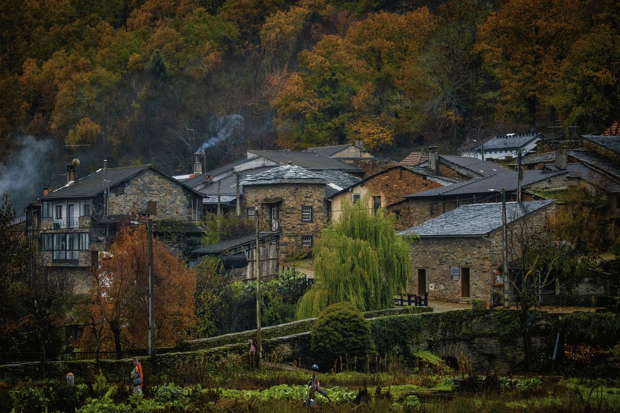
Rabanales is known in the Aliste region for preserving a historic center with abundant examples of traditional stone architecture, a hallmark of western Zamora. This architecture is characterized by its robustness, its integration with the landscape, and the use of local materials. The traditional houses and buildings are constructed primarily with local stone, especially granite, which provides solidity and a distinctive rustic aesthetic.
2
0
The La Ribera Stream Bridge in Fonfría is a picturesque spot perfect for hiking and nature lovers. It's a stone bridge that allows you to cross the La Ribera Stream. The area offers several scenic trails to enjoy the nature and scenery.
5
0
The Molino de los Carbajos is an old mill located in the Aliste region, near Fonfría, in the province of Zamora. This mill is a popular point of interest for hiking and nature lovers. It is located on a marked trail that runs from Brandilanes to Castro, following the white and yellow signs. The Molino de los Carbajos is perfect for a short excursion and to enjoy the natural beauty of Aliste.
5
0
The Molino de los Tejeros is located on the hiking route that goes from Castro de Alcañices to Brandilanes, in the Aliste region, Zamora. This route, known as the Rivera de los Molinos, is famous for its natural beauty and its ethnological heritage, since along the route you can see several old water mills.
8
0

Moveros is one of those towns that have been on the border since time immemorial in this area where pottery has been one of the key points in the municipality.
0
0
Small town located at the foot of Campo de Aliste which is located at the foot of Peña Antona. Beautiful views of the town from the mountains in the area.
0
0

Manzanal de Arriba is a beautiful town of houses and traditional slate streets that has all the ideal tourist services for a stop along the way.
0
0
Codesal is a small hamlet in the heart of the Sierra de la Culebra. On the outskirts is the old cemetery. In this cemetery, an imposing oak tree survives generations of inhabitants, surely one hundred years old, which has become an emblem of the town.
1
0
Frequently Asked Questions
How many no-traffic touring cycling routes are available in this guide for Riofrío De Aliste?
This guide features 5 curated no-traffic touring cycling routes around Riofrío De Aliste. These routes offer a range of distances and difficulties, allowing you to explore the region's natural beauty and charming villages away from vehicular traffic.
What is the best time of year to go touring cycling in Riofrío De Aliste?
The region offers pleasant cycling conditions for much of the year. Spring and autumn are ideal, with milder temperatures and lush landscapes. Summer can be warm, but early mornings or late afternoons are still enjoyable. The Sierra de la Culebra's diverse forests and waterways provide scenic beauty across seasons.
Are there any family-friendly no-traffic cycling routes?
While the routes in this guide are generally moderate to difficult, focusing on longer distances and elevation, the region does offer potential for family-friendly cycling on quieter paths. For a moderate option, consider the Mahide – Gallegos del Campo loop from San Vicente de la Cabeza, which covers 44.6 km with a manageable 313 meters of elevation gain. Always check the route details for specific terrain and difficulty to ensure it suits your family's abilities.
What kind of terrain can I expect on these no-traffic touring cycling routes?
The routes in Riofrío De Aliste traverse diverse terrain, reflecting the undulating mountains and valleys of the Sierra de la Culebra. You can expect a mix of well-paved surfaces and some unpaved or gravel segments, especially as you pass through extensive forests of pine, oak, and chestnut trees. The region's relief is generally soft and rounded, but routes often include significant elevation changes, such as the 1159 meters of ascent on the Molino de los Carbajos – Molinos de los Tejeros loop from Rabanales.
Are there any circular no-traffic cycling routes available?
Yes, all the no-traffic touring cycling routes featured in this guide are circular. This allows for convenient starting and ending points, often from charming villages. Examples include the Villardeciervos Village loop from Villardeciervos and the Codesal – Manzanal de Arriba loop from Cional.
What natural features or landmarks can I see along the routes?
The routes offer access to the rich natural beauty of the Sierra de la Culebra. You'll encounter lush forests, numerous rivers and streams like the Aliste River, and potentially spot wildlife. Notable landmarks and natural features in the vicinity include the Fidionda Spring, known for its sulfur waters, and the Aliste River in Vegalatrave. You might also pass through charming villages like Manzanal de Arriba.
Is Riofrío De Aliste a good place for wildlife observation while cycling?
Absolutely. Riofrío De Aliste is part of the Sierra de la Culebra, which is renowned as one of Spain's best locations for wildlife sighting. While cycling, especially on quieter routes, you have a chance to observe deer, roe deer, and wild boars. The region is also home to a significant wolf population, though sightings are rare.
Where can I park my car when starting a no-traffic touring cycling route?
Many of the routes start from villages, which typically offer parking facilities. For example, routes like the Villardeciervos Village loop from Villardeciervos begin directly from the village, where you can usually find suitable parking. It's advisable to check specific village amenities before your trip.
Are there any cafes or places to stop for refreshments along these routes?
The routes often pass through or near charming villages such as Villardeciervos, Mahide, or Rabanales. These villages typically have local cafes, bars, or small shops where you can stop for refreshments and experience the local culture. Planning your stops around these villages is recommended, especially for longer routes.
What cultural or historical sites can be explored near the cycling routes?
Beyond the natural beauty, the area offers several cultural and historical points of interest. You can visit the ancient Castro de Valdemera, an ancient walled complex with panoramic views. The village of Rabanales is known for its traditional Aliste stone architecture, and old mills can be found along the Río Frío, adding an ethnographic touch to your journey.
What is the difficulty level of the no-traffic touring cycling routes in this guide?
The routes in this guide range from moderate to difficult. There is one moderate route, the Mahide – Gallegos del Campo loop from San Vicente de la Cabeza, which is 44.6 km long with 313 meters of elevation. The remaining four routes are classified as difficult, featuring longer distances and more significant elevation gains, such as the 77.1 km Molino de los Carbajos – Molinos de los Tejeros loop from Rabanales with over 1100 meters of ascent.
Most popular attractions around Riofrío De Aliste

Get inspired with the komoot mobile app


Explore more
Browse the best Cycling routes in other regions.
