The best hikes from bus stations around Thornhill
4.6
(20720)
130,805
hikers
11
hikes
Bus station hiking trails around Thornhill offer access to a diverse landscape, characterized by river valleys, rolling hills, and open moorland. The region provides a mix of terrain, from gentle riverside paths to more elevated routes offering expansive views. Thornhill's geographical setting allows for varied outdoor experiences, with trails often starting near public transport hubs.
Best bus station hiking trails around Thornhill
- The most popular bus station hiking route is River Derwent Stepping Stones – The Plough, Hathersage loop from…
Last updated: November 1, 2026
4.0
(2)
18
hikers
8.35km
02:31
260m
260m
Moderate hike. Good fitness required. Easily walkable paths.
17
hikers
8.55km
02:20
130m
130m
Moderate hike. Good fitness required. Easily walkable paths.

17
hikers
4.40km
01:10
50m
50m
Easy hike. Easily walkable paths.
4.5
(2)
7
hikers
Easy hike. Easily walkable paths.
5.0
(4)
7
hikers
Easy hike. Easily walkable paths.
Get access to more routes and recommendations from other explorers.
Already have an account?
Our route recommendations are based on thousands of hikes, rides, and runs completed by other people on komoot.
Start today with a free account
Your next adventure awaits.
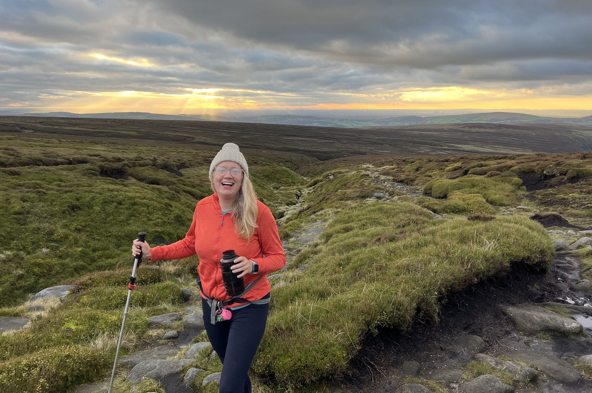
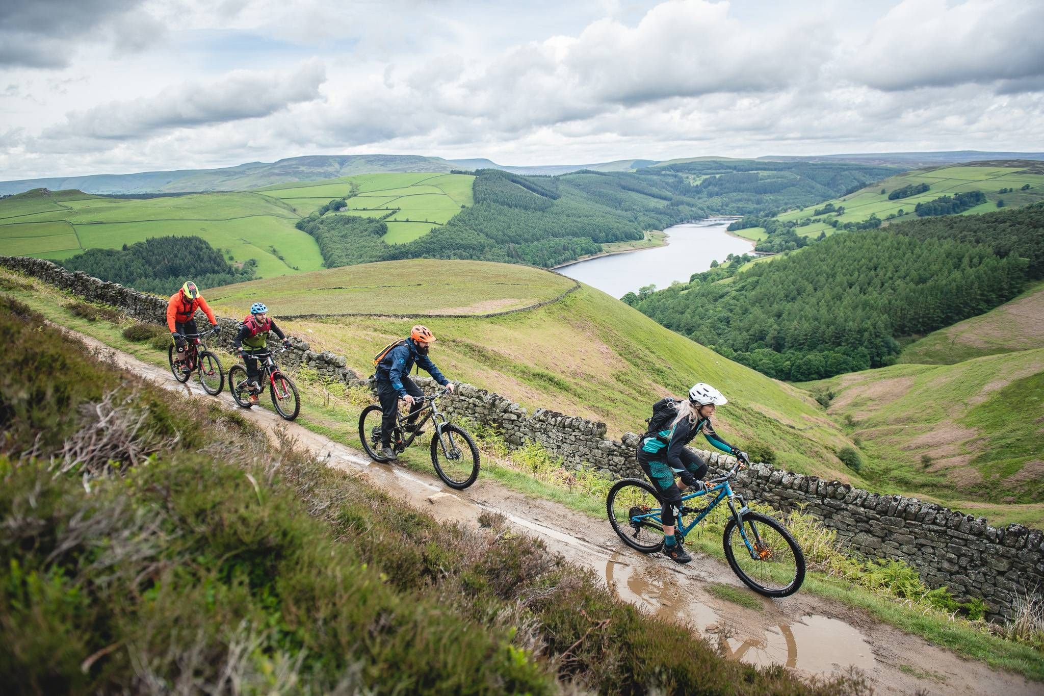


Tips from the Community

Although challenging, totally doable on a bike with some decent gear ratio.
0
0

Nice little spot to stop. Stone circle was actually covered in sheep wool when I visited which lets the mind run wild given the name
0
0

Win Hill to the left with Bamford Edge to the right. Just a glimpse of Ladybower between the two. Taking a few pics gives the heart time to recover from the climb
0
0

Heads-up! The climb that follows, through Offerton, is quite the ramp. Featuring an an elevation gain of about 88 metres, on a gradient that approaches 16% in places.
1
0


The Domesday Book records that Hope had a church although the present parish church, the Church of St Peter, dates from the 14th and 15th centuries with modifications to the chancel dating from 1882. The church has two ancient crosses in its grounds. The shaft of a sandstone cross dating from the Anglo-Saxon period stands seven feet high and is carved on all faces. The cross may well have originated in the church grounds and a possible base now supports a sundial, but from the English Civil War until 1858 it was hidden in the village school. The stump of the Eccles Cross, originally near Eccles House, south of Hope, is also in the graveyard.
0
0

Quieter than neighbouring Castleton, Hope is nonetheless a great base for runs in the Peak District. Nestled in the Hope Valley, the village provides easy access to The Great Ridge and longer runs to Kinder Scout, Win Hill and the famous gritstone edges. There are several cafes and pubs for the post-run refuel.
0
0
Frequently Asked Questions
How many bus-accessible hiking trails are available around Thornhill?
There are 13 hiking trails around Thornhill that are easily accessible from bus stations. These routes offer a convenient way to explore the diverse landscapes of the region without needing a car.
Are there easy hiking trails accessible by bus in Thornhill?
Yes, there are 8 easy hiking trails accessible by bus around Thornhill. These routes are generally shorter and have less elevation gain, making them suitable for a relaxed outing. An example is The Wild Kettle Café loop from Brough and Shatton, which is an easy 4.4 km hike.
What kind of terrain can I expect on bus-accessible hikes around Thornhill?
The terrain around Thornhill varies depending on the specific location. In areas like Thornhill, British Columbia, you might find forested landscapes with steep slopes. Other regions, such as Thornhill Nature Preserve in Indiana, offer diverse habitats including forests, meadows, and wetlands. Many trails, like those in Thornhill, Kentucky, feature paved paths, river views, and architectural bridges. Expect a mix of well-maintained paths, forest trails, and potentially some moderate ascents.
Are there circular hiking routes starting from bus stations in Thornhill?
Yes, many of the bus-accessible routes around Thornhill are designed as circular walks, allowing you to start and end your hike at the same point, often conveniently near a bus stop. For instance, the River Derwent Stepping Stones – The Plough, Hathersage loop from Brough and Shatton is a popular circular option.
What natural features or landmarks can I see on bus-accessible hikes near Thornhill?
The Thornhill area offers a variety of natural features and landmarks. You can explore mountain passes like Hollins Cross and Winnats Pass. There are also impressive peaks such as Mam Tor and Lose Hill Summit, offering stunning views. Some trails might lead you along rivers or through diverse forest and wetland habitats, depending on the specific Thornhill location.
Are the bus-accessible trails around Thornhill suitable for families?
Many of the bus-accessible trails around Thornhill are suitable for families, especially the 8 easy routes available. These often feature well-maintained paths and manageable distances. For example, the The Wild Kettle Café – Bridleway to Shatton Lane loop from Brough and Shatton is an easy 5.5 km route that families can enjoy.
Can I bring my dog on these bus-accessible hikes?
Generally, many outdoor trails in the Thornhill region are dog-friendly, provided dogs are kept under control, often on a leash, and owners clean up after them. It's always best to check specific trail regulations or local signage, especially in nature preserves or protected areas, to ensure dogs are permitted.
Are there any scenic viewpoints along these trails?
Yes, several trails offer scenic viewpoints. For instance, the View of Hope Valley – Hope Pinfold loop from Brough and Shatton provides excellent vistas. You can also find notable viewpoints like Mam Nick Climb from Barber Booth and Lose Hill Summit, which are accessible via various routes.
What is the best time of year to hike these bus-accessible trails?
The best time to hike around Thornhill largely depends on the specific region and your preferences. Spring and autumn generally offer pleasant temperatures and beautiful scenery, with vibrant foliage or blooming wildflowers. Summer is also popular, though some areas might be warmer. Winter hiking is possible in some locations, but requires appropriate gear and awareness of conditions, especially in areas with higher elevations or potential for snow.
Are there cafes or pubs near the bus stations or trailheads for refreshments?
Yes, some bus-accessible routes are designed to pass by or start near places offering refreshments. For example, The Wild Kettle Café loop from Brough and Shatton explicitly mentions a café, providing a convenient stop for hikers. In many towns and villages, you'll find local cafes or pubs within walking distance of bus stops.
What do other hikers enjoy the most about hiking in Thornhill?
The komoot community highly rates the hiking experiences around Thornhill, with an average score of 4.6 stars. Hikers often praise the accessibility of trails from public transport, the diverse natural beauty, and the variety of routes catering to different fitness levels. The scenic viewpoints and the opportunity to explore charming local areas are frequently highlighted.
Can you recommend a moderate bus-accessible hike with good views?
For a moderate bus-accessible hike with good views, consider the Wolf's Pit – Abney Moor loop from Brough and Shatton. This 8.4 km route features a moderate elevation gain and offers expansive views of the surrounding landscape, including Abney Moor.
Most popular routes around Thornhill
Most popular attractions around Thornhill

Get inspired with the komoot mobile app


Explore more
Browse the best Hikes in other regions.
