The best hikes from bus stations around Salisbury
4.5
(789)
7,795
hikers
86
hikes
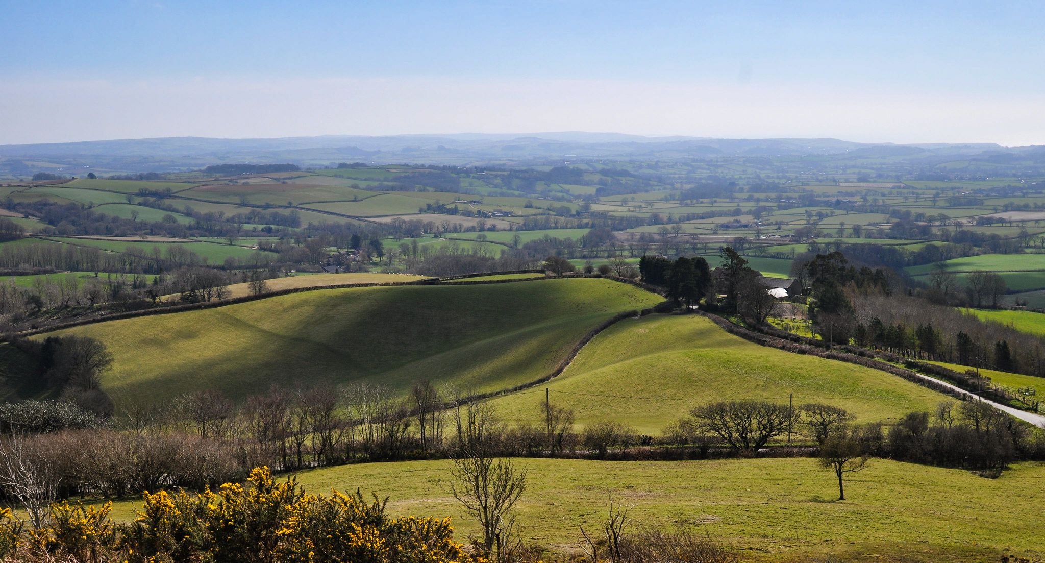
Bus station hiking trails around Salisbury traverse a landscape characterized by rolling terrain, ancient earthworks, and chalk downlands. The region features expansive chalk plateaus like Salisbury Plain, alongside serene river valleys formed by the Avon, Nadder, and Bourne rivers. Hikers can explore historical sites such as Old Sarum and the wider Stonehenge World Heritage Site, which are integrated into the natural environment.
Best bus station hiking trails around Salisbury
- The most popular bus station hiking route is Salisbury Cathedral –…
Last updated: October 18, 2026
4.3
(8)
28
hikers
10.8km
02:47
60m
60m
Moderate hike. Good fitness required. Easily walkable paths.
5.0
(3)
50
hikers
9.27km
02:27
80m
80m
Moderate hike. Good fitness required. Easily walkable paths.

5.0
(3)
77
hikers
4.95km
01:20
60m
60m
Easy hike. Easily walkable paths.
4.1
(7)
38
hikers
4.67km
01:11
10m
10m
Easy hike. Easily walkable paths.
4.8
(6)
27
hikers
Easy hike. Easily walkable paths.
Get access to more routes and recommendations from other explorers.
Already have an account?
Our route recommendations are based on thousands of hikes, rides, and runs completed by other people on komoot.
Start today with a free account
Your next adventure awaits.


Other adventures around Salisbury


Tips from the Community

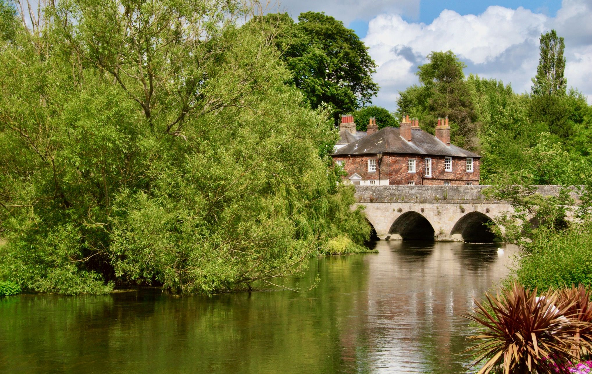
Der River Avon, oft auch als Salisbury Avon oder Hampshire Avon bezeichnet
4
0
Surrounded by beautiful half-timbered houses
3
0
impressive Tudor facade
4
0
A beautiful bell tower, right next to the bridge over the river
4
0
The river is around 96 kilometers long
3
0
historic restaurant and pub in the city, offering game dishes
3
0
St. Thomas Church. the parish church in the center of Salisbury
3
0
Frequently Asked Questions
How many hiking trails are accessible from bus stations around Salisbury?
There are over 90 hiking trails around Salisbury that are easily accessible from bus stations. This guide features a wide variety of routes, with 50 considered easy, 39 moderate, and a few more challenging options.
Are there many circular routes available from Salisbury's bus stations?
Yes, many of the routes accessible from Salisbury's bus stations are circular, allowing you to start and end your hike conveniently at the same point. For example, the Salisbury Cathedral – Salisbury Market Square loop from Old Sarum offers a pleasant circular walk.
What kind of landscapes can I expect on bus station hikes near Salisbury?
Hikes near Salisbury offer a diverse range of landscapes. You can explore the expansive chalk plains of the Salisbury Plain, serene river valleys along the Avon, Nadder, and Bourne rivers, and ancient woodlands. Many routes also pass by historical sites and offer views of rolling terrain.
Are there any family-friendly hiking trails accessible by bus around Salisbury?
Absolutely! Many of the 50 easy routes are suitable for families. The Salisbury Cathedral – River Avon in Salisbury loop from Salisbury is a shorter, easy option that offers scenic views within the city's reach, perfect for a family outing.
Can I bring my dog on these bus station hiking trails?
Most public footpaths and trails around Salisbury are dog-friendly, provided dogs are kept under control, especially near livestock. Always check local signage for specific restrictions, particularly in nature reserves or protected areas. The Salisbury Town Path, for instance, is a popular choice for dog walkers.
What historical sites or viewpoints can I see on these hikes?
Salisbury's bus station hikes often lead to fascinating historical sites and offer stunning viewpoints. You can explore the ancient earthworks of Old Sarum Ruins, or catch glimpses of the iconic Salisbury Cathedral. Some routes also provide views of the wider Stonehenge Landscape, including sites like Woodhenge.
Are there any easy routes for beginners starting from a bus station?
Yes, there are plenty of easy routes perfect for beginners. The guide features 50 easy trails. A great starting point is the Old Sarum Ancient Settlement – Old Sarum loop from Old Sarum, which is relatively short and offers gentle terrain.
What do other hikers say about the trails around Salisbury?
The hiking trails around Salisbury are highly rated by the komoot community, with an average score of 4.5 out of 5 stars from over 600 ratings. Reviewers often praise the accessibility, the blend of historical interest with natural beauty, and the well-maintained paths.
Are there opportunities for wildlife spotting on these bus-accessible trails?
Yes, the diverse landscapes around Salisbury provide excellent opportunities for wildlife spotting. Along the river valleys, you might see various bird species, and areas like Langford Lakes Nature Reserve are known for wetland birds and even otters. The ancient woodlands and chalk downlands also support a variety of local fauna.
Can I find cafes or pubs near the bus station hiking routes?
Many routes, especially those closer to Salisbury city centre or passing through villages, will have cafes or pubs nearby. The River Avon Path – Queen Elizabeth Gardens loop from Salisbury, for example, keeps you close to amenities in Salisbury itself, and the Salisbury Town Path ends near The Old Mill at Harnham, which has facilities.
What is the best time of year to go hiking from Salisbury bus stations?
Salisbury offers enjoyable hiking year-round. Spring brings wildflowers to the chalk downlands and bluebells to Grovely Woods. Summer is ideal for longer walks, while autumn showcases beautiful foliage. Even in winter, the paths along the river valleys and through ancient earthworks offer crisp, scenic walks, provided you dress appropriately for the weather.
Most popular routes around Salisbury
Most popular attractions around Salisbury

Get inspired with the komoot mobile app


Explore more
Browse the best Hikes in other regions.