The best hikes from bus stations around Sway
4.6
(4366)
27,747
hikers
215
hikes
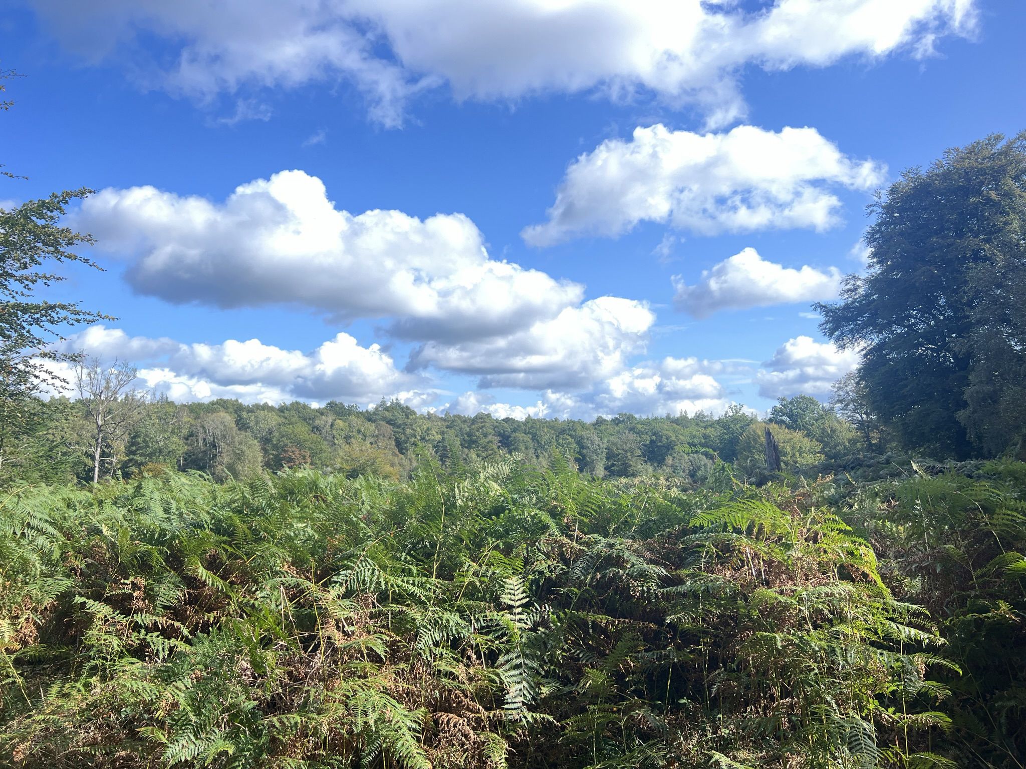
Hiking around Sway offers access to the diverse landscapes of the New Forest National Park. The region is characterized by ancient woodlands, expansive open heathlands, and picturesque river valleys, providing varied terrain for exploration. Disused railway lines have been repurposed into walking paths, offering relatively flat routes. Features like Set Thorns Inclosure provide dense forest experiences.
Best bus station hiking trails around Sway
- The most popular bus station hiking route is Hiking loop from Sway, a 3.2 miles (5.2…
Last updated: October 4, 2026
8
hikers
5.28km
01:24
50m
50m
Easy hike. Great for any fitness level. Easily-accessible paths. Suitable for all skill levels.
5.0
(1)
6
hikers
8.37km
02:13
80m
90m
Moderate hike. Good fitness required. Easily-accessible paths. Suitable for all skill levels.

3
hikers
6.46km
01:40
30m
30m
Easy hike. Great for any fitness level. Easily-accessible paths. Suitable for all skill levels.
3
hikers
7.43km
01:57
60m
60m
Easy hike. Great for any fitness level. Easily-accessible paths. Suitable for all skill levels.
Get access to more routes and recommendations from other explorers.
Already have an account?
Our route recommendations are based on thousands of hikes, rides, and runs completed by other people on komoot.
Other adventures around Sway

Tips from the Community

The Phantom of Hincheslea The smugglers actively nurtured these terrifying rumors. They draped wet horse blankets over bent boughs to mimic looming monsters, tied iron chains to wild ponies to rattle through the dark, and spread whispers of the "Hincheslea Phantom"—a vengeful ghost said to drag intruders into bottomless quagmires. For those brave enough to ignore the ghost stories, the woods held physical dangers: False Paths: Smugglers laid decoy tracks leading directly into treacherous, knee-deep peat bogs. Tripwires: Hidden cords tied to low branches snapped heavy wooden clappers together, mimicking the crack of a pistol shot to panic unwanted visitors. Pits & Snags: Covered pits lined with sharp gorse bushes awaited anyone wandering off the main trails. Between the ghastly noises, the mysterious flickering lights, and the constant threat of a sudden trap, local villagers and cautious rangers gave Hincheslea Woods a wide berth. By the time the sun rose over the forest, the lanterns were extinguished, the traps were disarmed, and the smugglers had melted away into the mist—leaving behind only whispers of ghosts.
0
0
In the early 1800s, when the moon dipped low over the New Forest, Hincheslea Woods belonged to the Free Traders. Beneath the dense, tangled canopy, smugglers transformed the ancient woodland into a fortress of shadows to stash their illegal casks of French brandy, tea, and fine silk. Signals in the Canopy The smugglers built an ingenious network of light to keep the King’s Officers at bay. High in the ancient oaks, "lookout boys" were stationed with darkened lanterns. A single, steady amber glow meant the tracks were clear to Whitefield Moor. A quick double-flash signaled that rangers were approaching on horseback. A steady red lantern meant vanish into the bogs. To an outsider, these fleeting lights flickered through the branches like eerie, floating orbs, giving rise to rumors that Hincheslea was hopelessly haunted.
0
0

Super cafe cafe, lovely service with an amazing breakfast. Check out our Bike'n'Brunch bike hire experience which includes a VIP table with full English and bottomless hot drinks at this deli: jaunt-ebikes.co.uk
0
0


Lovely walk but would advise to wear wellies if walking this in the winter months. One very large boggy bit after Rosie Lea, before Roydon Woods.
0
0

Great route in the summer be careful of floods in the winter
0
0
Lovely area to run be careful if we’ve had heavy rain ☔️
0
0
Frequently Asked Questions
How many bus station hiking trails are available around Sway?
There are over 200 hiking trails accessible from bus stations around Sway, offering a wide variety of options for all skill levels. This includes 121 easy routes, 84 moderate routes, and 5 more challenging trails.
Are there easy hiking routes accessible from Sway bus stations?
Yes, Sway offers many easy hiking routes perfect for a relaxed outing. An excellent example is the Hiking loop from Sway, which is just over 5 km long with minimal elevation gain. Another accessible option is the Hinchelsea Bog Crossing – Flat Road Out of Sway loop from Sway, offering a gentle 7.4 km path.
What kind of terrain can I expect on bus station hikes near Sway?
The terrain around Sway is diverse, characteristic of the New Forest National Park. You can expect a mix of ancient woodlands with oak and beech trees, expansive open heathlands, and picturesque river valleys. Some routes also follow repurposed disused railway lines, offering relatively flat and easy walking surfaces.
Are there circular hiking routes starting from Sway bus stations?
Absolutely. Many routes in the area are circular, allowing you to start and end your hike conveniently at a bus station. Popular circular options include the Hiking loop from Sway and the Hinchelsea Bog Crossing – Forest Trail at Sway loop from Sway, which takes you through delightful woodland.
Can I bring my dog on the bus station hiking trails near Sway?
Yes, the New Forest is generally very dog-friendly. Many trails, especially those along disused railway lines and through the open heathlands, are popular with dog walkers. Please ensure your dog is kept under control, especially around livestock (ponies, cattle) that roam freely in the New Forest, and follow any local signage regarding leads.
What natural features or landmarks can I see on bus station hikes near Sway?
Hikes from Sway bus stations offer access to a variety of natural beauty. You can explore the delightful Castleman's Corkscrew Trailway, discover serene spots like Whitten Pond, or visit the tranquil Hatchet Pond. The area is rich with ancient woodlands, open heath, and the gentle flow of the Avon Water.
Are the bus station hiking trails around Sway suitable for families?
Many of the trails around Sway are very suitable for families, particularly the 121 easy routes available. The disused railway lines offer flat, accessible paths. For additional family fun, the wider New Forest area has attractions like Longdown Activity Farm, which can be combined with a shorter walk.
What is the best time of year to hike from Sway bus stations?
Sway offers enjoyable hiking year-round. Spring brings wildflowers and new growth, while summer provides long daylight hours for extended walks. Autumn transforms the woodlands with vibrant colours, and winter offers crisp, quiet walks, especially through the ancient forests. Always check local weather forecasts before heading out.
Are there pubs or cafes along the bus station hiking routes in Sway?
Sway village itself has local pubs and cafes where you can refresh before or after your hike. While not directly on every trail, many routes start and end conveniently in the village, making it easy to grab a drink or a meal. Consider planning your route to pass through the village for a break.
What do other hikers enjoy the most about hiking in Sway?
The area is highly rated by the komoot community, with an average score of 4.5 stars. Reviewers often praise the peaceful atmosphere of the New Forest, the variety of landscapes from open heathland to ancient woodlands, and the well-maintained paths that make for enjoyable walks directly accessible from public transport.
Are there any historical points of interest along the bus station trails?
Yes, the area has historical intrigue. Parts of the New Forest feature old disused railway lines, such as the Castleman’s Corkscrew Railway Path, which have been repurposed into walking paths. There's also mention of an old "Smugglers' Route" along Adams Lane, adding a historical dimension to your exploration.
Most popular routes around Sway
Most popular attractions around Sway

Get inspired with the komoot mobile app


Explore more
Browse the best Hikes in other regions.
