The best road cycling routes around Marchtrenk
4.5
(73)
1,897
riders
82
rides
Road cycling routes around Marchtrenk are primarily situated within the Traun River valley, characterized by flat to gently rolling terrain. The landscape features agricultural plains, riverside paths, and occasional small woodlands. Elevation changes are generally modest, with most routes involving cumulative ascents under 200 meters, making the area suitable for various fitness levels.
Best road cycling routes around Marchtrenk
- The most popular road cycling route is Water Fountain and Rest Area – Bridge Over the Traun River loop from Marchtrenk…
Last updated: November 3, 2026
4.4
(29)
513
riders
Moderate road ride. Some segments of this route may be unpaved and difficult to ride.
3.7
(15)
286
riders
57.9km
02:23
130m
130m
Moderate road ride. Good fitness required. Some segments of this route may be unpaved and difficult to ride.

183
riders
51.4km
02:10
210m
210m
Moderate road ride. Good fitness required. Some segments of this route may be unpaved and difficult to ride.
24
riders
54.6km
02:33
350m
350m
Moderate road ride. Good fitness required. Mostly well-paved surfaces and easy to ride.
5.0
(2)
23
riders
72.3km
03:06
450m
450m
Moderate road ride. Good fitness required. Mostly well-paved surfaces and easy to ride.
Get access to more routes and recommendations from other explorers.
Already have an account?
Our route recommendations are based on thousands of hikes, rides, and runs completed by other people on komoot.
Start today with a free account
Your next adventure awaits.
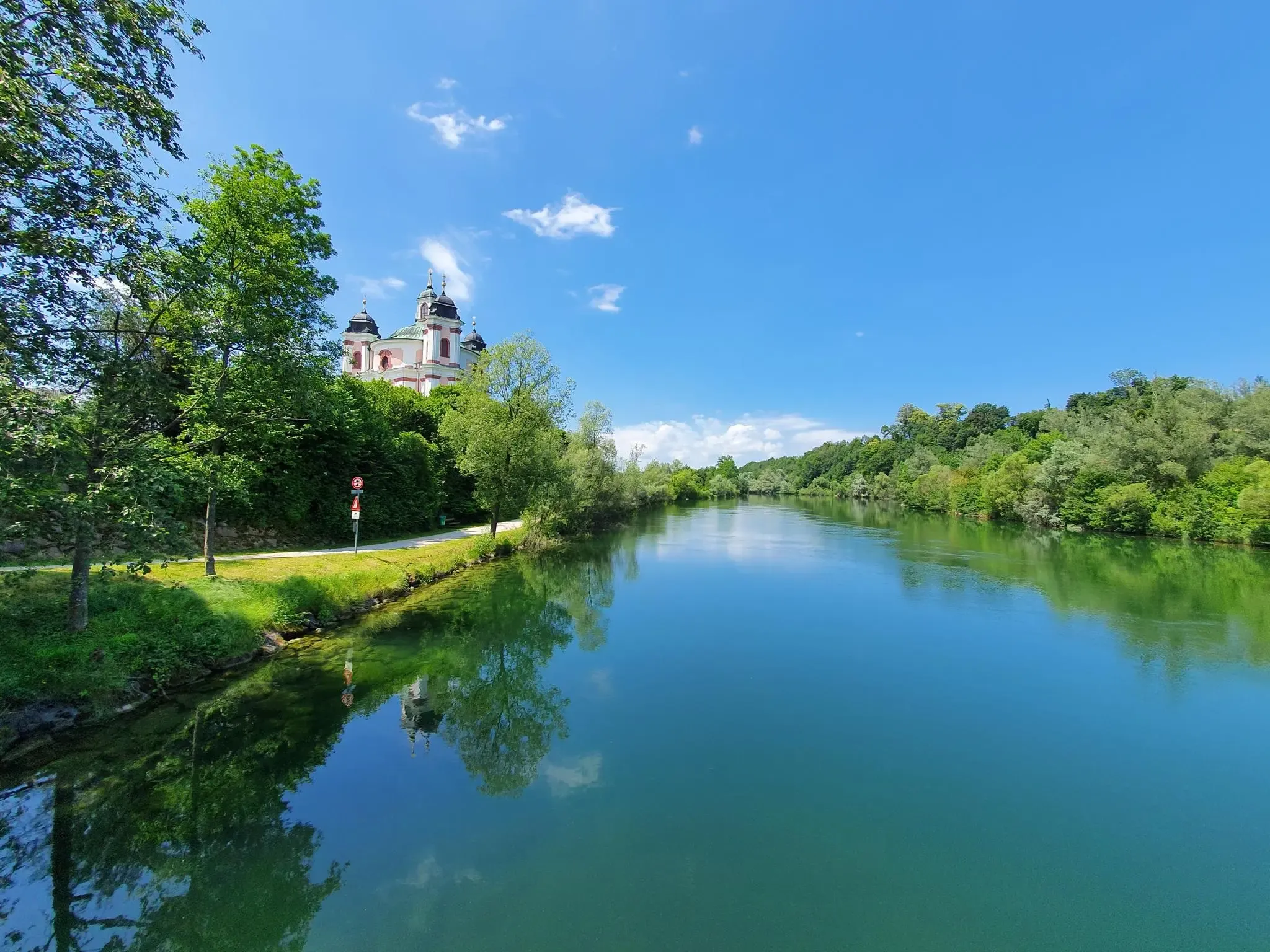
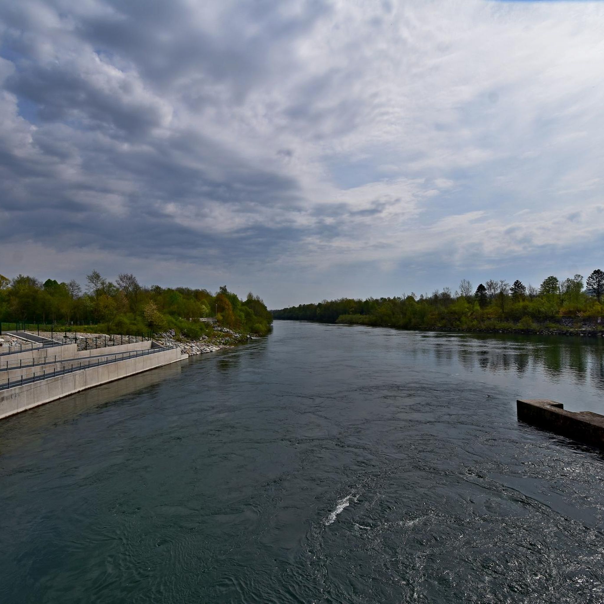
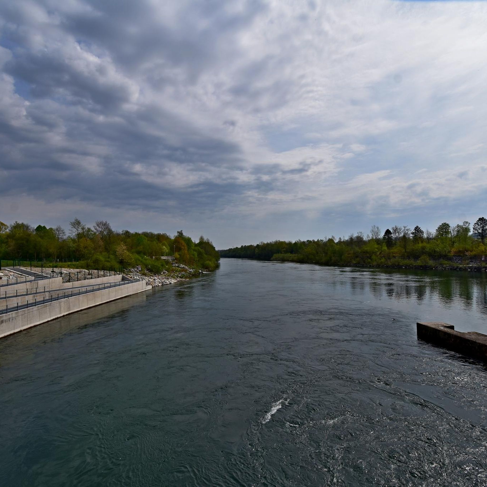
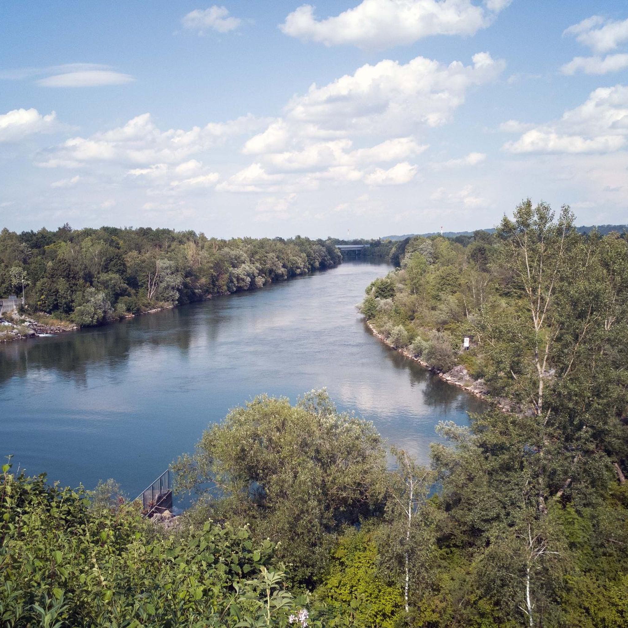

Other adventures around Marchtrenk

Tips from the Community

Austria's highest fish ladder is currently being built in Traun-Pucking.
0
1

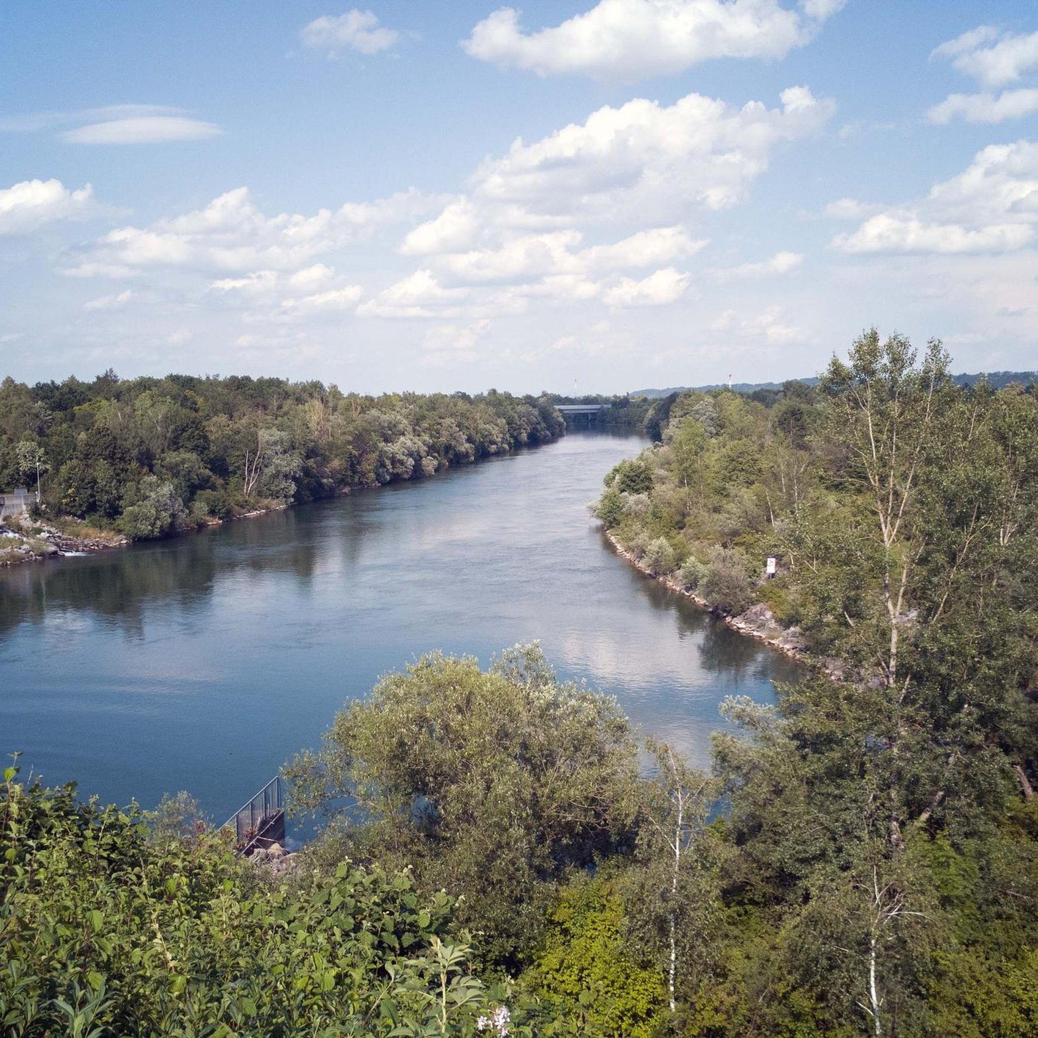
Here you can see how the Traun connects to the Danube.
1
0

Even if it rains you can discover something beautiful “Rainbow x2 :)
0
0

The Traun River is invisible for miles around. Here, you can climb a staircase along the dam to catch a glimpse.
2
1


Great bike path and suitable for everyone
3
1

Beautiful cycle path along the Danube, just before the Traun estuary.
3
0

The food at Gasthof Mayr was great.
3
1
Frequently Asked Questions
How many road cycling routes are available around Marchtrenk?
Marchtrenk offers a wide selection of road cycling routes, with over 90 options available for exploration. These routes cater to various skill levels, from easy to difficult.
What kind of terrain can I expect on road cycling routes in Marchtrenk?
The road cycling routes around Marchtrenk are primarily located within the Traun River valley. You'll find mostly flat to gently rolling terrain, characterized by agricultural plains, pleasant riverside paths, and occasional small woodlands. Elevation changes are generally modest, making the area accessible for many fitness levels.
Are there easy road cycling routes suitable for beginners in Marchtrenk?
Yes, Marchtrenk has several easy road cycling routes perfect for beginners or those seeking a relaxed ride. One such route is the Oedter Lake – Kranholzstraße loop from Marchtrenk, which covers about 28.7 miles (46.3 km) with minimal elevation gain.
Can I find challenging road cycling routes in the Marchtrenk area?
For experienced road cyclists looking for a challenge, Marchtrenk offers more difficult routes. An example is the Kremsmünster Abbey – Sandner Linde loop from Marchtrenk, a substantial 68.8 miles (110.7 km) ride with significant elevation changes, providing a demanding experience.
Are there any long-distance road cycling options near Marchtrenk?
Absolutely. For those who enjoy longer rides, routes like the Kremsmünster Abbey – Sandner Linde loop from Marchtrenk extend for nearly 69 miles (111 km), offering a full day's adventure through the region.
What natural attractions can I see along the road cycling routes in Marchtrenk?
Many routes in Marchtrenk offer glimpses of natural beauty. You might pass by the serene Oedter Lake or the picturesque Rutzinger Lake. The area is also home to the Traun Waterfall and the unique Steinernes Bründl Spring, which are worth exploring.
Are there any historical landmarks or points of interest accessible by road bike in Marchtrenk?
Yes, some routes incorporate historical elements. For instance, the Traunweg – Traun Castle loop from Marchtrenk leads through river valleys and past historical points of interest, including the vicinity of Traun Castle, offering a blend of nature and history.
What do other road cyclists think about the routes in Marchtrenk?
The road cycling routes in Marchtrenk are highly regarded by the komoot community, boasting an average rating of 4.6 stars from over 50 reviews. Cyclists often praise the varied terrain, from riverside paths to open fields, and the well-maintained network of trails.
Are there circular road cycling routes available from Marchtrenk?
Yes, many of the road cycling routes around Marchtrenk are designed as loops, allowing you to start and finish in the same location. Examples include the popular Water Fountain and Rest Area – Bridge Over the Traun River loop from Marchtrenk and the Stargate Kappern – Water Fountain and Rest Area loop from Marchtrenk.
What is the best time of year for road cycling in Marchtrenk?
While specific data isn't available, the flat to gently rolling terrain of Marchtrenk makes it enjoyable for road cycling during most of the year. Spring and autumn generally offer pleasant temperatures and beautiful scenery, while summer provides longer daylight hours. Winter cycling might be possible, but conditions would depend on snow and ice.
How long do road cycling routes in Marchtrenk typically take to complete?
The duration of road cycling routes in Marchtrenk varies significantly depending on the distance and your pace. Shorter, easy routes might take around 1.5 to 2 hours, while longer, more challenging rides, such as the Kremsmünster Abbey – Sandner Linde loop, can take upwards of 5 hours.
Most popular routes around Marchtrenk
Most popular attractions around Marchtrenk

Get inspired with the komoot mobile app


Explore more
Browse the best Road cycling routes in other regions.
