The best hikes from bus stations around Shalford
4.6
(2854)
18,872
hikers
23
hikes
Bus station hiking trails around Shalford offer access to the varied landscapes of the Surrey Hills Area of Outstanding Natural Beauty. The region features extensive forests, open meadows, and gentle hills, alongside tranquil riverside paths along the River Wey and River Tillingbourne. Hikers can explore historic water meadows, Broadwater Lake, and modest climbs up hills like St Martha's Hill, which provide panoramic views. Ancient woodlands contribute to the area's diverse natural features.
Best bus station hiking trails around Shalford
- The most popular bus station hiking route is Shalford Three Peaks — Surrey Hills, an 8.3 miles (13.4 km) trail that takes 3 hours 43 minutes to complete. This moderate route traverses varied terrain across the Surrey Hills.
- Another top favourite among local hikers is Farncombe Boat House – Godalming Historic Town Centre loop from Shalford, a moderate 6.9 miles (11.0 km) path. This trail follows riverside paths and passes through historic town centres.
- Local hikers also love the St Martha's Hill WWII Pillbox – St Martha's Church loop from St. Martha, a 3.0 miles (4.9 km) trail leading through St Martha's Hill and past its historic church, often completed in about 1 hour 24 minutes.
- Hiking around Shalford is defined by riverside paths, ancient woodlands, and gentle hills offering panoramic views. The network of trails provides options for various ability levels, from easy strolls to more challenging treks.
- The routes in Shalford are highly rated by the komoot community with an average score of 4.6 stars from over 2,400 reviews. More than 17,000 hikers have used komoot to explore Shalford's varied terrain.
Last updated: October 31, 2026
4.7
(75)
331
hikers
13.4km
03:43
240m
240m
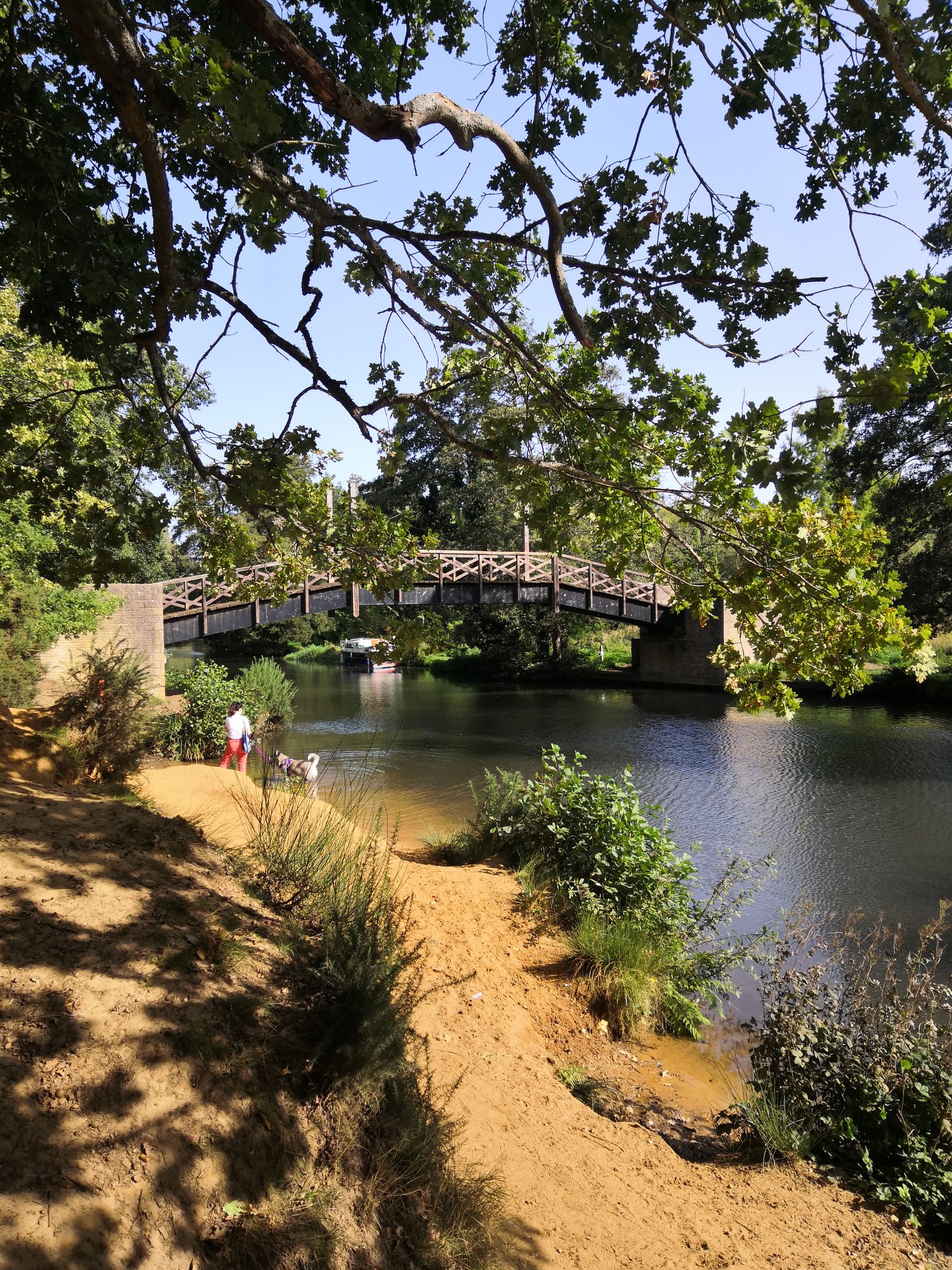
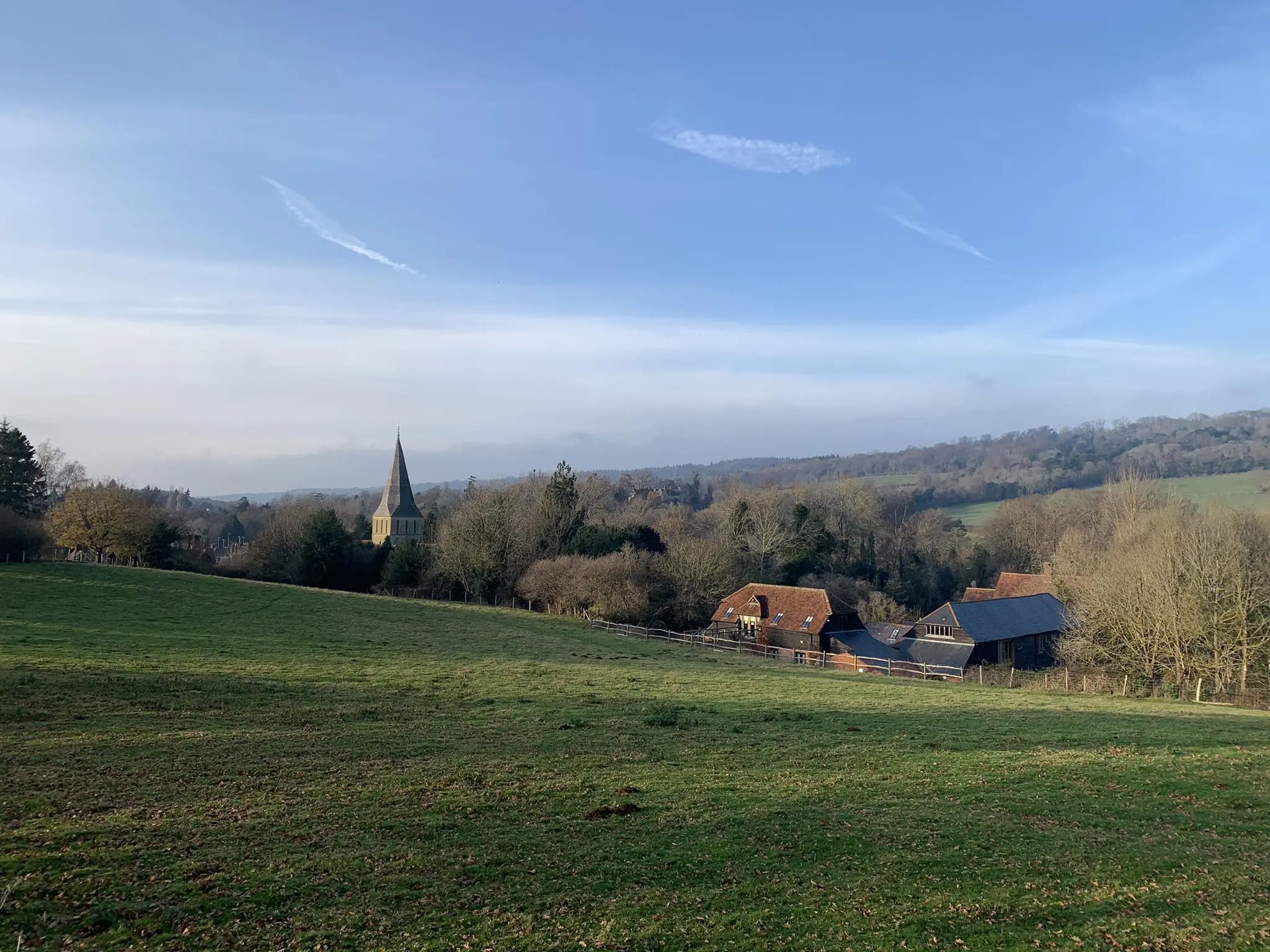
Embark on the Shalford Three Peaks — Surrey Hills trail, a moderate hike covering 8.3 miles (13.4 km) with 792 feet (241 metres) of elevation gain, typically taking around 3 hours and 43 minutes. You will experience a diverse landscape of woodlands, open fields, and rolling hills. Enjoy peaceful riverside paths along the River Wey and panoramic vistas of the Surrey Hills from St Martha's Hill, where the historic St Martha's Church stands. In spring, Chantry Wood is particularly beautiful with its carpet of bluebells.
Starting from the charming village of Shalford, this route is easily accessible by public transport via Shalford train station. The village offers cafes and pubs for refreshments, with additional stops like The Plucky Pheasant Café along the way. Be prepared for varied path surfaces, including natural, unpaved, and gravel sections. It is highly recommended to wear good waterproof footwear with plenty of grip, as some areas can become very muddy, especially after rain. Completing the trail clockwise is advised to avoid challenging muddy ascents.
This trail is notable for its blend of natural beauty and historical significance. Beyond the stunning views, you can explore landmarks such as the 18th-century Shalford Mill and the remains of the Chilworth Gunpowder Works. The area is also rich in wildlife, offering potential sightings of falcons, llamas, and horses. This varied experience makes it a popular choice for those looking to explore the Surrey Hills Area of Outstanding Natural Beauty.
5.0
(3)
45
hikers
Moderate hike. Good fitness required. Easily walkable paths.

35
hikers
6.44km
01:38
20m
20m
Easy hike. Easily walkable paths.
20
hikers
4.98km
01:26
120m
120m
Easy hike. Easily walkable paths.
5.0
(7)
29
hikers
6.88km
01:44
10m
10m
Easy hike. Easily walkable paths.
Get access to more routes and recommendations from other explorers.
Already have an account?
Our route recommendations are based on thousands of hikes, rides, and runs completed by other people on komoot.
Start today with a free account
Your next adventure awaits.
Other adventures around Shalford


Tips from the Community

There’s now a fantastic cafe at the boat house, open Tuesday to Sunday, amazing coffee and sandwiches which can be enjoyed by the river, inside the cafe or to takeaway.
1
0

This 18th-century watermill is a reminder of the Tillingbourne Valley's industrial past. At the peak of industry, there were 24 known mills along the 11 mile (18 km) course of the river. Today, the mill is managed and cared for by the National Trust.
0
0

This is a fun little replica of Chilworth Manor, a grade-II listed private residence to the west. However, as a bug hotel, the inhabitants of this manor generally have six, rather than two, legs.
1
0
Beautiful Broadwater Park's 73 acres (30 ha) boasts a lake, lovely woodland and swathes of open grass. Bring a picnic and don't forget to bring extra for the ducks. Public toilets can be found to the west of the lake.
0
0
The Phillips Memorial Park is named after John George (Jack) Phillips of Francombe. Phillips died in during the sinking of the Titanic in 1912, selflessly sending out a distress signal in Morse code while the ship sank. The park is home to a conservation meadow, pond and lovely riverside walks.
0
0

Very sandy. Geology changes from the chalk and flint of the rest of the downs to green sand (not green). Not easy to walk on when it's dry!
0
0
The ancient market and coaching town of Godalming's characterful boutiques and picturesque surroundings make it a lovely place to visit. For walkers there are pleasant strolls along the River Wey and more energetic hikes on the commons and in the woodlands of the Surrey Hills. There are plenty of hotels and B&Bs in the town, as well as great places to eat and drink.
0
0

Nice little cross country loop taking in some great views from the top of St Marthas and a little bit of the river Wey.
0
0
Frequently Asked Questions
How many bus station hiking trails are available in Shalford?
There are over 20 hiking routes around Shalford that are easily accessible from bus stations, offering a variety of experiences for all skill levels.
What is the best time of year to hike around Shalford?
Shalford's trails are enjoyable year-round. Spring brings wildflowers to the meadows and woodlands, while autumn offers beautiful foliage. Summer is ideal for riverside walks along the River Wey, and even winter walks can be picturesque, especially through the ancient woodlands and along tranquil paths.
What do other hikers enjoy most about hiking in Shalford?
The area is highly rated by the komoot community, with an average score of 4.6 stars from over 2,400 ratings. Reviewers often praise the diverse landscapes, the peaceful riverside paths, and the historical points of interest like Shalford Mill and St Martha's Church.
Are there easy hiking trails accessible from Shalford bus stations?
Yes, Shalford offers many easy trails perfect for a relaxed outing. An excellent option is the Wey Canal – Farncombe Boat House loop from Shalford, which is an easy 6.4 km route along the canal, ideal for a gentle stroll.
Can I find circular walks starting directly from a bus station in Shalford?
Absolutely. Many routes are designed as circular walks, allowing you to return to your starting point. The The Seahorse Inn – Shalford Mill loop from St. Martha is a great example, offering a pleasant 5.2 km loop that incorporates historical landmarks.
Are the trails around Shalford bus stations suitable for families?
Yes, many trails are family-friendly, featuring relatively flat terrain and interesting sights. The paths along the River Wey and through Shalford Common are particularly suitable for families, offering open spaces and opportunities for wildlife spotting.
Are dogs allowed on hiking trails near Shalford bus stations?
Most trails in the Shalford area are dog-friendly, especially those through woodlands and open commons. Always keep dogs under control, particularly near livestock or in nature reserves, and check local signage for any specific restrictions.
What kind of landscapes can I expect on hikes from Shalford bus stations?
You can expect a rich variety of landscapes, including tranquil riverside paths along the River Wey and River Tillingbourne, serene open meadows, ancient woodlands, and gentle hills like St Martha's Hill. The area is part of the Surrey Hills AONB, ensuring picturesque scenery.
Are there any historical sites or landmarks to see on these bus station hikes?
Yes, Shalford is rich in history. You can visit the 18th-century Shalford Mill, the historic St Martha's Church on St Martha's Hill, and the ruins of the Chilworth Gunpowder Works. Many routes incorporate these fascinating landmarks.
Can I find routes that include viewpoints near Shalford bus stations?
Yes, several routes offer rewarding views. Hikes up St Martha's Hill provide panoramic vistas of the surrounding Surrey countryside. The Shalford Three Peaks — Surrey Hills route, for example, includes significant elevation gain, leading to excellent viewpoints.
Are there options for longer or more challenging hikes from Shalford bus stations?
For those seeking a greater challenge, the Shalford Three Peaks — Surrey Hills is an 13.4 km moderate trail with over 240 meters of elevation gain. Another moderate option is the Farncombe Boat House – Godalming Historic Town Centre loop from Shalford, covering 11 km.
Are there places to eat or drink near Shalford bus stations after a hike?
Yes, Shalford village has local pubs and cafes where you can refuel after your hike. Many routes are designed to pass through or near these establishments, offering convenient refreshment stops.
Most popular routes around Shalford
Most popular attractions around Shalford

Get inspired with the komoot mobile app


Explore more
Browse the best Hikes in other regions.
