The best hikes from bus stations around Huggate
4.5
(701)
4,530
hikers
14
hikes
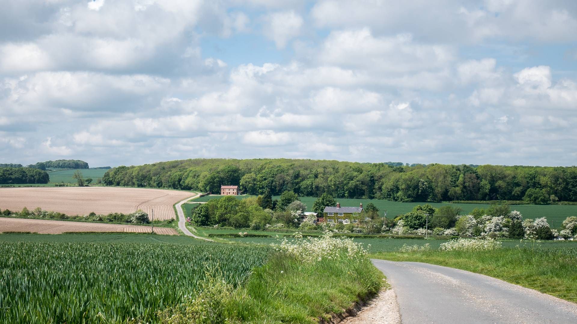
Bus station hiking trails around Huggate offer access to the distinctive landscapes of the Yorkshire Wolds. The region is characterized by rolling hills, serene woodland areas, and unique "dry valleys" like Holm Dale and Horse Dale. As the highest village in the Wolds, Huggate provides expansive views of the surrounding countryside, which is approximately 558 feet (170 meters) above sea level. The terrain features gently undulating paths, making it accessible for various hiking abilities.
Best bus station hiking trails around…
Last updated: October 4, 2026
4.8
(36)
190
hikers
8.84km
02:29
180m
180m
Moderate hike. Good fitness required. Easily-accessible paths. Suitable for all skill levels.
5.0
(7)
60
hikers
5.56km
01:32
90m
90m
Easy hike. Great for any fitness level. Easily-accessible paths. Suitable for all skill levels.

4.8
(8)
22
hikers
21.3km
05:55
390m
390m
Hard hike. Very good fitness required. Easily-accessible paths. Suitable for all skill levels.
4.4
(7)
26
hikers
17.0km
04:39
260m
260m
Moderate hike. Good fitness required. Easily-accessible paths. Suitable for all skill levels.
4.0
(4)
8
hikers
3.80km
01:02
60m
60m
Easy hike. Great for any fitness level. Easily-accessible paths. Suitable for all skill levels.
Get access to more routes and recommendations from other explorers.
Already have an account?
Our route recommendations are based on thousands of hikes, rides, and runs completed by other people on komoot.
Other adventures around Huggate

Tips from the Community


Opportunity for a quick pit-stop whilst admiring the hill known as Far Heights just to the west.
1
0
Lovey sweeping dale linked to Pasture and Millington Dale. Like all of the dales, very easy walking on easy tracks.
1
0
Probably the largest and most spectacular dale in the Yorkshire Wolds and simply unmissable. Emerging at the top of the dale when travelling north along the public footpath past Northfield Farm is breathtaking. It is possible to walk to the west along the southern ridgeline of Horse Dale to pick up the northbound bridleway or southbound footpath at the end of the dale, even though this is not marked as a public right of way on the East Riding of Yorkshire Public Rights of Way Map - https://experience.arcgis.com/experience/4ba3481cedba4b2c906cbd117f5bb5f1 - it is open access land - https://test.yorkramblers.org.uk/Region8/Region8a.html
2
0
This part of the Chalkland Way feels very sheltered and peaceful as it emerges from Stable Plantation and Great Plantation into Tun Dale. A great track to follow.
2
0
This is a great track to include on your route, running south through a succession of scenic dales: Tun Dale, Frendal Dale and Nettle Dale, before rising above Millington Dale and then dropping down into Sylvan Dale with its unique gridline gorse bushes.
2
1
Frequently Asked Questions
How many bus station hiking trails are available around Huggate?
There are 14 hiking trails accessible from bus stations around Huggate, offering a variety of experiences in the Yorkshire Wolds. These include 4 easy, 9 moderate, and 1 difficult route.
Are there any easy, family-friendly bus station hikes in Huggate?
Yes, Huggate offers several easy, family-friendly routes. A great option is the St Mary's Church, Huggate – Huggate Village loop from Huggate, which is just under 4 km and takes about an hour. Another gentle choice is the St Mary's Church, Huggate – Rolling Green Hills loop from Huggate, covering 5.5 km with minimal elevation gain.
What kind of terrain can I expect on bus station hikes around Huggate?
Hikes around Huggate, situated in the heart of the Yorkshire Wolds, feature varied terrain. You'll encounter rolling hills, serene woodland areas, and distinctive 'dry valleys' like Holm Dale and Horse Dale. The routes generally have gently undulating paths, offering a mix of open fields and sheltered sections.
Are there any circular bus station routes available?
Yes, many of the bus station hikes around Huggate are circular, allowing you to start and end at the same point. For example, the St Mary's Church, Huggate – farmers union bronze statue loop from Huggate is a moderate 8.8 km circular route.
What are some notable natural features or viewpoints I can see on these hikes?
As the highest village in the Wolds, Huggate offers expansive views. Many routes will take you through picturesque dry valleys. You might also encounter the Bench With a View of Horse Dale, providing a scenic spot to rest and take in the landscape.
What are some longer, more challenging bus station hikes from Huggate?
For a more challenging experience, consider the St Mary's Church, Huggate – Fridaythorpe Pond loop from Huggate. This difficult route spans over 21 km and involves significant elevation changes, taking nearly 6 hours to complete. Another moderate, longer option is the St Mary's Church, Huggate – Tun Dale, Millington Pastures loop from Huggate, which is over 17 km.
What do other hikers enjoy most about hiking from bus stations in Huggate?
The area is highly rated by the komoot community, with an average score of 4.6 stars from over 580 ratings. Reviewers often praise the tranquil beauty of the Yorkshire Wolds, the well-maintained paths, and the rewarding panoramic views from Huggate's elevated position.
Are there any historical sites or attractions near the bus station hiking trails?
Yes, several interesting sites are accessible. You could explore the fascinating Wharram Percy — Deserted Medieval Village, which offers a glimpse into the region's past. While not directly on a bus station route, it's a significant historical landmark in the wider area.
Can I find natural reserves or gardens to visit near these routes?
Absolutely. The Millington Wood Nature Reserve is a beautiful woodland area known for its diverse flora and fauna. A bit further afield, but worth a visit, are the Burnby Hall Gardens in Pocklington, famous for their extensive collection of water lilies.
What is the best time of year to go hiking from Huggate's bus station?
The Yorkshire Wolds offer beauty throughout the seasons. Spring brings blooming wildflowers, while summer provides lush green landscapes. Autumn transforms the woodlands with vibrant colors, and even winter can offer crisp, clear views. The gently undulating terrain makes most routes accessible year-round, though conditions can vary with weather.
Most popular attractions around Huggate

Get inspired with the komoot mobile app


Explore more
Browse the best Hikes in other regions.
