The best traffic-free bike rides around Büllingen
4.6
(161)
1,458
riders
19
rides
No traffic gravel bike trails around Büllingen traverse a diverse landscape at the intersection of the Ardennes and Eifel regions, recognized as Belgium's highest municipality. The area features an extensive network of trails, including sections of the former Vennbahn railway line, now a premium cycling path. Gravel bikers can expect varied terrain, from solid forest paths and gravel sections to meadow paths, winding through expansive moors, dense forests, and heathlands. The region is characterized by green hills, unique raised peatlands…
Last updated: August 10, 2026
4.3
(6)
21
riders
47.8km
03:04
550m
560m
Hard gravel ride. Very good fitness required. Mostly paved surfaces. Suitable for all skill levels.
8
riders
136km
09:47
2,150m
2,150m
Hard gravel ride. Very good fitness required. Mostly paved surfaces. Suitable for all skill levels.

Sign up for free
4.7
(3)
7
riders
23.5km
01:35
280m
280m
Moderate gravel ride. Good fitness required. Mostly paved surfaces. Suitable for all skill levels.
5.0
(2)
9
riders
Hard gravel ride. Very good fitness required. Mostly paved surfaces. Suitable for all skill levels.
1
riders
Hard gravel ride. Very good fitness required. You may need to push your bike for some segments of this route.
Get access to more routes and recommendations from other explorers.
Sign up for free
Already have an account?
Our route recommendations are based on thousands of hikes, rides, and runs completed by other people on komoot.
Start today with a free account
Your next adventure awaits.
Login or Signup
Popular around Büllingen
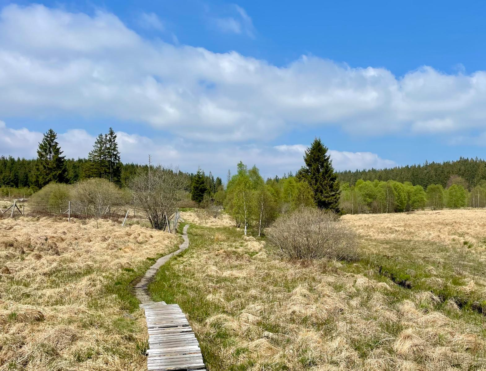
Nature et Histoire à la frontière germano-belge — Chemin du souvenir
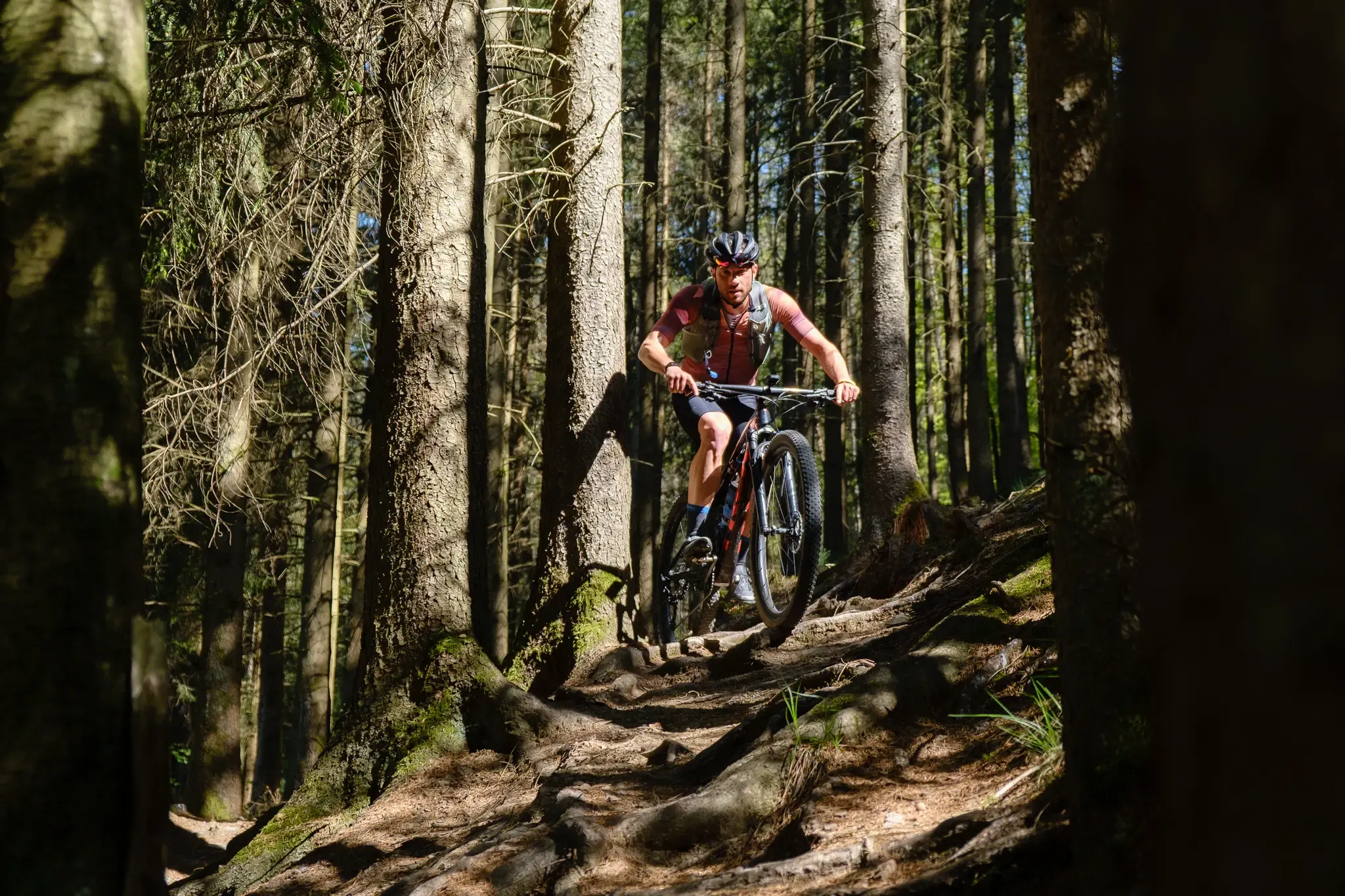
Stoneman Arduenna – old-school mountain biking in East Belgium
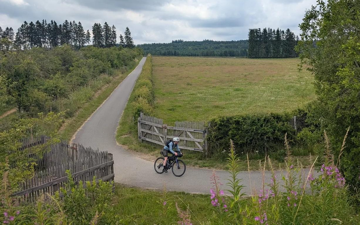
A Vennbahn voyage - bikepacking through three countries in three days
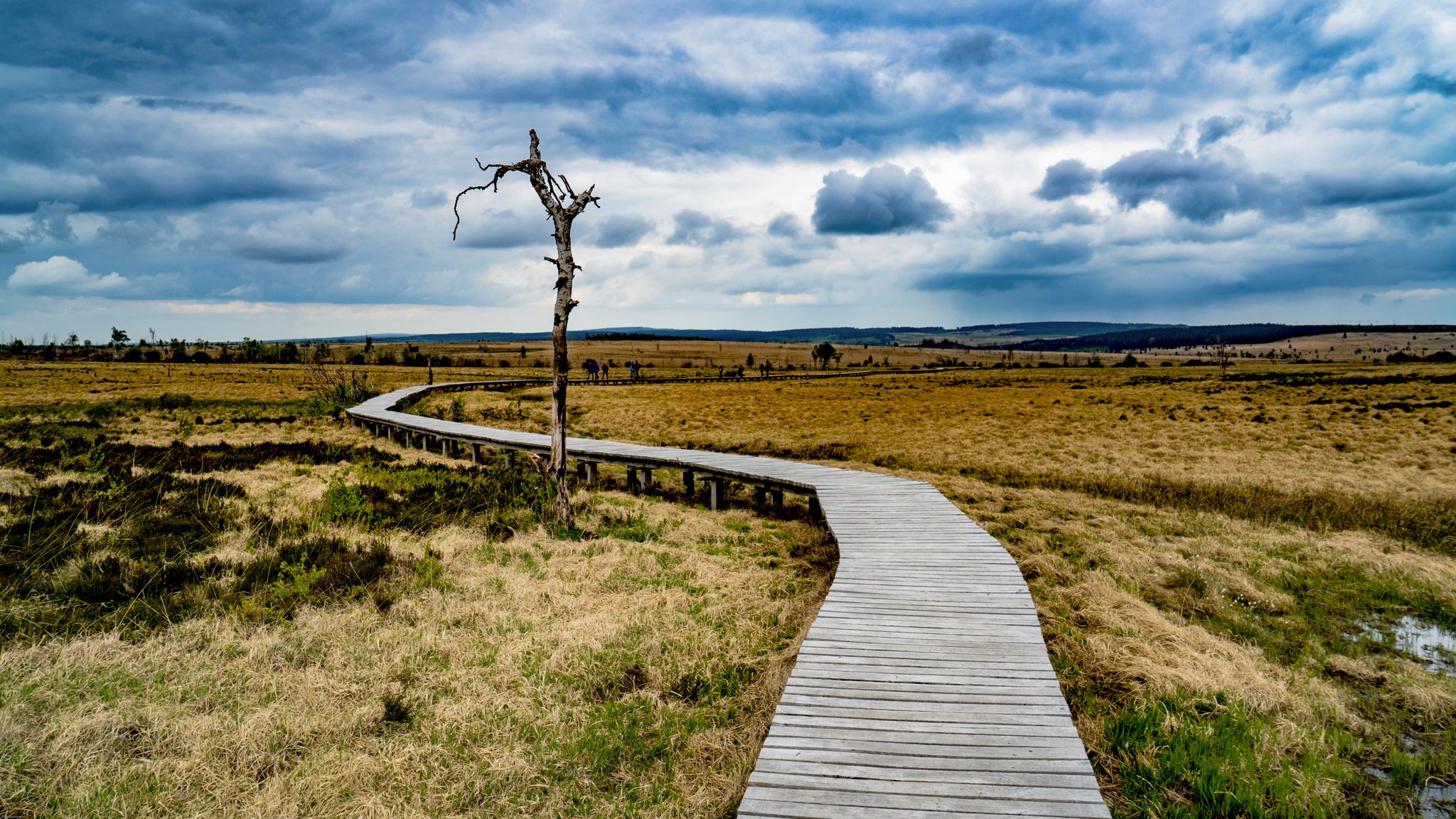
Leisure Tours on enchanted paths – hiking in East Belgium
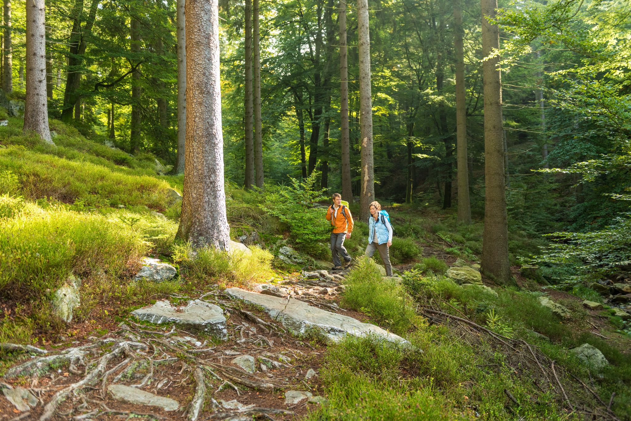
Fantastic regional footpaths — GR hiking paths in East Belgium
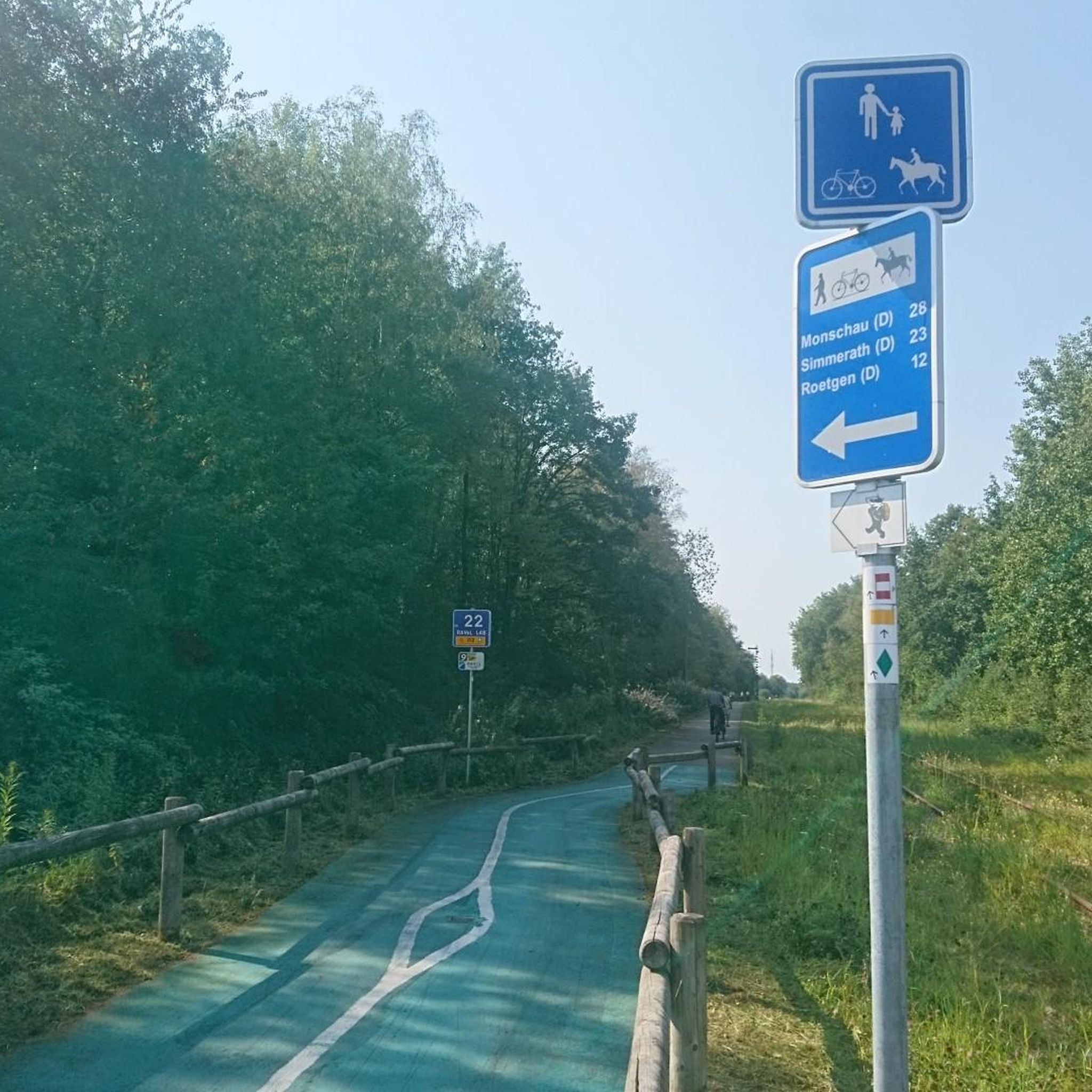
Traffic-free bike rides around Büllingen
Traffic-free bike rides around Büllingen
Other adventures around Büllingen


Tips from the Community

Well, the picturesque stream also has a name, and that is Olef. It flows down here from the Zitterwald, where it originates, and flows into the Oleftalsperre. From there it continues, to Gemünd and there into the Urft and then into the Urftsee.
0
0

An overall beautiful lake with a great path to go around. Although in the summer with warm weather it can also be very busy. Via the adjacent Vennradweg it is also top to reach by bike.
0
0

From here you have a beautiful view of the Bütgenbach Lake.
0
1

The Bütgenbach dam was built between 1929 and 1932. The main function of the dam is to regulate the course of the Warche river. This created the lake of Bütgenbach. It is a starting point for beautiful, popular hiking routes: for example, a 10-kilometer walk can be made around the lake.
15
0
The Bütgenbach dam was built between 1929 and 1932. The main function of the dam is to regulate the course of the Warche river. This created the lake of Bütgenbach. It is a starting point for beautiful, popular hiking routes: for example, a 10-kilometer walk can be made around the lake.
12
0

Dam construction period: 1954–1959 Height above valley floor: 54.6 m Crest length: 282 m Crest width: 5.7 m
0
0

The unique dam structure of the Oleftalsperre is very impressive from this height! Top!
0
0

Frequently Asked Questions
How many no-traffic gravel bike trails are available around Büllingen?
Our guide features 18 curated no-traffic gravel bike trails around Büllingen, offering a variety of experiences through the region's unique landscapes.
What kind of terrain can I expect on these traffic-free gravel trails?
The no-traffic gravel trails around Büllingen offer diverse terrain, including solid forest paths, classic gravel sections, and meadow paths. You'll also encounter quiet, hilly roads winding through expansive moors, dense forests, and heathlands, particularly within the Hohes Venn-Eifel Nature Park. Some sections might even present challenging root-laden trails, catering to various skill levels.
Are there any circular no-traffic gravel routes in Büllingen?
Yes, many of the no-traffic gravel routes around Büllingen are designed as circular loops, allowing you to start and finish at the same point. For example, the View of the Olef Reservoir – Olef Reservoir loop from Wirtzfeld and the Bütgenbach Reservoir – Bütgenbach Dam loop from Parc naturel des Hautes-Fagnes – Eifel are excellent circular options.
What natural attractions can I see along the no-traffic gravel bike trails?
The trails often pass through stunning natural areas. You can experience the unique raised peatlands of the Hohes Venn, cycle along rivers like the Rur and Helle, and enjoy scenic views of lakes such as Bütgenbach Lake and Olef Reservoir. Keep an eye out for the Weißer Stein in Bocksvenn, Belgium's second-highest point, and the Holzwarche Valley, which is famous for its daffodil blooms in spring.
Are there any viewpoints along the quiet gravel routes in Büllingen?
Absolutely. The region offers several elevated points and scenic overlooks. You can find stunning vistas at the Ehrensteinley Viewpoint and from the Weißer Stein Observation Tower. Many routes also provide panoramic views across the Hohes Venn and the forested Ardennes landscape.
What is the best season for gravel biking on Büllingen's no-traffic trails?
Spring and autumn are generally ideal for gravel biking in Büllingen. Spring brings the spectacular daffodil bloom in the Holzwarche Valley, while autumn offers vibrant foliage. Summer is also pleasant, though some trails might be busier. Winter can be challenging due to snow and ice, especially in the higher elevations of the Hohes Venn.
Are there any specific permits required for gravel biking in the Hohes Venn area?
While many trails are freely accessible, certain sensitive areas within the Hohes Venn Nature Park, particularly the core peatland zones, may have specific regulations or require permits for access to protect the unique ecosystem. It's always advisable to check local signage or the official Hohes Venn Nature Park website for the latest information on restricted zones and permit requirements before your ride.
What do other gravel bikers enjoy most about the no-traffic trails in Büllingen?
The komoot community highly rates the no-traffic gravel trails around Büllingen, with an average score of 4.6 stars. Reviewers often praise the peacefulness and solitude of the routes, the diverse and scenic landscapes, and the excellent network of quiet paths that allow for an immersive outdoor experience away from vehicle traffic.
Can I find places to rest or take a break along the trails?
Yes, the region offers various spots for a break. You'll find several huts and shelters, such as the Oberer Steg Shelter and the Sündentempelchen Hut and Picnic Area. Some routes also pass by former train stations now serving as rest areas, like the Mützenich — Former Train Station Rest Area, providing convenient stops.
Are there any historical or cultural points of interest near the no-traffic gravel routes?
While the focus is on natural beauty, you can find historical elements nearby. The charming medieval Monschau Old Town with its half-timbered houses is a short distance away. Additionally, the Schwarzer Mann Summit and Wooden Statue offers a blend of natural and cultural interest.
How challenging are the no-traffic gravel bike trails in this guide?
The no-traffic gravel bike trails featured in this guide are generally considered challenging, with significant elevation gains. For instance, the Olef Reservoir – View of the Dieter Dam loop from Manderfeld involves over 1400 meters of ascent. While the sport type is mountain biking easy, the difficulty grade indicates these routes require good fitness and some riding experience.
Most popular routes around Büllingen
Most popular attractions around Büllingen

Get inspired with the komoot mobile app


Explore more
Browse the best Gravel rides in other regions.
