The best traffic-free bike rides around Kortenaken
3.8
(4)
546
riders
44
rides
No traffic road cycling routes around Kortenaken traverse the undulating landscapes of the Hageland region in Belgium. This area is characterized by rolling hills, often referred to as "witness hills," which provide varied terrain for cyclists. The landscape transitions between gentle slopes, extensive orchards, and open fields, offering a dynamic cycling experience. These physical features contribute to routes with both gradual inclines and more pronounced climbs.
Best no traffic road cycling routes around Kortenaken
- The most popular no traffic road…
Last updated: July 14, 2026
4.5
(2)
45
riders
45.0km
02:33
200m
200m
Moderate road ride. Good fitness required. Some segments of this route may be unpaved and difficult to ride.
40
riders
59.2km
03:06
340m
340m
Moderate road ride. Good fitness required. Some segments of this route may be unpaved and difficult to ride.

Sign up for free
38
riders
59.2km
02:39
200m
200m
Moderate road ride. Good fitness required. Some segments of this route may be unpaved and difficult to ride.
40
riders
93.8km
03:56
160m
160m
Moderate road ride. Good fitness required. Some segments of this route may be unpaved and difficult to ride.
23
riders
Moderate road ride. Good fitness required. Some segments of this route may be unpaved and difficult to ride.
Get access to more routes and recommendations from other explorers.
Sign up for free
Already have an account?
Our route recommendations are based on thousands of hikes, rides, and runs completed by other people on komoot.
Start today with a free account
Your next adventure awaits.
Login or Signup
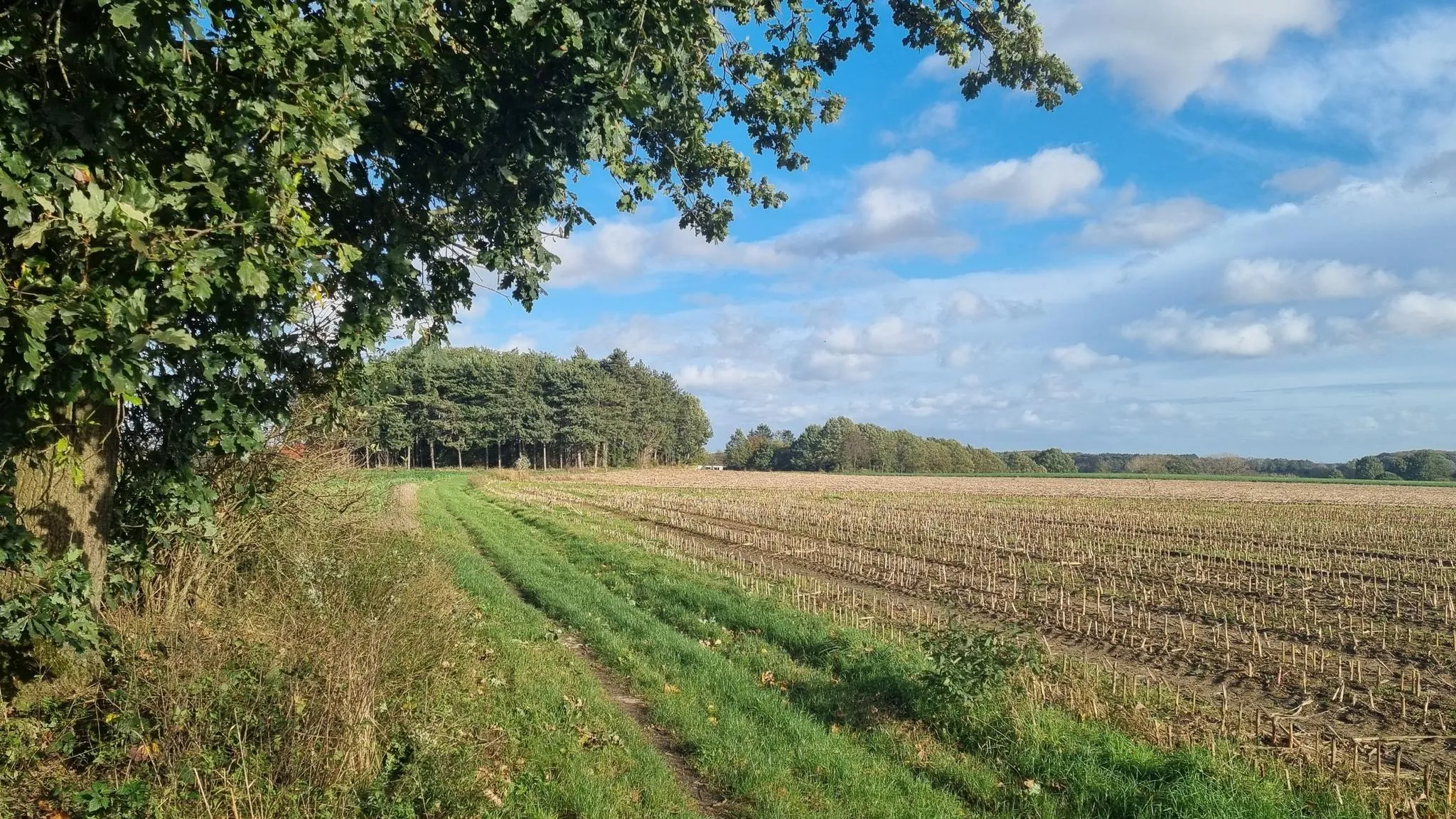

Other adventures around Kortenaken

Tips from the Community

The bicycle bridge consists of 6 bridge sections, which together contain more than 500 tons of steel. The largest bridge section is 44 meters long and weighs 130 tons. The complete bicycle bridge is 200 meters long and 6 meters wide. You cycle or walk 10 meters above the water surface.
3
0

Webbekoms Broek is part of the Webbekomsbroek-Borchbeemden Flemish Nature Reserve, a contiguous area of 397 hectares managed by the Flemish Agency for Nature and Forests. This also includes the Diesters Broek, the Schaffens Broek, and the Borchbeemden: Rotbroek, Gorenbroek, and Sint-Jansberg. Several watercourses flow through the area. The most important of these is the Demer. The others are primarily its tributary, the Zwarte Beek, the Grote Leigracht, and the Leigracht. The Demer Valley has been plagued by floods for centuries. The most severe floods in recent history date back to 1998. There were also serious floods in Diest in 2008. To prevent severe water damage, retention basins and floodplains were installed. The Webbekoms Broek and its surroundings constitute a floodplain. In September 1998, a retention basin with a surface area of 144 hectares was put into operation in the Webbekoms Broek. The area can hold 3.5 million m³ of water. There is an inner basin and an outer basin. The inner basin is surrounded by dikes. The remainder forms the outer basin, which primarily functions as a nature reserve.
1
1

A beautiful structure along the locks.
1
0

Pleasant gravel path where you can enjoy the Tienbunders nature reserve. Slow down and savor the unique forest and farmland.
5
0
On the spot where, according to legend, a statue of Our Lady, plowed out by a team of oxen, hung against an oak tree, a late Gothic chapel was built in 1538, which quickly became a place of pilgrimage. The chapel's interior also pleasantly surprises visitors. The rood screen is decorated with a beautiful apostle pew from 1613, probably from the Clerk's Chapel. Pilgrims used to offer a kilo of salt here to prevent children from bedwetting. Even today, the chapel attracts many visitors and, thanks in part to the procession, the May pilgrimage, and the candlelight procession, remains a center of religious life. It is open daily. On Sunday, September 8th, or the following Sunday, there is the annual rosary procession around the chapel to commemorate its dedication. This procession features a modern depiction of the mysteries of the Rosary, which also includes the Seven Sorrows of Our Lady. At the beginning of the procession, a farmer walks with an old plow. This refers to the legend that a farmer in the early sixteenth century allegedly found the statue of the Virgin Mary while plowing. The chapel on Ossenweg is said to have been built later in this neighborhood. The statue of Our Lady of Ossenweg is also carried in the procession. Source: https://www.zoutleeuw.be/kapel-van-de-ossenweg
4
0
The Schulensmeer is the largest inland lake in Flanders. Numerous benches invite you to take a break.
5
0

Frequently Asked Questions
How many no-traffic road cycling routes are available around Kortenaken?
There are nearly 50 dedicated no-traffic road cycling routes around Kortenaken. These routes are designed to offer a peaceful cycling experience away from vehicular traffic, allowing you to fully enjoy the Hageland's scenic landscapes.
What is the general difficulty level of no-traffic road cycling routes in Kortenaken?
The majority of no-traffic road cycling routes in Kortenaken are classified as moderate, offering a good balance of challenge and enjoyment. There are also several easy routes perfect for a relaxed ride, and a few difficult options for experienced cyclists seeking more demanding terrain.
What kind of landscapes can I expect on these routes?
You'll experience the undulating landscapes of the Hageland region, characterized by rolling hills, orchards, and fields. Routes often feature picturesque views from 'witness hills' and traverse diverse terrain, from gentle slopes to more pronounced inclines, providing a dynamic cycling experience.
Are there any notable landmarks or viewpoints along the no-traffic road cycling routes?
Yes, several routes pass by significant landmarks and offer panoramic views. A prominent feature is the Vlooyberg Tower, an impressive Corten steel viewing tower offering extensive vistas. You might also encounter the Maagdentoren Zichem or the historic Gempemolen Watermill. For a route that combines views with local history, consider the Chapel with a View – View of the Grote Gete loop from Kortenaken.
What do other cyclists say about road cycling in Kortenaken?
The no-traffic road cycling routes in Kortenaken are highly rated by the komoot community, with an average score of 4.4 out of 5 stars. Cyclists often praise the quiet, well-maintained paths and the beautiful, varied scenery of the Hageland region, making for a very enjoyable ride.
Are there any routes that are particularly suitable for families?
While specific 'family-friendly' designations aren't always explicit, the easy rated routes are generally suitable for families. For example, the Monument: Black Devils – Railway Line 22 loop from Hoeleden is an easy 36.6 km route that follows a former railway line, often indicating flatter, more accessible terrain.
Can I access these routes using public transport?
Kortenaken and the surrounding towns have public transport connections, primarily bus services, which can help you reach starting points for some routes. However, direct public transport access to every specific route start may vary. It's advisable to check local bus schedules and routes in advance to plan your journey effectively.
Where can I park my car when starting a no-traffic road cycling route in Kortenaken?
Parking options are typically available in the centers of Kortenaken and nearby villages like Kersbeek-Miskom or Hoeleden, which serve as common starting points for many routes. Look for designated public parking areas. For instance, routes like the Horst Castle – Wijngaardstraat loop from Kersbeek-Miskom often have parking available near their starting locations.
Are there any natural reserves or lakes to see on these routes?
Yes, the region features beautiful natural areas. You can cycle past the Schulensmeer, a significant lake, or explore the Webbekoms Broek Nature Reserve – Kamerstraat loop from Kersbeek-Miskom. These areas often include birdwatching huts like the Bird observation hut Schulensmeer, offering opportunities to enjoy local wildlife.
What is the best time of year to enjoy no-traffic road cycling in Kortenaken?
The spring and summer months are generally ideal for road cycling in Kortenaken, offering pleasant temperatures and the full bloom of the region's orchards and fields. Autumn also provides beautiful scenery with changing foliage. While cycling is possible year-round, these seasons offer the most comfortable and visually rewarding experience.
Are there any long-distance no-traffic road cycling routes for experienced riders?
Yes, for those seeking longer distances, routes like the Schulensmeer – Albert Canal loop from Kersbeek-Miskom offer nearly 94 km of cycling. These longer routes often combine the quiet roads with varied terrain, providing a fulfilling challenge for experienced road cyclists.
Most popular attractions around Kortenaken

Get inspired with the komoot mobile app


Explore more
Browse the best Road cycling routes in other regions.
