The best traffic-free bike rides around Grado
4.4
(789)
12,805
riders
3
rides
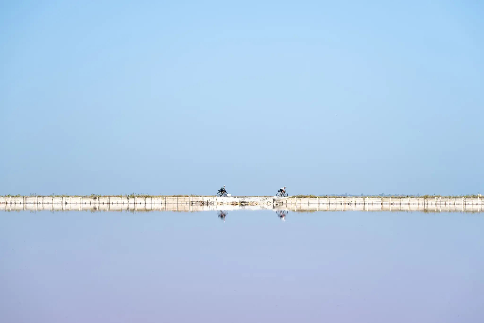
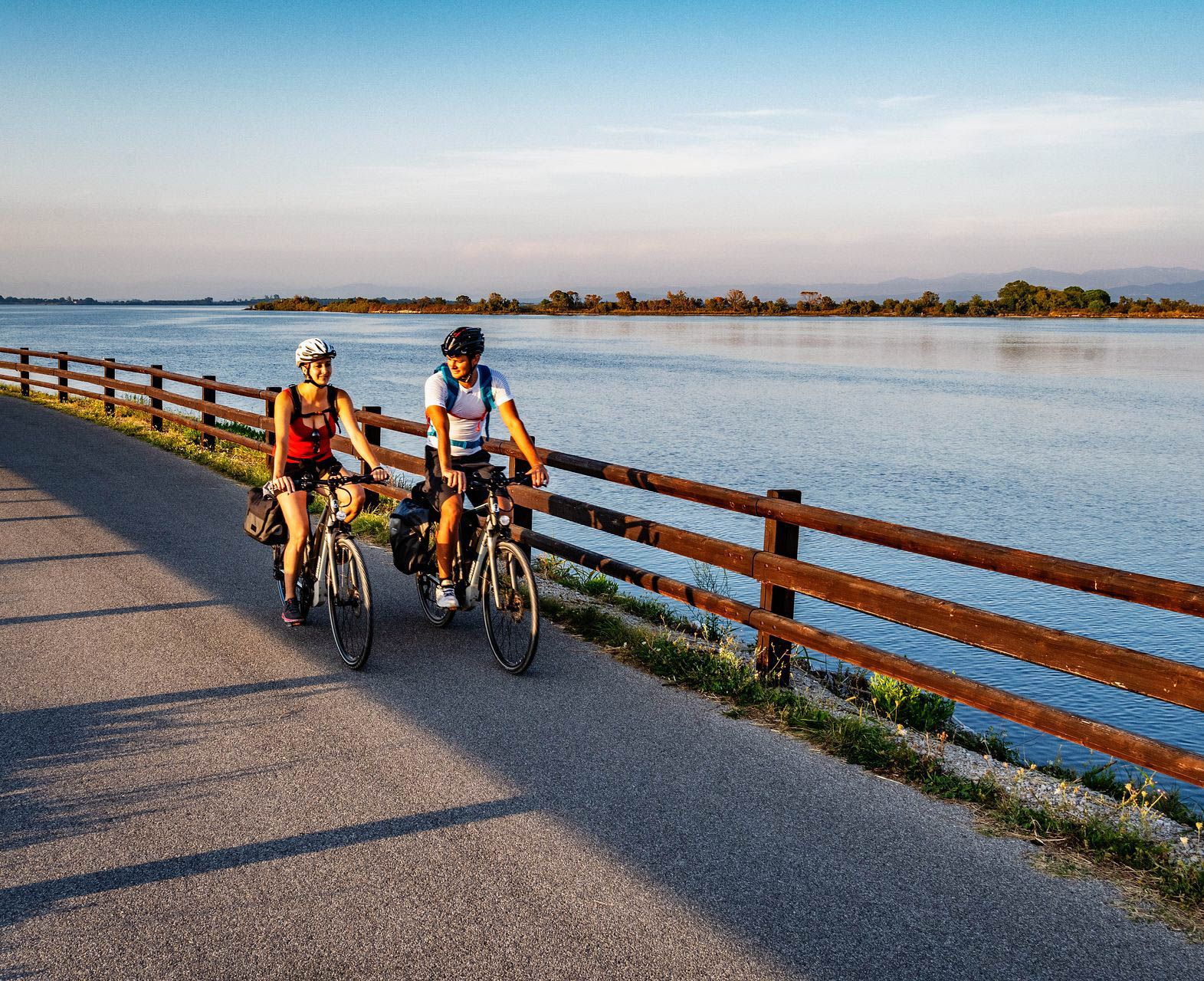
No traffic road cycling routes around Grado are characterized by a diverse landscape, primarily featuring the expansive Grado Lagoon with its intricate network of canals and islands. The region offers coastal paths along the Adriatic Sea, alongside significant nature reserves such as Valle Cavanata and Foce dell'Isonzo. Inland, routes traverse flat agricultural fields, with connections to the more varied terrain of the Karst region, which includes hills.
Best no traffic road cycling routes around Grado
- The most popular no traffic…
Last updated: July 14, 2026
4.8
(11)
181
riders
Moderate road ride. Great for any fitness level. Some segments of this route may be unpaved and difficult to ride.
5.0
(1)
41
riders
Moderate road ride. Good fitness required. Some segments of this route may be unpaved and difficult to ride.

Sign up for free
11
riders
Easy road ride. Great for any fitness level. Mostly well-paved surfaces and easy to ride.
8
riders
Easy road ride. Great for any fitness level. Mostly well-paved surfaces and easy to ride.
4
riders
Easy road ride. Great for any fitness level. Mostly well-paved surfaces and easy to ride.
Our route recommendations are based on thousands of hikes, rides, and runs completed by other people on komoot.
Start today with a free account
Your next adventure awaits.
Login or Signup



Tips from the Community


Wonderful river, with an even more beautiful water color
3
0
Super beautiful river in front of Grado
3
0

The Isonzo river seen from the road bridge
0
0

Curious fishermen's houses
0
0

The Belvedere Trabucco is a panoramic viewpoint located in Grado, precisely along the dam that borders the historic center and overlooks the Adriatic Sea. This place takes its name from the "trabucchi", the ancient and ingenious wooden fishing machines typical of the Adriatic coasts, characterized by long arms that support a balance net. Although trabucchi are more famous in Gargano or on the Abruzzo coast, even in Grado these structures have marked the history of lagoon fishing. The belvedere offers a breathtaking view that ranges from the Friulian coasts to the profile of Trieste and Istria on clearer days. It is an unmissable stop for those walking along the seafront promenade, transforming into a magical place at sunset, when the wooden structure of the trabucco stands out like a dark shadow against the bright colors of the sky and water.
0
0

One of the three entrance gates of Palmanova, with Porta Aquileia and Porta Udine.
0
0
The star-shaped city, a fortress city that represents a masterpiece of military engineering commissioned by the Serenissima Republic of Venice and then expanded in the 19th century by Napoleon Bonaparte who added the second ring of walls.
0
0
Frequently Asked Questions
How many traffic-free road cycling routes are available around Grado?
Grado and its surrounding areas offer a variety of traffic-free road cycling routes. While this guide highlights several excellent options, the region is known for its extensive network of paths, including sections of major routes like the Alpe Adria Cycle Route and FVG2, providing many opportunities for car-free riding.
Are there any easy, traffic-free road cycling routes suitable for beginners?
Yes, there are several easy, traffic-free options. For instance, the route from Porta Aquileia (Palmanova) – Palmanova loop from San Giorgio di Nogaro offers a gentle ride with minimal elevation gain. Another accessible option is The Torviscosa company village – Torviscosa Cellulose Factory loop from San Giorgio di Nogaro, which is also rated as easy.
What kind of landscapes can I expect on traffic-free road cycling routes near Grado?
You can expect a diverse range of landscapes. Many routes traverse the serene Grado Lagoon, offering picturesque views and opportunities for birdwatching. Others follow the Adriatic coastline, providing stunning sea vistas. Inland, you'll find paths winding through flat agricultural fields, and some longer routes connect to the Collio region's vineyards or even the more varied terrain of the Karst region.
Are there any circular traffic-free road cycling routes?
Yes, many of the routes are designed as loops, allowing you to start and end in the same location. Examples include the Trincea delle Frasche – Summit 3 of Monte San Michele loop from Trieste Airport and the Bridge Over the Isonzo River – Isonzo River loop from Turriaco. The 'Grado Loop' is also a popular easy route exploring the historic center, beaches, and lagoon.
What attractions can I see along traffic-free road cycling routes around Grado?
The routes offer access to various points of interest. You can cycle along the Lagoon Cycle Path between Aquileia and Grado, explore the historic Grado Old Town, or visit the Mandracchio Harbor. Nature lovers will appreciate routes passing through the Valle Cavanata Regional Nature Reserve, known for its birdlife. For history enthusiasts, the Roman Forum of Aquileia is also accessible.
What is the best season for traffic-free road cycling in Grado?
Grado is often considered a 'cyclist's paradise' for much of the year. Spring and autumn offer pleasant temperatures and fewer crowds, making them ideal. Summer is also popular, especially for coastal routes, though it can be warmer. Even winter can be suitable for cycling, particularly on sunny days, as the region generally experiences mild conditions.
Are there any routes that connect to historical sites or medieval villages?
Absolutely. The region is rich in history. For example, the route Strassoldo — Medieval Village – Via Julia Augusta Roman Ruins loop from San Giorgio di Nogaro takes you past historical landmarks. The 'Archaeological Route' is another themed path exploring the Aquileian countryside, known for its ancient Roman heritage.
What do other road cyclists enjoy most about traffic-free cycling in Grado?
The area is highly rated by the komoot community, with an average score of 4.6 stars from 136 ratings. Reviewers often praise the tranquil lagoon scenery, the well-maintained coastal paths, and the extensive network of cycle paths that allow for peaceful, car-free riding experiences.
Are there any nature reserves accessible via traffic-free cycling routes?
Yes, Grado is surrounded by significant nature reserves. The Valle Cavanata Regional Nature Reserve and Foce dell'Isonzo – Isola della Cona are both accessible via dedicated cycle paths, such as sections of the FVG2 route. These areas are renowned for their ecological value and diverse birdlife.
Can I find cafes or places to stop for refreshments along the traffic-free routes?
While specific cafes are not listed for every route, Grado and the towns along the major cycle paths are well-equipped with services for cyclists. You'll find opportunities to stop for refreshments, especially in the main settlements and tourist areas. Many accommodations also cater to cyclists with specific services.
Are there options for longer, more advanced traffic-free road cycling routes?
While Grado itself is largely flat, longer routes extend into more varied terrain. The region connects to major international routes like the Alpe Adria Cycle Route (FVG1) and EuroVelo 8 (FVG2), which offer extended distances and can include more challenging sections as they move away from the immediate coastal and lagoon areas towards the Karst region.
Most popular attractions around Grado

Get inspired with the komoot mobile app


Explore more
Browse the best Road cycling routes in other regions.
