The best traffic-free bike rides around Calolziocorte
4.2
(167)
1,208
riders
16
rides
No traffic gravel bike trails around Calolziocorte are found in the scenic Lombardy region of Italy. The area features a diverse landscape, including tranquil riverside paths along the Adda River, picturesque circuits around Lake Garlate and Lake Olginate, and challenging pre-Alpine foothills. These routes often include unpaved segments through forests and hills, providing varied terrain for gravel biking. The region's natural features include the Adda River, several lakes, and prominent peaks in the pre-Alps.
Best no traffic gravel bike trails…
Last updated: October 3, 2026
4.3
(53)
324
riders
82.1km
04:57
650m
650m
Hard gravel ride. Very good fitness required. Mostly paved surfaces. Suitable for all skill levels.
4.6
(35)
217
riders
47.9km
03:05
220m
220m
Moderate gravel ride. Good fitness required. Mostly paved surfaces. Suitable for all skill levels.

5.0
(3)
31
riders
92.0km
06:16
1,760m
1,760m
Hard gravel ride. Very good fitness required. Mostly paved surfaces. Suitable for all skill levels.
4.3
(3)
54
riders
53.2km
04:15
1,720m
1,720m
Hard gravel ride. Very good fitness required. Mostly paved surfaces. Suitable for all skill levels.
4.0
(2)
13
riders
63.1km
04:38
730m
730m
Hard gravel ride. Very good fitness required. Mostly paved surfaces. Suitable for all skill levels.
Get access to more routes and recommendations from other explorers.
Already have an account?
Our route recommendations are based on thousands of hikes, rides, and runs completed by other people on komoot.
Start today with a free account
Your next adventure awaits.

Other adventures around Calolziocorte

Tips from the Community

Spectacular and exciting, my favorite! Watch out for the road surface on the descent.
0
0


relatively low gradient, almost complete absence of cars and spectacular views guarantee a fantastic climb
0
0

A stunning viewpoint during the ride
0
0

The Morterone climb is an iconic and fascinating cycling ascent in the Lecco area, starting from Ballabio and leading to the village of the same name, known for being one of the smallest in Italy. Far from traffic, it unfolds on a narrow road immersed in nature, with manageable gradients but a road surface that is occasionally uneven. Technical Route Data Starting point: Ballabio (reachable from Lecco) Ending point: Morterone (after passing the Forcella di Olino) Length: Approximately 8.5 km (from Ballabio to the Forcella), or approximately 17-20 km starting from the center of Lecco Elevation gain: Approximately 550 m (from Ballabio) Average gradient: Approximately 5% (with maximum sections at 9-10%)
1
0

scenic, nice curves, not tiring, a classic of the area
0
0

The Naviglio della Martesana, initially known as Naviglio Piccolo, is one of the Milanese canals that connects Milan with the course of the Adda river through the municipalities of Martesana. Commissioned in the 15th century by Francesco Sforza, it was used for irrigating the countryside but also represented the ambitious project of connecting Milan with Lake Como and thus with the Alps and Ticino. The Naviglio della Martesana is a place rich in history and beauty, a heritage for everyone that, however, today is still little known and protected. Along the Naviglio runs a rather busy cycle path, which allows you to admire the landscape and cultural beauties, such as the rich flora, fauna, or the numerous historic villas, including the Renaissance Villa Melzi d’Eril in Vaprio d’Adda.
1
0

In Groppello d'Adda, along the Martesana Canal, there is a large waterwheel called "el rudun." It is not a mill, but a noria that was used to raise water for irrigation. It was built in 1618 at the behest of Cardinal Federico Borromeo. It was used to irrigate the vegetable gardens and gardens of the Archbishop's Villa. Tradition attributes the design to Leonardo da Vinci. The water also fed kitchens, washhouses, and livestock watering troughs. The original wheel was dismantled in the late 19th century. The current one is a 1989 reconstruction, restored several times. It has a diameter of 11 meters and eight large blades. Today, it is a historical and educational symbol that tells the story of the area's past.
3
0
Frequently Asked Questions
How many no-traffic gravel bike trails are available around Calolziocorte?
There are over 15 dedicated no-traffic gravel bike trails around Calolziocorte featured in this guide. While many offer challenging terrain through the pre-Alpine foothills, you can also find moderate options for a less strenuous ride.
What kind of terrain can I expect on no-traffic gravel bike trails in Calolziocorte?
The no-traffic gravel bike trails in Calolziocorte offer a diverse range of terrain. You'll find tranquil riverside paths along the Adda River, picturesque circuits around Lake Garlate, and more challenging routes through the pre-Alpine foothills, often featuring unpaved segments and significant elevation gains.
Are there any family-friendly no-traffic gravel routes in the Calolziocorte area?
Yes, for families looking for easier, traffic-free options, the riverside paths along the Adda River are generally suitable. The "From Calolziocorte to Brivio – gravel tour along the Adda river" is a good example of a route that offers a more relaxed experience, perfect for enjoying the natural surroundings without vehicle traffic.
What are some scenic viewpoints or natural attractions along these gravel trails?
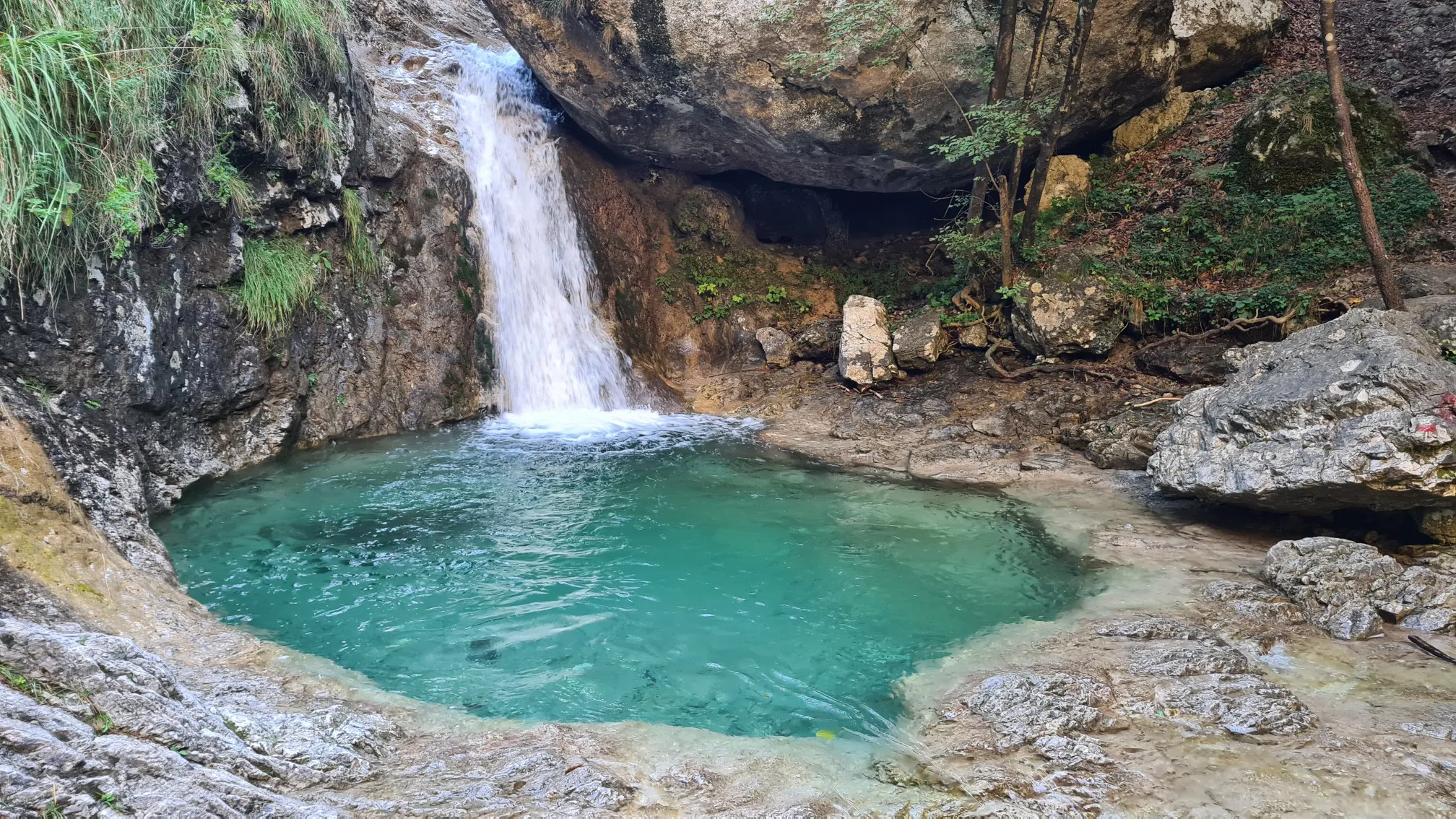
Many trails offer stunning views. You can find panoramic vistas of multiple lakes, including Como, Pusiano, Annone, and Garlate, from higher elevations. Specific natural highlights include the Pertüs Pond and various waterfalls like the Pools and Waterfalls of the San Carlo Stream. The Northern Adda Park also provides beautiful rural landscapes.
Can I find circular no-traffic gravel routes around Calolziocorte?
Yes, many of the no-traffic gravel routes in the area are designed as loops, allowing you to start and end in the same location. Examples include the challenging View of the Adda River loop from Sala Al Barro-Galbiate or the scenic Valcava Pass – Brivio Bridge loop from Calolziocorte-Olginate.
What do other gravel bikers say about the no-traffic trails in Calolziocorte?
The no-traffic gravel trails around Calolziocorte are highly rated by the komoot community, with an average score of 4.3 out of 5 stars from 68 ratings. Reviewers often praise the diverse landscapes, the challenge of the pre-Alpine climbs, and the tranquility of the car-free paths along the rivers and lakes.
Are there any challenging no-traffic gravel routes for experienced riders?
Absolutely. For experienced riders seeking a challenge, routes like the Artavaggio Plateau – San Pietro Summit loop from Calolziocorte-Olginate offer significant elevation gain and demanding terrain through the pre-Alpine foothills. These routes require good to very good fitness.
What is the best time of year for gravel biking in Calolziocorte?
The best time for gravel biking in Calolziocorte is generally during spring and autumn when the weather is mild and the scenery is vibrant. Summer can be pleasant, especially on shaded riverside paths, but higher elevations might be hot. Winter riding is possible, but some higher routes may be affected by snow or ice, so checking local conditions is advisable.
Are there any historical or cultural sites accessible from the no-traffic gravel trails?
Yes, the region offers cultural interest. The Sanctuary and Monastery of Santa Maria del Lavello, located on the Adda River, is an international destination on the "cloister route." While not directly on every gravel trail, some routes may pass near or offer detours to such historical structures, adding to the experience.
Where can I find parking for gravel biking near Calolziocorte's no-traffic trails?
Parking is generally available in and around Calolziocorte, particularly near popular starting points for trails along the Adda River or Lake Garlate. Specific parking information can often be found on individual route pages or local tourism resources. For broader information on the region's outdoor activities, you might find resources on Lecco Tourism helpful.
Are there options for public transport to access gravel trails in Calolziocorte?
Calolziocorte is connected by public transport, making it possible to reach the area and access various trailheads. Local train and bus services can often accommodate bicycles, though it's always best to check specific operator policies and schedules in advance for the most convenient options to start your no-traffic gravel adventure.
Most popular routes around Calolziocorte
Most popular attractions around Calolziocorte

Get inspired with the komoot mobile app


Explore more
Browse the best Gravel rides in other regions.
