The best traffic-free bike rides around Bovegno
4.1
(31)
247
riders
7
rides
No traffic gravel bike trails around Bovegno are found in the Alta Val Trompia, a region characterized by diverse and rugged natural landscapes. The area features high mountains, extensive plateaus, and river valleys, providing varied terrain for gravel biking. Routes often incorporate a mix of paved and unpaved surfaces, including smooth dirt paths and secondary roads. The landscape includes significant peaks like Monte Guglielmo and the Caregno Plateau, offering a backdrop of beech and fir forests, summer pastures, and karst…
Last updated: November 13, 2026
4.0
(1)
10
riders
48.8km
03:55
1,350m
1,350m
Hard gravel ride. Very good fitness required. Mostly paved surfaces.
3.8
(4)
19
riders
38.6km
02:24
330m
330m
Moderate gravel ride. Good fitness required. Mostly paved surfaces.

4.2
(10)
36
riders
82.3km
05:51
1,440m
1,440m
Hard gravel ride. Very good fitness required. Mostly paved surfaces.
5.0
(1)
12
riders
42.0km
03:00
730m
730m
Hard gravel ride. Very good fitness required. Mostly paved surfaces.
3.0
(1)
8
riders
37.4km
03:17
1,200m
1,200m
Hard gravel ride. Very good fitness required. Mostly paved surfaces.
Get access to more routes and recommendations from other explorers.
Already have an account?
Our route recommendations are based on thousands of hikes, rides, and runs completed by other people on komoot.
Start today with a free account
Your next adventure awaits.



Tips from the Community

Losine is a small and characteristic mountain village of about 650 inhabitants located in the middle Val Camonica, in the province of Brescia (Lombardy). Perched at an altitude of about 368 meters, it stands in a suggestive position at the foot of the majestic Mount Concarena and along the banks of the Oglio river.
0
0

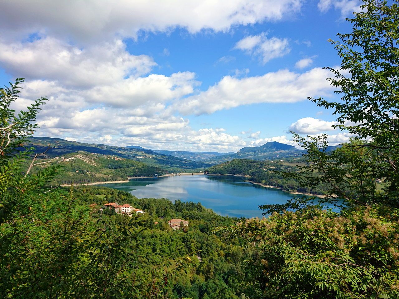
aerial view over the valley, I was impressed
0
0

Truly unexpected. The short paved road near the small lake is very steep and very narrow, but worth it.
0
0
The Ciclovia dell'Oglio is an excellent cycle touring route of 282 kilometers that entirely follows the course of the Oglio river, connecting the mountains of Lombardy to the Po Valley. Considered the "most beautiful cycle path in Italy" (title received at the Italian Green Road Award 2019), it has a total negative elevation difference of almost 1,862 meters, starting from 1,883 meters at the Passo del Tonale to reach 21 meters of the Po at San Matteo delle Chiaviche. The route is 80% asphalt and 20% compact dirt road and is ideal for gravel, trekking, or e-bikes.
0
0

By train to Edolo and then by bike up to Ponte di legno. The next day, departure in four stages to Mantua. Beautiful cycle path. Recommended
0
0

A distinctive Sanctuary, built as a votive offering by the inhabitants of Gianico in the 16th century, in gratitude for escaping the destruction of the village, through intercession, following a great flood. The original structure was much smaller and the small church had the traditional apse to the east, while the current one is to the south. The original chapel was the current room now used as a votive offering. The original sanctuary was enlarged and altered in the mid-18th century, taking on its current classic Baroque appearance, easily recognizable from the facade and the rich interior, with a single nave, with a frescoed vault and stuccoes. Although the festival is celebrated every year, in the year (...9) preceding the decade, a great festival is celebrated and the statue of the Madonnina is led, with a solemn procession, into the village below the Sanctuary. For the occasion, the village is completely covered with many fir garlands, which create spectacular galleries, adorned with millions of paper flowers. The Sanctuary is indicated with several names: Madonnina di Gianico (by its inhabitants), Madonna del Monte (on some maps), Madonna della Neve on others. My personal thanks go to the Sister who guards the Sanctuary. Who, although closed on Tuesdays, offered to open the Sanctuary for me to visit and also to act as my guide. Thank you very much, Sister!!!
12
0

Wide bridge with a beautiful bottom and a splendid view of the Oglio
0
0

Perfect for driving. Beautiful panorama.
2
1
Frequently Asked Questions
How many traffic-free gravel bike trails are available around Bovegno?
The area around Bovegno features 8 dedicated routes for traffic-free gravel biking. These trails offer a mix of moderate and difficult options, ensuring a challenging and rewarding experience away from vehicle traffic.
What is the general difficulty level of traffic-free gravel biking in Bovegno?
The traffic-free gravel bike trails around Bovegno are primarily rated as moderate to difficult. You'll encounter significant elevation gains, with some routes featuring over 2,000 meters of ascent. For example, the Croce di Salven Pass loop from Boario Terme involves over 2,100 meters of climbing. Riders should be prepared for varied terrain and steep gradients.
Are there any family-friendly traffic-free gravel routes near Bovegno?
While many routes around Bovegno are challenging, the broader region, including the "Greenway of Valli Resilienti," offers extensive bike paths suitable for families. These paths, such as those along the Mella river, provide easier, traffic-free options for a more relaxed cycling experience. Always check the specific route details for suitability.
What kind of scenery can I expect on these traffic-free gravel bike trails?
The traffic-free gravel trails around Bovegno offer stunning natural beauty. You'll ride through diverse landscapes, from high mountains like Monte Guglielmo and Monte Muffetto, offering panoramic views, to the unique karst formations of the Caregno Plateau. Expect to see beech and fir forests, summer pastures, and dramatic mountain passes such as Passo Crocedomini.
Are there any circular traffic-free gravel routes available?
Yes, several traffic-free gravel routes around Bovegno are designed as loops. For instance, the Cividate-Breno Cycle Tunnel loop offers a substantial circular ride. These loops allow you to start and end at the same point, making logistics easier.
What do other gravel bikers enjoy most about the traffic-free trails in Bovegno?
The komoot community highly rates the gravel biking experience in Bovegno, with an average score of 4.3 stars. Riders frequently praise the challenging terrain, the stunning panoramic views from peaks like Monte Guglielmo, and the sense of solitude offered by the traffic-free paths through the Alta Val Trompia.
Can I find cafes or accommodation along the traffic-free gravel routes?
While the focus of these routes is often remote natural beauty, some trails may pass near villages or mountain huts. For example, the Almici Hut on Monte Guglielmo offers a place to rest. It's advisable to plan your route and check for available services in advance, especially on longer, more isolated rides.
What kind of bike is recommended for these traffic-free gravel trails?
Given the varied terrain, which includes both smooth dirt paths and sections with gradients up to 20%, a gravel bike with tires at least 30mm wide is highly recommended for safe navigation. Some challenging sections may even require pushing your bike, so a robust setup is beneficial.
Are there any specific natural monuments or highlights to look out for?
Absolutely. Along the traffic-free routes, you can discover several natural monuments and highlights. Keep an eye out for the Monument to the Redeemer on Monte Guglielmo, the scenic Monte Muffetto summit, and the expansive Val Grigna Regional Forest. These points offer great opportunities for breaks and photography.
Is public transport an option to access the starting points of these trails?
Accessing some trailheads by public transport might be limited due to the remote nature of many traffic-free gravel routes in the Bovegno area. While the broader Val Trompia region has some public transport, it's often more convenient to use a car to reach the starting points, especially for routes deep within the mountains. Always check local transport schedules if planning to use public transport.
What is the best time of year for traffic-free gravel biking in Bovegno?
The best time for traffic-free gravel biking in Bovegno is typically from late spring to early autumn (May to October). During these months, the weather is generally more stable, and mountain passes are clear of snow. Always check local weather conditions before heading out, as mountain weather can change rapidly.
Are there any traffic-free routes that pass by lakes or rivers?
Yes, some routes in the wider region connect with the beautiful lakes and rivers. For example, the Old Road along Lake Iseo offers a stunning loop along the lake. The Mella river also features paths suitable for gravel biking, providing scenic rides along the water.
Most popular attractions around Bovegno

Get inspired with the komoot mobile app


Explore more
Browse the best Gravel rides in other regions.
