The best hikes from bus stations in Nature park Kaunergrat
4.6
(20468)
104,791
hikers
100
hikes
Hiking in Nature park Kaunergrat offers a diverse range of landscapes, from the Inn Valley's dry steppe slopes to glaciated peaks exceeding 3,000 meters in the Ötztal Alps. The park is characterized by the rugged Kaunergrat mountain range, featuring dramatic rock formations and steep peaks. Its varied topography includes high alpine regions, cirque lakes like Rifflsee, and unique habitats such as the Piller Moor. This region provides a comprehensive network of bus station hiking trails across all altitude levels of the Alps.
Best bus station hiking trails in Nature park Kaunergrat
- The most popular bus station hiking route is From Plangeross to Kaunergrathütte – Kaunergrat Nature Park, a 7.8 miles (12.5 km) trail that takes 6 hours 6 minutes to complete. This difficult route features significant elevation gain as it ascends towards the Kaunergrathütte.
- Another top favourite among local hikers is Trail to Mittelberglesee, a difficult 5.5 miles (8.9 km) path. This trail leads to an alpine lake, offering high-altitude views and challenging terrain.
- Local hikers also love the Rifflbach Waterfall – Riffelsee Circular Trail loop from Brandkogel, a 7.5 miles (12.0 km) trail leading through alpine scenery and past a waterfall, often completed in about 4 hours 17 minutes.
- Hiking in Nature park Kaunergrat is defined by glaciated peaks, rugged mountain ridges, and unique moorlands. The network offers options for various ability levels, from accessible paths to demanding alpine routes.
- The routes in Nature park Kaunergrat are highly rated by the komoot community with an average score of 4.6 stars from over 19,000 reviews. More than 99,000 hikers have used komoot to explore Nature park Kaunergrat's varied terrain.
Last updated: July 27, 2026
4.9
(47)
427
hikers
12.5km
06:06
1,180m
1,180m
Hard hike. Very good fitness required. Sure-footedness, sturdy shoes and alpine experience required.
4.7
(15)
76
hikers
8.92km
04:08
930m
930m
Hike the difficult 5.5-mile From Trenkwald to Mittelberglesee trail in Kaunergrat Nature Park, gaining 3066 feet to a turquoise lake.

Sign up for free
4.8
(292)
1,371
hikers
12.0km
04:17
620m
620m
Moderate hike. Good fitness required. Mostly accessible paths. Sure-footedness required.
4.7
(23)
71
hikers
8.68km
03:49
610m
480m
Moderate hike. Good fitness required. Mostly accessible paths. Sure-footedness required.
4.7
(23)
71
hikers
8.62km
03:43
580m
460m
Hike the moderate Stone pine trail in Kaunergrat Nature Park, exploring ancient stone pine forests and enjoying alpine views over 5.4 miles.
Get access to more routes and recommendations from other explorers.
Sign up for free
Already have an account?
Our route recommendations are based on thousands of hikes, rides, and runs completed by other people on komoot.
Start today with a free account
Your next adventure awaits.
Login or Signup
Popular around Nature park Kaunergrat
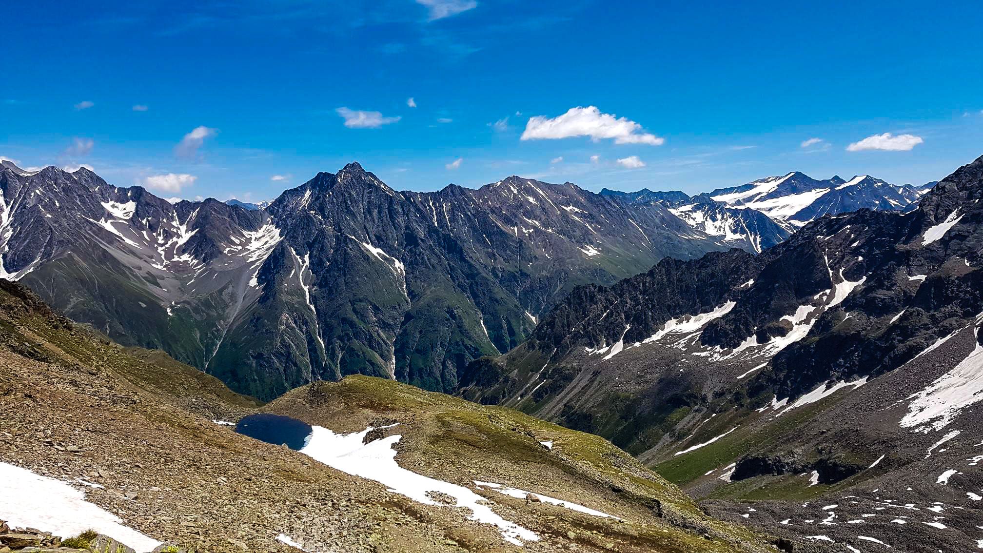
Kaunergrat circular hike in Austria – a dream for experienced mountaineers

E5 – Hiking across the Alps
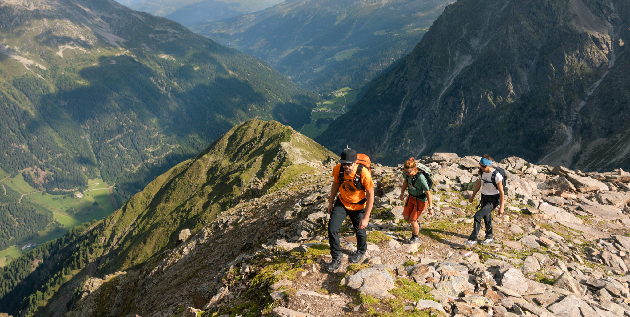
Kaunertal – glaciers, tunnels and stone pine forests
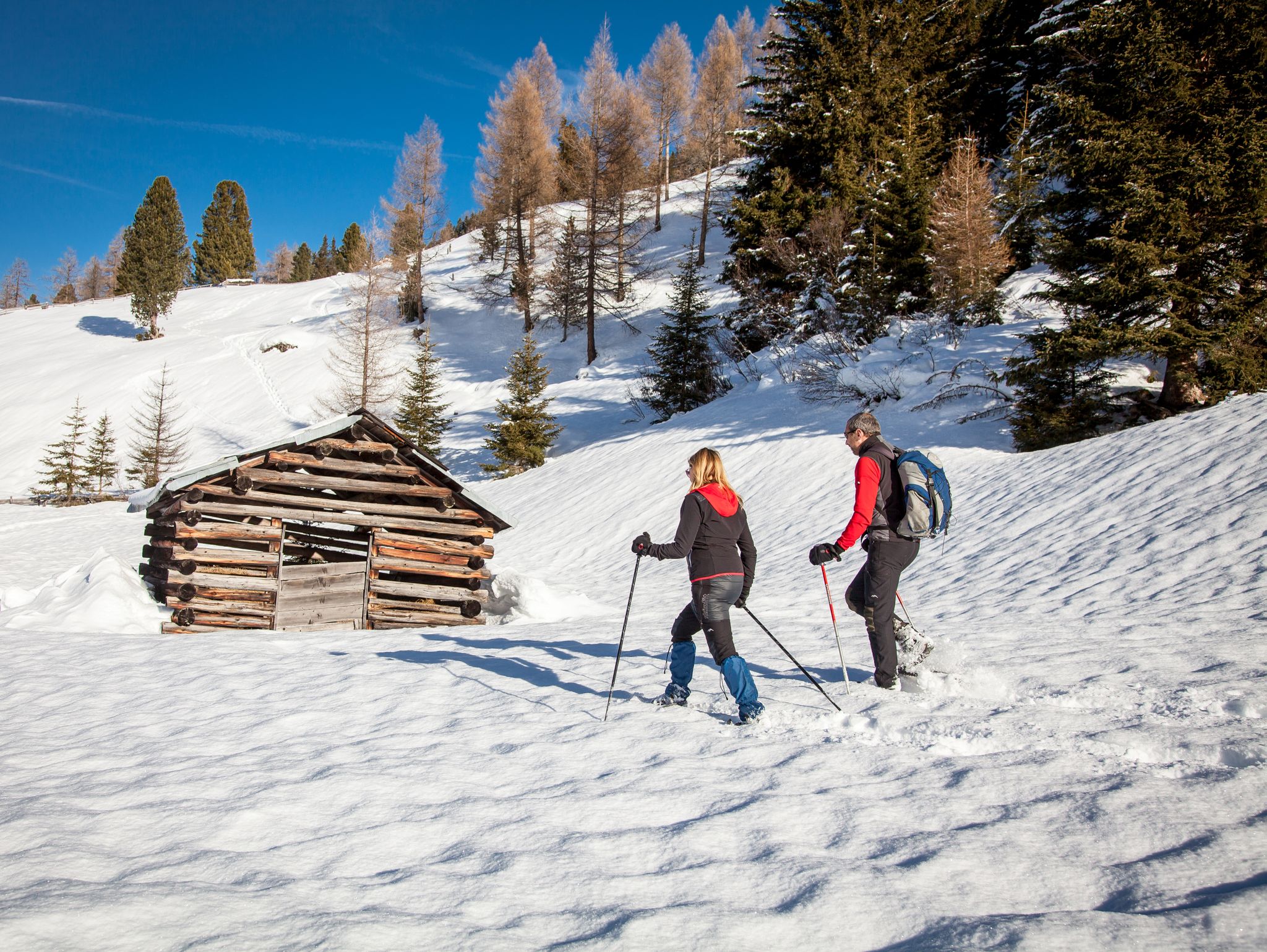
Banish the winter blues – the most beautiful winter routes in the Pitztal valley
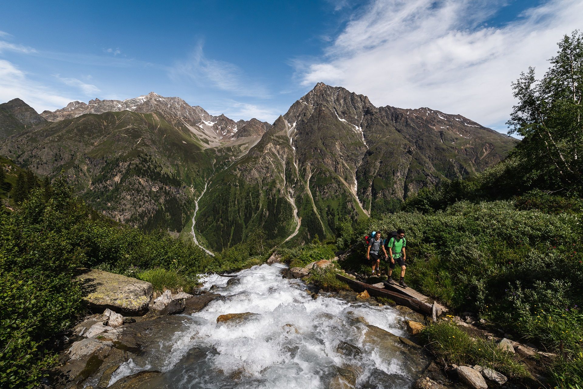
From A for Alm to Z for Zirbe — summer in Austria’s Pitztal valley
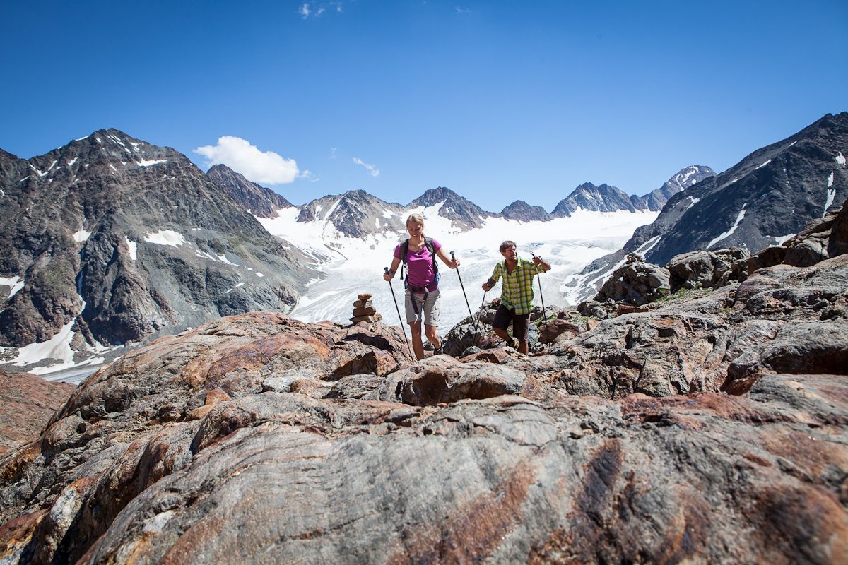
Diving into mountain adventure in the Pitztal valley
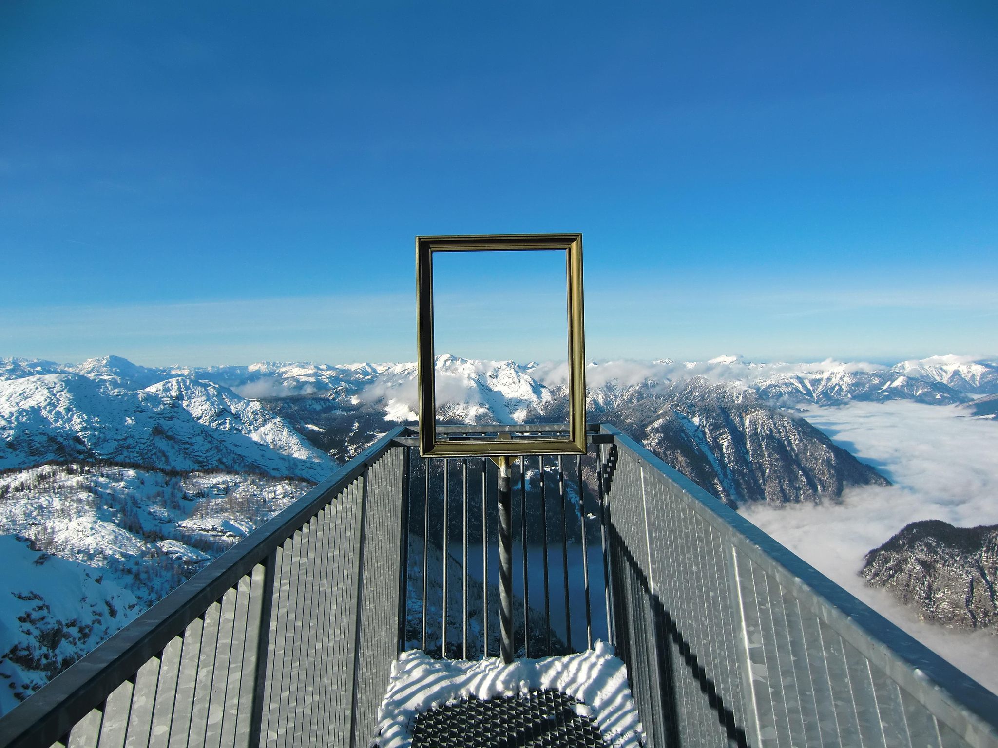
#Winterlove — 14 tips for your winter adventure in Austria
Other adventures in Nature park Kaunergrat


Tips from the Community

Beautiful lake. Easily accessible from the Kaunergrat Hut via the Steinbockjoch Pass. We then continued to the Verpeiljoch Pass and the Verpeil Hut. There are also many other trails available from there.
0
0


An absolute highlight of this lake, you can see it from the summit
0
0
The path to the hut leads past it, wonderful view
0
0

The Hapmes hunting lodge is located at an altitude of 2,117 meters and is a perfect resting place after a pleasant hike through the beautiful mountain forest.
1
0

Frozen in winter, great view.
1
0

Beautiful panorama, nice walk and afterwards you can have a nice drink or meal in the restaurant there :-)
0
1
Frequently Asked Questions
How many bus station hiking trails are available in Nature park Kaunergrat?
There are nearly 100 hiking trails in Nature park Kaunergrat that are accessible from bus stations. These routes vary in difficulty, with 35 easy, 33 moderate, and 31 difficult options to choose from.
What kind of terrain can I expect on bus-accessible hikes in Nature park Kaunergrat?
The terrain in Nature park Kaunergrat is incredibly varied, reflecting the park's diverse ecosystems. You can expect everything from dry steppe slopes in the valley to high alpine regions with rocky cirques and steep peaks. Some trails, like those around Piller Moor, are largely barrier-free, while others, such as the From Plangeross to Kaunergrathütte, involve significant elevation gains and rugged alpine paths.
Are there any family-friendly hiking trails accessible by bus in Nature park Kaunergrat?
Yes, Nature park Kaunergrat offers several family-friendly options. The Piller Moor nature trail is particularly suitable, being largely barrier-free and offering an educational experience about the unique moorland habitat. Many easy and moderate routes are also great for families, providing accessible paths and beautiful scenery.
Can I bring my dog on the bus station hiking trails in Nature park Kaunergrat?
Generally, dogs are welcome on hiking trails in Nature park Kaunergrat, but it's crucial to keep them on a leash, especially in nature protection zones and near grazing livestock. Always ensure your dog is well-behaved and that you clean up after them. Check specific trail regulations if you plan to use public transport to reach the trailhead, as rules for dogs on buses may vary.
What natural features or landmarks can I see along these bus-accessible routes?
Nature park Kaunergrat is rich in natural beauty. You can discover stunning features like the Verpeil Waterfall, the dramatic Verpeilschlucht Suspension Bridge and Waterfall, and the unique Piller Moor. Higher up, you might encounter the Rifflsee, the largest cirque lake in the Ötztal Alps, or enjoy views of glaciated peaks. The Rifflbach Waterfall – Riffelsee Circular Trail is a great option to experience some of these highlights.
Are there any circular hiking routes that start and end at a bus station?
Yes, many of the bus-accessible trails in Nature park Kaunergrat are designed as circular routes, allowing you to return to your starting point without needing additional transport. For example, the Rifflbach Waterfall – Riffelsee Circular Trail offers a scenic loop from Brandkogel.
What is the best time of year to hike from bus stations in Nature park Kaunergrat?
The best time for hiking in Nature park Kaunergrat is generally from late spring to early autumn (May to October). During these months, trails are mostly free of snow, and the weather is more stable. Summer offers lush landscapes and warmer temperatures, while autumn provides stunning fall foliage. Higher alpine routes may still have snow into early summer.
Are there any challenging routes accessible by bus for experienced hikers?
Absolutely. For experienced hikers, routes like the From Plangeross to Kaunergrathütte or the Trail to Mittelberglesee offer significant elevation gains and demanding terrain. These routes require very good fitness, sure-footedness, and alpine experience, often leading to high-altitude huts or lakes.
What do other hikers enjoy most about the bus station trails in Nature park Kaunergrat?
The area is highly rated by the komoot community, with an average score of 4.6 stars. Reviewers often praise the stunning panoramic views, the diverse and well-maintained trails, and the convenience of accessing such beautiful nature directly via public transport. The variety of landscapes, from lush valleys to rugged alpine peaks, is frequently highlighted.
Are there any specific viewpoints or scenic spots along bus-accessible routes?
Many trails offer incredible viewpoints. The Kaunergrat Nature Park House itself, located at 1,550 meters, provides panoramic views from its 'Gacher Blick' viewing platform. Routes like the Zirbenweg - views in the Kaunertal are specifically known for their scenic vistas across the valleys and towards the glaciated peaks. You'll find numerous spots to take in the dramatic alpine scenery throughout the park.
Are there cafes or restaurants near bus stops or along the hiking trails?
Yes, especially in the villages and at popular trailheads, you'll find cafes and restaurants. Many alpine huts along the longer routes also offer refreshments and meals during the hiking season. It's always a good idea to check opening times in advance, especially outside of peak season.
Most popular routes in Nature park Kaunergrat
Most popular attractions in Nature park Kaunergrat

Get inspired with the komoot mobile app


Explore more
Browse the best Hikes in other regions.
