The best traffic-free bike rides in Sierras De Urbasa Y Andía
4.6
(70)
4,919
riders
33
rides
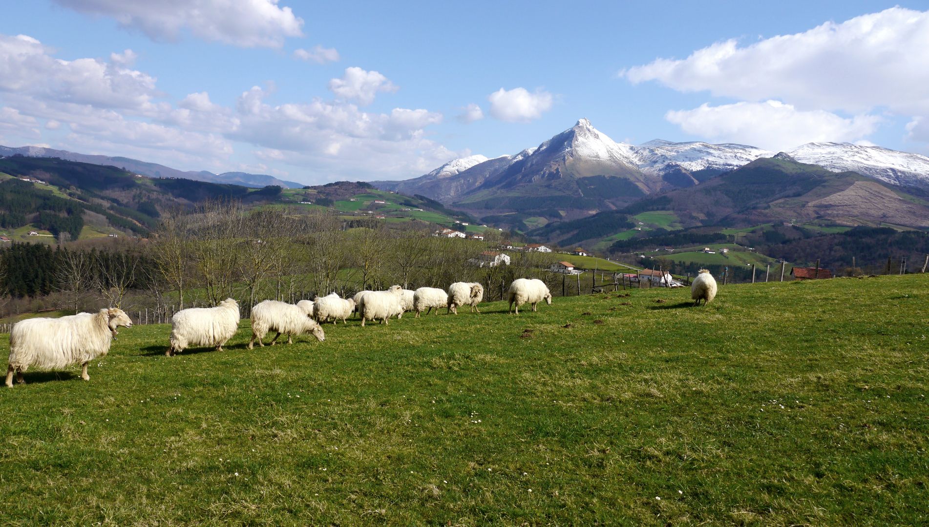
No traffic road cycling routes in Sierras De Urbasa Y Andía traverse a diverse landscape characterized by a large karst massif, reaching elevations of 1,000 meters. The region features extensive beech forests, open mountain pastures, and dramatic geological formations. Road cyclists can expect varied terrain, from scenic roads winding through the Natural Park to challenging climbs.
Best no traffic road cycling routes in Sierras De Urbasa Y Andía
- The most popular no traffic road cycling route is View of the…
Last updated: May 18, 2026
27
riders
61.4km
02:39
370m
370m
Moderate road ride. Good fitness required. Some segments of this route may be unpaved and difficult to ride.
4
riders
16.1km
01:13
230m
230m
Easy road ride. Great for any fitness level. Mostly well-paved surfaces and easy to ride.

Sign up for free
5.0
(1)
52
riders
45.5km
02:18
740m
740m
Moderate road ride. Good fitness required. Mostly well-paved surfaces and easy to ride.
10
riders
28.8km
01:59
410m
410m
Moderate road ride. Good fitness required. Mostly well-paved surfaces and easy to ride.
4
riders
10.9km
00:58
170m
170m
Easy road ride. Great for any fitness level. Mostly well-paved surfaces and easy to ride.
Get access to more routes and recommendations from other explorers.
Sign up for free
Already have an account?
Our route recommendations are based on thousands of hikes, rides, and runs completed by other people on komoot.
Start today with a free account
Your next adventure awaits.
Login or Signup


Other adventures in Sierras De Urbasa Y Andía

Tips from the Community

bar for a must-stop in agurain
1
0
to have a coffee in the middle of the route. You have to watch your bikes ⚠️⚠️⚠️
2
0
beautiful classical church in the middle of the plain
2
0

Zalduondo was an important step on the Camino de Santiago in the Middle Ages. Its strategic location between the Llanada Alavesa and Guipúzcoa benefited it and it had great strength. Examples of that period are the Lazarraga palace and the church of San Saturnino in Tolosa.
0
0

Small council belonging to the municipality of Gesalatz with a pediment that occupies part of the road. Demonstration that it does not have much traffic.
0
0

Located next to the road that connects Egiarreta with Irurtzun, it is an obligatory stopping point for those traveling along the GR 20. It is a Romanesque construction from the 13th century, although it was not classified as an asset of cultural interest until 1993.
0
0

Today little remains of what was once the church of Galarreta. In the middle of the 20th century it lost part of the church and in 2014 the tower collapsed. Years later they reconstructed part of the remains, leaving what can be seen today. It is almost an obligatory stop when traveling through the Cuadrilla de Salvatierra.
0
0
Frequently Asked Questions
How many no traffic road cycling routes are available in Sierras De Urbasa Y Andía?
There are over 30 dedicated no traffic road cycling routes in Sierras De Urbasa Y Andía, offering a variety of distances and elevation profiles for different preferences.
What natural features or viewpoints can I expect to see along these routes?
The routes often pass through stunning landscapes. You can experience the dramatic karst massif, vast beech forests, and open mountain pastures. Notable viewpoints include the Ollide viewpoint, offering panoramic vistas. Some routes may also bring you close to the Source of the Urederra River, famous for its turquoise pools, or the unique Portupekoleze Arch.
Are there routes suitable for different fitness levels?
Yes, the region offers routes for various fitness levels. You'll find 7 easy routes, 20 moderate routes, and 6 difficult routes, ensuring there's a suitable option whether you're looking for a relaxed ride or a challenging climb.
What is the best time of year for no traffic road cycling in Sierras De Urbasa Y Andía?
The climate and terrain in Sierras De Urbasa Y Andía make it suitable for cycling through much of the year. Spring and autumn generally offer pleasant temperatures and vibrant scenery, while summer can be warm but still enjoyable, especially in the shaded beech forests.
Are there any circular no traffic road cycling routes?
Many of the routes in Sierras De Urbasa Y Andía are circular, allowing you to start and end at the same point. An example is the Alto de Urritzola – Fuente de Urritzola loop from Arakil, which covers nearly 45 km.
What are the typical distances and elevation gains for these routes?
Distances vary significantly, from shorter rides to longer excursions. For instance, the Zalduondo – Iglesia de Galarreta loop from Olazti / Olazagutía is around 39 km with about 230 meters of elevation gain, while the Fuente de Urritzola – Alto de Urritzola loop from Uharte Arakil stretches over 63 km with more than 860 meters of climbing.
What do other road cyclists enjoy the most about road cycling in Sierras De Urbasa Y Andía?
The area is highly rated by the komoot community, with an average score of 4.55 stars. Reviewers often praise the quiet roads, diverse landscapes ranging from dense forests to open pastures, and the challenging yet rewarding climbs that offer spectacular views.
Are there any historical or religious landmarks near the cycling routes?
Yes, you might encounter historical or religious sites. For example, the Ermita de San Donato is a notable religious building located near some of the park's peaks, offering a glimpse into the region's heritage.
Can I find routes that offer significant climbs for experienced cyclists?
Absolutely. The mountainous terrain of Sierras De Urbasa Y Andía, with peaks over 1000 meters, provides challenging climbs. Routes like the View of the Etxauri Cliffs – Alto de Urritzola loop from Arakil feature substantial elevation gains, making them ideal for experienced riders seeking a workout.
Are there specific routes that are particularly scenic?
Many routes are inherently scenic, winding through the Natural Park's diverse ecosystems. The roads often offer views of the dramatic karst formations, lush beech forests, and panoramic vistas from higher elevations, such as those overlooking the Améscoa valley.
What kind of terrain can I expect on these no traffic road cycling routes?
The terrain primarily consists of paved roads that traverse the varied landscapes of the Natural Park. You'll encounter ascents and descents through forested areas, open mountain pastures, and along the edges of the karst massif, providing a dynamic cycling experience.
Most popular routes in Sierras De Urbasa Y Andía
Most popular attractions in Sierras De Urbasa Y Andía

Get inspired with the komoot mobile app


Explore more
Browse the best Road cycling routes in other regions.
